
Distance: 71.6 miles
Time: 6:59
Elevation: 4297 feet
I awoke early with the sun shining through the walls of the tent, and was feeling particularly sore. I had a shower and quickly grabbed a roll and sausage from the cafe at the campsite, before walking my bike up the steep hill that left the farm. It was 10 o’clock on a beautiful morning, as I passed through a gate out onto a stunning high moorland, so peaceful that the sheep sunbathing on the road didn’t move a muscle as I pedalled on vigourously up the hill.
Dropping down off the moor, I climbed up to the quaint town of Sedbergh, stopping at the cafe to pick up some food for the ride. Debating what cake would be suitable for taking on the bike, it was pointed out that the cheesecake was baked, so it should be ok!

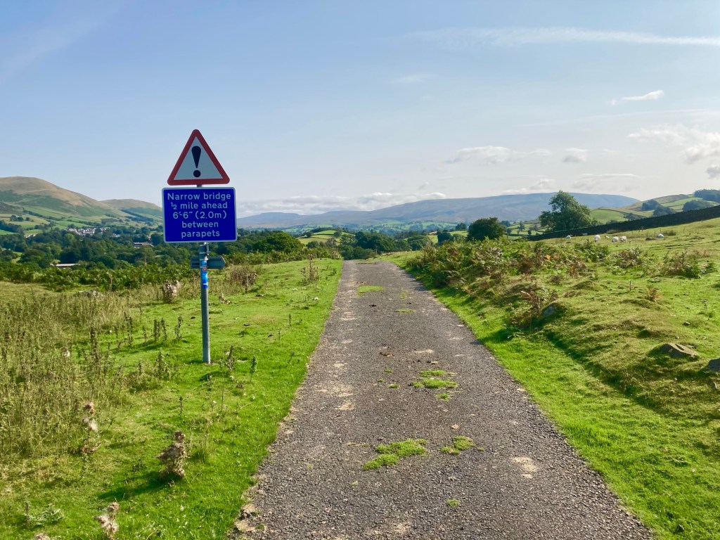
Climbing steeply out of Sedbergh, the road passed along the side of the Howgill Fells, on the western extremity of the Yorkshire Dales. The scenery was amazing, the weather was fantastic, and yes, even the hills were alright. As I traversed along the hillside, eventually I could see the M6 in the distance, and gradually I worked my way closer.
Finally reaching the motorway, just south of Tebay services, I crossed underneath and instantly started the tough Loups Fell climb, on a single-track road only popular with other cyclists and motor-cyclists.
Dropping back to the M6 once more, I passed underneath the Northbound carriageway, and found myself in the bizarre situation of cycling along between the carriageways, until eventually passing back out again and beginning the steep climb to Shap summit.

It was a tough climb in the full glare of the sun, and I was glad to roll the few miles down the other side into the small town of Shap. My back wheel had been creaking again, and I discovered three loose spokes, so I tightened those back up, and grabbed some ‘fuel’ from the Co’op before setting off for Penrith.
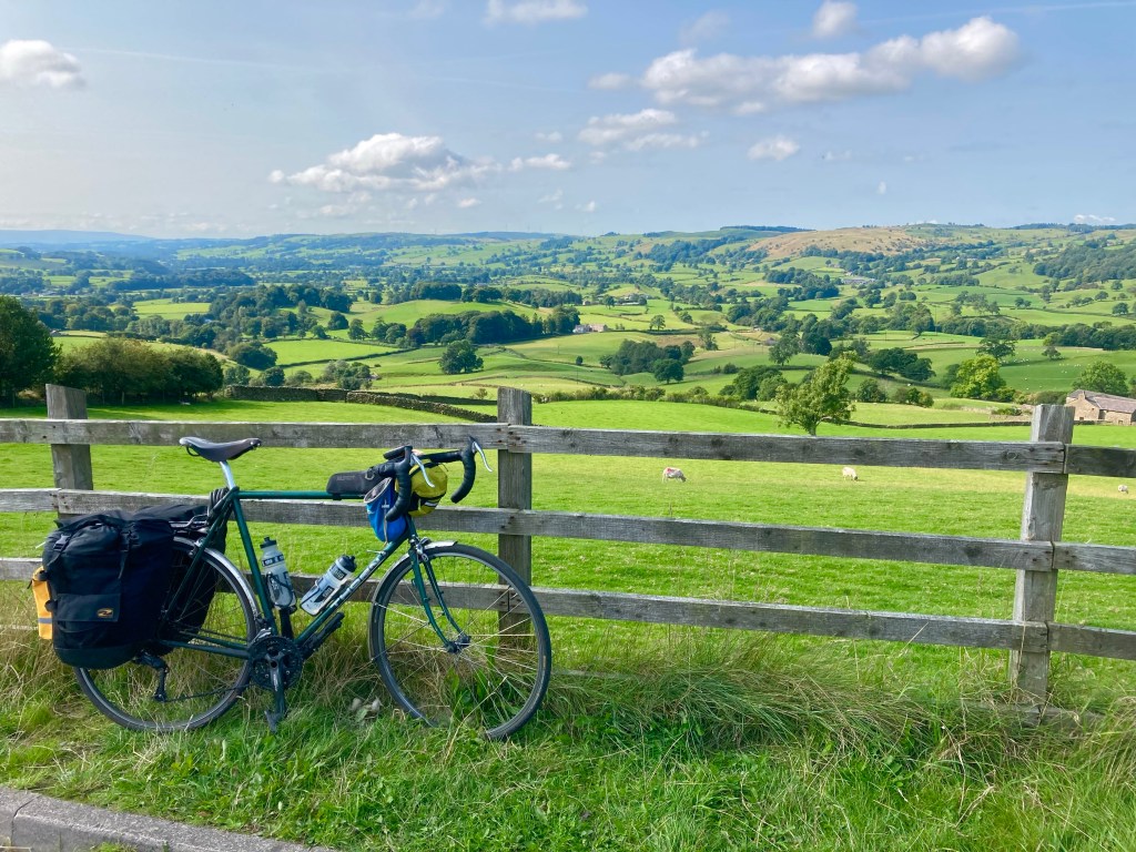
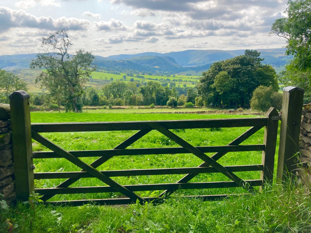
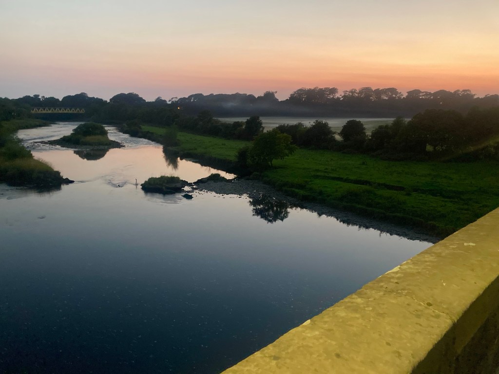
The next part of the route climbed up to Rosgill on the fringes of the Lake District, the road falling and running alongside the River Lowther, with the eastern fells of the park in the distance.

Eventually reaching Penrith after a long slog and plenty of climbing, I was still only at 32 miles for the day and was keen to get going as I struggled around the town’s over-complicated one-way system.
Jumping on the A6 – because Google maps said it would only take 1 hour 33 minutes to reach Carlisle – I was delighted to complete the 18 miles in 1 hour 15. It didn’t seem fair to leave Carlisle so hurriedly, after stumbling upon the castle and city walls, but I had my heart set on finishing the day in Scotland, so the time was a-ticking!
10 miles, with a brief glimpse of the Solway Firth, and a blast alongside the M6 later, and I’d finally returned to Scotland, crossing the border at Gretna Green and finding the Lejog ‘midpoint’ post.
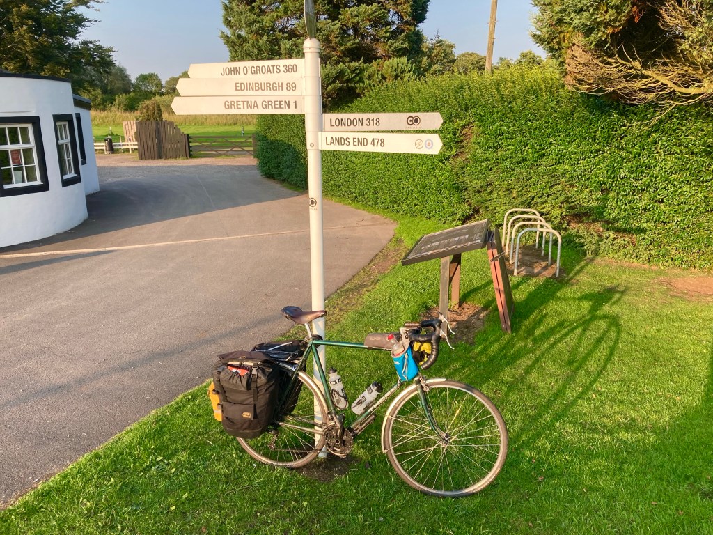
Feeling buoyed by the achievement of cycling the length of England, I had a good feeling that the campsite I was aiming for in Annan, 10 miles away, would come up trumps; and that it did, on arriving at the Galabank campsite – at 7:30 PM – there was plenty of space and an amenable host who texted me the shower room code and told me just to drop my money in the postbox if she didn’t see me. Refreshingly casual, it was nice to be home.

Making good time in between wheel fixing, snacks and image taking. Good to be on home ground I note, less than half of England to cycle, so keep listening for those creaky spokes. Good luck.
LikeLike
Thanks, yes it’s sometimes difficult to find time in the day for the cycling, which is why I always finish so late! Hopefully I can nurse the wheel to the end, perhaps 6 days left. Cheers, Michael
LikeLike