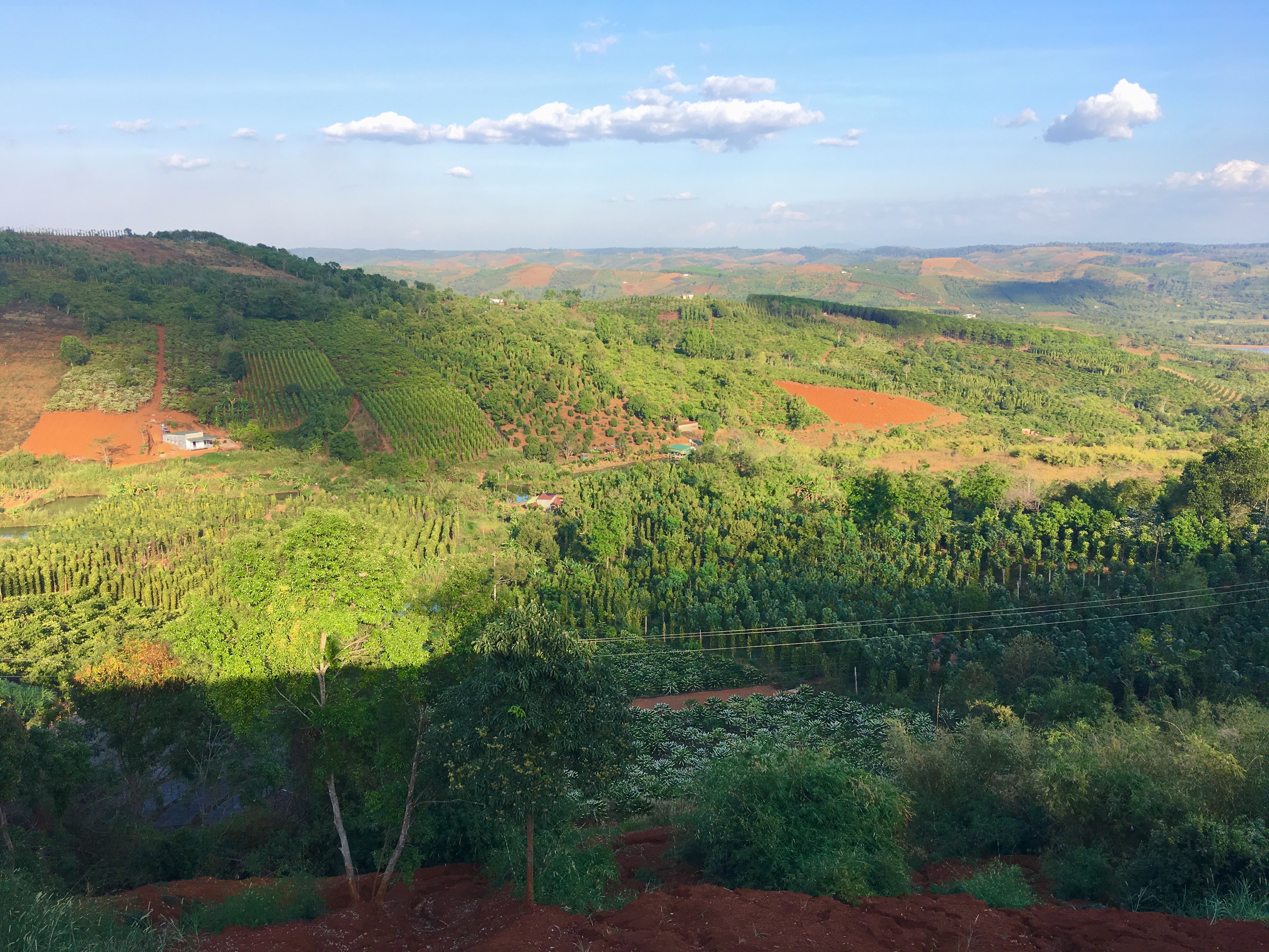
Edinburgh – Penzance
~ 600 miles
13.5 hours
My plan was to take my bike down to Penzance on the train, thinking that would be the most relaxing way to travel; I was wrong. It all started at 5PM yesterday when the Trainline emailed me to say that my very rare direct Cross Country train from Edinburgh to Penzance with associated bike reservation had been cancelled. The rail network help desk clarified that the 9:08 am train was actually running, but instead of arriving in Penzance at 20:53, it would only be going as far as Bristol Parkway due to ongoing rail works. I could get as far as Bristol, but after that I would have to hope for the best, no cycle reservation spaces were available and only one unreserved bike was allowed per train.
I considered cancelling the booking, and looked longingly at the heavily populated timetables of the East and West coast lines, ruing my decision to opt for the Cross Country route, one that was infrequent, slow and now partially cancelled. But, as is usually the case in situations like this, I decided to embrace the uncertainty and see what happened!
The tone for the day was set when I arrived at Waverley and tried to deposit my bike at the guard van. There was already one bike onboard and another 4 waiting to get on, 3 bike spaces did not seem enough, but at least I had a reservation for this section…
The first few hours passed pleasantly enough, then as we passed through Newcastle and Durham the train filled up and it was a strange sensation to be crammed in with an ever changing cast of maskless strangers. Plenty departed in York but the train soon filled again on the approach to Birmingham, so I was relieved when an emptier train made the final few stops to Bristol Parkway. The fewer people around to board the 17:25 train to Plymouth, the less chance of competition for that one unreserved bike space.
When the 17:25 train arrived, things appeared to be looking up when I found a carriage with three empty bike spaces and jumped on board. Relieved that the train was quieter than I’d imagined, my thoughts now turned to my connection from Plymouth to Penzance on what would be a different network entirely. I would be getting a Great Western Railways train, but I didn’t know at what time, and their website stated that bike reservations were essential.
Leaving Bristol Parkway, the conductor was initially optimistic that our train could arrive in Plymouth before the London – Penzance connection, but that optimism soon faded as we were delayed over and over again. If we missed the connection, I was concerned it’d be too late to check into my accommodation, the last check in time was 10 o’clock, 20 past 11 might be stretching it a bit.
Then, the conductor came excitedly through the carriage again, the Penzance train had been delayed and was now directly behind us, if we jumped out at Tiverton Parkway station, the other train would stop right after us and pick us up. There was no guarantee I’d get my bike on the train and the station was little more than a halt, but it was a risk I was willing to take. This time the bike compartment was carriage C and again I was relieved to find a space. I quickly messaged the network’s Twitter account and requested a cycle reservation for the rest of journey, I’d come so far, I didn’t want to fall at the final hurdle. Then I contacted my hotel to tell them I’d only be a little bit late…
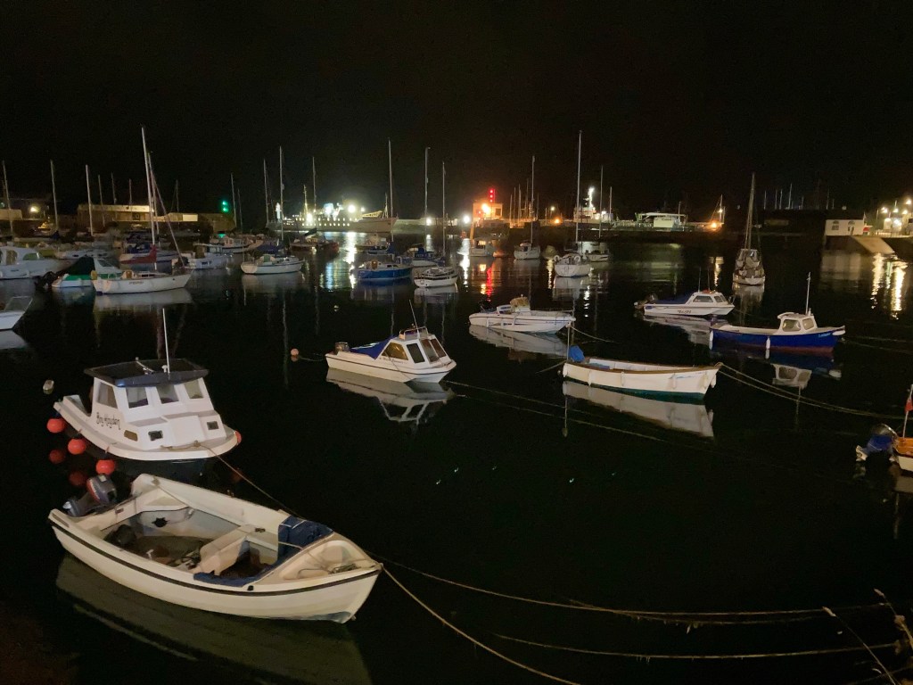
Eventually, the train pulled into the station at half past 10, 13 and a half hours after I’d left Edinburgh, it wasn’t far around the harbour to my hotel, so thankfully I just made last orders. Train travel with a bike is stressful, think I’ll stick to a plane next time!