Category: Uncategorized

Day 30: Veterans Memorial Park (Monterey) – Greenfield

Day 30: Veterans Memorial Park (Monterey) – Greenfield

Distance: 53.40 miles.
Time: 4:13.
Average Speed: 12.6 mph.

Victory from the jaws of defeat is how I shall categorise today, and I can scarcely believe the recovery myself.

As Route 1 through Big Sur has been closed, due to landslides during the winter, my alternative route takes me inland through King City. This adds 30-40 miles to an already very full itinerary. The inland route is not covered in my book or maps, so the route is a bit of an unknown. Today, I was hoping to do a 60 mile day to King City, then get a motel to recharge some batteries, literal batteries, that is.

First, I was just going to pop a new chain on the bike…

I’d replaced the chain with a ‘Shimano’ one before I set off, so no problem, I thought. But the one I’d been given in the shop was ‘SRAM’ and came with a Master Link to connect it, I was nervous to use it, as I’d struggled to generate enough force to ‘close’ master links in the past. Having difficulty again, I opted to use my trusty chain tool, but struggled in vain, for hours. I eventually realised that because SRAM uses the master link fastener, the tolerances of the chain assembly itself are more exacting and the inelegant chain tool on my multitool was too imprecise. I had to return to using the master link, so I googled the problem, which offered up the answer immediately. I was to loosely fasten the master link by hand, and then stamp on the pedals with all my force, with the brakes on. Click, it worked. I couldn’t believe it, it had sounded a terrible idea! I rolled into Monterey for lunch having spent 4 hours trying to install the chain.

On finishing lunch, my front tyre was flat. I changed the inner tube, but it was now half past three. The idea of returning to last night’s campsite and starting afresh tomorrow was very appealing. But I was close to a bike shop, so I bought two new inner tubes and some bread and headed off into the unknown.

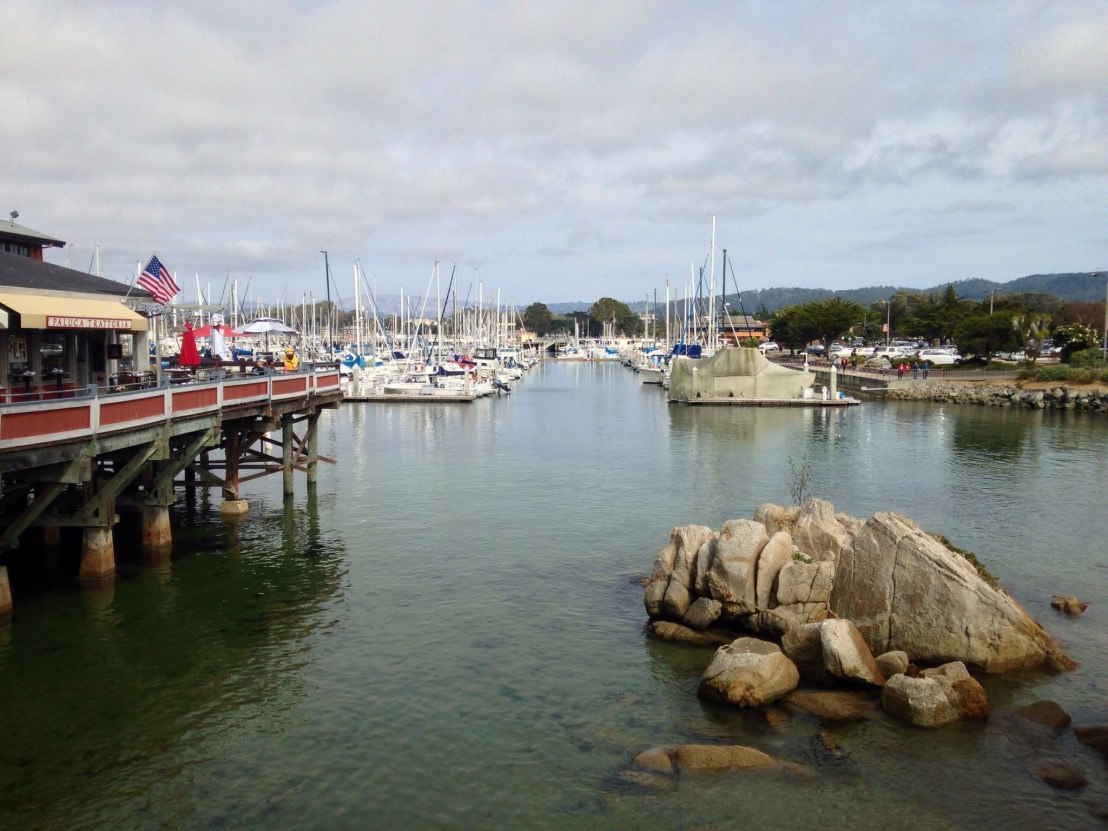
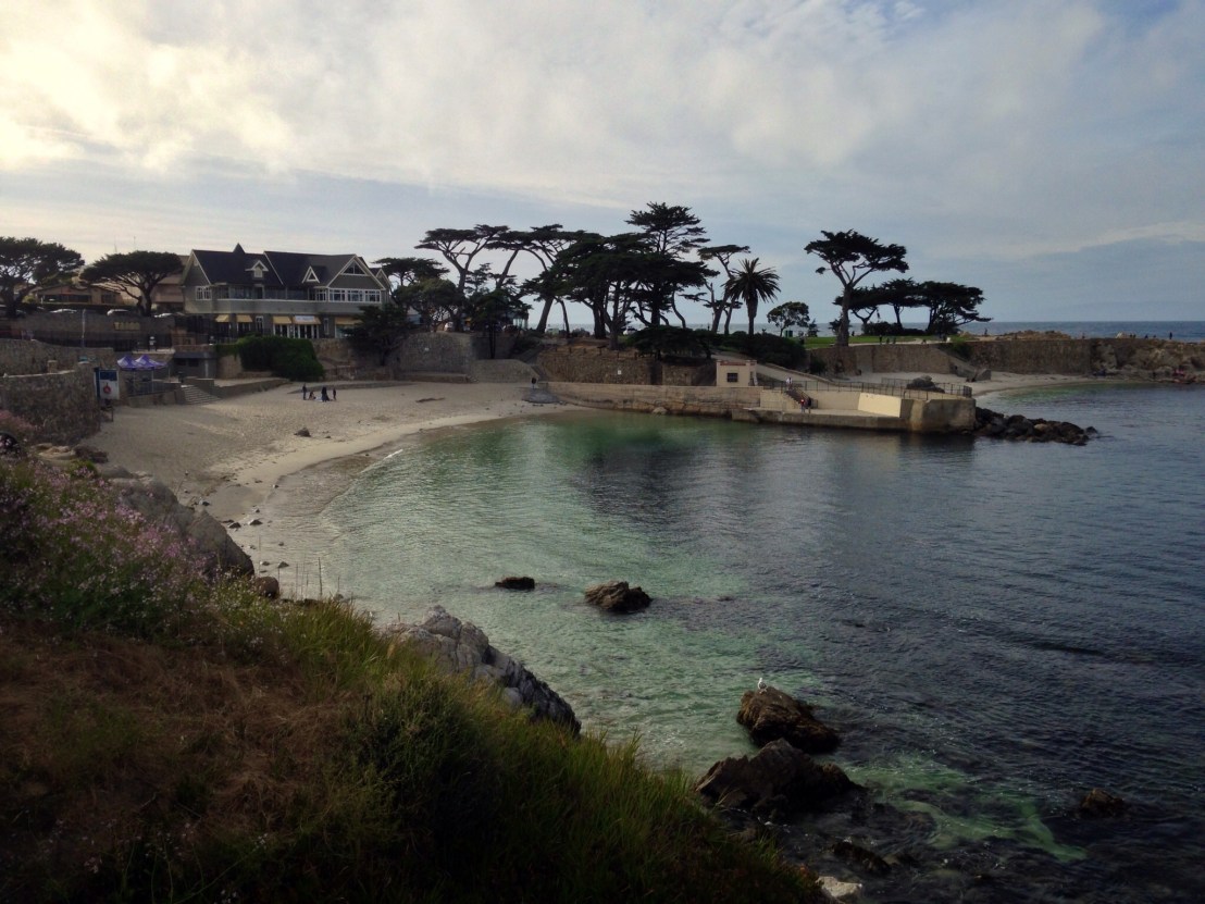
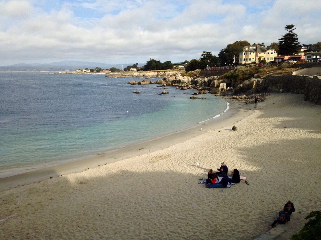
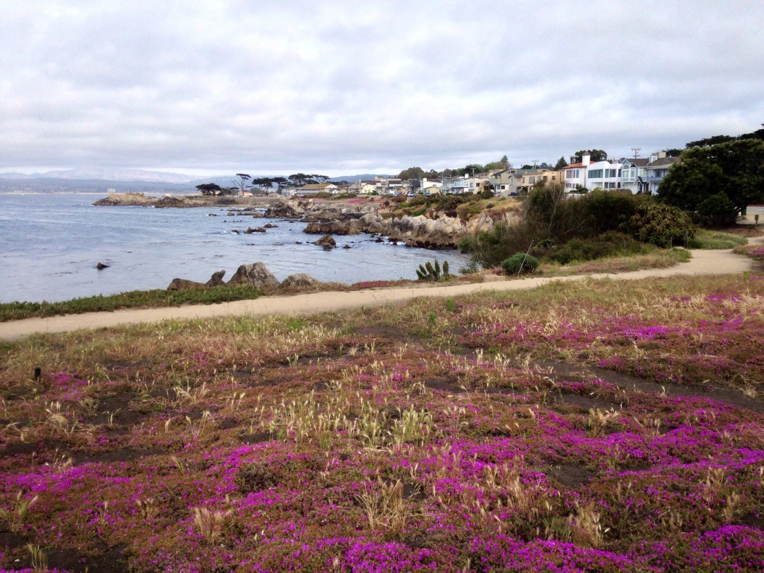
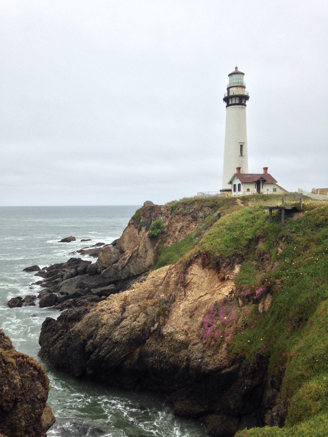
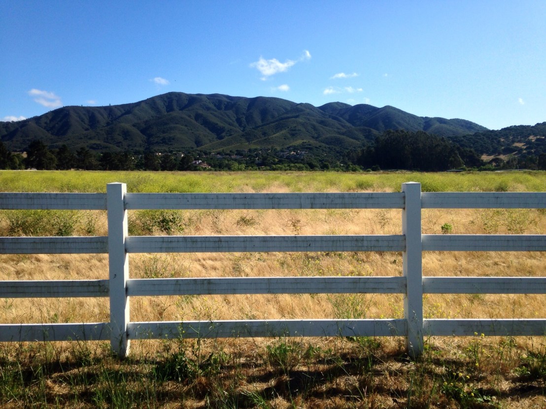
Out of Monterey, and heading inland towards Salinas, the landscape changed completely, it looked like the South of Spain, not a bad place to be when having a terrible day I mused.

image.jpg


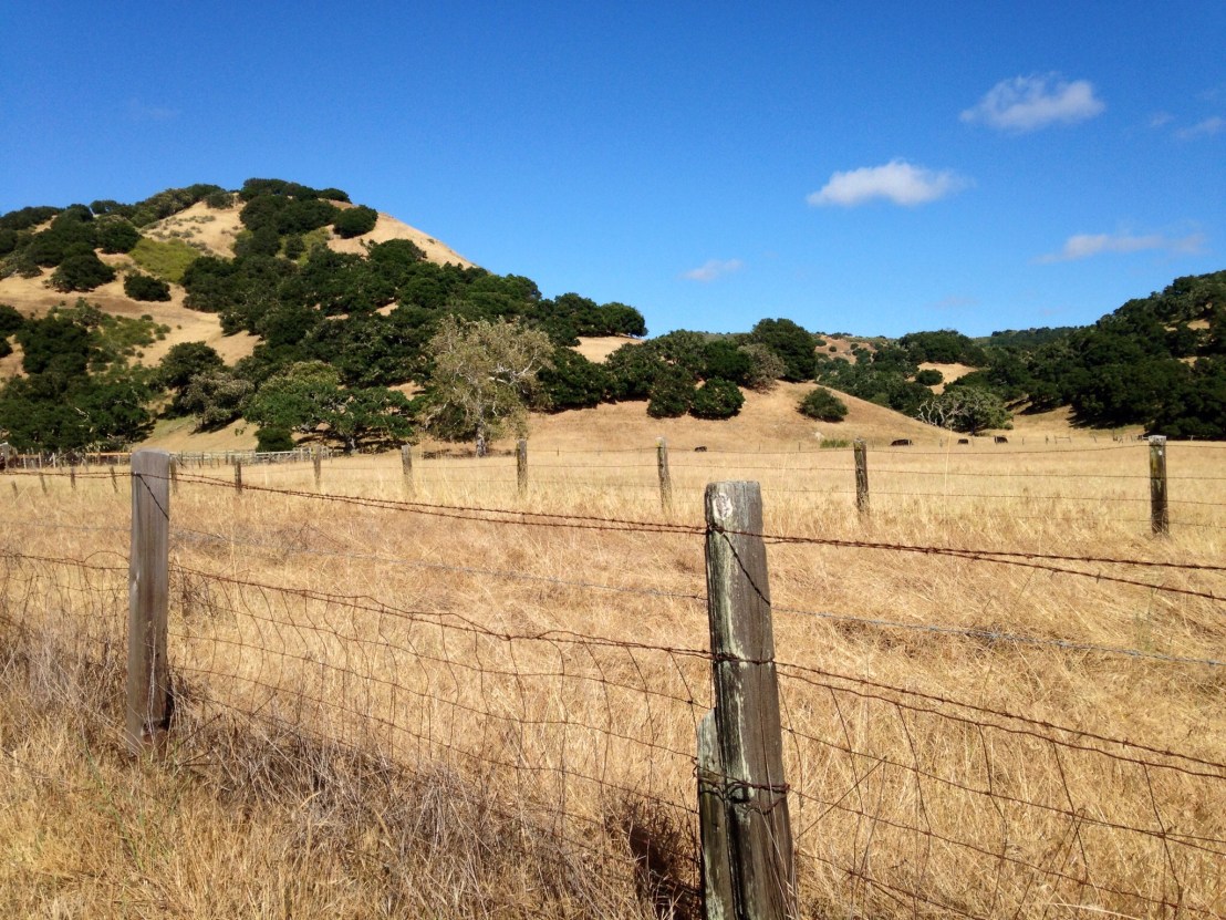
Then, when I turned South along the Salinas River, on River Road, I discovered the most amazing tailwind. I was up over 20 mph on the flat, it was a great day for riding. The road was flat and straight for miles and then it started winding its way around vineyards and agricultural land. All backed by a stunning range of  green-clad peaks.


image.jpg

The last few miles, I was on the 101, and when I was directed off, before it became a Freeway at Greenfield, I decided to call it a day and find a Motel. 50 miles in 4 hours, I’ll take that after the morning I had.

For dinner, I had a pizza from a nearby takeaway. The manager, Adrian, was amazed by my journey, so amazed, in fact, that he gave me my pizza for free! It was very good, too.

Day 29: New Brighton State Beach – Veterans Memorial Park (Monterey)

Day 29: New Brighton State Beach – Veterans Memorial Park (Monterey)

Distance: 56.44 mph.
Time: 6:14.
Average Speed: 9.1 mph.

Today was a day to get through quickly, for two reasons: one because Monterey was recommended as one of the must sees of the coast, and two because the next few days could be long ones.

I left the campsite at 9:50, in deference to the 9 o’clock check out time. I wasn’t the last to leave, before you ask. I stopped for breakfast at a nearby cafe, and then at a supermarket. While there, I encountered two of the other bikers who’d been staying at the campsite. A Canadian, Gilles, who was cycling the route for the second time, 25 years after the first, and Tony, who was in the middle of a year long crusade to cycle the 48 states. Tony was deaf so we conducted conversations through the medium of iPad notes. He told me he’d encountered a Grizzly bear in Yellowstone park and met a French couple with two young kids who had cycled Australia and New Zealand and were now doing America too!

Back on the road I was relieved that the going was mainly flat, the route winding its way through farmland away from the highway. On reaching Marina and Seaside the route switched to a cycle path along the coast and made its way into Monterey. The sole antagonist today was the wind, no longer an ally, spent much of the day as a stiff crosswind, as I headed west around the bay.

On reaching Monterey, I found a pretty little town formed around a busy harbour.

image.jpg

I circled around the centre before heading for a bike shop. Opting to disregard my natural instinct to let my bike deteriorate to the point that it self-destructs shortly after I reach the end of the journey, I decided to try and sort the now, extremely rough, drive train. I bought a new chain, some degreaser and a brand new inner tube, for luck.

After my shopping spree, it was still only half past 5, so I headed along passed Cannery Row to Pacific Grove, and found a stunning piece of coastline, one of the highlights of the journey, and I had time to savour it.

image.jpg

image

image.jpg

I continued around Point Lobos, passing the rugged beaches of Asilomar State Beach before continuing onto Sunset Drive and starting a 200 metre ascent before dropping back down to the pleasant Veterans Memorial Park campsite on the Monterey skyline.

Yet again, I arrived at the campsite at sunset, at least this time it was by choice.

Day 28: Half Moon Bay – New Brighton State Beach

Day 28: Half Moon Bay – New Brighton State Beach

Distance: 60.94 miles.
Time: 5:52.
Average Speed: 10.4 mph.

It was cold and damp when I left the campsite this morning, so I rolled along to the Half Moon Bay Main Street for breakfast. I’d woken feeling hungry, despite wolfing down a McDonald’s at 5 o’clock yesterday, and then, on setting up camp, heading for a ‘super burrito’ at a nearby Mexican restaurant. The burrito was enormous and great value, at $9 including a side of tortilla chips.

Leaving Half Moon Bay, I was delighted to find I was accompanied by a tailwind, which was lucky as there were a couple of stiff climbs during the first portion of the ride.

I passed some nice beaches at San Gregorio and Pescadero, but the overcast conditions weren’t painting them in their best light. After Pescadero I reached Pigeon Point, and took a short side trip to the fine lighthouse there.

image.jpg

I stopped shortly after, for lunch, the roadside bar being one of the few amenities along this stretch.

Heading back onto the highway, I discovered my back tyre was soft and needed attention. I found glass embedded in the tyre that appeared to be the cause of the puncture. As I changed it, I wondered whether I’d made a mistake yesterday, while waiting for Matt’s wheel, by spending the best part of an hour outside a bike shop without buying any new inner tubes! Luckily, the repaired one I put on seemed up to the job.

Back on the road, I still had the wind on my side, and I was flying along at 18-19 mph for mile after mile. Then, around 5, the sun came out and it was finally the nice day that had been forecast, and with the strong winds there were kite surfers out in force all along the coast.

image.jpg

Finally, reaching Santa Cruz, I turned onto a bike path, and a young couple turned into my guides, leading me to the path along the coast and explaining the route ahead. The guy had previously toured in Europe, and we spoke of his routes in Corsica.

I passed the boardwalk fairground, and crossed an old railway bridge converted for pedestrians, then as I continued around the coast an older couple stopped to ask if I needed somewhere to stay, as they regularly hosted cyclists. I felt terrible turning them down, but I was in full on ‘I must get to the campsite now and this day has been a complete write- off otherwise’ mode. It was, however, just another example of the generosity and thoughtfulness I’ve come to experience during this trip.

Due to the huge tailwind, I didn’t arrive at the campsite until 20 past 8, it hadn’t been that hard a day, so I’d hoped to arrive earlier. Presumably not starting until after ten had something to do with it. There won’t be the same luxury tomorrow, check-out time for bikers is 9am!

image.jpg

Day 27: Samuel P. Taylor – Half Moon Bay

Day 27: Samuel P. Taylor State Park – Half Moon Bay State Beach

Distance: 63.60 miles.
Time: 6:59.
Average Speed: 9.1 mph.


image

Today was a major transitional one, passing through one of the world’s great cities en route. Having left Highway 1 last night, most of today was on bike tracks and residential streets before I finally returned to ‘The 1’ shortly before the end of the day.

Still accompanying Matt and Joe, we set off shortly after 9, stopping a few miles in for breakfast at Lagunitas. They had been planning on getting a ferry back across San Francisco Bay on their way to Oakland, but opted to continue with me to the bridge, before getting a train, instead. Not only was it great to have the company for the extra 30 miles, but local knowledge was invaluable while navigating through a difficult area.

After breakfast, we enjoyed a few more miles through quiet countryside before passing through a run of towns on cycle tracks and quiet residential streets. There were cyclists everywhere, and not of the touring kind, this was a very popular route for day rides in the San Francisco area.

After 20 miles, Matt broke a spoke. He’d already broken one earlier in the week, so now his wheel was wobbling disconcertingly. Luckily, there was a bike shop 100 yards down the street, and although it didn’t seem like they were eager to help, eventually the owner produced spare spokes and set to work re-building the wheel.

Back on the road, we pedalled through Sausalito, passing a mass of permanent houseboats offshore, then, as we travelled around the headland, stunning views of San Francisco, and eventually the Golden Gate Bridge appeared. We stopped for pictures before joining the mass of other cyclists crossing the bridge.

image.jpg

Unfortunately, It was time to say goodbye to Matt and Joe, it had been a real pleasure riding with them, and Matt joked that they should come along to San Diego too, a route they had done before.

Left to my own devices I got lost trying to leave the hectic bridge area, eventually finding the street I required, Arguello Boulevard, before heading through Golden Gate Park to the coast. It seemed a real shame to pass through San Fran so quickly, but I still had 30 miles to cover and it was already late-afternoon.

Out of the city, I made good time passing through the suburban sprawl of Daly City and Pacifica, where I rejoined Highway 1. Approaching a tunnel after a climb out of Pacifica, I remembered what Matt had said earlier about a detour around it on ‘Devil’s Slide Trail’. While the road tunnelled through the headland, an immaculate cycle path worked its way around it, and was virtually empty at half 7 at night.

image

The miles were flying by, with a tailwind at my back and much more gentle terrain than I’d had for several days. Soon I was nearing Half Moon Bay for the night’s camp.

Rolling along the coastal bike path, talking to a couple of local cyclists as I reached the campground, they were able to point out the biker camping to me as we went by. I pitched my tent as darkness fell.