Category: Uncategorized

Day 14: Lookout Bay – Beverly Beach

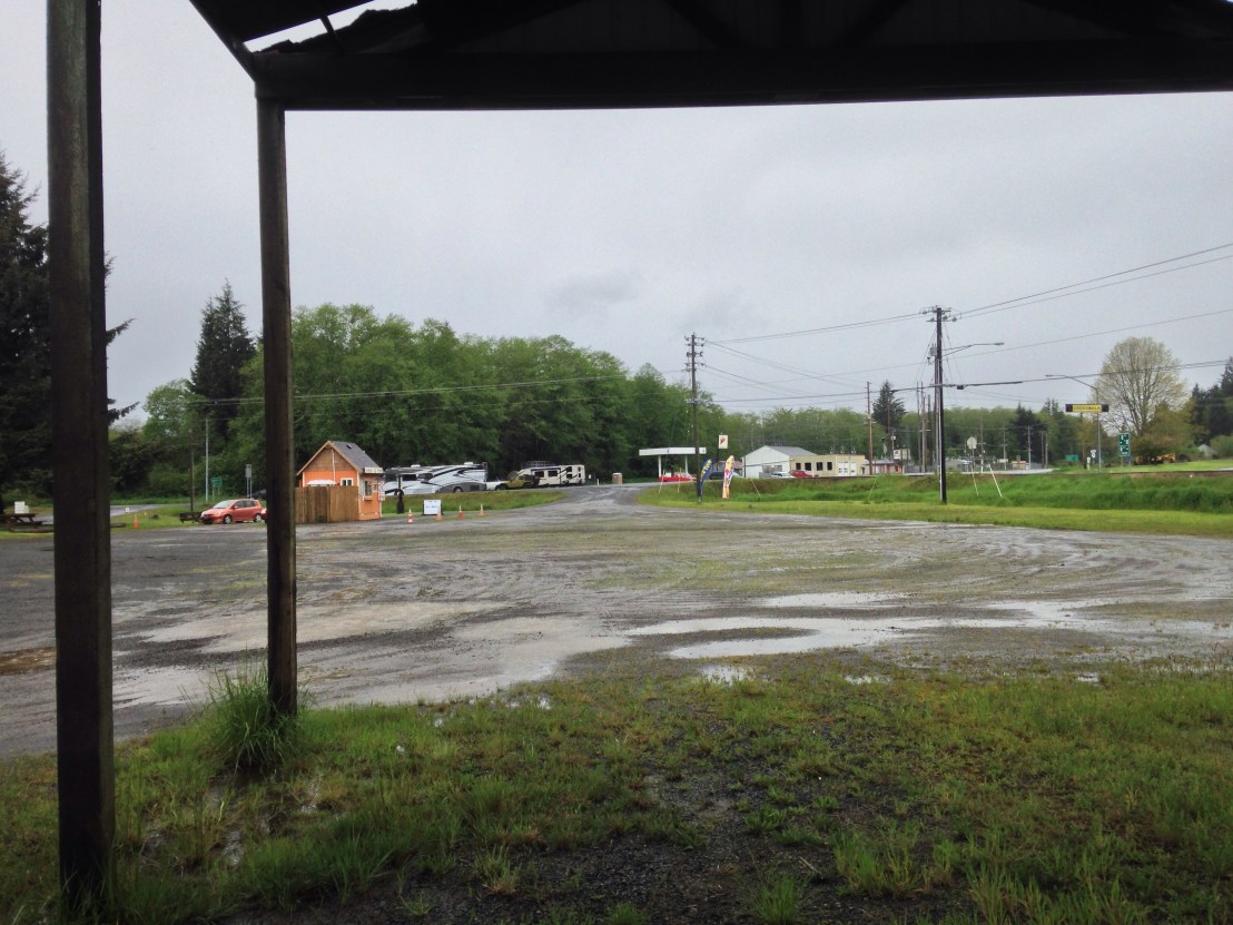
Day 14: Lookout Bay State Park – Beverly Beach State Park

Distance; 57.05 miles.
Time. 5:59.
Average Speed: 9.5

If I learn nothing else from my journey, at least I learned where Cape Foulweather got its name.

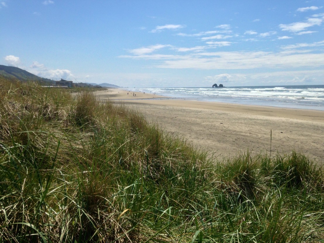
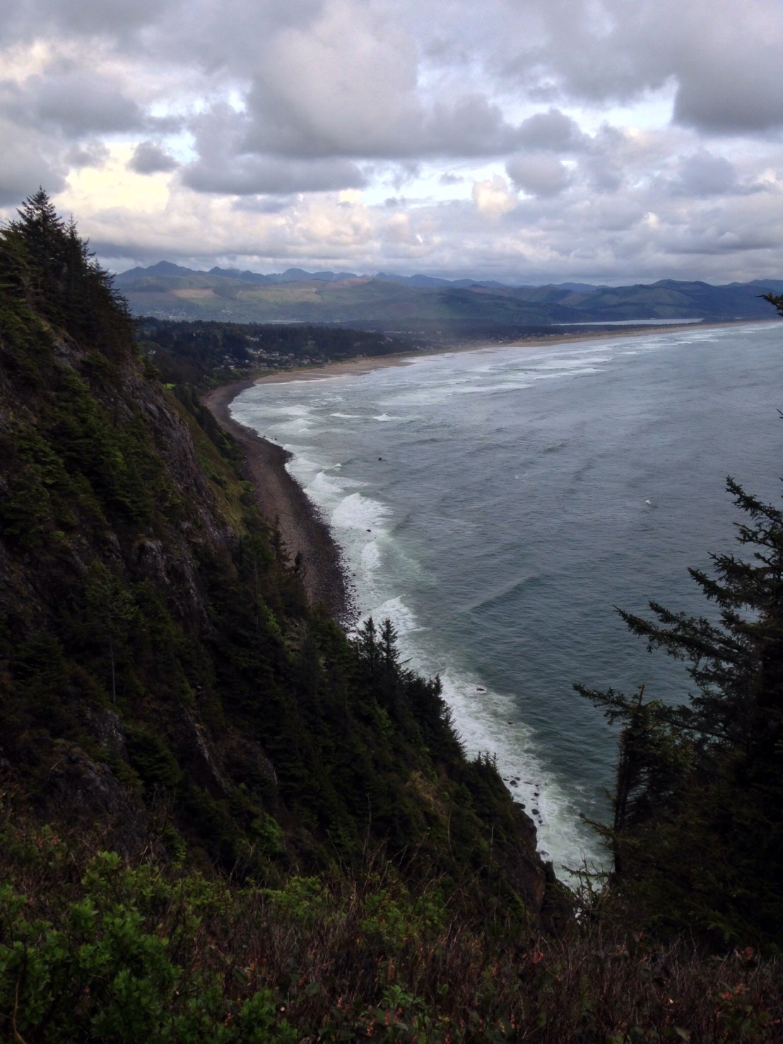
I was feeling quite tired this morning, perhaps apprehensive about a long day with 3 big climbs and a headwind. I left the campsite at half 10, immediately starting the biggest climb of the trip so far, Cape Lookout, a 3 mile climb up and over a 260 metre headland. At least the view was good – from a viewpoint halfway up, which, also doubled as a hang glider runway.

image

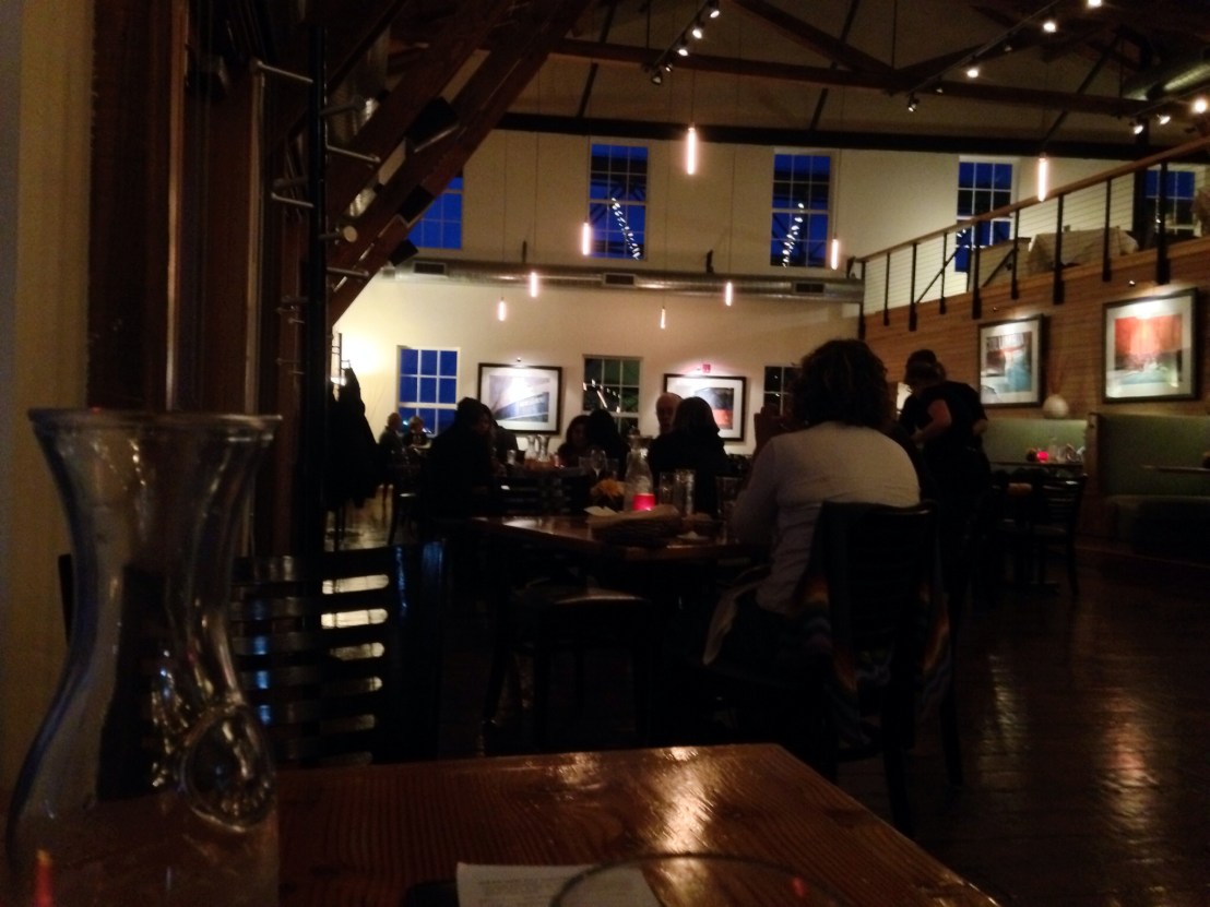
I arrived in Pacific City, 17 miles in, ready for lunch. I happened upon a Pelican Brewing Company gastropub right by the beach, having previously come across a branch in Tillamook – just after I’d eaten – so was keen to try it. My waiter, knowing a thirsty cyclist when he saw one, instinctively brought me a refill of Pepsi along with the first one. Then shortly after bringing my food, another turned up!

After lunch, I bumped into an English cyclist setting off on a trans-American journey. He had started in Astoria the day before, and was shortly about to head East, never having cycle-toured before and planning 100 miles a day!

I was soon in Neskowin and it was time for the second climb, the cycle route seemed to take the old highway but I thought it might be a shortcut if I stayed on route 101. It was, I saved about 6 miles, but it was a fearsomely severe incline which didn’t let up at all until it reached the top, around 250m ascent in 2 miles.

With the two biggest climbs out of the way and now over 30 miles done I felt like I was getting somewhere, and was thinking that the further of the two campsites I’d looked at, Beverly Beach, should be reachable. As soon as I thought that, I punctured. Typical.

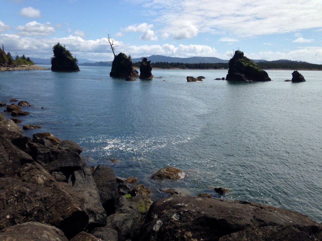
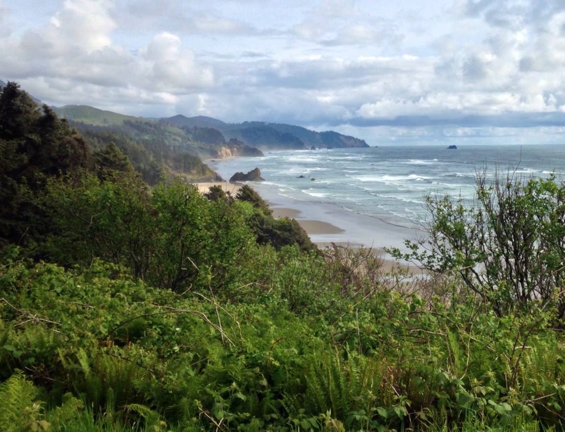
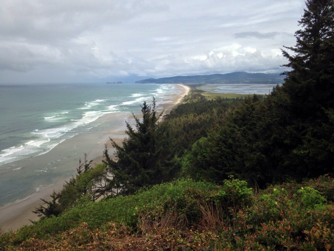
After Lincoln City, the weather started to take a turn for the worse, and after a fair day so far, the rain got heavier and heavier. And while it did, the scenery got better and better, I desperately wished I had more time to spend at Fogerty Beach, Boiler Bay and Depoe Bay.

image

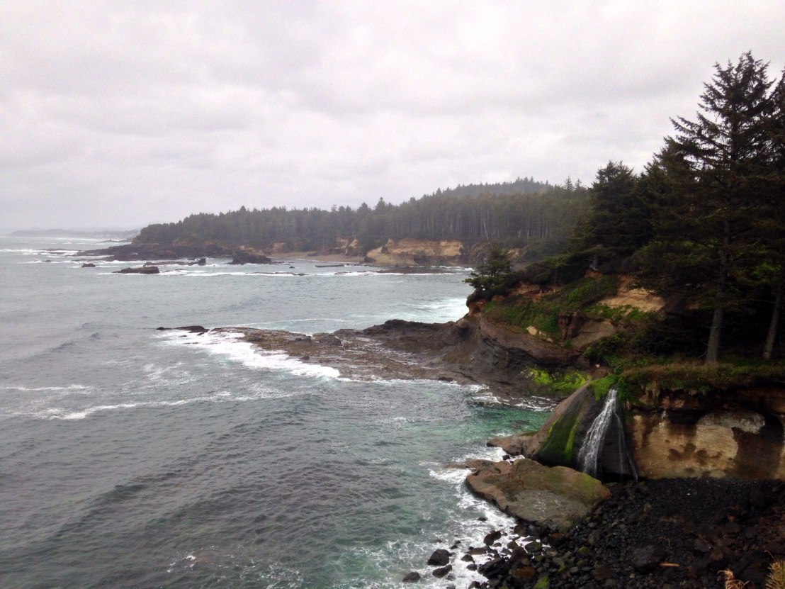
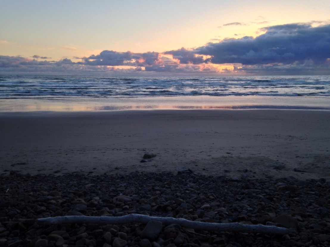
Still I plugged away, into the relentless rain. 7 o’clock now and quite gloomy, I still had one hurdle to overcome, Cape Foulweather. Another punishing climb, and this time in abysmal conditions, worse still, the descent, with the howling wind chilling my sodden clothes and trucks speeding past, covering me in spray.

The headwind almost blew me to a standstill but I finally reached Beverly Beach State Park, and tried to find somewhere my tent wouldn’t flood. A long hot shower later and some food in the tent, and still the storm rages on.

Day 13: Nehalem Beach – Lookout Bay

Day 13: Nehalem Beach State Park – Lookout Bay State Park

Distance: 39.59 miles.
Time: 3:59.
Average Speed: 9.9 mph.

After the day I had yesterday, you could be forgiven for thinking I’d want to get started earlier than my eventual quarter past 12, but, I’d decided that a little more care in my preparation would save me time on the road. While staying in more salubrious accommodation, over the last two nights, I’d been distracted by charging batteries, and washing clothes (in the bath, the laundromat was broken..) respectively. Today my focus was solely on bike wheels. I repaired two inner tubes and discarded a third with a faulty valve, I fixed my ailing bicycle pump, and pumped up my tyres until my arms could take no more. Next time I had a puncture in the rain, I’d be prepared.

I set off, planning on cycling a good distance before stopping again. Then, on reaching Nehalem, 3 miles in, I decided to stop for food. More food now meant longer before I had to stop again, I reasoned. For food, anyway. I stopped for beach views in Rockaway.

image

And some sea stacks.

image.jpg

And a thing.

image

Turning inland around Tillamook bay, I picked up the wind and the miles flew by. On reaching Tillamook, I headed for the supermarket, then picked up the road for Netarts. The Three Capes Scenic Route had been blocked by storms that had hit the Pacific Coast in February so I headed towards Netarts, but bypassed the town and continued along the undulating coastline to Cape Lookout State Park, situated on the edge of a beautiful spit of sand. Arriving at 6 pm, I was grateful for an evening off.

When I arrived, a German cycle tourist, Jan, was already set up. He was heading up the coast from Vancouver to San Francisco, and had just spent a few days in Portland with a sore knee, caused by the cycling. He’d been studying Maths for a year in Vancouver before starting the trip, and had walked the West Highland Way a few years before. Soon after, a New Zealander arrived, he started in San Francisco, continues on to Astoria before turning right and heading all the way to New York.

Sunset on the beach was an enjoyable way to finish a more relaxing day.

image

Day 12: Astoria – Nehalem Beach

Day 12: Astoria – Nehalem Beach State Park.

Distance: 44.04 miles.
Time: 5:18.
Average Speed: 8.3 mph.

Today had a relaxed beginning, a frantic ending, and some amazing scenery in the middle!

On paper, today seemed quite easy, and so it appeared when, 7 miles in, I shed my rain gear, basked in the warm sunshine, and pedalled along happily on the flat.

8 miles in, my front tyre went flat and a torrential downpour arrived to accompany the puncture repair. There really should be a saying for that. I’d been expecting a front tyre puncture, as the tyre I bought in Orcas Island had a large gouge out of it, despite its alleged high level of puncture protection.

Luckily, Seaside at 17 miles had a bike shop so I could stock up on new inner tubes. Afterwards I headed to the ‘Crabby Oyster’ for lunch, my ‘Oyster Shooter’ wasn’t very Crabby but it was enormous.

Having spent too long in Seaside, it was time to get back on the road. I arrived in Cannon Beach and was delighted to find a bakery and ice cream parlour next door to each other, so I visited both. I was busy thinking what a nice place Cannon Beach was, and then I visited the beach…

image.jpg

The views just kept rolling after that and it was difficult not to keep stopping.

image

image.jpg

The last 8 miles included two climbs. The first one, through Oswald West State Park, started with a long uphill tunnel, with flashing lights for cyclists to operate before travelling through. Then, just before I was about to start the second climb, up Neahkahnie Mountain, my rear tyre went soft, and it started to pour down as I pumped it up.

Continuing up the road, I came out at the Neahkahnie Mountain viewpoint and was staggered by the view south over Nehalem Beach, and spent a while taking pictures, before descending down the other side.

image

It was now 8 o’clock so I dashed into the shop at Manzanita to pick up a few things for dinner. Leaving the shop it was lashing down, but I set off down the hill. To my dismay my back tyre went completely flat, it was a mile to the campsite but I’d need to change the inner tube. The combination of the weather and the sizeable load over the back wheel, was clearly taking its toll on the bike.

Arriving at the campsite at half 8, I was thankful the hiker / biker area was near the entrance. I set up camp and boiled some water for a coffee. In the meantime, I had a chocolate milkshake I’d picked up at the shop. It tasted amazing, a sugar rush I needed. It had been just another one of those days.

Day 11: Bay Center – Astoria

Day 11: Bay Center – Astoria (OR)

Distance: 37.40 miles.
Time: 3:40.
Average Speed: 10.2 mph.

Rain was forecast for the day, so I planned to eschew unnecessary scenic diversions and make straight for Astoria, in my next county, Oregon. Before I left the campsite, I was warned not to try and cycle across the Astoria bridge – by a couple whose daughter and son-in-law had cycled the coast themselves – recommending putting the bike in the back of a truck. As I pedalled away, the man kindly offered me a lift to Astoria as they were heading that direction, I politely declined. 5 minutes later, as they passed me battling with my waterproofs during the first of many heavy showers, they repeated the offer. It was tempting.

The rain soon cleared, but a dark sky loomed ominously all day, waiting to strike. By 12 miles I was drenched. At 20 miles, it was dry again when I stopped at a drive-thru coffee kiosk, but the rain had started again by the time I received my order and it wouldn’t stop again for the rest of the day.

image.jpg

I could barely see the Columbia river when I reached it, and the other end of the Astoria-Megler bridge disappeared into the mist. Setting off across the bridge, I heeded the advice of the guide book, not to stop until the other side. Easier said than done when it’s 4 miles long, into a fierce headwind, with a foot and a half shoulder and trucks thundering past. I checked into Motel 6 right beside the bridge utterly drenched.

image

After drying off, I enjoyed dinner in the beautiful environs of the Bridgewater Bistro, serenaded by a virtuosic fingerstyle jazz guitarist.

image

That’s the British Columbia and Washington State sections of my route concluded, covering 531 miles in 11 days, and now I set off down the Oregon Coast!