Category: Uncategorized

Day 10: Twin Harbors – Bay Center

Day 10: Twin Harbors State Park – Bay Center (KOA)

Distance: 51.42 miles
Time: 4:57.
Average Speed: 10.4 mph.

I was soaked by the time I got back to the tent last night, so I jumped in and zipped up the door, the rain keeping me there until morning. Finally, at half 8, it let up just long enough for me to make a dash for the showers. By the time I returned it had started again so I had to pack up in the rain. It was almost a relief to escape the sodden quagmire of the campsite and hit the open road.

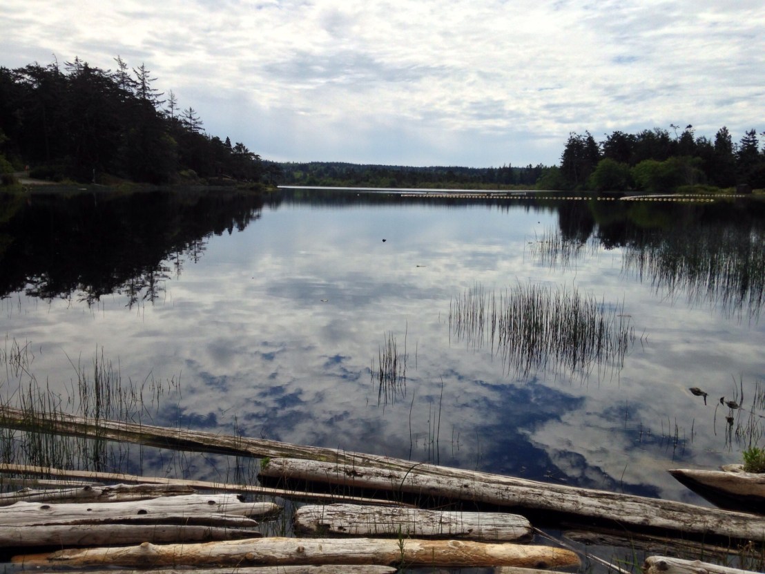
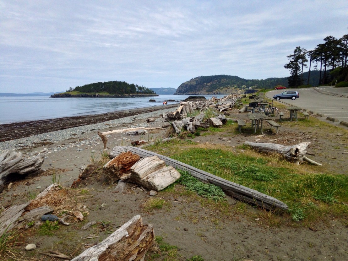
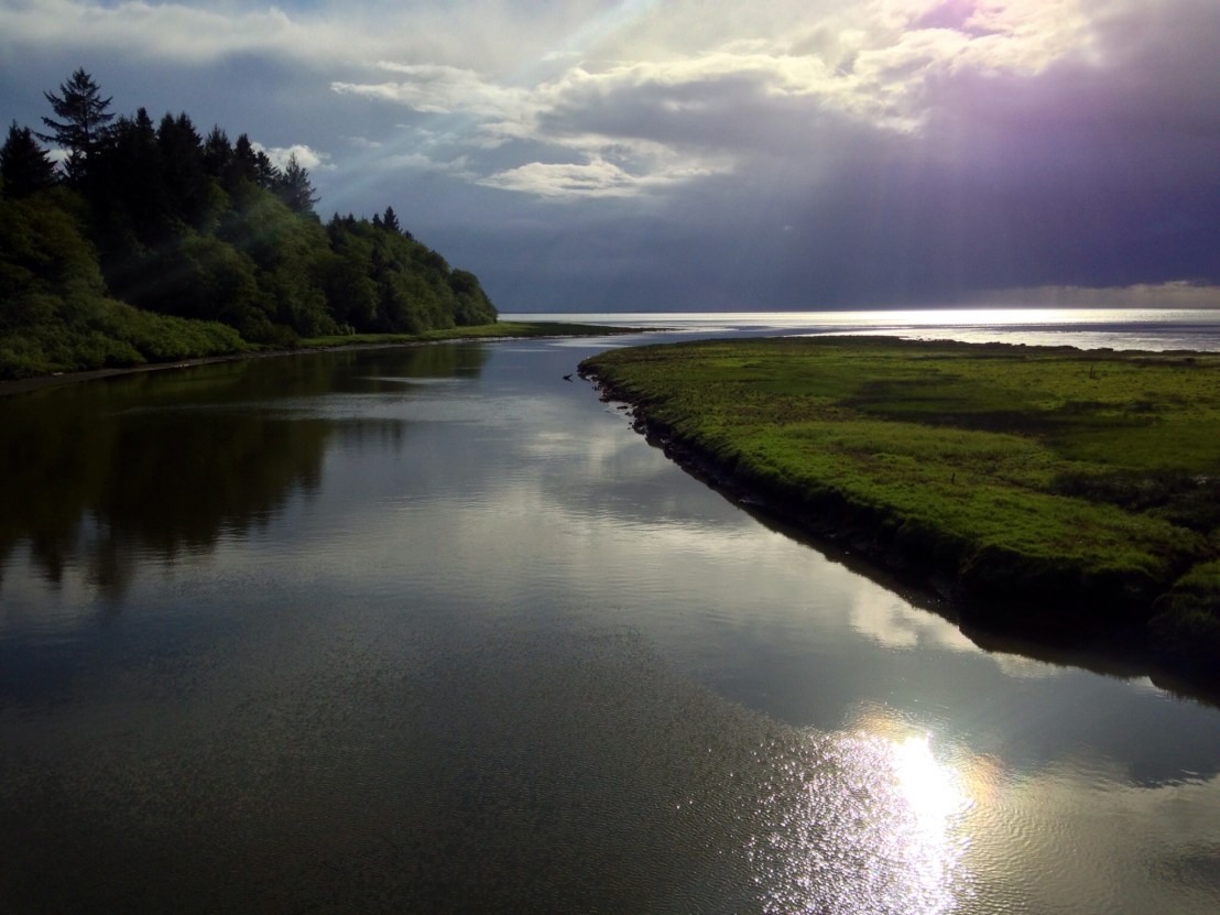
Within a few miles, the rain had stopped completely, and as I sat savouring the Pacific views, the sun broke through the clouds.

image

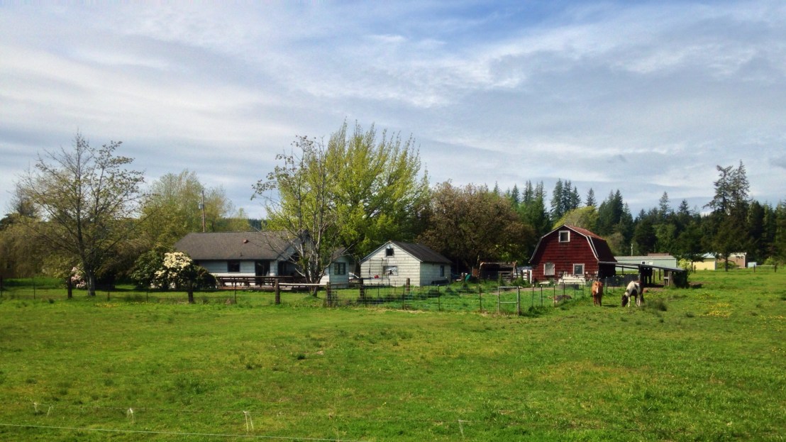
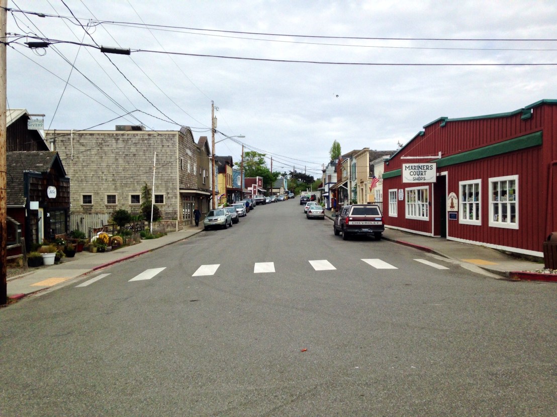
For an hour or two, I was pedalling around Willapa Bay, on deserted roads in the sunshine. But then, 30 miles in, as I approached Raymond, the storm clouds moved in from the south and the rain started lashing down, I made a dash for the Pitchwood Alehouse, it was time for lunch.

image

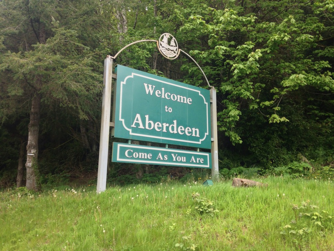
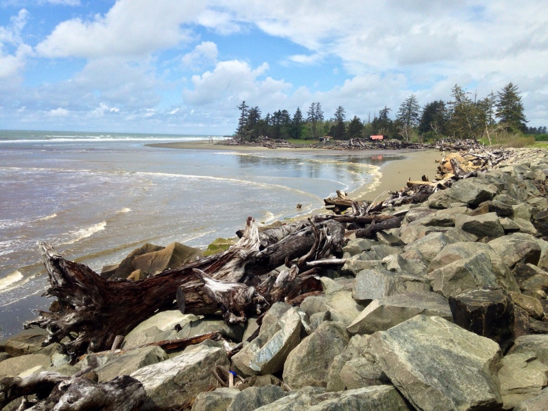
After lunch, there were a few miles of bike track around to South Bend, but then, as I was passing through town, the skies seemed to darken up ahead. I was fishing for my waterproofs when a barrage of gigantic hailstones started their attack, causing me to jump for cover. I ploughed on into the rain, this was ridiculous. Then as I rounded the corner of the bay, back to the Pacific, the rain stopped, just as quickly as it began, the sun shining through the trees.

image.jpg

Arriving at the KOA campsite at Bay Center I jumped at the chance of a cabin for the night. I know the rain will be back soon and I don’t fancy being stuck out in it!

Day 9: Potlach State Park – Twin Harbors State Park

Day 9: Potlach State Park – Twin Harbors State Park

Distance: 80.09 miles.
Time: 7:13.
Average Speed 11.1 mph.

I was expecting a big day, so left the campsite at half 8, reaching Shelton, an hour – and 10 miles – later. I stopped at the local Walmart to stock up on provisions and got talking to the teller, who said she was also from Europe:
‘Ooh, I was born in France’. That’s nice, have you been back recently, I asked, innocently. ‘Yes, it was horrible!’ How so, I enquired. ‘You know that Algeria used to be a colony, and now they’ve just let them all in!’ I left before she played the Trump card.

Back on the road, I started to head west towards the Pacific Coast, but as soon as I turned onto highway 108, I ploughed straight into a headwind. My nemesis for the next 65 miles. Not that I thought I’d get that far when the wheel trim came flying off an overtaking van, it missed fortunately.

I continued west along Freeway 12 between McCleary and Elma, where the thundering trucks holding lane position had me scurrying to the far side of the shoulder, weaving in and out of stones and shrapnel, a few wayward stones sent pinging across the carriageway.

Continuing on a back road, through pleasant farmland to Montesaro, I stopped for Clam Chowder and a tasty Chicken Alfredo Sandwich at Gepetto’s.

image.jpg

10 miles later, at 60 miles for the day, I reached Aberdeen, birthplace of Kurt Cobain.

image.jpg

The last stretch was endless. On long straight roads, into the wind, I was counting down the miles. Finally reaching 80 miles for the day, a cycle-touring high mark for me.

I quickly pitched the tent, then rushed off to the beach, having finally reached the Pacific, 9 days in. I was given 10 minutes grace before the rain started, and if the forecast is correct, it might not stop for a while.

image.jpg

Day 8: Old Fort Townsend – Potlach State Park

Day 8: Old Fort Townsend State Park – Potlach State Park.

Distance: 63.02 miles
Time: 5:40
Average Speed: 11.1 mph

I slept late, and didn’t set off until half 10, but I was feeling fresh and determined to get through the miles. 10 miles, and a significant climb later, I stopped for brunch at ‘Fat Smitty’s’ – a proper American Roadhouse whose reputation allegedly runs far and wide for the size of their ‘Fat Smitty’ burger. I was challenged to try and finish it by the locals. Easy. Though I didn’t need to eat again until dinner time.

image.jpg

After a 12 mile flat stretch north of Quilcene, highway 101 scaled the flanks of Mount Walker, a 3 mile climb, and the climbing didn’t stop: the road went up and down all the way along the side of the Hood Canal, until just north of Hoodsport 40 miles later. It was a perfect day for powering through the miles, however, as the weather was glorious, and the scenery was enjoyable without being outstanding enough to warrant stopping often for photos: there were occasional fleeting glimpses of the Olympic mountains through the trees.

image.jpg

image.jpg

image.jpg

Arriving at Hoodsport at 6pm, after a 60 mile day, I was tired and sore, and highly relieved to get another big day out of the way. I treated myself to a well earned beer in ‘Model T’s bar and grill’ while being treated to an in depth breakdown of the family lineage of the other pub clientele.

Afterwards I rolled the final few miles to Potlach State Park arriving relatively early, at half 7. Another big day planned tomorrow, but if all goes well I should make it to the Pacific Coast at last!

Day 7: Deception Pass – Old Fort Townsend

Day 7: Deception Pass State Park to Old Fort Townsend State Park

Distance: 32 miles.
Time: 3:09.
Average Speed: 11.8.

image

I took it easy today, until the point at which I had to get a move on. I spent the morning re-packing my bags and ensuring the bike was running ok, before pedalling along to the end of the road. There was a nice beach with fantastic views west towards the Olympic mountains – and north – back towards Deception Pass. It felt like such a rarity to get the chance to take in some of the beautiful landscapes that I’d been passing through.

image.jpg

Finally, setting off an hour after the campsite checkout time of 1 o’clock, I blazed along the highway. Whidbey Island had a privileged position, sandwiched between the outer reaches of the US mainland, with the Cascade mountains in the east and the Olympic mountains in the west.

My first port of call was the dreary urban sprawl of Oak Harbour, a long chain of fast food stores and supermarkets. The Burger King was passable, however, and T-mobile did furnish me with a shiny new SIM card.

Back on the road, I skirted the edge of a sea inlet on Madrona Way, soon to reach the quaint historic town of Coupeville, where a local mountain biker stopped by to pass on route knowledge and mention his own long-distance cycling exploits.

image

A short sprint later and I had made my last ferry crossing for a while, the 6 o’clock sailing between Fort Casey and Port Townsend. Another cyclist recommended a pizza place in town, I headed along to find it closed for cleaning, so opted for somewhere else.

It was now half 7, and I had 5 miles to go before reaching camp, at Old Fort Townsend State Park, so, I climbed out of town before – almost inevitably – flying off down a side-road to the campground.

After setting up camp I had time for a walk before nightfall. Returning to camp, I heard ‘Michael is that you’ from a late arrival at the site. It was Tim from New Mexico who I’d met on the ferry from Orcas Island yesterday. He should have been here last night?

It turned out that 5 minutes after I had seen him last, his rear-derailleur had disintegrated, forcing him to go miles off route to find the only bike shop in the vicinity that was open on a Sunday (other than the one I had visited in Orcas Island). So when I was at Deception Pass yesterday, thinking he was miles ahead, he was actually 20 miles back in a completely different direction! He’d done well to make up the distance.