Distance: 67.30 miles
Time: 5:48:24
Average Speed: 11.6 mph
Elevation Gain: 5,538 feet
Overall Distance: 501 miles
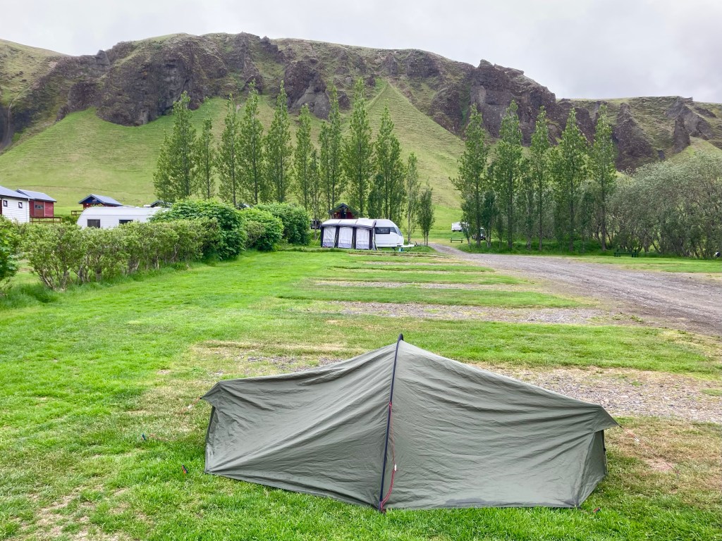
Admittedly, yesterday had been pretty grim, but, in cycle-touring, the only certainty is change, and now that the temporary suffering was over, the positives were clear. After 7 days on the road, I was exactly where I had hoped to be, very positive. No injuries or niggles to report. The bike was riding well, with no real mechanical issues. I’d been able to take a shower this morning and all of my cycling kit was now dry. It was a beautiful day and Djupivogur was a lovely spot.
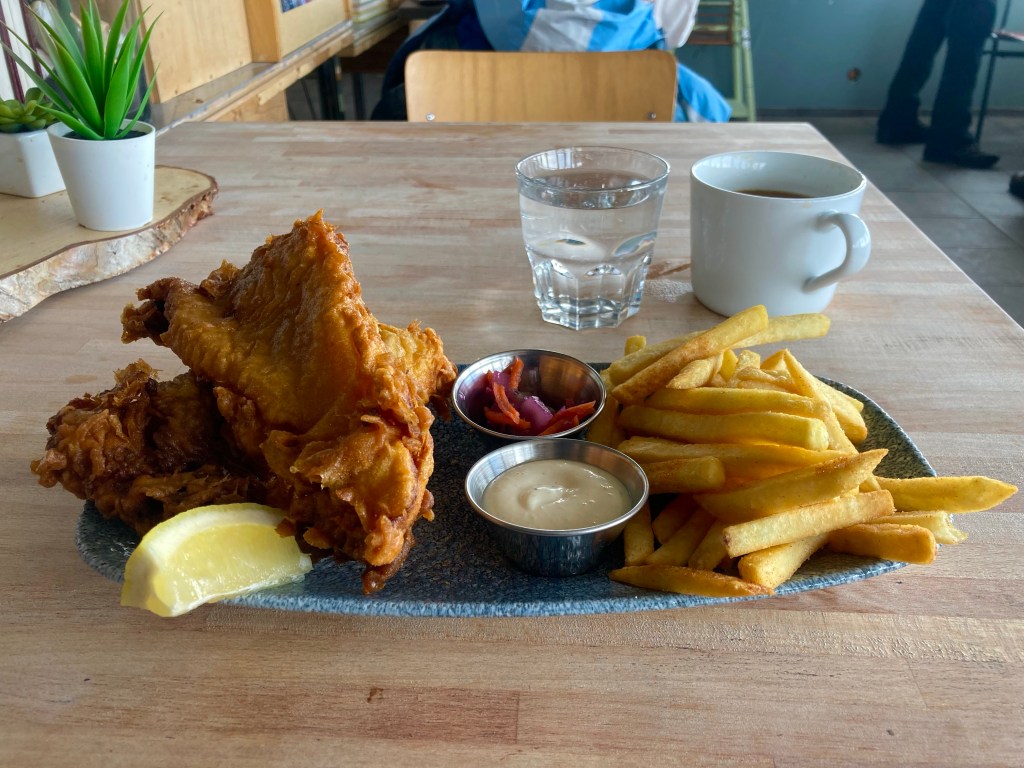
After Ken sorted an issue with his front pannier rack mount, I headed off, planning to visit the supermarket then get on the road. But, on reaching the harbour at the bottom of the hill I was drawn in by the strong fish and chip shop smell of the cafe across the road. Just when I was finishing my lunch, Ken showed up too – cycle-tourists are a predictable bunch – even those carrying 10 kilos of food on their bikes.
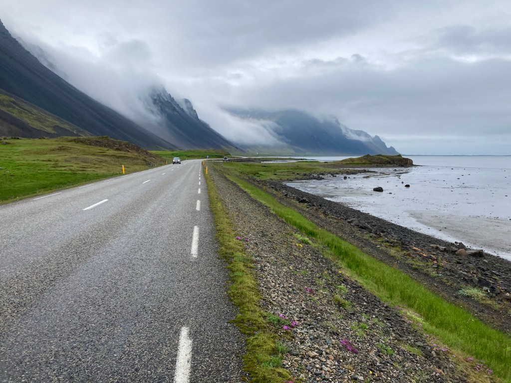
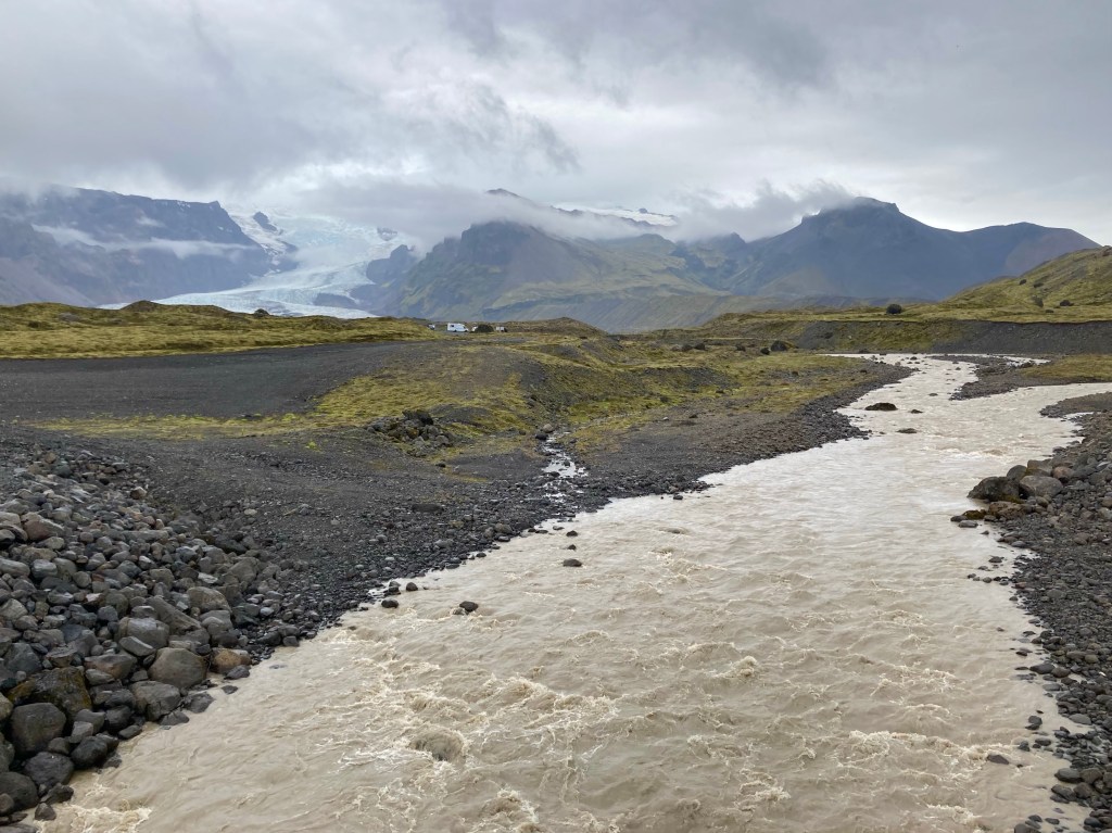
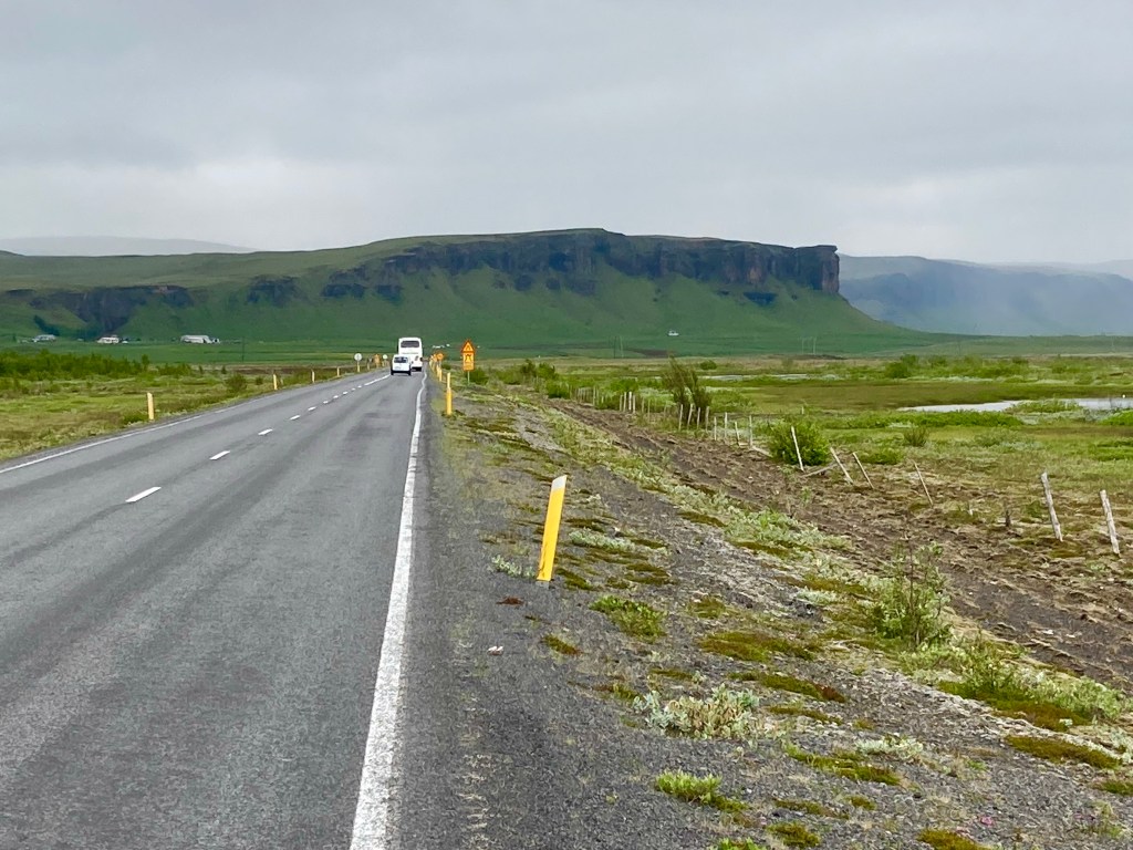
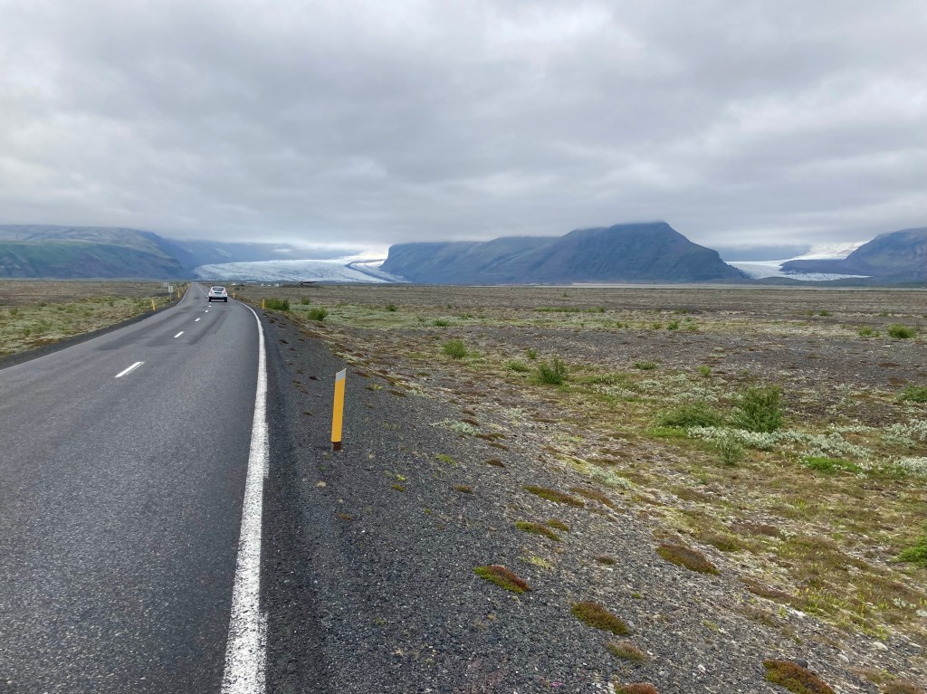
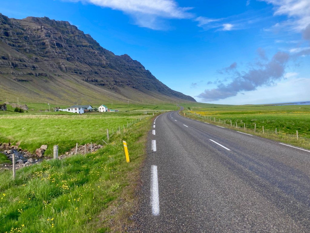
Heading back out of the village, the road undulated along the side of a pretty fjord, Berufjordur, the first of several of the route and by far the longest. It was 25 miles before I was level with Djupivogur again but on the other side.


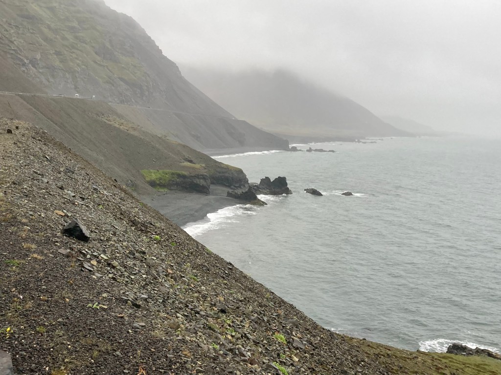
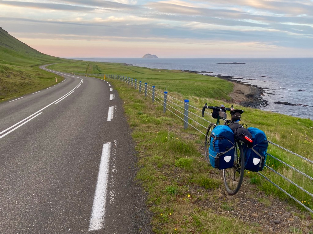
On leaving the fjord, I was now skirting the North Atlantic coastline, altogether wilder and more exposed. The birds seemed agitated all along this stretch, and I felt like I was living out an Alfred Hitchcock film, as I tried to decide just what their bird calls meant. Then there was the ominous click and squawk combination that I’d grown accustomed to. This time I didn’t have to look above me to see the Tern divebombing at my head, with the sun behind me I could see it happening in silhouette.

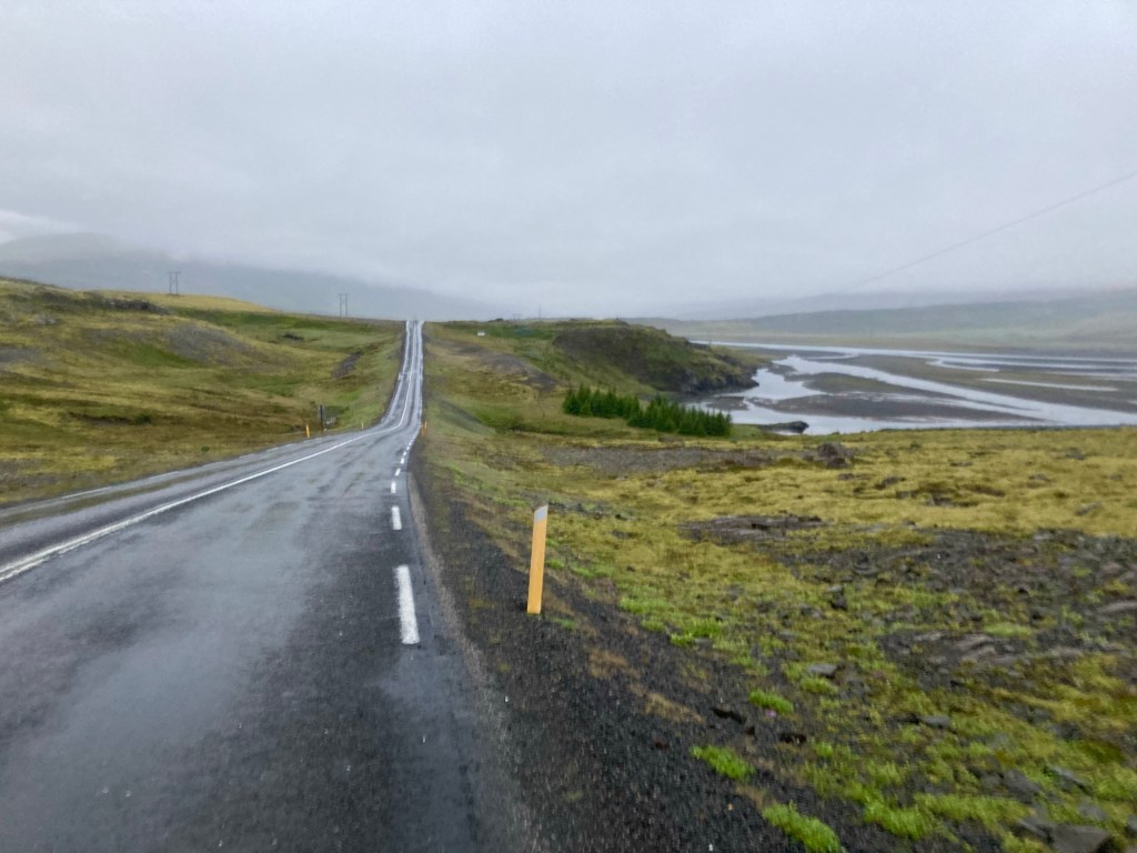
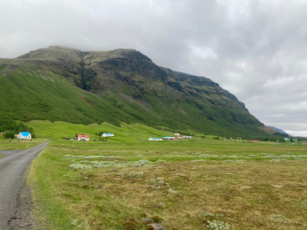
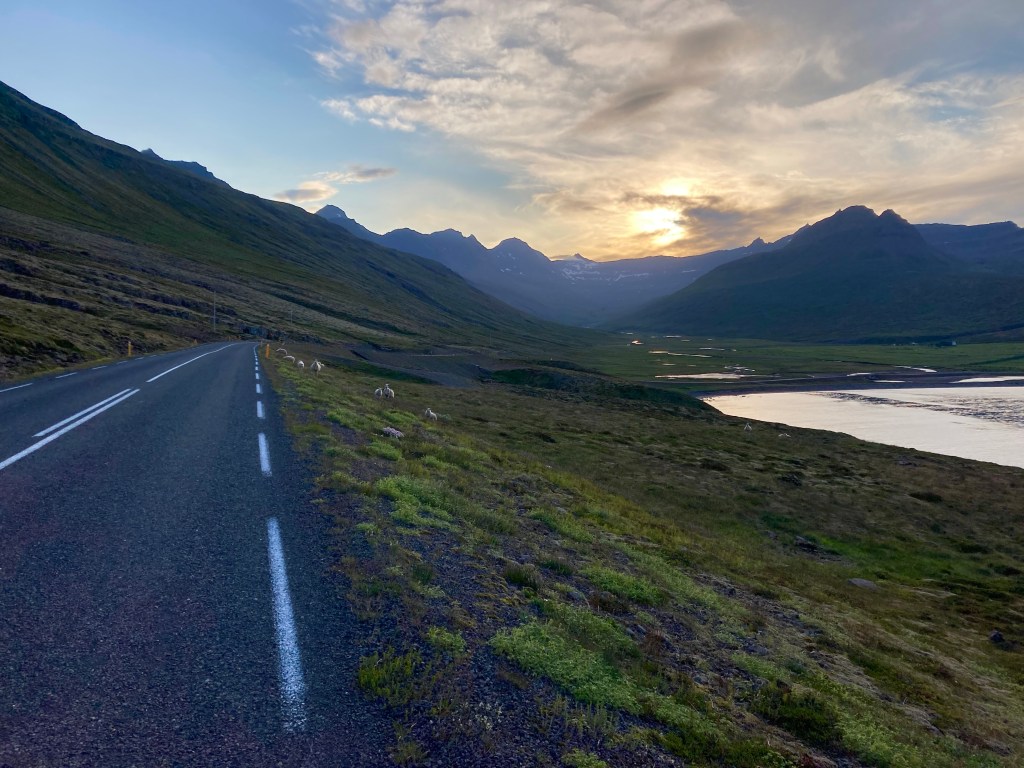
I turned into the next, smaller fjord, and was keen to reach the small town of Breiddalsvik, it was now 8 o’clock and I hoped to get something to eat. But, the attractive fishing village felt more like a model village for bus tours and nothing was open.
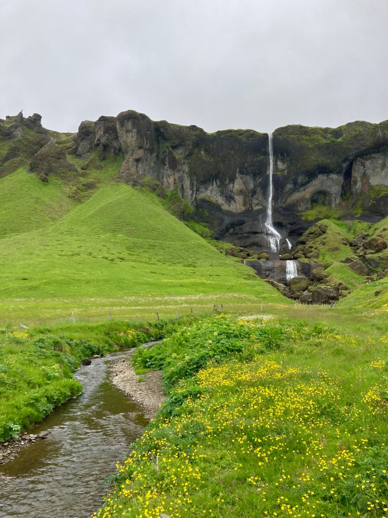
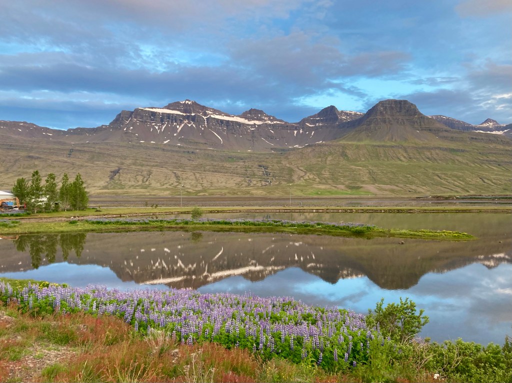
Some bread and peanut butter later, I made my way around the coast to my next fjord. Remote but beautiful, the Glen Torridon-esque hills towered over me on all sides as I thundered down the 12 percent hill to the head of the fjord.
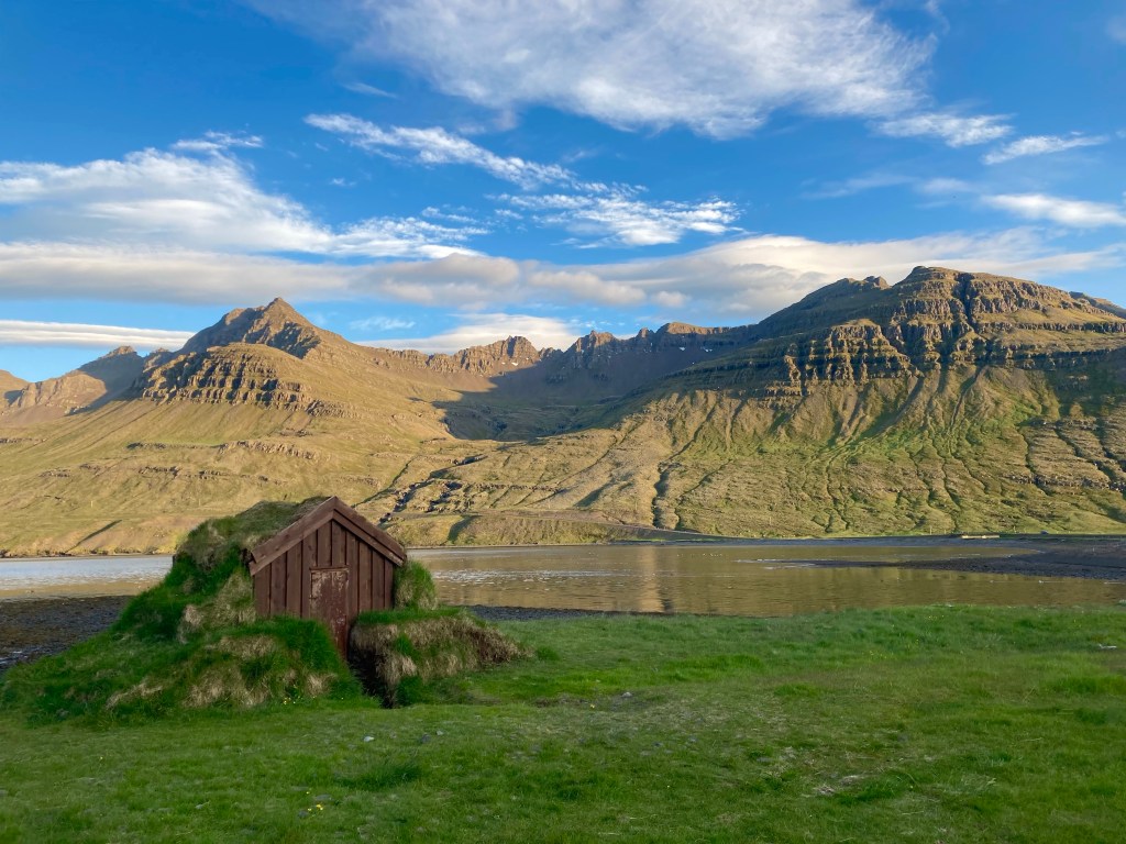
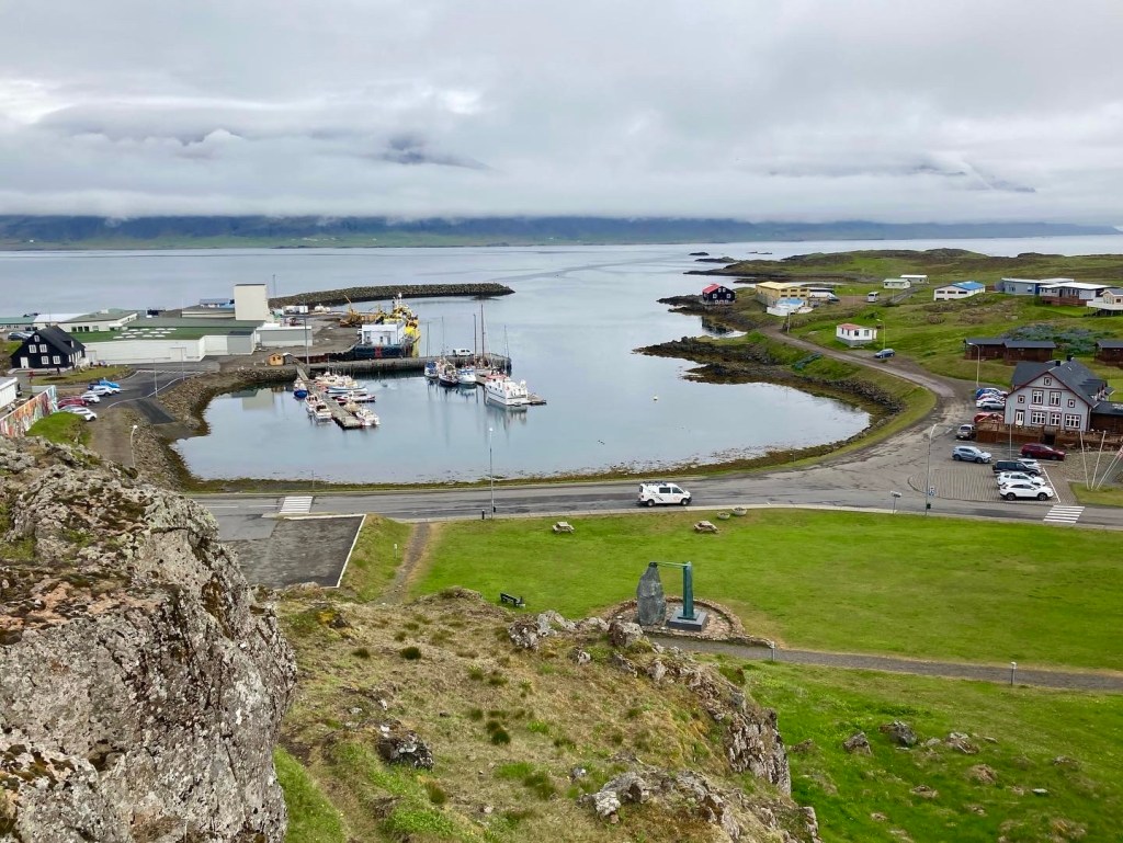
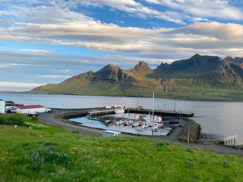
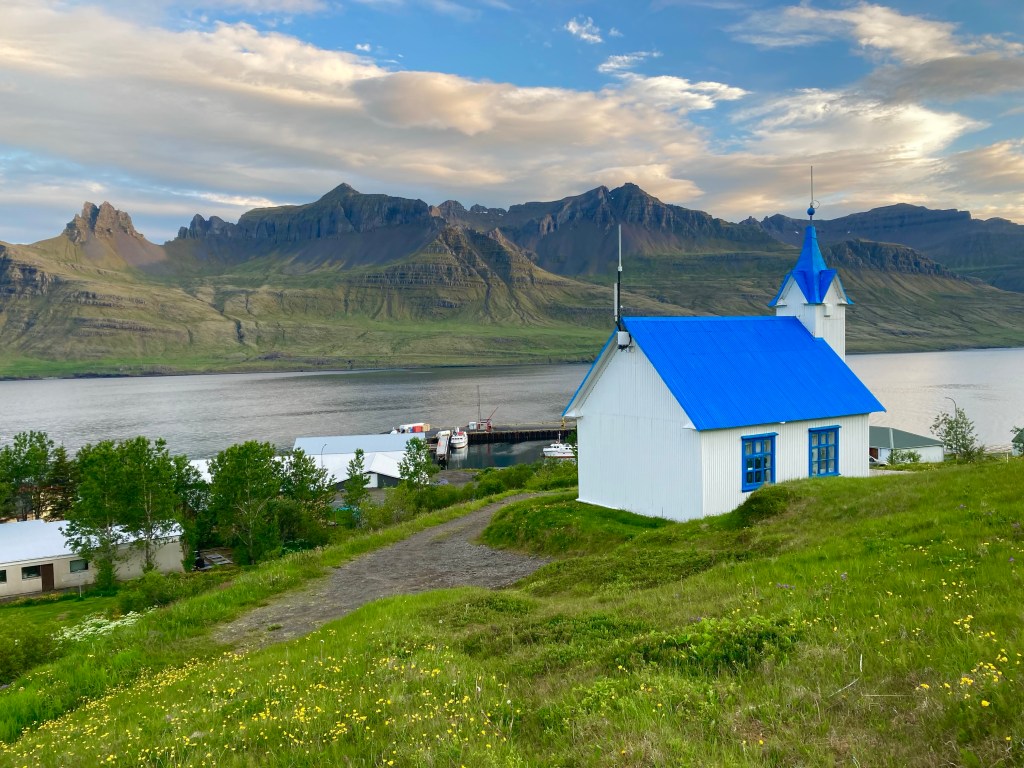
Soon I arrived at the pretty harbour town of Stodvarfjordur, the harbour and corrugated metal church looking resplendent in the evening light.
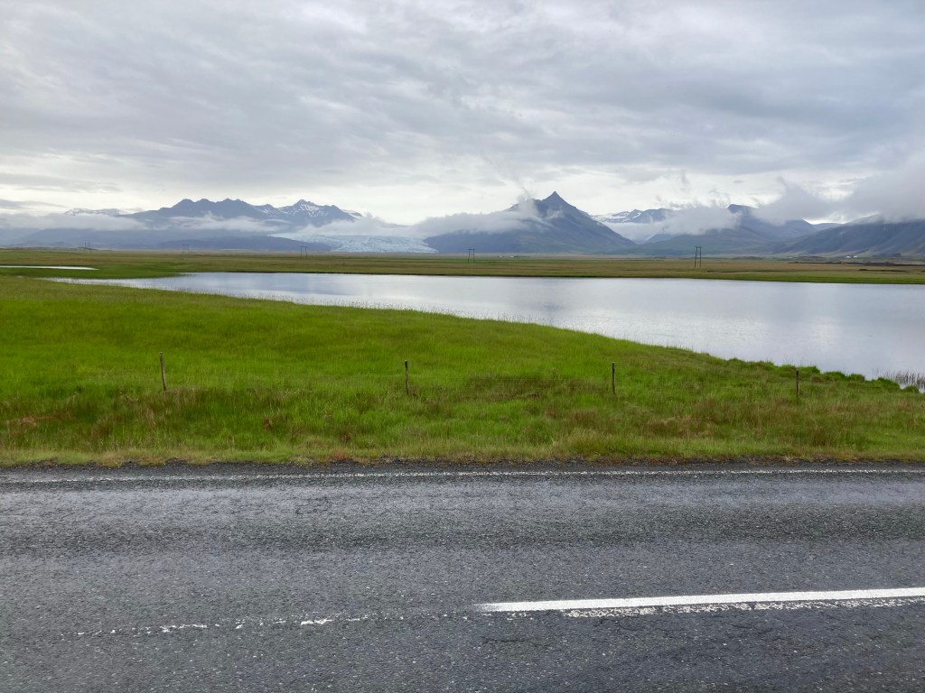
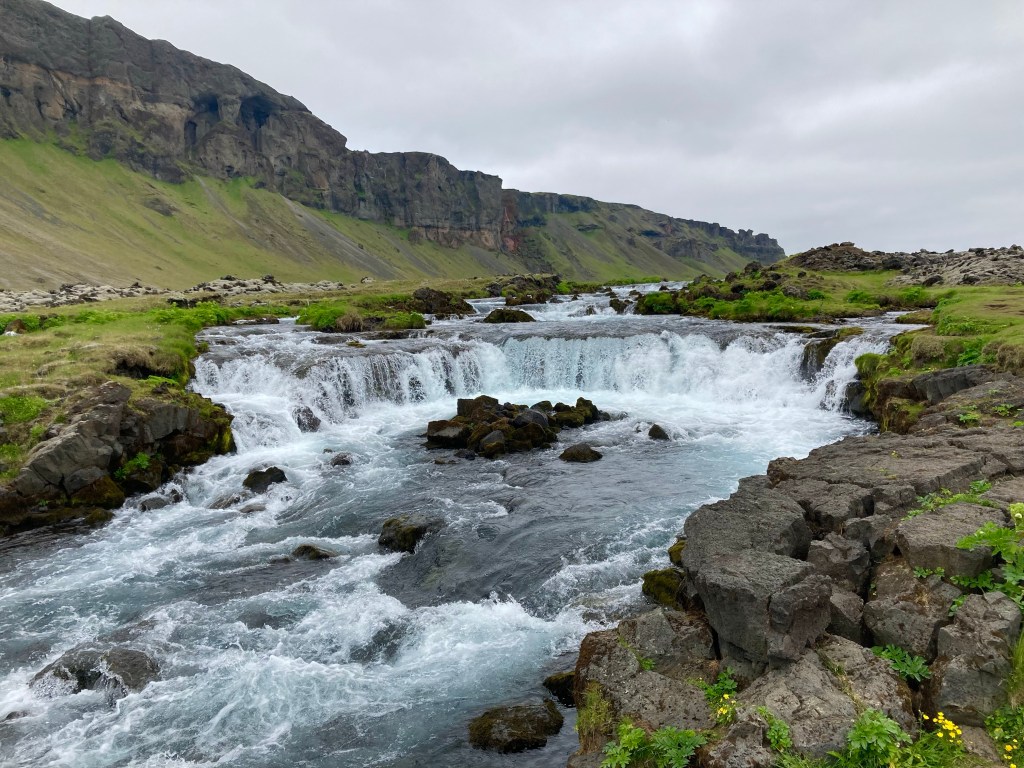
As the sun went down, another picturesque stretch along the Atlantic followed, before, ultimately, I reached the last fjord, Faskrudsfjordur, and after some challenging climbs along its steep flanks, I arrived at the Faskrudsfjordur campsite, with simple portacabin toilets, and beautiful views, even at half past 11 at night.
Well, after yesterday, today had certainly been a change…