Distance: 48.08 miles
Time: 4:27:06
Average Speed: 10.8 mph
Elevation Gain: 1,301
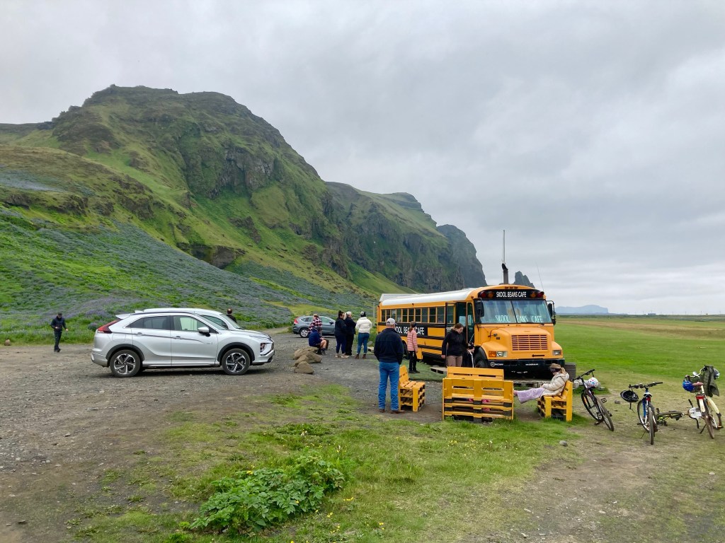
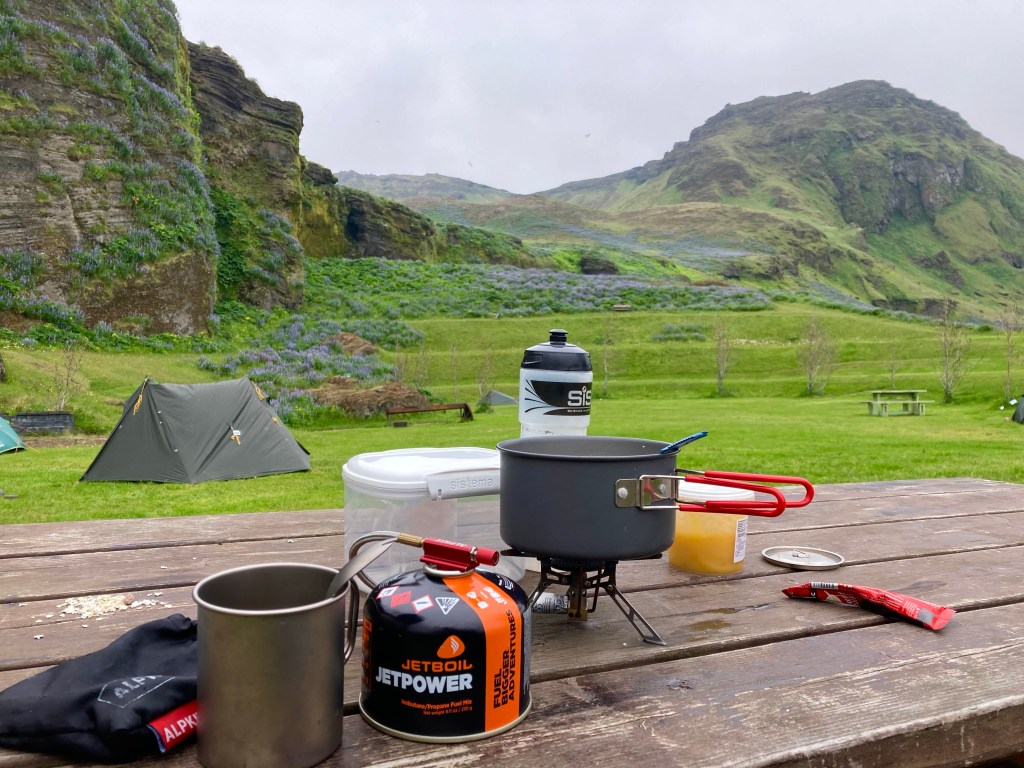
As I went for my shower at 10 o’clock this morning, I noted the fact that it hadn’t been any darker when I’d cooked my dinner at midnight the night before. It was a fairly grey day. Following the shower, I spotted a pop-up cafe in an old school bus just beside the site, so went to check it out. Their sole food provision consisted of bagels, so one peanut butter and Nutella bagel it was, and a latte, then I headed back to the tent for some porridge.
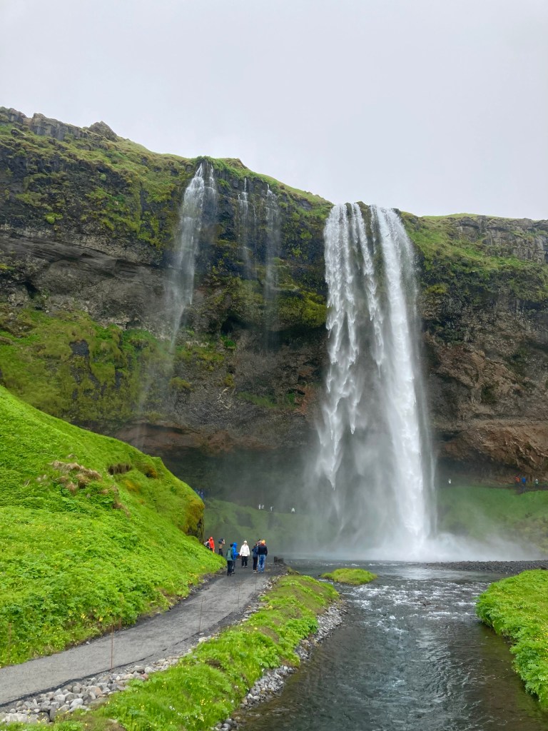
Vik had seemed like a nice little town when I’d swept down into it the night before, so I decided to have a look around before moving on. I struggled up the hill to the quaint church, a great viewpoint for the area, before heading down to Reynisfjara black sand beach, where a group were horse riding across the sand. The horses they were riding were Icelandic horses, apparently the purest breed in the world as they were brought by the Vikings in the 9th century, and no other horses have been imported since.


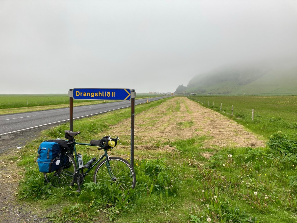
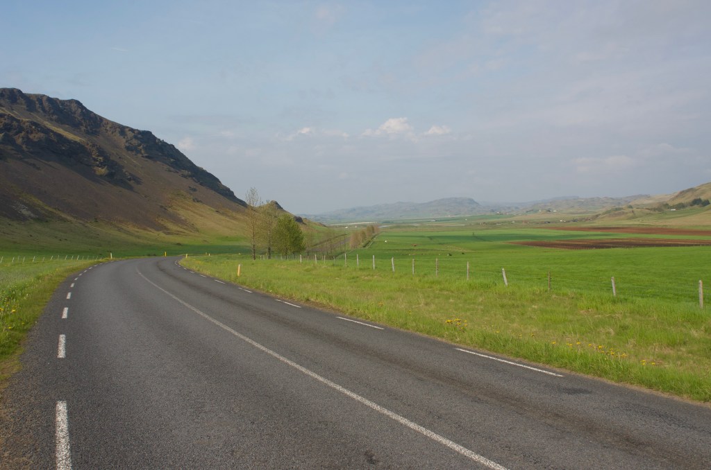
After a third breakfast – of a giant pastry from the shop – I finally felt ready for today’s proceedings, it was 4 pm. Nothing else for it, it’d be a late one again. As I pedalled off, I lamented the lateness of the hour, but at least I wasn’t the only one travelling around late in the day. At half past 7 the previous evening – at the Skogafoss Hotel – I’d overheard an American couple discussing how far they still had to drive to make their accommodation for the night; 3 and a half hours… It felt like a lot of the other road users were also struggling to keep up with hire car itinerary mileages of up to 300 km a day. Now that sounded like a feat of endurance!

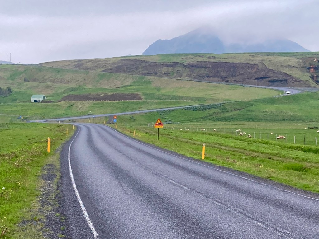
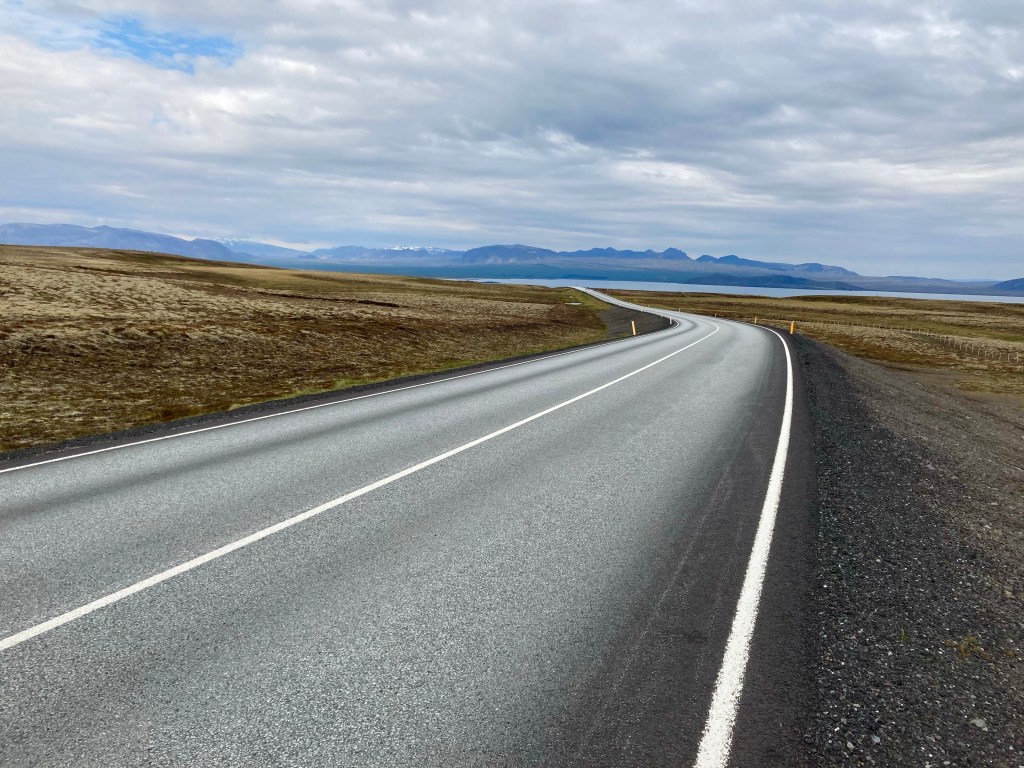
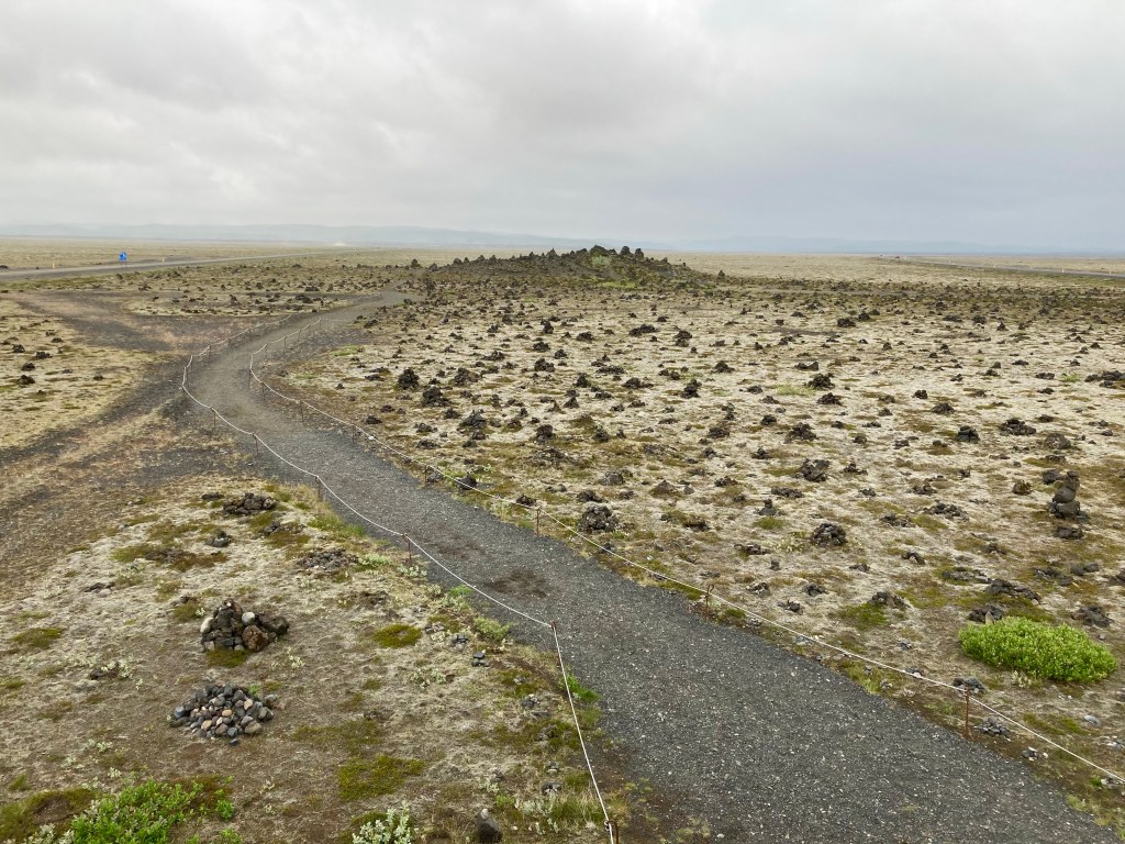
I knew that there wouldn’t be much in the way of facilities for the next 45 miles, but there wasn’t much of anything else either. It was 45 miles of long straight roads across different textures of lava fields. After 16 miles I was excited because someone had been generous enough to put in a picnic bench sheltered by some bushes, and after 27 miles I was even more excited that they’d provided a toilet facility in the middle of a volcanic desert.


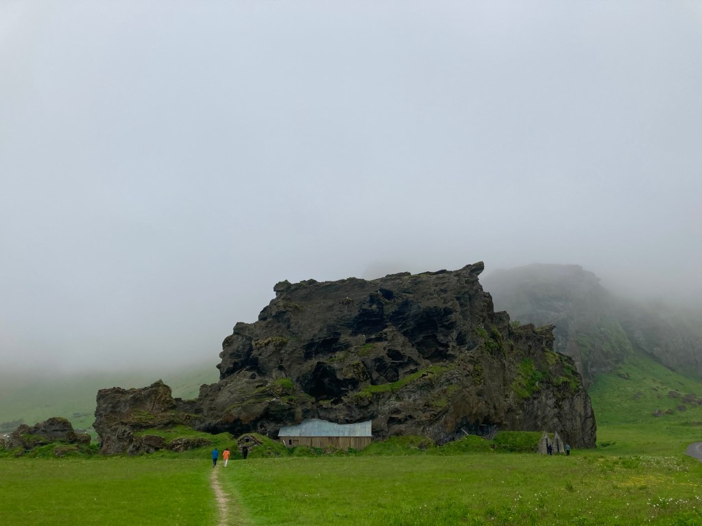
As I pushed on for the last 15 miles, it started to drizzle, and a bleak day became yet more bleak. Arriving in the pleasant little hamlet of Kirkjubaejarklaustur, at half past 9 in the evening, I concluded that much as the map suggested, it really was two nice little places with nothing much inbetween. But, I’m fast approaching the Eastern fjordlands so the road may not stay flat for long…