It’s fair to say I’ve been burning the candle at both ends for the last few days, and possibly a bit in the middle as well. Having decided that I would take my old bike to Iceland, I remembered that I hadn’t been near it for almost a year and that its state of repair was probably questionable. No problem I thought, I’ll just strip it down, replace some parts, give it all a clean and build it back up. It all came apart easily enough, I’ll leave it at that.
Finally, at half past midnight on the penultimate night before my trip, I had what you might call a serviceable bike. All I had to do now was attach the pannier rack, hunt down and check over everything I wanted to take, then dismantle it all and fit it in a box. But I had work all day… It was 2 am I got to sleep before a 07:15 flight. I wasn’t going to start this trip well rested, but I hoped I was well prepared.
Arriving at Keflavik Airport, a pair of shuttle buses whisked me the 45 km to Reykjavik Campsite where I quickly built up the bike and set up camp. Dispensing of my bike box in the campsite’s long term storage room, I set off to do some shopping for essentials, like a gas cartridge – and after having tried to inflate my bike tyres – a new pump.
Luckily, I came across Iceland’s answer to Tiso’s and found these items and more. And, unlike in Tiso’s where I balk at the prices and walk out, here I didn’t know what the prices were, so I just paid them. It only cost me 11,000 Icelandic Krone. Bargain!
Shopping done, and tyres pumped up, I cycled into town to see the one tourist attraction in Reykjavik I knew of, Hallgrimskirkja Cathedral. It had the double appeal of being a stunning building, and also containing a bell tower from which you could get great views of the city.
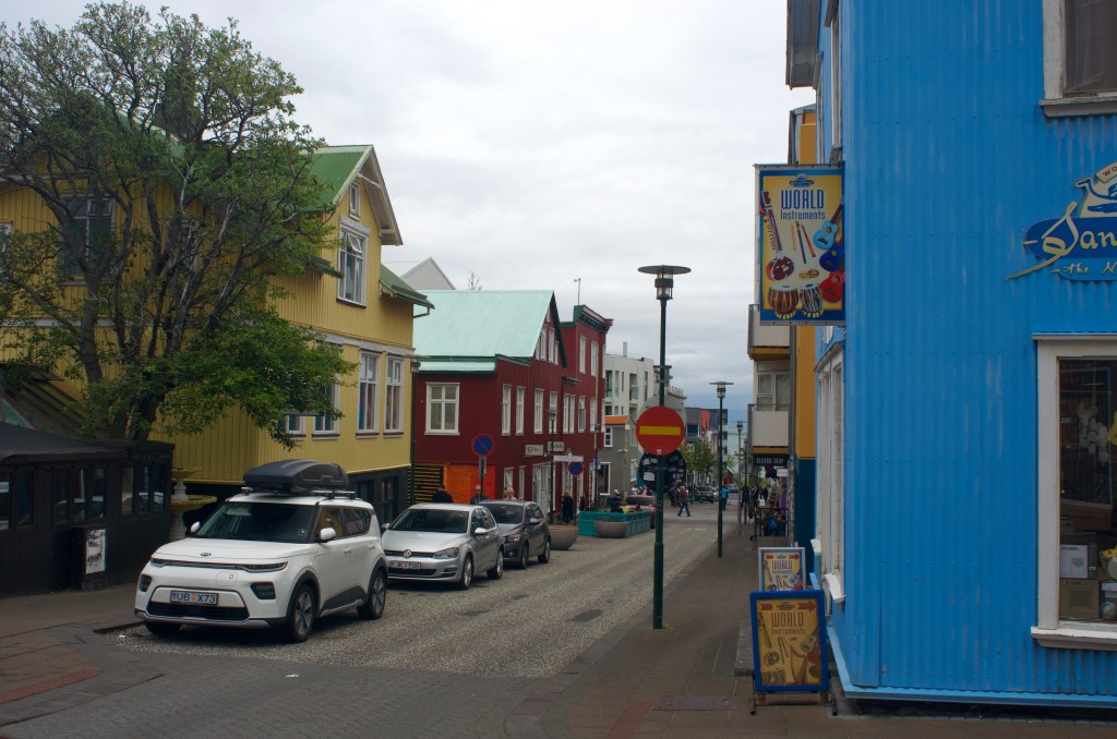
Pedalling through the downtown area, I passed streets of lovely little wooden buildings and stopped in at Reykjavik Fish and Chips for dinner.
I kept on round the coast a little and out along the quay before retracing my steps back towards the campsite.
Then, realising that there was an outdoor pool complex next door, I whiled away a few hours there in the evening, and after a busy few days, the geothermal hot pots were just the tonic.
When I cycled from Land’s End to John o’ Groats in August 2021, it was a targeted attempt to regain some fitness after a busy few months at work where sporting pursuits had fallen by the wayside. Since then, my main training focus has been running and the culmination of the last few years has been recent PBs in the 5K and Half Marathon of 18:37 and 1:25:40 respectively, and completing my first ever Marathon in Manchester in a time of 3:14:36. So, almost 2 years since LEJOG, I’m definitely fitter than I was, but I haven’t been doing much cycling, so it must be time for another adventure…
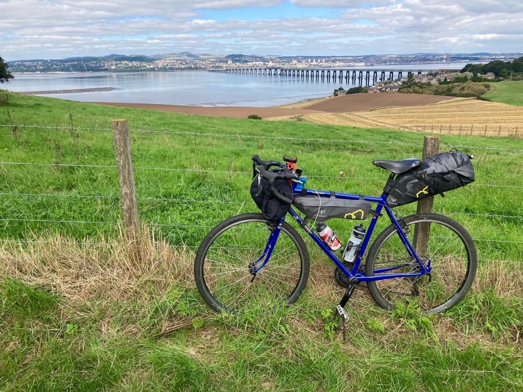
Last summer was largely spent working on bikes rather than cycling them, and I finally bought a new bike to replace my battle-scarred Thorn Brevet, the bike that has scaled the Atlas mountains and the Vietnamese highlands, while also rolling past the stunning Oregon coastline along the way. What is the new bike? Well, it’s another Thorn, a Club Tour, a heavier duty tourer with stronger wheels and wider tyres for exploring off the beaten track, perfect for its debut outing along the Fife Coastal Path last September.
So, when I started dreaming about where to travel next, my thoughts turned to the gravel trails of New Zealand and the dirt roads of the Carretera Austral in Chile, but, alas, I have a new job, and not enough holidays to spare, so I started to think of somewhere similar, but closer to home. An active volcanic landscape, sparsely populated, and only a two hour flight. That’ll be Iceland.
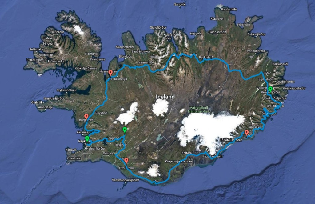
For those who have followed my previous tours, you’ll have spotted that I do like a good, old-fashioned, point to point route, they tend to look good on maps, and offer the greatest rate of change of landscape and culture. But, my second favourite is definitely a loop, and the fact that Iceland has a Ring Road that circumnavigates the whole country is almost as good! When I started to plan the trip I found statistics that suggested that the Ring Road still featured gravel stretches, and that as much as 30% of it could still be gravel. However, more recently I’ve found a more up to date source that shows that it has now been tarmacked all the way round, and now that I know that, it does make a difference to my choice of bike. And, with me being reluctant to take my new bike on a plane as of yet, the old one is being pressed into service once more.
What, then, is the plan? Well, I’ve booked my flights to Reykjavik, and I’ll stay in Reykjavik Campsite on the first night; storing my bike box there for when I return. Then, I’ll set off around the Golden Circle to Geyser and Gullfoss before joining Route 1 – the Ring Road – on the south coast, and following it anti-clockwise around the country. All in all, a distance of around 852 miles and with 16 days to complete it, it’s lucky there’s a lot of daylight…
Oh, and I leave tomorrow, so I’d best get packing!
I awoke early, unsure if it was the cold, or the fear of today’s elevation profile that caused it. The campsite was already a hive of activity, with another two cyclists packing up for the final day of their soon-to-be-aborted North Coast 500 attempt, nearby.
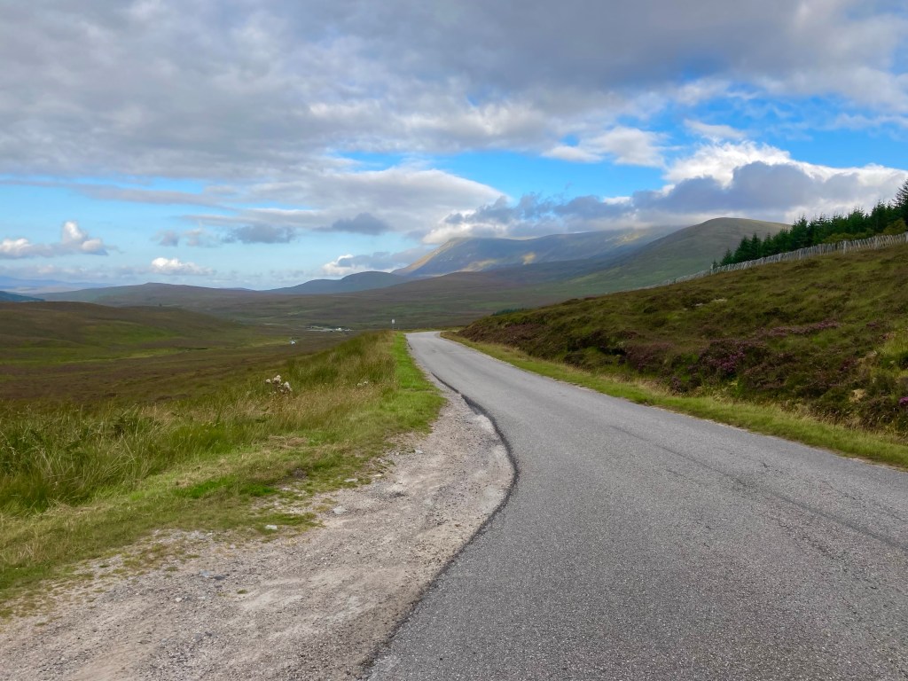
Setting off at 8:45, the day started with an easy mile along the coast, before climbing steeply to meet the main road. The climb hit a 10% gradient for the last few hundred metres, and was made all the harder by the car crawling along behind me on the narrow single-track road.
As I approached the junction with the main road, the two NC500 ladies whizzed passed up above, soon to turn inland and head for the train. Back on the main road, I kept climbing at a more reasonable rate, and was pleasantly surprised when it topped out at a not-so-lofty 120m, with some free yards on the flat before the descent ensued.
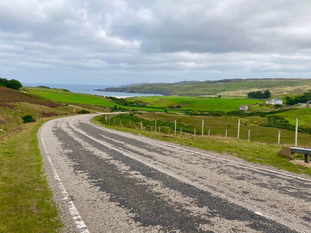
Down into Coldbackie I went, and as I rolled to a stop, about to put my foot down for my next photo opportunity, the wind nudged me gently the other way. I had plenty of time to scope out my landing, but insufficient time to unclip my foot, before tumbling sidewards onto the tarmac. I’d cycled all the way from Cornwall to the North Coast of Scotland, and then ended up in a heap on the road 2 miles later. Luckily traffic was light on this particular section of the North Coast 500 at this time in the morning.
Feeling like a Tour De France rider, I dusted myself down and tried to ascertain whether there was any lasting damage. I’d banged my knee, but though it was painful to walk, mercifully, it didn’t seem to hamper my pedalling, probably for the best with 60 miles still to go until John o’ Groats.
The last climb over to Bettyhill offered a sting in the tail as the road ramped up to 10%, while passing Borgie Forest, and dragged on for almost a mile, up to over 150m elevation.
Reaching Bettyhill, after a very lumpy 12 miles, I looked out over the bay and remembered the German cyclists in Taliouine, Morocco, who spoke of this place in my homeland of which I’d never heard. This is where their journey had terminated but mine still had a few miles to go.
Keen to see how the NC500 was affecting development in this part of the world, I popped into the dated Post Office / Convenience Store, stopped by the ancient toilets, and checked out the dilapidated campsite; which was populated by a few aged static caravans and Google reviews tells me had a toilet block so unhygienic it had recently been demolished. It does look like they’re building a new road, however.
The next hill was the worst, not necessarily because of the gradient, but because of the road surface. A protective layer of stones had been glued on top of the asphalt, and was creating so much rolling resistance that I kept checking my back wheel for punctures. Up ahead, I saw a slow-moving figure labouring up the hill. Quickly making up the ground, I encountered a Spanish girl on a heavily laden bike. She had masses of kit on the bike which would have been bad enough, but the bike itself looked like the sort you’d find in the bargain aisle in a supermarket. All things considered, she was doing remarkably well getting up these hills at all. She too was doing Land’s End to John o’ Groats, except that she’d started in London, in May.
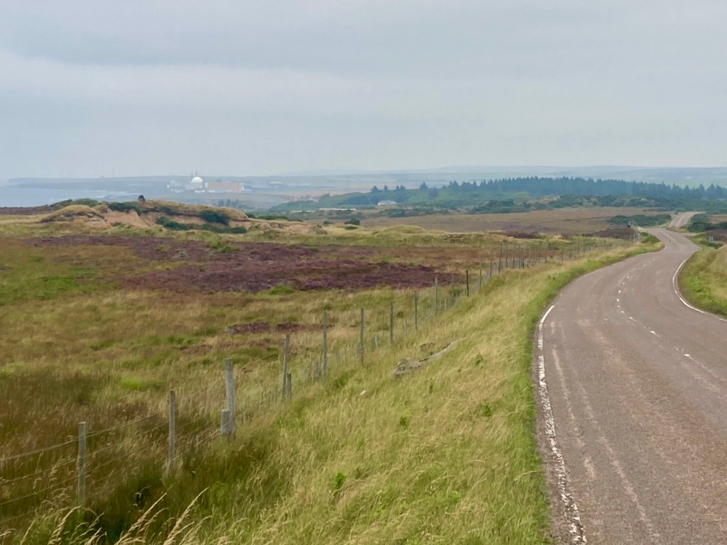
Turning inland, near the stain on the landscape of the decommissioned Dounreay Nuclear Power Station, a short climb led to miles of flat roads over open hillside. I thought I was dreaming, perhaps this day wouldn’t be so bad after all.
Stopping at a cafe in Thurso for lunch, I came across a couple of fellow End to Enders at the end of their penultimate day. They had also avoided the canal paths, and had spoken to someone else who’d had to keep making trips to the Jetwash after attempting those parts of the route. I felt partially vindicated in thinking that dirt paths and gravel shouldn’t feature on a ride suitable for road bikes.
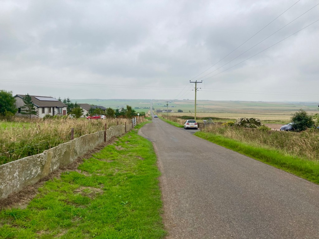
Leaving Thurso, it was 20 miles to go, I climbed back into the hinterland, finding some long and improbably straight roads, before dipping back down to the coast at Castlehill.
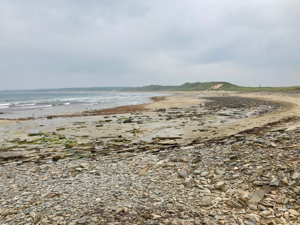
A final foray back inland took me far into the distance with thick cloud obscuring the coast. I took a left to Canisbay, and jumped back onto the main road for the final few miles to my finish line, the far north-eastern tip of Great Britain, John o’ Groats. It had been 1035 miles from Land’s End, 18 days, and miraculously only two days of rain. In deciding to cycle the length of Great Britain, I had been prepared for the worst, and had received the best, I had really been very lucky.
After a long journey of their own, my parents were there to celebrate the moment, and to take me and my bike home. No trains this time. They also had the privilege of being my impromptu media team, when some motorcyclists graciously offered us the chance to take some photos with the John o’ Groats signpost, after one of them pointed out that I’d probably worked harder to get there than they had.
On the way home we enjoyed a pleasant evening with friends in Helmsdale, before taking the circuitous route home through the Great Glen and Glencoe, on another glorious day. And I couldn’t help thinking, that as much as I love to travel and explore the world when I can, it really is pretty great at home.
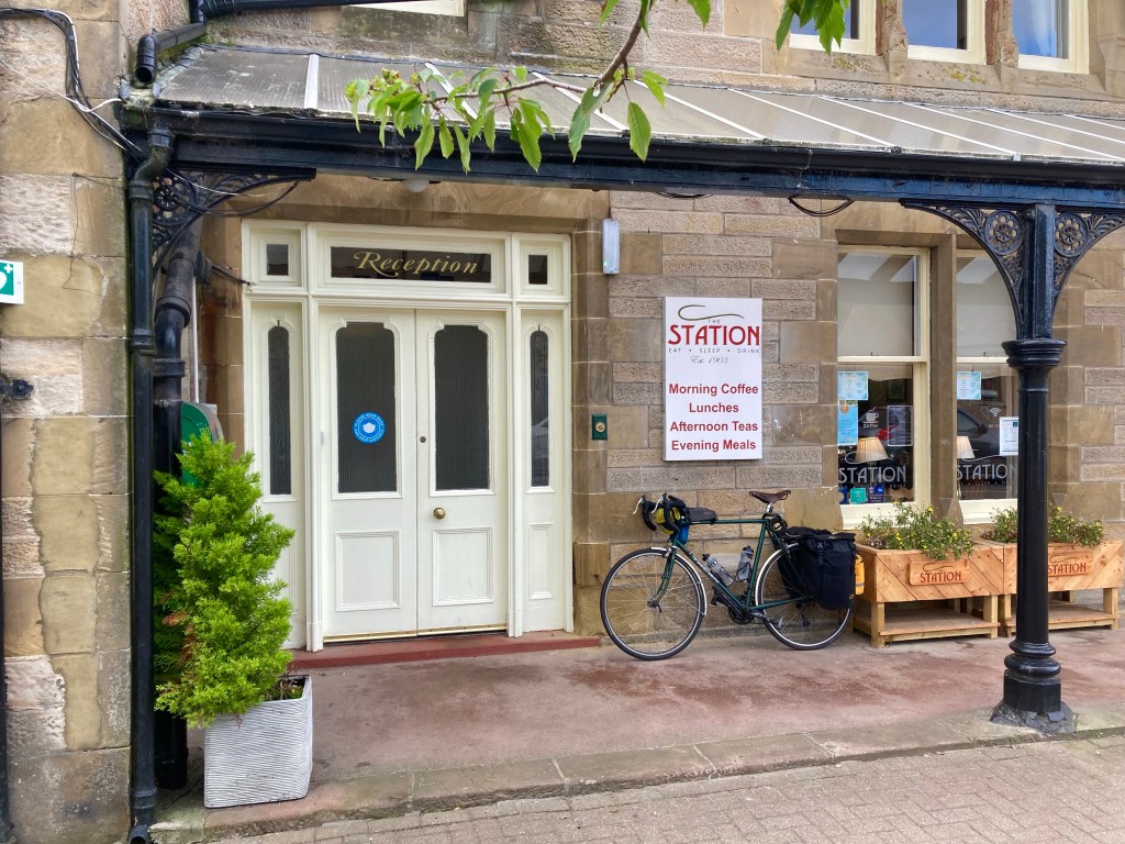
After an enjoyable breakfast in the Station Hotel, the road started as I hoped it wouldn’t go on, with a 12 mile climb up ‘The Struie’. The gradient was kind, and at 250m the views out over the Dornoch Firth were worth the toil.
On the descent, I stopped to take photos and got talking to a few people from a coach tour – who were on a cruise to Orkney – they liked the sound of my trip and deliberated whether they could do it on their electric bikes.
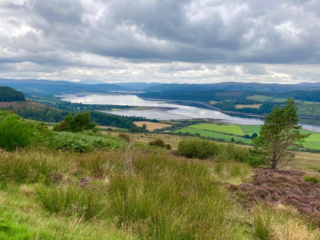
Plunging down to Ardgay, on the Dornoch Firth, the route led me past the Falls of Shin. Stopping at the falls, there was great excitement, as the Salmon were leaping up the river. I was lucky enough to see two during my short spell there.
Stopping in Lairg after a long tough morning, and 30 miles, I made for the Pier Cafe, feasting on an open ciabatta layered with black pudding, avocado, halloumi and bacon, drizzled with a sriracha mayo. I spoke to two cycle tourists on the way out, they had been on a similar length trip to mine, but had dotted about the north of Scotland, and popped over to the Outer Hebrides. It sounded lovely, but had they stayed in a Travelodge in Warrington, you have to ask?
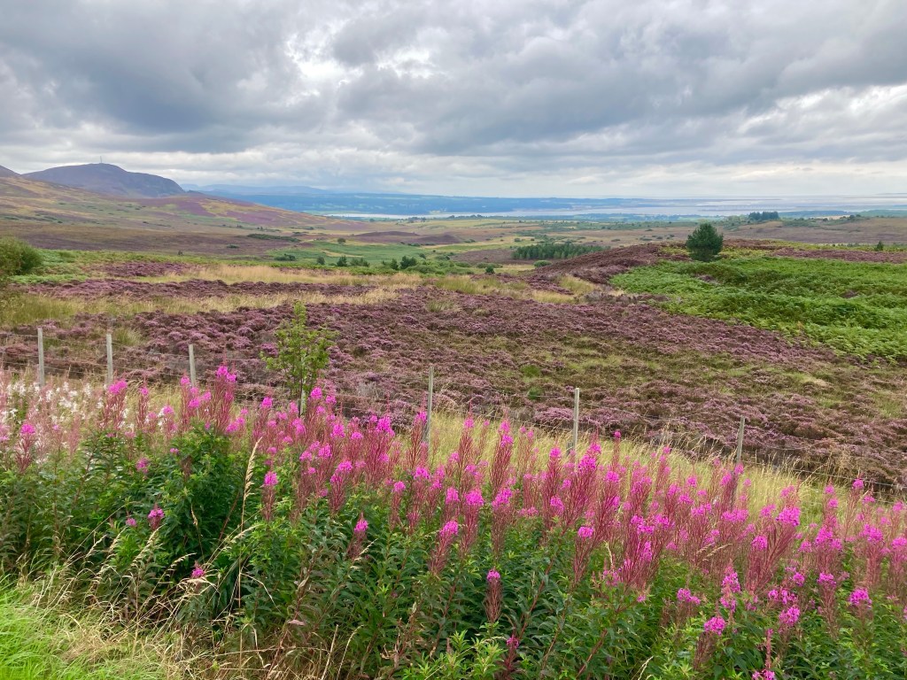
After lunch, I settled in for the afternoon. It was 36 miles to Tongue, and the couple at lunch, had said that it was a good combination of flat with rolling hills. Unfortunately, that didn’t factor in the headwind; as soon as I set out across the endless miles of open moorland, I felt the force of the 12 mph block headwind, and then the rolling hills began to trend upwards and by the time I was passing the Crask Inn it was a fully fledged climb, back over 250m once more.
A nice descent followed, with ample opportunity to survey Ben Klibreck’s route options for my future Munro attempt. Then I passed the desecrated remains of a hill-side commandeered for a future wind farm project.
Through Altnaharra, a stiff climb ensued, and it was tough going, thanks to the recently returning sunshine, the headwind and the quality of the road. For every pedal stroke I made, it felt like I was moving mere inches.
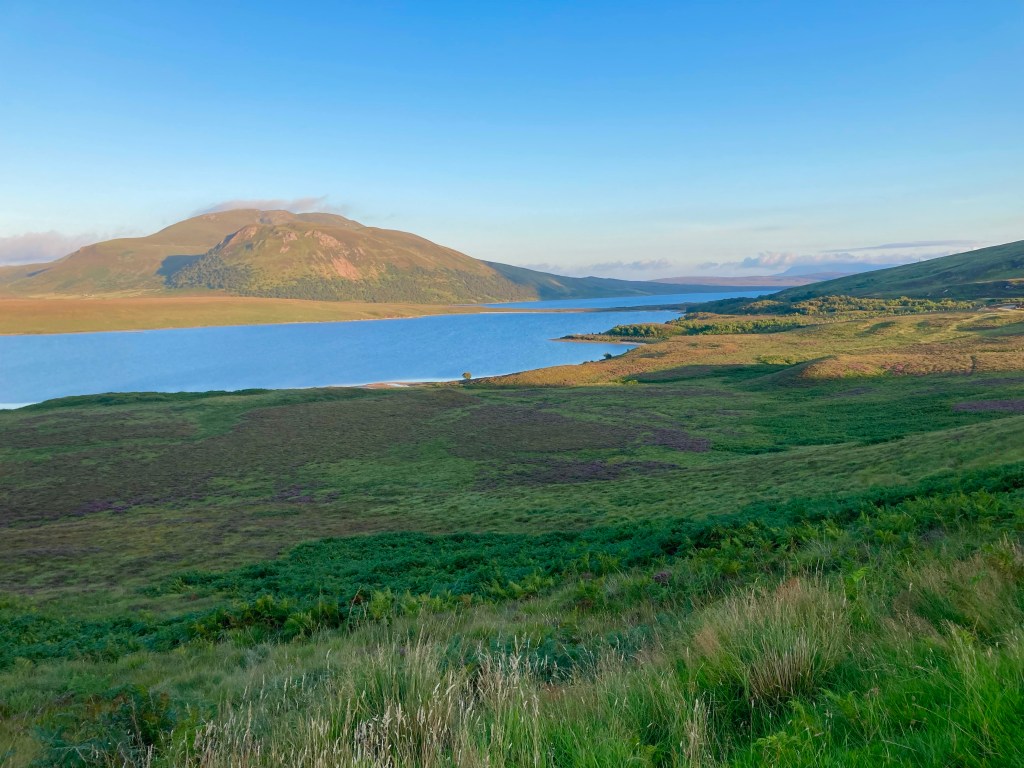
Passing Loch Loyal, under the eastern flank of Ben Loyal, the plateau was flattening off and I was sure it would be starting downwards to the coast very soon. But then the road turned a corner and upwards it went, clambering up to 200 metres round the shoulder of the hill.
Only then did I get what I’d wanted, almost 70 miles of struggle and persistence, had led me to the prospect of it being all down hill to the sea.
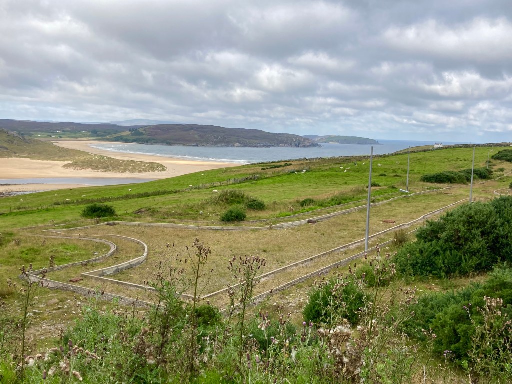
I rattled down the steep lanes of Tongue, arriving at the Hostel and Campsite at 19:53, just 7 minutes to spare before the reception was to shut. Luckily the camping areas were plentiful, and have fantastic views over the Kyle of Tongue. And for now, this is the farthest North on Mainland Scotland, I’ve ever been.