Distance: 75.06 miles
Time: 6:45
Elevation: 3266 feet
Today was a day to put tourist-mode to one side and engage cyclist-mode I told myself. Then I trundled out of Kingussie and was immediately confronted with a fantastic perspective of the Ruthven Barracks. Queue photographer-mode, and that trumps all.

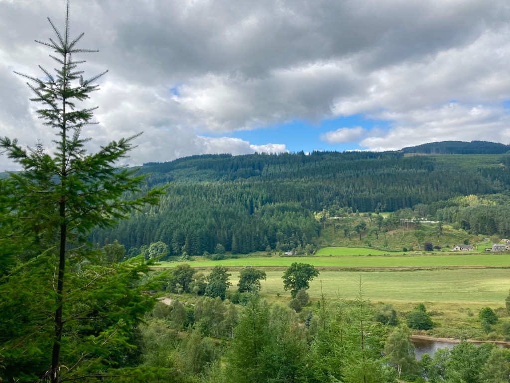
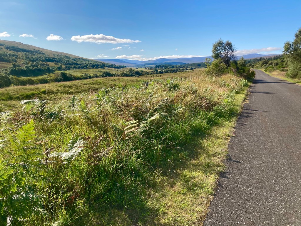
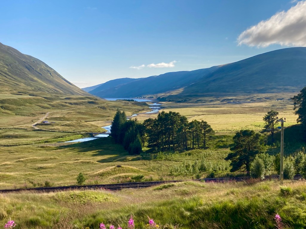
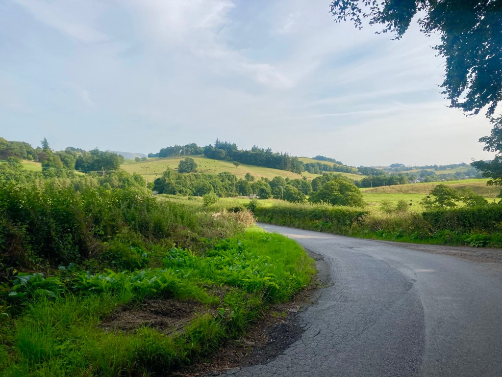
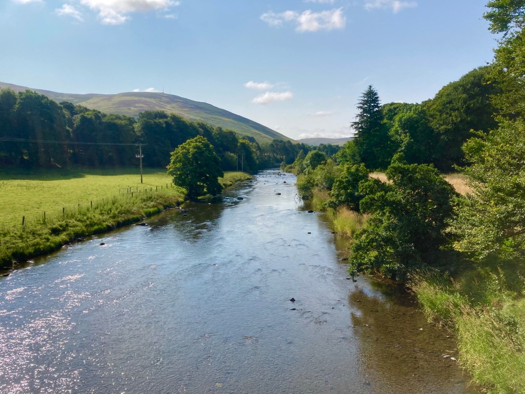
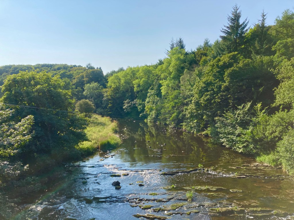
The route took the high road, across the Tromie and the Feshie, passed the forest of Inshriach, the Spey running through the glen below. Looking out over the flat lands of this high plateau, I was sure I could detect a hint of Autumn in the leaves.
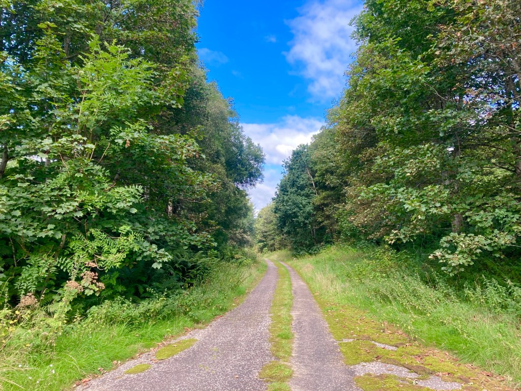
Emerging into Aviemore, from the Rothiemurchus Estate, I spent an age deliberating where to have lunch, and in the end I didn’t go anywhere at all, picking up a few things at the Co’op on the way out the other side.
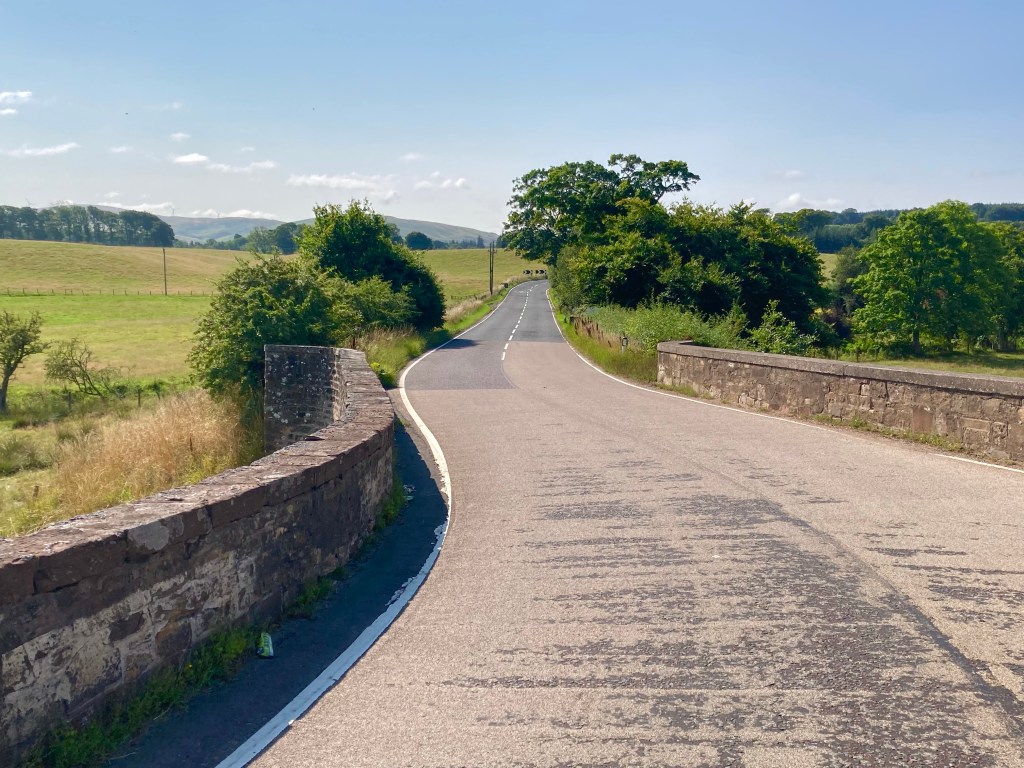
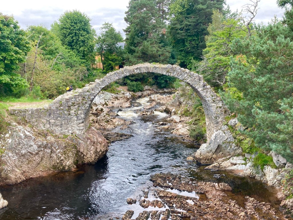
Next up, on the photographic tour of the Highlands was Carr Bridge, and really, how could I say no?
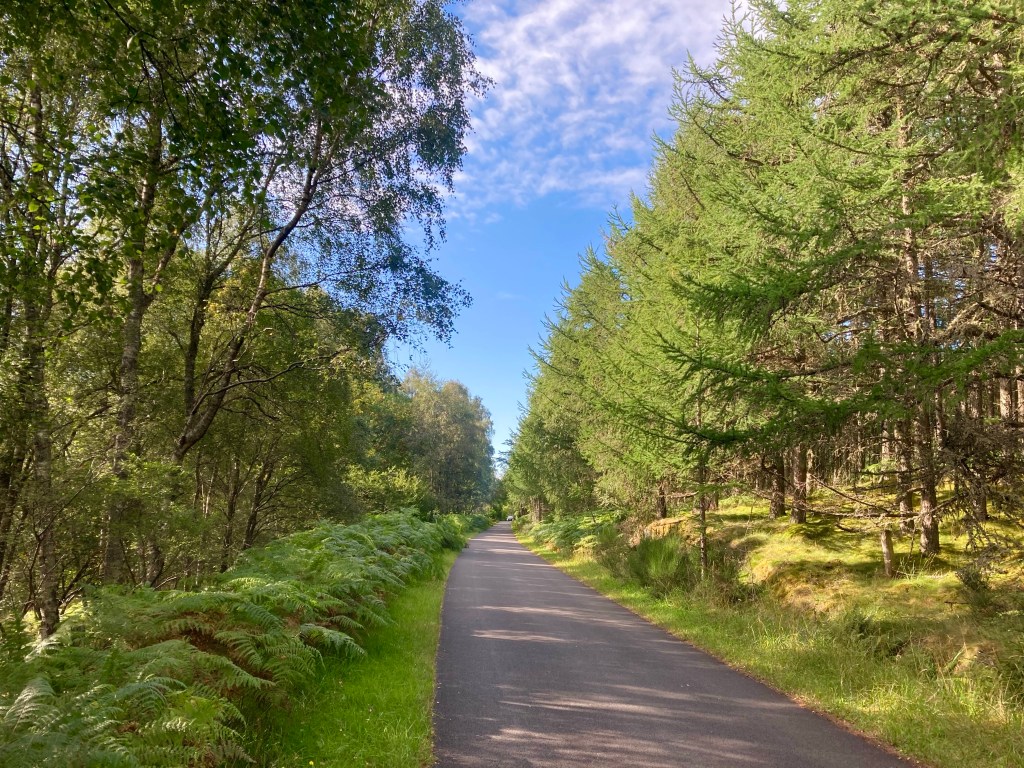
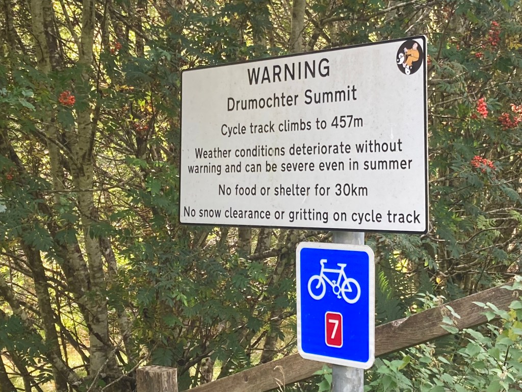
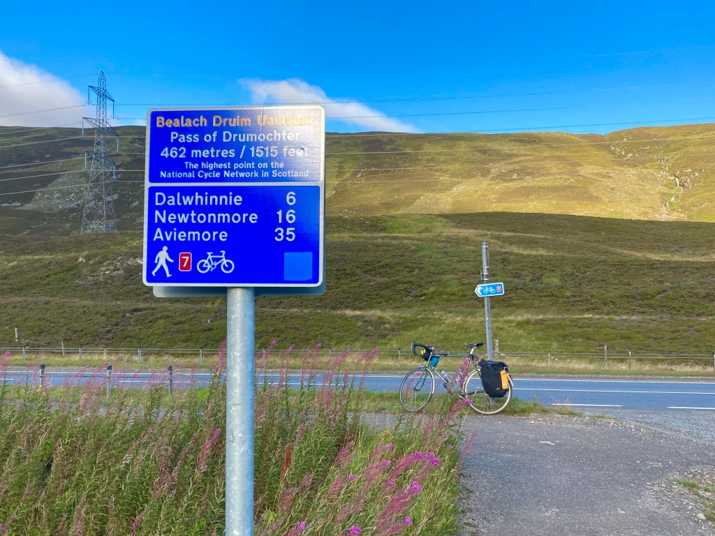
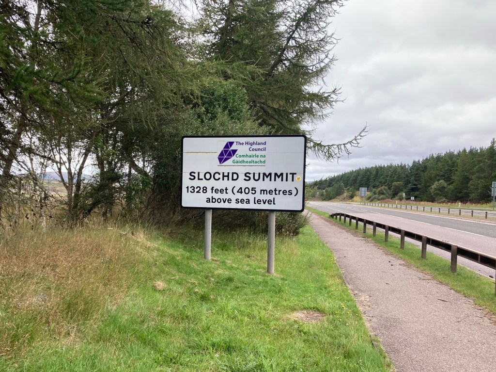
But now it was approaching 3 o’clock, and I’d still only covered just over 20 miles for the day, and next on the agenda was the climb over the Sloch’d Pass, at 400 metres, but the gradient was kind, and the weather was fair, as I gradually crept up the old road towards the summit, where old road, new road and railway line meet briefly in the passing.
The descent was joyous, and soon I found myself in Inverness, with a conundrum of sorts, of where to spend the night. So I went to the place where my plans form in haste, and yes I mean Burger King.
Ideally I would end the night in Alness, some 26 miles further on, but the campsite in Alness wasn’t taking tents this year because of Covid, so I started looking at options in Dingwall, before deciding that the 10 fewer miles to there would seriously hamper my plans to get to John O’Groats in two days. Luckily there was one room available at the Station Hotel in Alness, so I quickly booked it and got on my way. It was already 6 o’clock and now I had 26 miles to go.
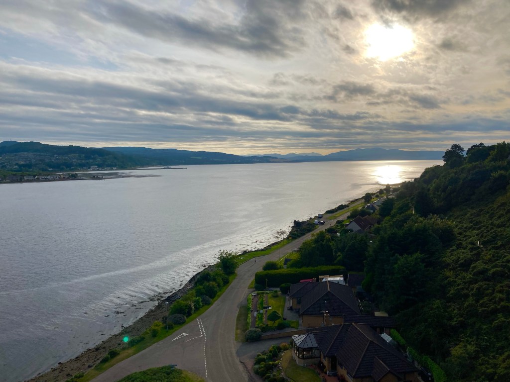
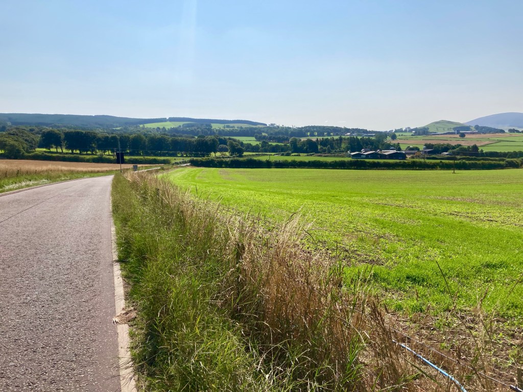
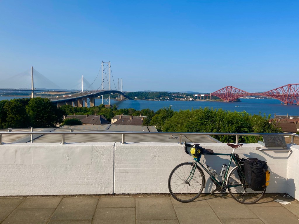
Over the Kessock Bridge I went, and then across the Black Isle on the route 1 cycleway. Reaching Dingwall, the route took a fiendish turn as it climbed up to Old Evanton road, a mile long climb, with a 10% introduction. But when I was up I was up, and the views were really quite special, back to Dingwall and forwards to the Cromarty Bridge.

Arriving at half 8, I was in a house across the road from the hotel, and they had a lock-up out the back for the bike. There was a Chinese Takeaway a few metres along the road, so that sorted dinner, and when that was done, I popped across to the hotel bar – just as last orders were being called – and allowed myself one for the road. Tomorrow’s road, that is, through the empty heart of Sutherland.