Lejog Day 12: Annan – Abington

Distance: 51.65 miles

Time: 5:08

Elevation: 2406 feet

Yesterday had been a big day, 70+ miles, over 4000 feet of climbing, hot and sunny all day long, and with the climax of the Scottish border to aim for, it had been a classic cycle touring day, but I needed to think about the rest of the route.

I awoke with the challenge of how to keep my bike rolling along. Over the last few days – as I’ve mentioned – various spokes have been slackening in the back wheel and I’ve just been tightening them up and making sure the wheel runs in a straight line. I’d tightened three spokes in Shap yesterday, but I’d also tightened two in Carlisle, and there was another one loose when I finished.

Reading a little online it suggested that if the spokes are too loose overall, then individual ones could start to lose tension. It was worth a try, so I started by tightening all the spokes and then tried trueing the wheel again from there.

It all looked great, until I looked at the wheel from the side and realised that the rim bulged out at a certain point in its spin. Oh great something new to learn, well that would have to wait, it was almost midday.

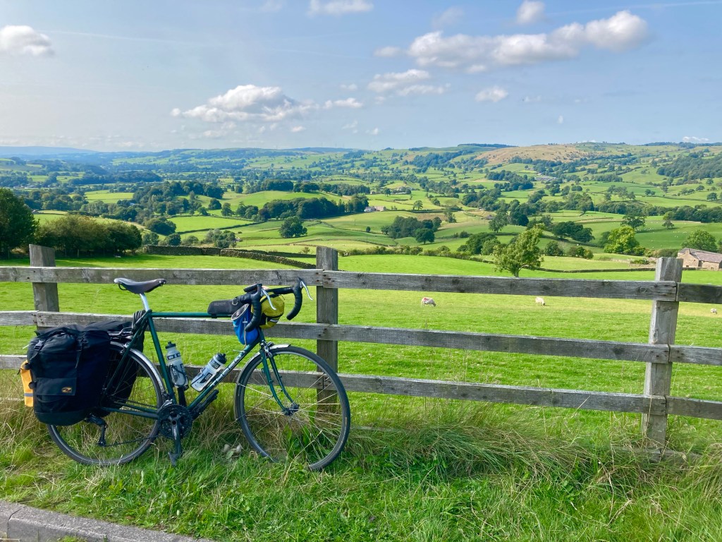
As it happened, I was now 90 or so miles from home in Fife, and I intended to stop off en route, do some laundry and swap out some of my gear. I would also have a better opportunity to fix anything needing done on the bike.

Realistically, after a big day yesterday, and with an ailing bike, I wasn’t going to try and ride all the way home in one go, so I decided to stop half way, give myself an easier day to home, get myself sorted overnight, then set out on the final 5 days to John O’Groats.

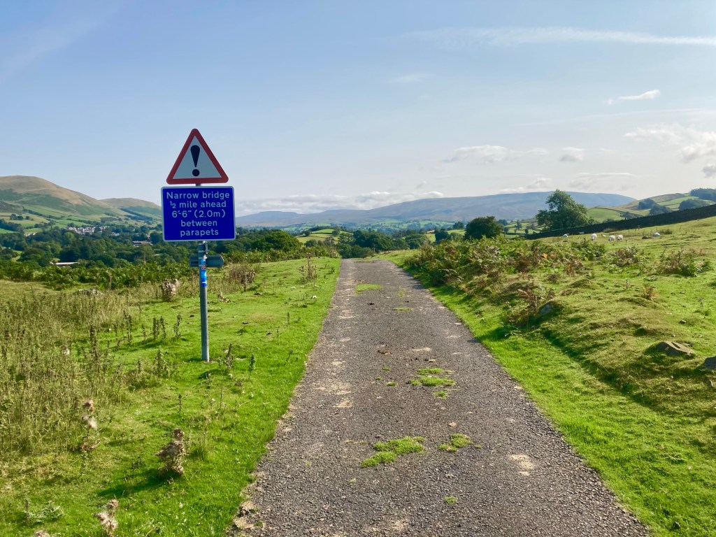
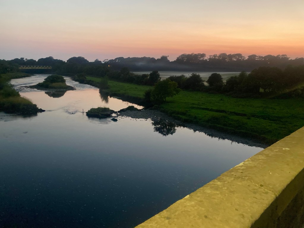
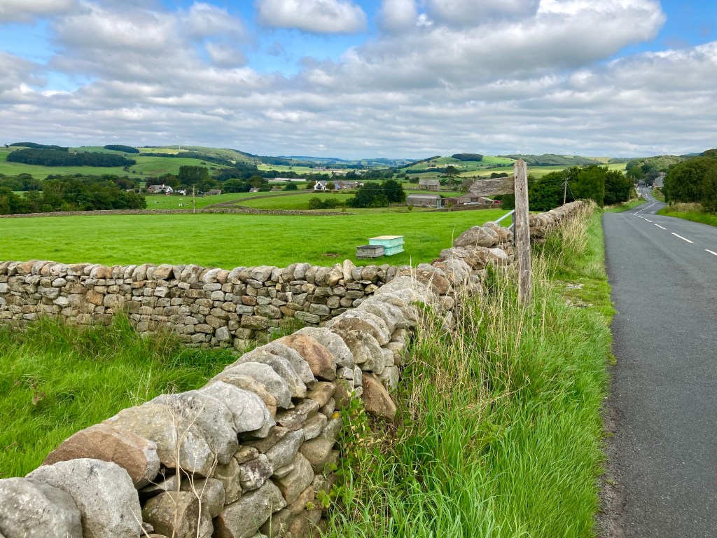
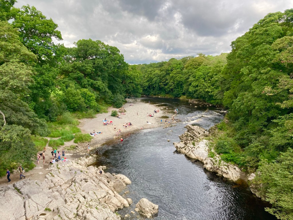
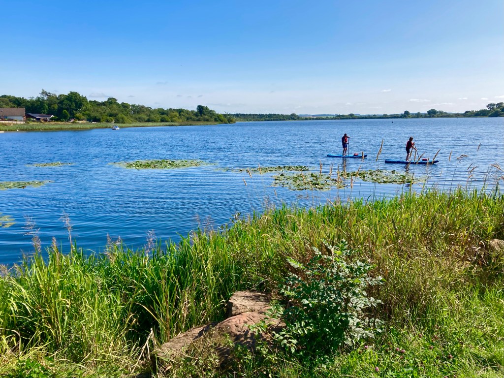
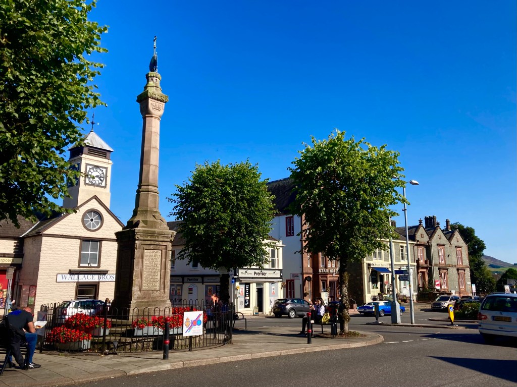
Leaving Annan at the bridge over the River Annan, I followed the path of the Annandale Way as the road tracked the river through picturesque countryside, passed Dalton and Lochmaben, where people were braving Castle Loch on paddle boards.

The road was rising gradually towards Moffat, and I was around 5 miles away, when suddenly a Microlight flew passed overheard. I might not normally have found this unusual, but as my Dad flies a Micorolight, and he could follow my tracker I found this very suspicious indeed. Texting my Mum to enquire about his whereabouts, it appeared he was indeed flying, and when he flew back over again, I managed to read his registration off of the wing!

Arriving in Moffat, I retraced the steps of my first visit – last September. I cycled up and down the high street, one by one eliminating all of the most appealing looking restaurants – because they weren’t serving food yet. Then left between two, I picked one, before realising that there wasn’t anywhere I could prop my bike outside it, so I went to the other one. Aah, that’s how I’d ended up at the Rumblin’ Tum last time. This time, I had a chicken and sweetcorn baguette and a white chocolate Oreo milkshake and despite my blatant attempts to avoid going there, it was actually quite nice.

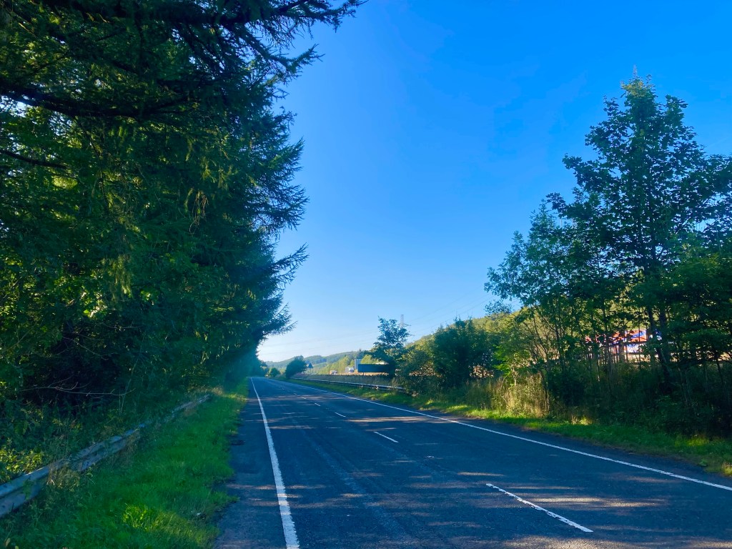
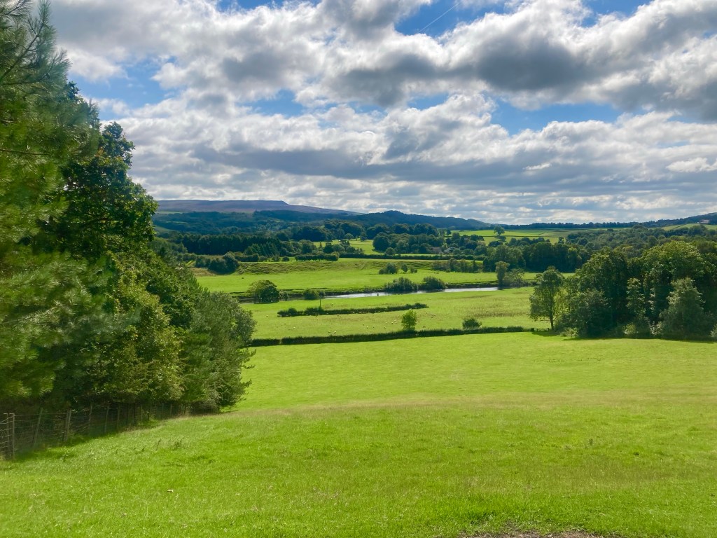
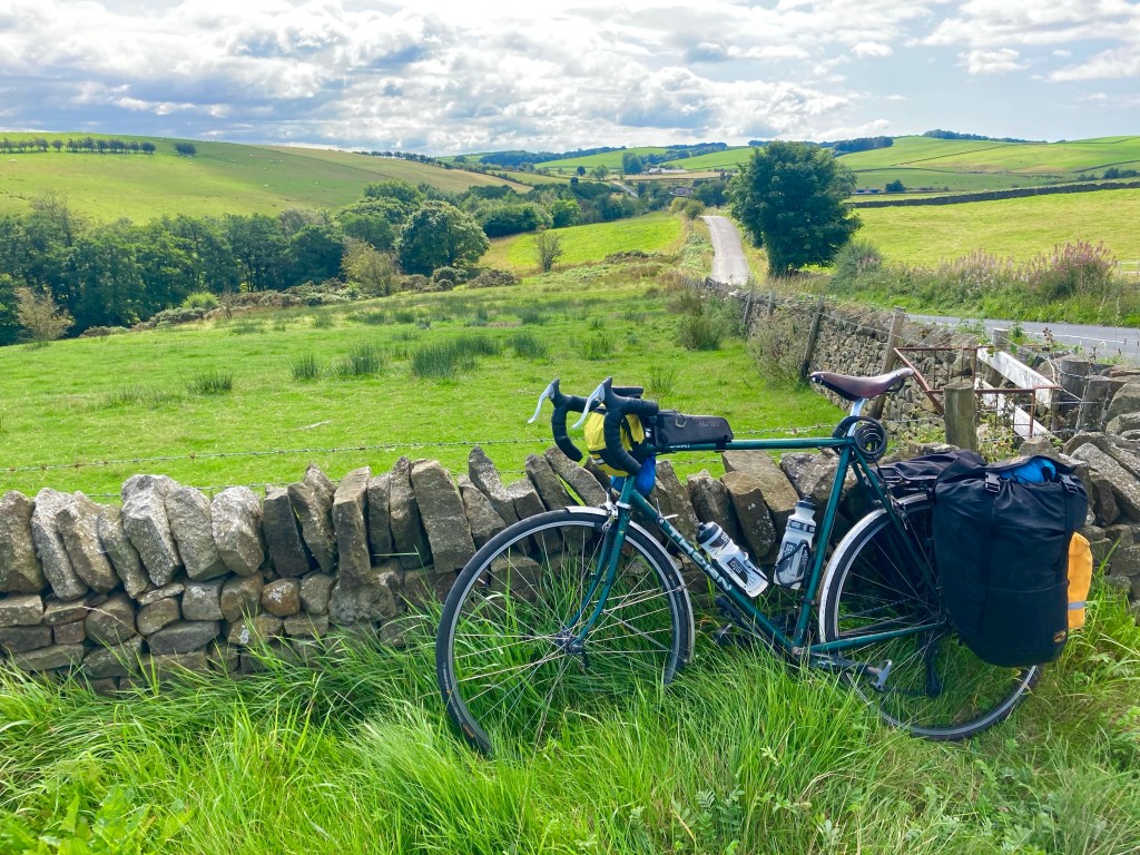
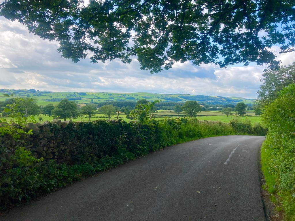
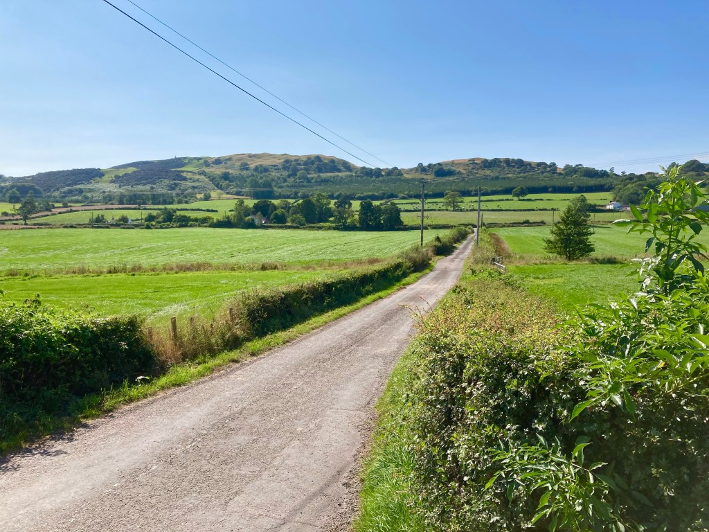
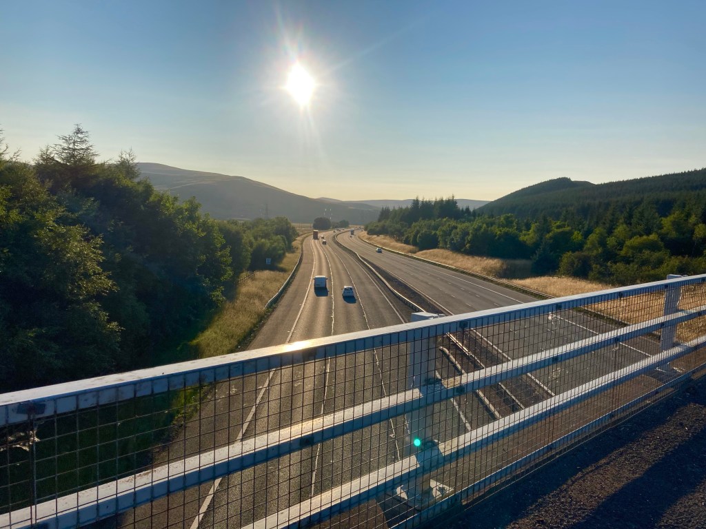
Leaving Moffat, I took the B7076, the old road that runs alongside the M74. It was 18 miles to Abington and that would give me 50 miles for the day. Of the 18 miles, a large swathe of those were uphill, and on a very rough surface. The going was slow, and the sun lay low in the early evening sky, but gradually I crested the top of the hill at 330m, having started at 20m down in Annan.

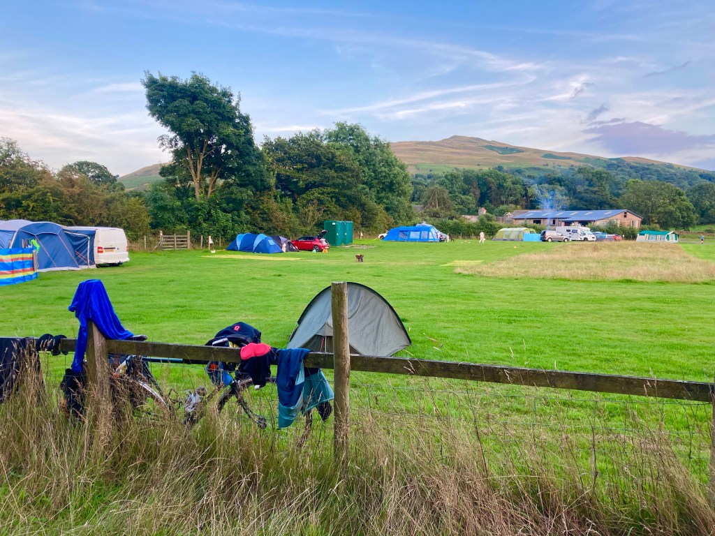
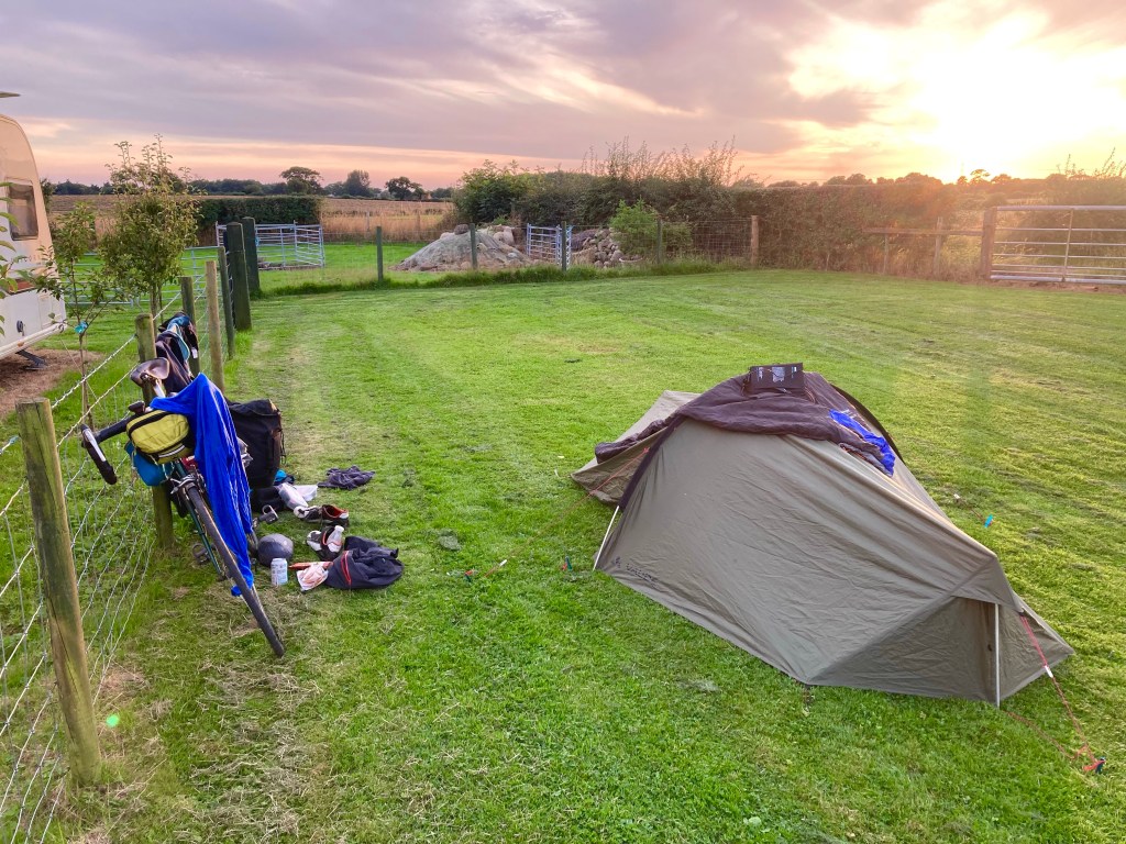
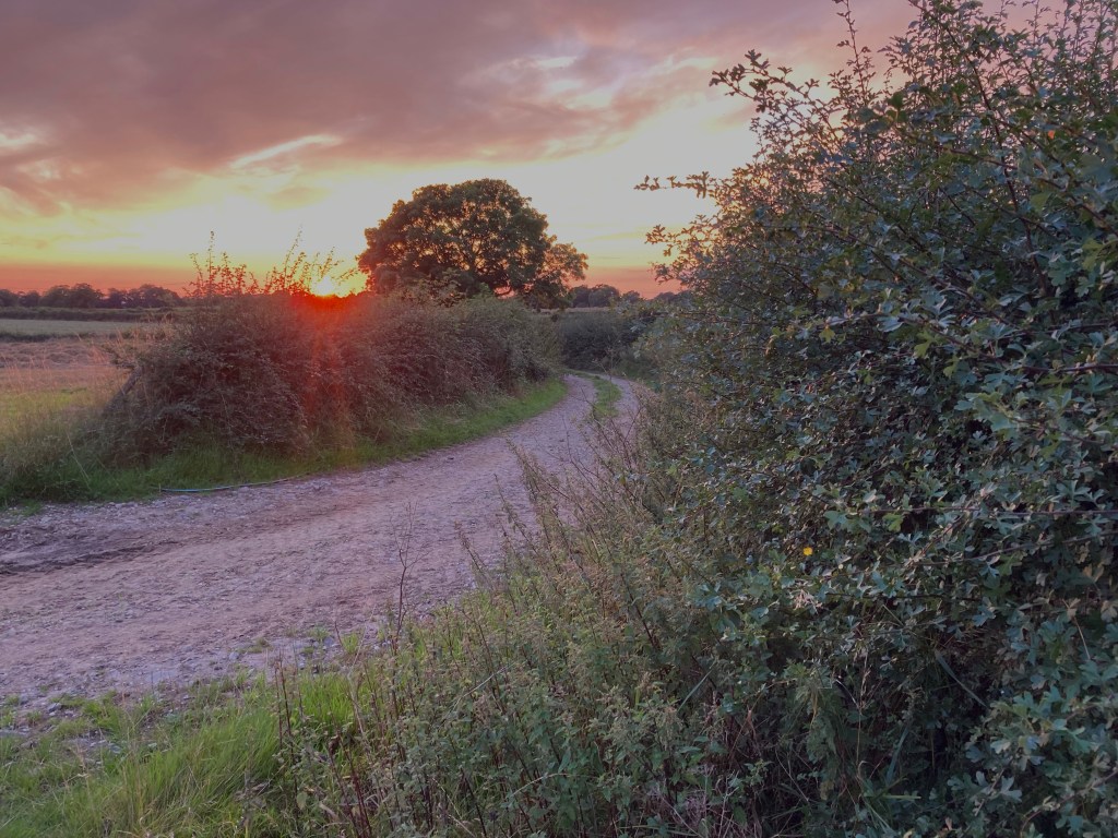
Coming off the B7076 at Crawford, the route passed through the village, before crossing a river and traversing around the hillside high above the West Coast rail network, until, just before I dropped down to Abington, I discovered the Mount View Caravan Park, and it now being half 7, I called it a night.

Lejog Day 11: Sedbergh – Annan

Distance: 71.6 miles

Time: 6:59

Elevation: 4297 feet

I awoke early with the sun shining through the walls of the tent, and was feeling particularly sore. I had a shower and quickly grabbed a roll and sausage from the cafe at the campsite, before walking my bike up the steep hill that left the farm. It was 10 o’clock on a beautiful morning, as I passed through a gate out onto a stunning high moorland, so peaceful that the sheep sunbathing on the road didn’t move a muscle as I pedalled on vigourously up the hill.

Dropping down off the moor, I climbed up to the quaint town of Sedbergh, stopping at the cafe to pick up some food for the ride. Debating what cake would be suitable for taking on the bike, it was pointed out that the cheesecake was baked, so it should be ok!

Climbing steeply out of Sedbergh, the road passed along the side of the Howgill Fells, on the western extremity of the Yorkshire Dales. The scenery was amazing, the weather was fantastic, and yes, even the hills were alright. As I traversed along the hillside, eventually I could see the M6 in the distance, and gradually I worked my way closer.

Finally reaching the motorway, just south of Tebay services, I crossed underneath and instantly started the tough Loups Fell climb, on a single-track road only popular with other cyclists and motor-cyclists.

Dropping back to the M6 once more, I passed underneath the Northbound carriageway, and found myself in the bizarre situation of cycling along between the carriageways, until eventually passing back out again and beginning the steep climb to Shap summit.

It was a tough climb in the full glare of the sun, and I was glad to roll the few miles down the other side into the small town of Shap. My back wheel had been creaking again, and I discovered three loose spokes, so I tightened those back up, and grabbed some ‘fuel’ from the Co’op before setting off for Penrith.

The next part of the route climbed up to Rosgill on the fringes of the Lake District, the road falling and running alongside the River Lowther, with the eastern fells of the park in the distance.

Eventually reaching Penrith after a long slog and plenty of climbing, I was still only at 32 miles for the day and was keen to get going as I struggled around the town’s over-complicated one-way system.

Jumping on the A6 – because Google maps said it would only take 1 hour 33 minutes to reach Carlisle – I was delighted to complete the 18 miles in 1 hour 15. It didn’t seem fair to leave Carlisle so hurriedly, after stumbling upon the castle and city walls, but I had my heart set on finishing the day in Scotland, so the time was a-ticking!

10 miles, with a brief glimpse of the Solway Firth, and a blast alongside the M6 later, and I’d finally returned to Scotland, crossing the border at Gretna Green and finding the Lejog ‘midpoint’ post.

Feeling buoyed by the achievement of cycling the length of England, I had a good feeling that the campsite I was aiming for in Annan, 10 miles away, would come up trumps; and that it did, on arriving at the Galabank campsite – at 7:30 PM – there was plenty of space and an amenable host who texted me the shower room code and told me just to drop my money in the postbox if she didn’t see me. Refreshingly casual, it was nice to be home.

Lejog Day 10: Garstang – Sedbergh

Distance: 36 miles

Time: 3:46

Elevation: 2156 feet

I awoke to the news that the GBDURO cycling race had finished during the night. It was a 2000 km race on mixed terrain, that had started at Land’s End the day before me and the leaders were now in John O’Groats. I seemed to be slacking a little.

I’d reached a stretch of the route I was looking forward to, skirting the edge of the Yorkshire Dales before passing through the Lune Valley and cutting the corner of the Lake District on the way out of England. It was still overcast when I left the campsite at just after half 10, and rolled back to the A6, where I stopped for breakfast.

The route began climbing instantly, as it turned away from Lancaster and headed inland. Soon there were tantalising glimpses of Morecambe Bay behind me, as I passed through the Forest of Bowland.

The next flatter section to Caton was lovely riding and the stone dykes lining the fields looked so much more appealing than the hedges further south. Reaching the small village, I stopped for an ice cream and iced tea in the warm sun, before a short section of cycle path led to a lovely climb up a tree-lined avenue through Halton Park.

More enjoyable pedalling took me along undulating country lanes to Gressingham and then, eventually, Kirkby Lonsdale, 26 miles in.

I was keen to stop here for lunch, so headed into the town centre, selecting Botanica as my restaurant of choice and opting for a very nice chicken and pesto pizza.

On the way out of town, I stumbled upon the local beach, as I crossed the River Lune on the bridge high above. A narrow climb up an old broken road led to better things and the eventual road led to the tiny village of Barbon.

Shortly after leaving Barbon and passing through beautiful countryside on the edge of the Yorkshire Dales I started to hear creaking from my back wheel once more. Investigating, I discovered a couple of loose spokes and set about putting it right.

Just after I’d fixed the wheel, a walker ambled up the road and sat on the wall opposite me. He’d been climbing Calf Top, a hill which he told me had recently been reclassified as a 2000 foot mountain. This seemed fairly niche knowledge about a hill he’d travelled 3 hours to climb, and when I mentioned that I was climbing the Munros, it turned out he’d climbed all of them, 3 times. And the Munro tops, and the Corbetts and the Grahams and the Donalds. Had I heard of the full house, he asked? It was all of the above, plus significant tops in the rest of the British Isles, and when he was registering his second round, only one other person had done them. But he must be getting back, as he had a knee operation in the morning.

By this time it was after 6, and I set off to do the last few miles to Sedbergh. I was still feeling like I had many miles left in me, but I knew of Holme Open Farm campsite, and then I wasn’t too sure of my options after that. Passing by the entrance to the farm, it was obvious that the campsite was relatively quiet and looked to be in a great spot, so I turned in off the road, and scheduled in some extra miles for another day.

Lejog Day 9: Warrington – Garstang

Distance: 49.9 miles

Time: 4:33

Elevation: 1400 feet

After my late finish the night before, I was a little sluggish out of the blocks, and my room in the Travelodge was covered in my drying possessions.

It was another glorious day, and as I stepped outside, the bright sunshine reminded me that I’d be needing new sunglasses. Somewhere at the other end of a gigantic maze of retail parks was Decathlon, so that was where I headed. It didn’t take too long to find a suitable replacement, and these were even better because they had interchangeable lenses, with clear ones to swap in when the sunshine disappeared, not that it was forecast to go anywhere for quite some time.

By the time I’d been to Decathlon, and picked up some lunch from a Tesco petrol station, it was now 20 past 1 and time to be moving on. I was happy with the miles I had covered for the last few days, so would be satisfied with a 50 mile day; that would see me in the vicinity of Lancaster, and very soon I’d be skirting the edge of the Yorkshire Dales and Lune Valley.

The Cicerone route for the day seemed to spend its time meandering around alongside canals, so I checked the map for a more direct route. It turned out that the A49, by which I was standing, would take me past Wigan and all the way to Preston some 30 miles away. The road was good, with plenty of sections that had a bike lane at the edge of the road, and, outwith the towns, the traffic seemed surprisingly light, perhaps because of the M6 motorway running parallel not so far away.

15 miles in, I was skirting around the edge of Wigan when I heard a mystery creak from the back wheel. Stopping to investigate, I discovered 3 loose spokes and spent some time re-trueing it.

Climbs out of Wigan and Standish followed, but I was making good time, and reached Preston after 3 hours and 30 miles. Cutting across town on a decent bike path, I followed an old tramway, then carried on through the beautiful Avenham and Miller park before heading back onto the road, and nipping into KFC for some sustenance.

Hoping that the A6 might prove to be as underutilised as the A49 was, I set off in the direction of Lancaster. Indeed it was, and I made good progress into the early evening. Stopping in a garage near Garstang, to pick up provisions, the attendant asked if I was getting any fuel. Pausing momentarily, I answered no, but clearly there were multiple types of fuel, and this was mine.

As it approached 7 o’clock, I arrived at Greaves farm and campsite, with nearly 50 miles under my belt. Reception was closed, but there was a handwritten mobile number scrawled in the window, so I gave it a ring. Almost instantly, the proprietor, Mark appeared and showed me into his peaceful little campsite. It was a lovely evening so I enjoyed cooking dinner on the stove and didn’t retire into my tent until long after it was dark.