Lejog Day 8: Ironbridge – Warrington

Distance: 73.85 miles

Time: 6:25

Elevation: 2024 feet

I’d already booked my evening’s accommodation at the snazzily titled Travelodge, Warrington Gemini, and it took the pressure off, knowing that I didn’t need to spend half the day considering where I should spend the night. According to Google Maps, it was 72 miles, and being a Travelodge I could check in at any time, so for once there was no rush.

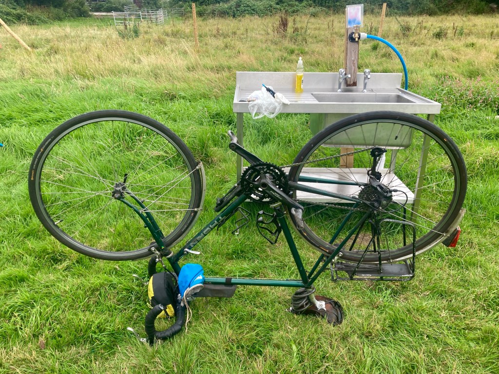
Knowing I had so far to go, I gave the gears a check over before I set off, many of them had ceased to work in yesterday’s deluge. Satisfied, I rolled back down the gorge to the village and had a bacon roll and Oreo-speckled piece of rocky road. By the time I was finished, it was already 12 o’clock, so I thought I had better get cracking.

Being at the bottom of a gorge, it was no real surprise to find that there was a stiff climb up to the main road north, but it looked like it might be the only significant climb all day, so I might as well get it over with. Having already breakfasted, I opted to bypass Telford completely, picking some main roads on the map and deciding to power through the 25 miles to Market Drayton.

Then, just before the town, I spotted the Fordhall Farm organic shop and cafe, so turned in there instead. I had a beef and horseradish baguette which was very pleasant, but the main star was some very fine organic apple juice. Preparing for the restart, I had the first casualty of the trip, when my sunglasses disintegrated in my hands.

Deciding to bypass Market Drayton, I turned onto the A529, enjoying 10 gloriously rolling miles to Audlem. The sun had emerged, and for the first time all week it was starting to feel like summer, just the kind of time when sunglasses might have been handy.

Heading onto a quieter road for the 8 miles to Nantwich, I was happy with progress and went in search of ice cream in the medieval town centre. Renowned for its fine examples of Tudor and Georgian architecture, I couldn’t help but think that it seemed a shame to preserve an ancient building to turn into the Nantwich branch of ‘The Works’. Unfortunately, my hunt for ice cream reached a disappointing conclusion when the only cafes I could find were Costa and Caffe Nero.

Back on country roads, I was soon in Winsford and passed through without finding much in the catering line at all, then, on the way out of town, I stumbled upon a McDonald’s and headed inside. The day was starting to feel a little more like my journey down the Pacific Coast: the sun was shining, the miles rolling by, I was in a fast food restaurant late in the afternoon, and would be pedalling on into the night.

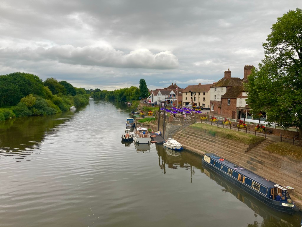
I took a series of A roads towards Northwich, passing the historic Quay district before turning onto Old Warrington Road. Now closed off to traffic, the road was in a poor state of repair as it wended its way around Marbury County Park, but I was pleased to be off the busy highway in the impending gloom.

Finally crossing over the M56, I knew I was in the vicinity of Warrington and merely required to pedal as far as the M62 which marked the town’s northern border, and beside which my night’s accommodation lay. I took a few quieter roads into town – passing the extensive site for the upcoming Creamfields dance festival – before turning onto the Trans-Pennine Trail to cross over the Manchester Ship Canal. Undertaking the last stretch, back on the road, I struggled to navigate the massive Gemini retail park, eventually finding the Travelodge at after 9 o’clock.

In need of a beer – after a successful day in the saddle – I discovered that all of the bars in the retail park were closed, but luckily there was time for one, in the Indian restaurant below the hotel, with the staff vacuuming around me.

Lejog Day 7: Rhydd – Ironbridge

Distance: 60.32 miles

Time: 6:00

Elevation: 3687 feet

I was woken early by the dispiriting sound of heavy drizzle on the roof of the tent. I was up, but I wasn’t going anywhere. Eventually, the rain eased a little and I took the opportunity to start packing, aided by a cup of coffee donated by the kindly couple in the camper van on the next pitch.

Setting off at quarter to 11, I quickly polished off the 6 miles into Worcester, passing the Cathedral on the way into town. I wasted time trying to find a cafe, and by the time the food came, the rain had started again.

Rueing the missed opportunity to get more miles done in the dry, I pulled on my waterproofs and set off with renewed vigour. Soon I reached Droitwich Spa following the route along the river and through a park, before muttering in exasperation when I was directed all the way around an industrial estate – just to avoid a short section of road that actually had a cycle lane on it. The route was following a National Cycle Route, and that’s National Cycle Routes for you.

Next up was the pleasant hamlet of Hartlebury, where a fête was in full swing, in Marquees beside the local pub. Reaching Kidderminster, I was happy enough to be led along a decent canal-side path, missing most of the town. It might have been the weather, but compared to Gloucester yesterday, the big towns today had failed to impress.

I followed the route as far as Kinver, where I was struck by the Old Grammar School House building.

Looking at the available accommodation in the area, I decided to head in the direction of Telford, planning to get a few more miles in for the day. Back on an A road, I was hoping to make good time, but the road had other ideas, being decidedly narrower and hillier than others in the area had been. Reaching the impressive town of Bridgnorth, I tried some local campsites with no success, eventually finding a site in Iron Bridge, 11 miles away. The cycling was painfully slow, with long drawn out climbs stretching out almost the whole way.

Dropping down to Iron Bridge, I took some photos and grabbed a chippy before starting the steep climb to the Iron Gorge Campsite high above the town. It was after half 8 by the time I arrived, so I quickly put up the tent, just before the rain reappeared.

Later, another camper turned up, Danielle, and she was also doing Land’s End to John o’Groats. ‘How long did it take you to get here she asked?’ 7 days, how long did it take you? ‘4 weeks’, she replied. She’s walking, of course.

Lejog Day 6: Bristol – Rhydd

Distance: 70 miles

Time: 5:39

Elevation: 1802 feet

Breakfast was of the buffet variety, at the Hampton by Hilton, Bristol City Centre, it was the first one I’d seen at a hotel for quite some time!

It was 11 o’clock when I headed out onto the city streets, the warm air and frenetic vitality stirring memories of past adventures as I sought an escape out onto the open roads. The A38 was the secret to my escape and I quickly settled into the flow of the traffic, aided by a cycle lane along most of the route. I was starting to remember the satisfaction of seeing the miles tick by, so for a while I ignored the GPS route as it furrowed a meandering course further North, until with 20 miles under my belt, I finally rejoined it in the small town of Berkeley.

Stopping for a cream tea, I perfected it this time: plain scone, clotted cream, strawberry jam. Too late for Devon but in time for Gloucestershire. I followed the route out of town and was immediately waylaid by a diversion, then when reaching Slimbridge I waited for the swing bridge over the canal, before finding another stony towpath that I wouldn’t be taking. 2 miles of loose stones didn’t appeal, so back to the A38 I went.

40 miles done, I found myself in the splendid environs of the Gloucester Docks, a row of Victorian warehouses sitting beside the canal. The gentle murmur from the quay-side craft beer establishments , almost drew me in, but, after a muffin I’d harvested at breakfast, I was back on my way. Over the hill by Maisemore, and on through the fields to Tewksbury.

With 60 miles covered by 6 o’clock, I was happy with progress and set about trying to find a campsite. The nearest I could find was the Riverside Caravan Park, but it was still 10 miles down the road, so back on the bike I went, through pretty Upton upon Severn, arriving at the site at 19:15.

Having not had lunch, I was relieved to find that there was a restaurant on site, but dismayed to find that they didn’t take card. Most of the money I was carrying was Scottish, what were the chances they’d accept it? Pretty good as it happens, so Chickpea and Sweet Potato Curry, followed by Chocolate Fudge Cake, it was.

Lejog Day 5: Bridgwater – Bristol

Distance: 30.4 miles

Time: 3:13

Elevation: 1236 feet

The morning was slow but productive, I was intending to try and fix my gears after an ill-fated earlier attempt had left me with two gears, one that was slightly too hard for the hills, and one that was slightly too hard for the flat. Then, turning my bike over to fix the problem, I discovered a loose spoke and buckled back wheel, it couldn’t complete a full revolution, instead jamming up against the brakes. The bike maintenance had just become critical.

I set about it with my usual abandon, not quite remembering what I was doing but steaming ahead anyway. When the buckle in the wheel got steadily worse, I turned to Google, and soon got the hang of it. Wheel back in true, I gave the gears a go, trying to get a little more tension in the cable and refastening the screw. Soon the gears felt pretty good, really good in fact so I pedalled off, much more quietly down the road.

It wasn’t long before I was back on the route and meandering between some fields, crossing back over the M5, then traversing along the side of a hill. Shortly after, the route turned onto the Strawberry Line, an old railway line turned bike path that made for Clevedon on the coast. It started well on a smooth dirt surface, but it wasn’t long before it turned to loose gravel and stones.

Trying to piece together an alternative route on road was tricky and every time I stopped I realised how tired I was feeling. So, when it started raining – as I pedalled along the busy main road I was using to avoid the cycle path – I dove for cover in the Congresbury Arms.

Grabbing what I could off the bike, I headed in out of the rain. Laden with kit, I skidded on the slippy floor in my cycling shoes, the rain had given me the shivers, and sun tan lotion had washed into my eyes. I decided I was in need of a rest; I was still to decide where I’d stay tonight, but both my power banks were dead and my phone battery was down to 40%, so it seemed like a good time to book a hotel.

Considering the onwards route, I decided there wasn’t much point in following it – I knew it was mostly bike paths, which I might just avoid anyway. I also wasn’t too bothered about seeing Clevedon, but I very much wanted to see the Clifton Suspension Bridge, and as the A370 – that I’d just been following – would take me right to it, I decided that that was the plan, and I’d just book a hotel in Bristol while I was at it.

Reaching the bridge, I was stunned. Of course I’d seen photos, but I was taken aback by what a fantastic setting it had. I whiled away an hour soaking up the views, before heading down through the town to my hotel. Batteries set on charge, I headed out for dinner, eventually deciding on the Lebanese restaurant, Beirut Mezze, enjoying a Fried Cauliflower starter followed by a whole Sea Bass.

The stage to Bristol, through Cornwall, Devon and Somerset has taken 5 days, covering 243 miles and involved 16,567 feet of climbing.

Now for some sleep.