Day 35: Ventura – Santa Monica

Day 35: Ventura – Santa Monica

Distance: 68.14 miles.
Time: 6:32.
Average Speed: 10.4 mph.

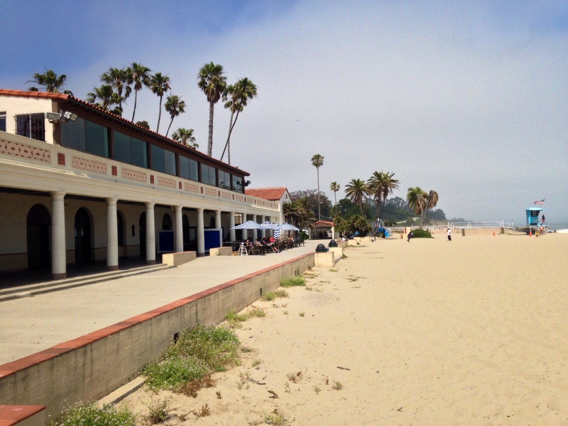
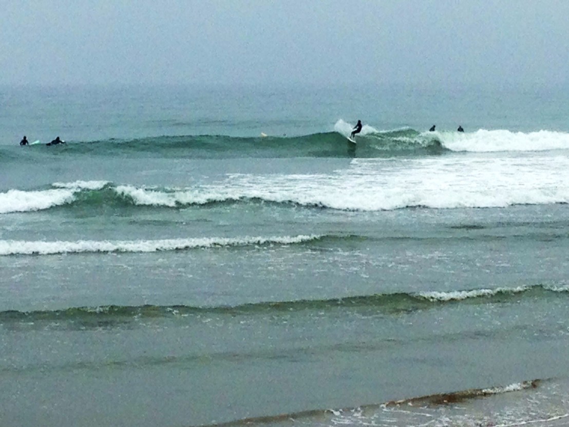
Although it was to be a shorter day than the previous few, I was keen to get on the move. After setting off, I headed along the Ventura coastline, passing Surfers’ Point which was a hive of activity despite it being 8:45 on an overcast morning.

image.jpg

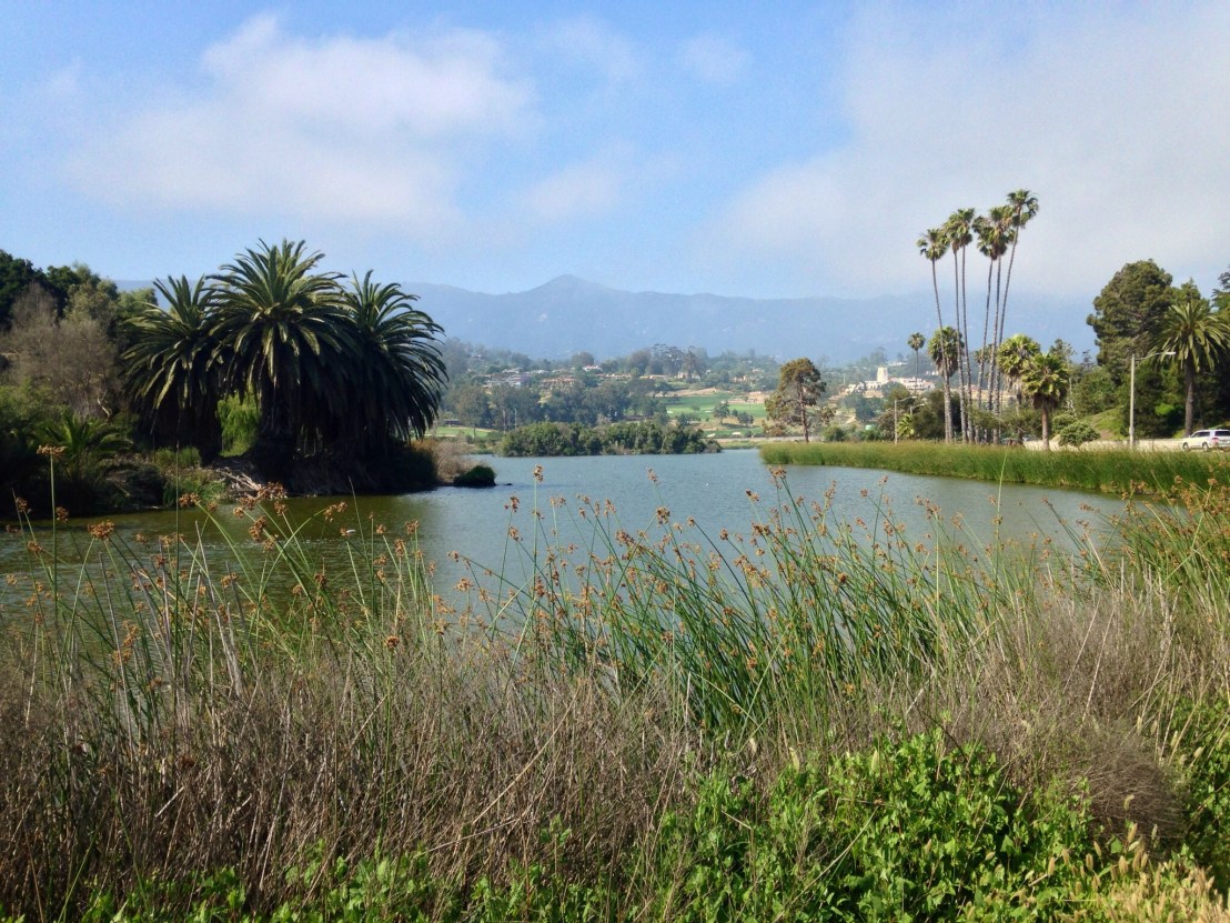
Rolling along some peaceful residential streets, I turned the corner and was amazed to see the backyards of the houses I’d just passed by.

image.jpg

Continuing to Port Hueneme, I pedalled right through town and out the other side looking for somewhere promising to breakfast, before backtracking and finding ‘The Best Breakfast Cafe’.

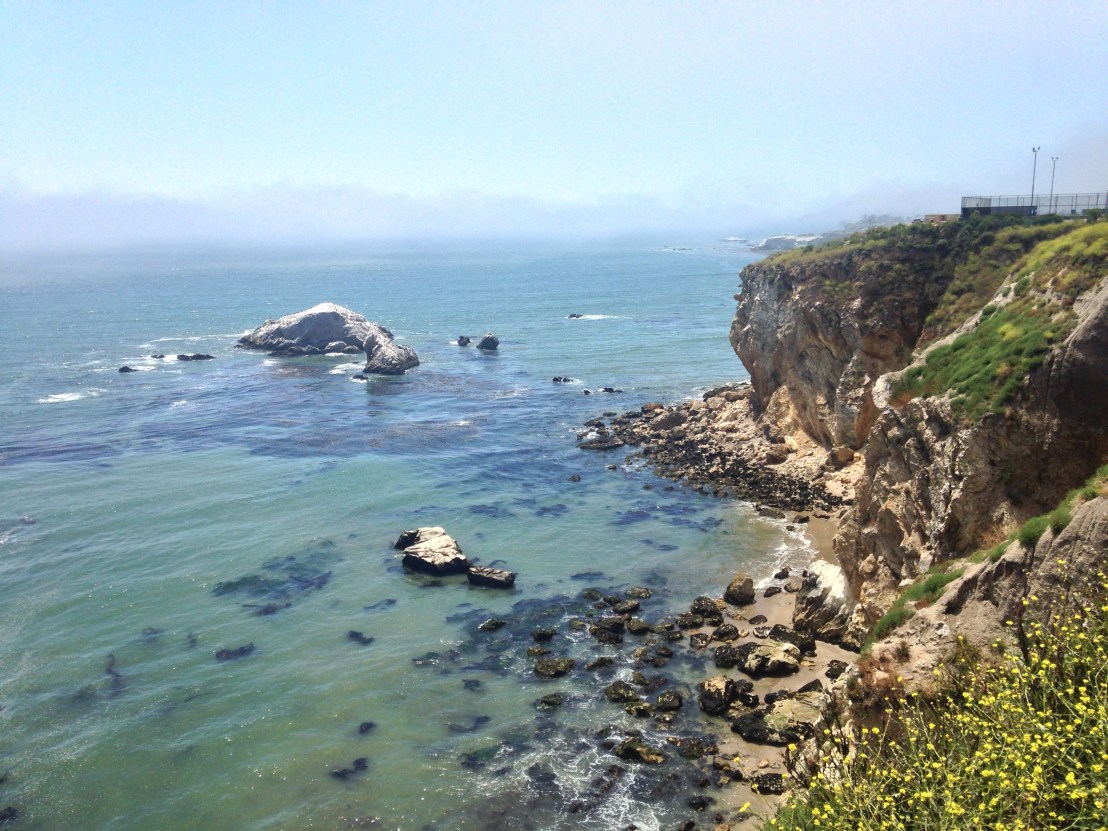
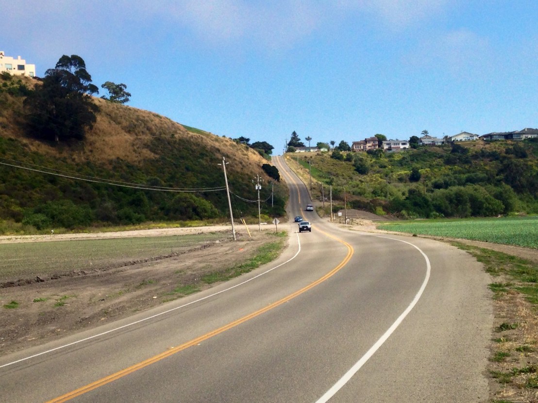
Soon I was back on Highway 1 and back on the coast, admiring the view at Point Mugu.

image

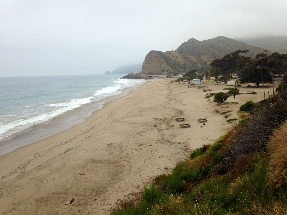
continuing on to Leo Carillo State Park where I saw the very specific random collection of vans and trailers that suggested a film shoot was nearby, and there it was, further along the beach.

Next up was probably the most dangerous part of the route so far, as I passed through Malibu for the next 21 miles. There was a car width shoulder throughout, but most of the route was along busy beaches and the shoulder was lined with cars. It was a fine line between leaving room for opening car doors, and staying off the carriageway. I took a break half way through, stopping at Malibu Seafood for some Clam Chowder and Fish Taquitos.

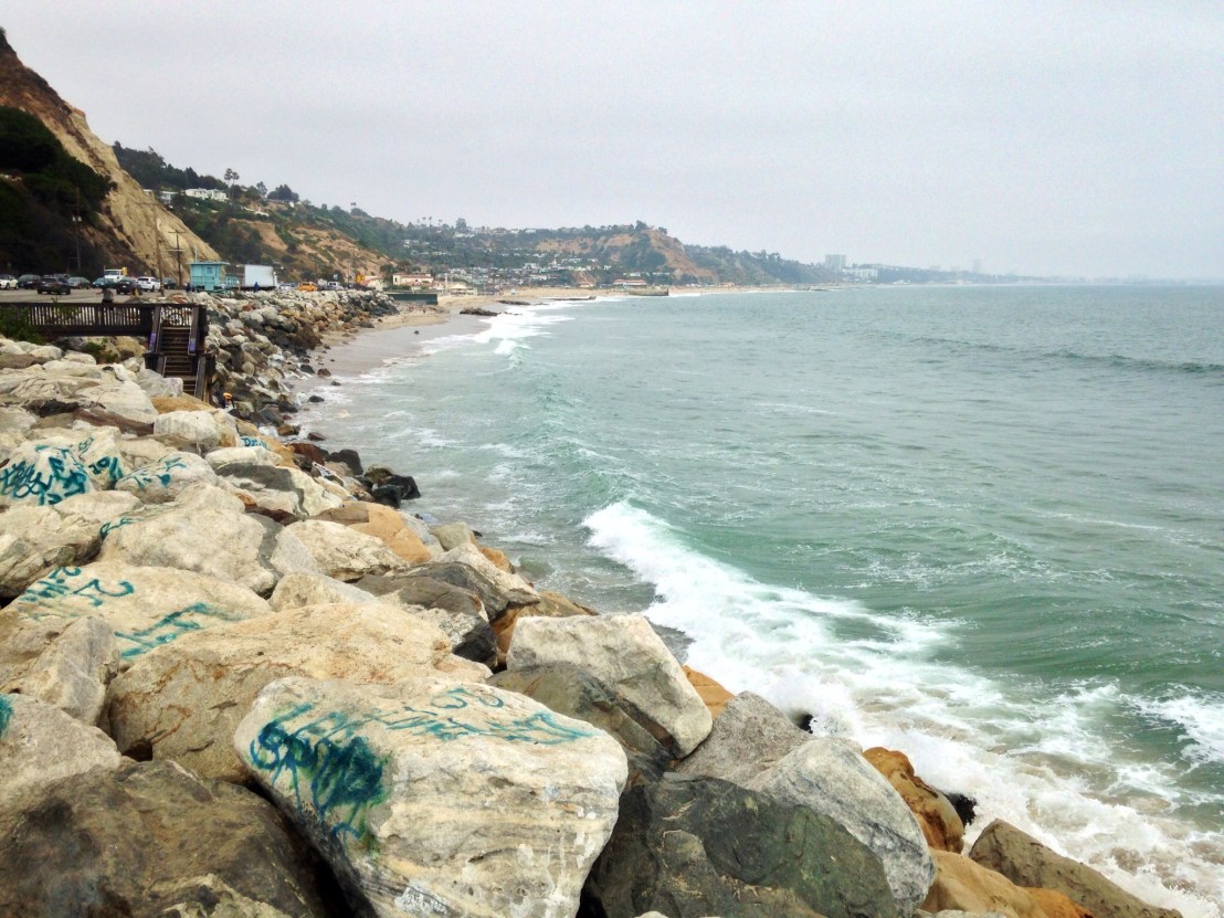
Then, at 5 o’clock, I reached the outer reaches of the Los Angeles coastline, moving onto the beachside bike path to head along the coast through Santa Monica and Venice Beach.

image

It was still overcast so the volleyball courts were empty, but the bike path was crammed.

Returning to Santa Monica, to check into my Hostel, I spotted a new restaurant next door, North Italia, deciding to give it a try, and staying until it was time for bed.

Day 34: Lompoc – Ventura

Day 34: Lompoc – Ventura

Distance: 84.79 miles.
Time: 7:39.
Average Speed: 11.1 mph.

After almost 5 weeks on the road, it had been looking seriously like I might not make it to San Diego, and that I might have to finish in Los Angeles instead. It was cards on the table time. After the inland struggles, yesterday was an improvement, but could I build on it?

I set off at 9 to give myself a good chance, knowing that there was a long hill to start the day and then it would be relatively flat, hopefully with a tailwind.

The initial hill was not too bad, 16 miles but very gradual, until the last two miles at least, just when the sun was at its most intense. A long steep descent followed and that was 20 miles done, in 2 hours of cycling.

I turned onto the 101 and headed for the coast, reaching it at Gaviota State Park. Once I turned South again, the tailwind was strong and the miles passed quickly, reaching 30 miles at 12 o’clock and 40 miles at 10 to 1.

Just past the 40 mile mark, the route left the freeway and headed through Goleta on its way to the Santa Barbara oceanfront. The going was slower, and I savoured rolling through idyllic Santa Barbara with its Palm-lined boulevards set against a spectacular mountainous backdrop.

image.jpg

I stopped at a beachfront cafe for lunch, then pushed south through Summerland, I was already at 60 miles for the day, and it was 5 o’clock, so I was busy trying to work out which campsite to aim for.

image

Arriving in Ventura, at 7 o’clock, I was planning to continue for 5 miles to McGrath State Park. I googled it, to ensure it was open at this time of year, only to find it hadn’t been operating as a campground since 2014 because of storm damage. So, as it was 21 miles to the next campground ahead, I would have to endure a half mile retreat to the Emma Wood State Beach campsite.

Quickly, doing some sums as I had dinner, in Ventura Burger King, I planned the route ahead. For tomorrow night, I have booked a hostel in Santa Monica, 60 miles from here. If I can then push through Los Angeles to Doheny State Park on Tuesday, then by Wednesday evening I could be within touching distance of San Diego, allowing me Thursday to reach the Mexican border and find a bike box, before my flight on Friday.

You know, it might just work.

Day 33: Morro Bay – Lompoc

Day 33: Morro Bay State Park – Lompoc

Distance: 73.91 miles.
Time: 6:46.
Average Speed: 10.9 mph.

It was cool this morning as the fog hung over the bay. On the road, it soon cleared, but it was merely hot, not scorching, so I felt much better. Plus there was a tailwind, that always helps.

I took a detour round the bay in Los Osos, stopping for breakfast, before heading inland on Los Osos Valley Road. The road was flat, but passed through pleasantly rolling farmland.

image.jpg

Skipping around the edge of San Luis Obispo I headed for the coast once more. On the way, I spoke to cyclists, Lexi and Mary who were travelling from Vancouver to San Diego, but had taken the train to avoid the inland detour. Because of the skipped miles they now had 2 weeks to reach San Diego, so were taking it easy. I arrived at the coast at Pismo Beach, pleased to see the Pacific once more.

image.jpg

After lunch from a Mexican food kiosk in Grover Beach, the route turned inland again, to avoid the Vandenburg Air Force Base. The going was flat and easy, but not very interesting. Then, taking a road marked as an alternate cycle route back to Highway 1, I followed it across flat farmland before reaching the brutal crux of the route. I was on my limit by the top.

image.jpg

I passed through Guadalupe, with its proliferation of Spanish signage, and stopped for a drink in Orcutt, enjoying a few moments in the shade.

I was nervous about the last part of the route, as it would take me over a several hundred metre ascent on ‘Harris Grade Road’, luckily the highway to the bottom of the climb was pan flat, then I knew it was 4 miles to the top, and then downhill to the end. My kind of challenge!

The climb was a nice one, largely on a gentle gradient with sweeping uphill bends and as many flat sections as steep ones. So much better than the highway climbs, bulldozed at a constant gradient through the landscape.

Arriving at Lompoc River Park campground, I wasn’t sure what to expect, but it’s a county run park, so relatively cheap, and mainly comprising families. I’m not sure the family in the site beside me are fully embracing the camping ethos, however, having spent the evening in their car, listening to music, with the engine running!

Day 32: Lake Nacimiento Resort – Morro Bay State Park

Day 32: Lake Nacimiento Resort – Morro Bay State Park

Distance: 50.84 miles.
Time: 5:24.
Average Speed: 9.4 mph.

I had high hopes for today, and by that, I mean big miles and building strongly towards the end of the journey. But, leaving the campsite, the road was just as tough as yesterday, and the first 2 hours were the slowest of the trip, only covering the 15 miles to Paso Robles. The hills weren’t as steep as they had been last night, but they were relentless, and if anything, it was even hotter than yesterday too. 33 degrees and no breeze to speak of.

I had to get out of the sun, so at Paso Robles I stopped for lunch at a restaurant, Springside, opting for a grilled chicken ciabatta and a very nice toffee/chocolate cheesecake, with 3 pints of Pepsi, of course.

I’d been indoors for an hour and a half but it was still barely tolerable when I stepped back outside. The route skipped under the highway, heading in a loop further inland, before cutting back and heading west.

Turning onto Lupine lane, the road climbed again and I zig-zagged across the road trying to reduce the gradient. When the road did flatten off I couldn’t muster the energy to change gear, and rolled until the road climbed again. I was really suffering in this heat.

Reaching the city of Atascadero, after 32 miles, I stopped again, another hour out of the sun. I didn’t feel right so I couldn’t push on as I’d like, I decided to shorten my day by aiming for Morro Bay, directly west on the coast. Luckily, there was tree cover as the road climbed one final time to 440 metres, then a glorious descent, for 11 miles the road weaved it’s way between the mountains before spilling out onto open flatlands on its way to the coast at Morro Bay.

image.jpg

At the campsite, I embraced the cooler air for a moment, then put on a jacket. A cyclist from London, Mark, ventured over, and we spoke until long after it was dark. He’d just experienced the purgatory of the inland detour as well. It would have been a nice route, I concluded, but why were there so many hills.