Day 23: Richardson Grove State Park – MacKerricher State Park
Distance: 58.30 miles.
Time: 6:27.
Average Speed: 9 mph.
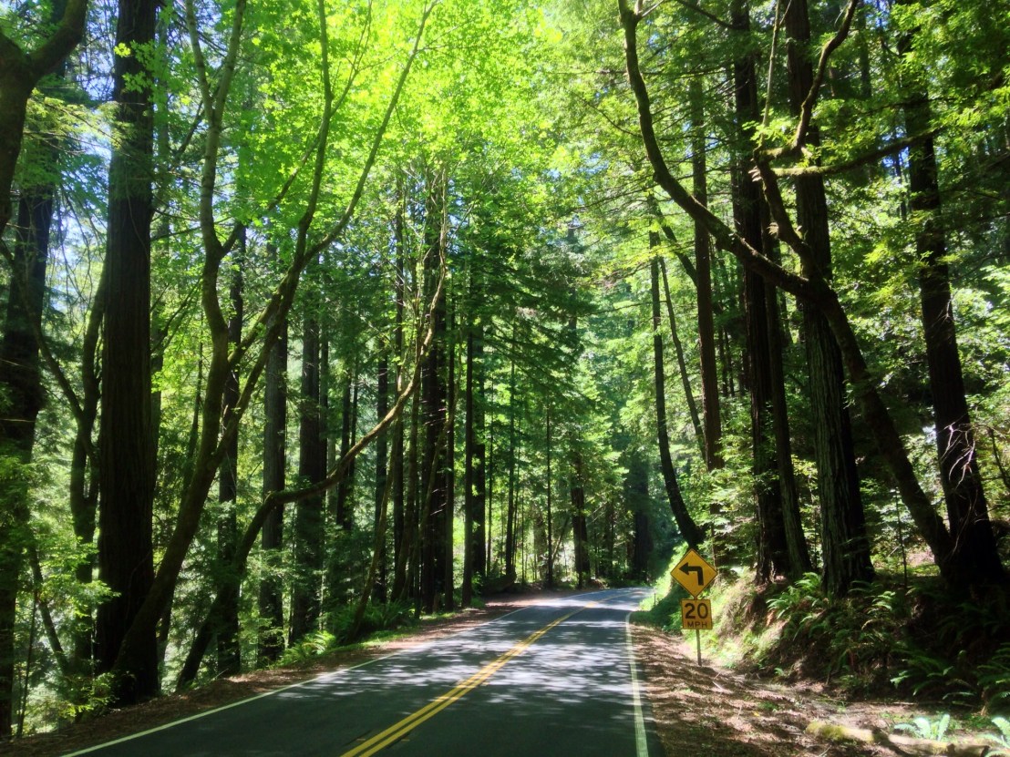
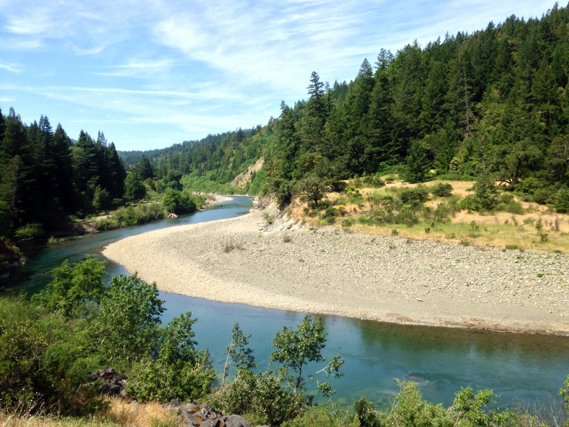
I woke late, but the plethora of flying insects in the campsite had me on the move quickly. Setting off at 20 past 10, I stopped for a hotdog at a garage a mile in. The heatwave appeared to be continuing and the route was largely uphill, through a stunning river valley.
After ten miles, descending a steep slope on the highway, I hit a stone and there was a loud hiss from the front wheel. Dragging the bike off the road, I began repairs. Shortly after, Vincent – who I’d met yesterday – came around the bend. I thought it likely our paths would cross again, as he starts early and gets a move on, whereas I start late and slowly. We chatted while I changed the puncture before he headed off for his final few miles of the day. I probably had 50 still to do.
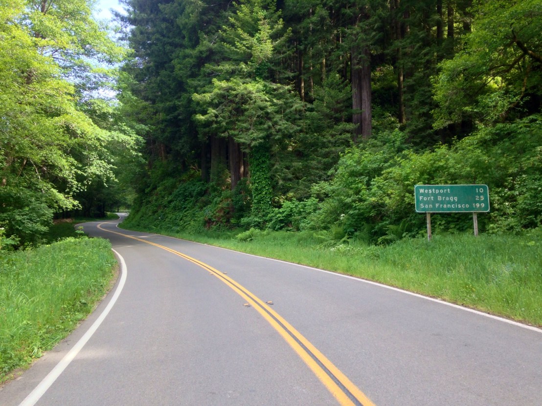
As I began the long climb to the high point of the route, 2000 feet, over Leggett Hill, I joined Highway 1 for the first time, and mileage markers showed it was now only 199 miles to San Francisco.
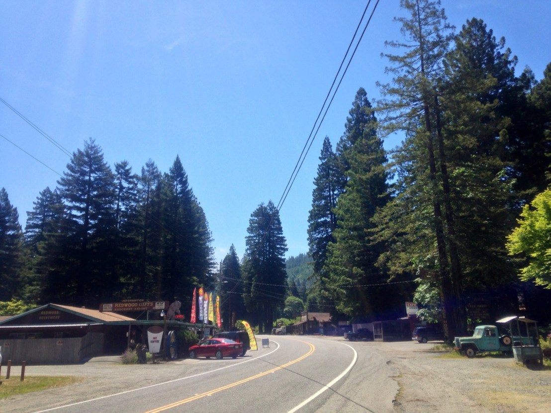
Climbing higher and higher up hairpin bends, it was fiercely hot, and I was drinking a lot of water, for the first time on the route. At 430 metres altitude, I started to get concerned, I had been hoping to stop at Leggett for lunch, surely it wasn’t this high up the road, when had I missed the town? I had a few Peanut M&Ms and a cereal bar to do me until Westport, 25 miles later: and even more concerning, half a bottle of water.
I continued up the hill, reaching the summit at 570m, then dropped quickly down the other side, down a very twisty road. The road continued to rise and fall, and finally climbed a second steeper hill before dropping back to the coast 10 miles north of Westport. It was cold, breezy, and foggy, so completely different from an hour ago. My lack of water, suddenly not a problem.
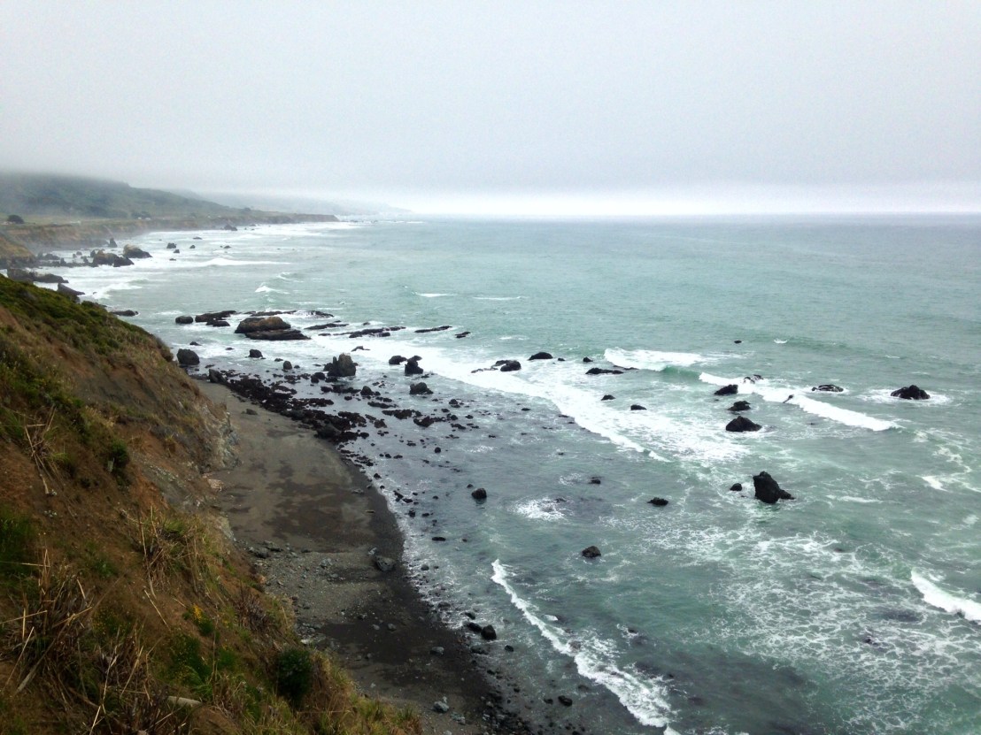
The climbing didn’t stop, however, the road rising and falling steeply along the coast. Eventually, I reached Westport, looking for food. There were 2 closed hotels and a shop. Decision made. Luckily, the shop had WiFi, and sold burgers, sandwiches, and ice creams. I bought quite the picnic, before finding a stool and sitting in the corner gorging myself and frantically uploading posts that had been waiting on my return from the wilderness of the Redwoods.
It was another 12 miles to final destination, MacKerricher State
Park, with some steep hills along the way. Stopped on one slope, a 4×4 driver pulled over to ask if I was ‘happy riding on’. It was a gloomy evening, but only half past 7, so plenty of daylight yet!
Arriving at 8 o’clock, I set up camp. Soon after, another cyclist showed up, Mark from New Mexico. He’s heading north from San Francisco, up to Vancouver and then East across the country. A long trip, and he was just getting started.
I had undoubtedly finished one of the toughest days of the trip. Although only 58 miles, the climbing was significant, and, hopefully, it shows I’m in good shape for the weeks ahead.