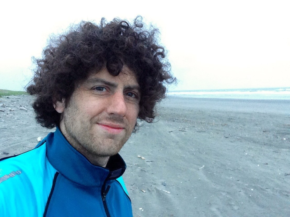
Day 11: Bay Center – Astoria (OR)
Distance: 37.40 miles.
Time: 3:40.
Average Speed: 10.2 mph.
Rain was forecast for the day, so I planned to eschew unnecessary scenic diversions and make straight for Astoria, in my next county, Oregon. Before I left the campsite, I was warned not to try and cycle across the Astoria bridge – by a couple whose daughter and son-in-law had cycled the coast themselves – recommending putting the bike in the back of a truck. As I pedalled away, the man kindly offered me a lift to Astoria as they were heading that direction, I politely declined. 5 minutes later, as they passed me battling with my waterproofs during the first of many heavy showers, they repeated the offer. It was tempting.
The rain soon cleared, but a dark sky loomed ominously all day, waiting to strike. By 12 miles I was drenched. At 20 miles, it was dry again when I stopped at a drive-thru coffee kiosk, but the rain had started again by the time I received my order and it wouldn’t stop again for the rest of the day.
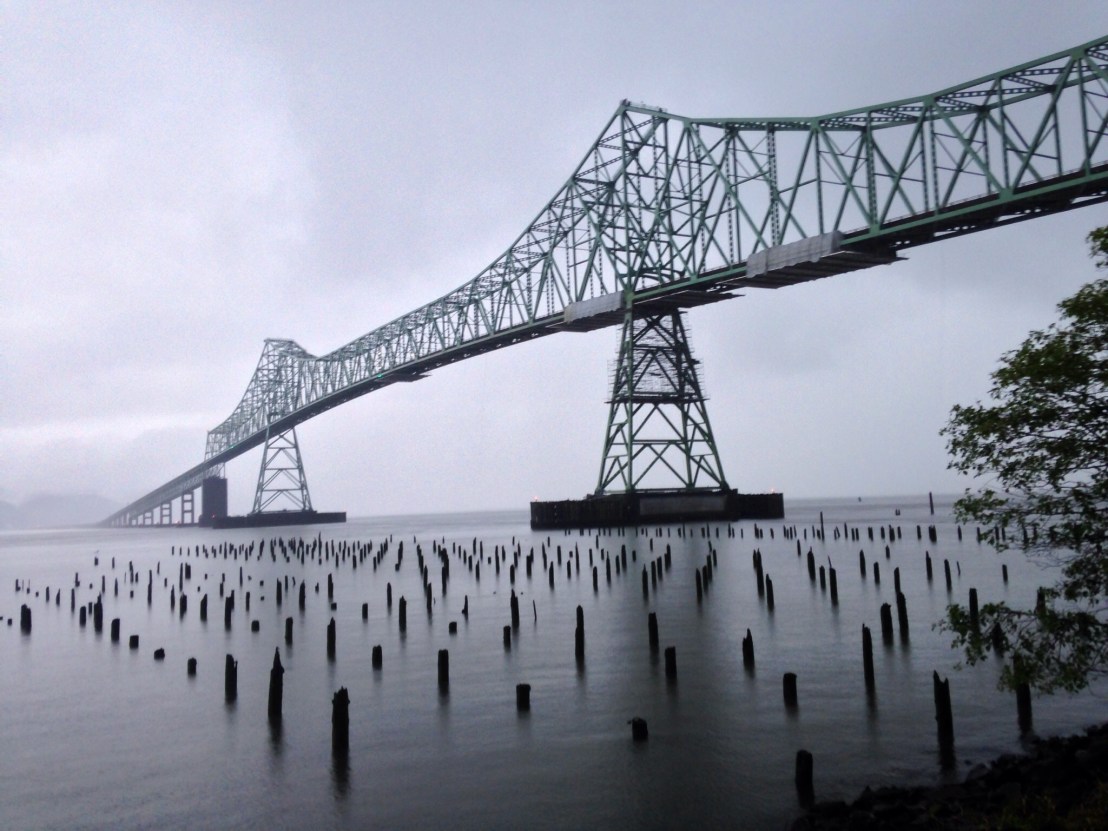
I could barely see the Columbia river when I reached it, and the other end of the Astoria-Megler bridge disappeared into the mist. Setting off across the bridge, I heeded the advice of the guide book, not to stop until the other side. Easier said than done when it’s 4 miles long, into a fierce headwind, with a foot and a half shoulder and trucks thundering past. I checked into Motel 6 right beside the bridge utterly drenched.
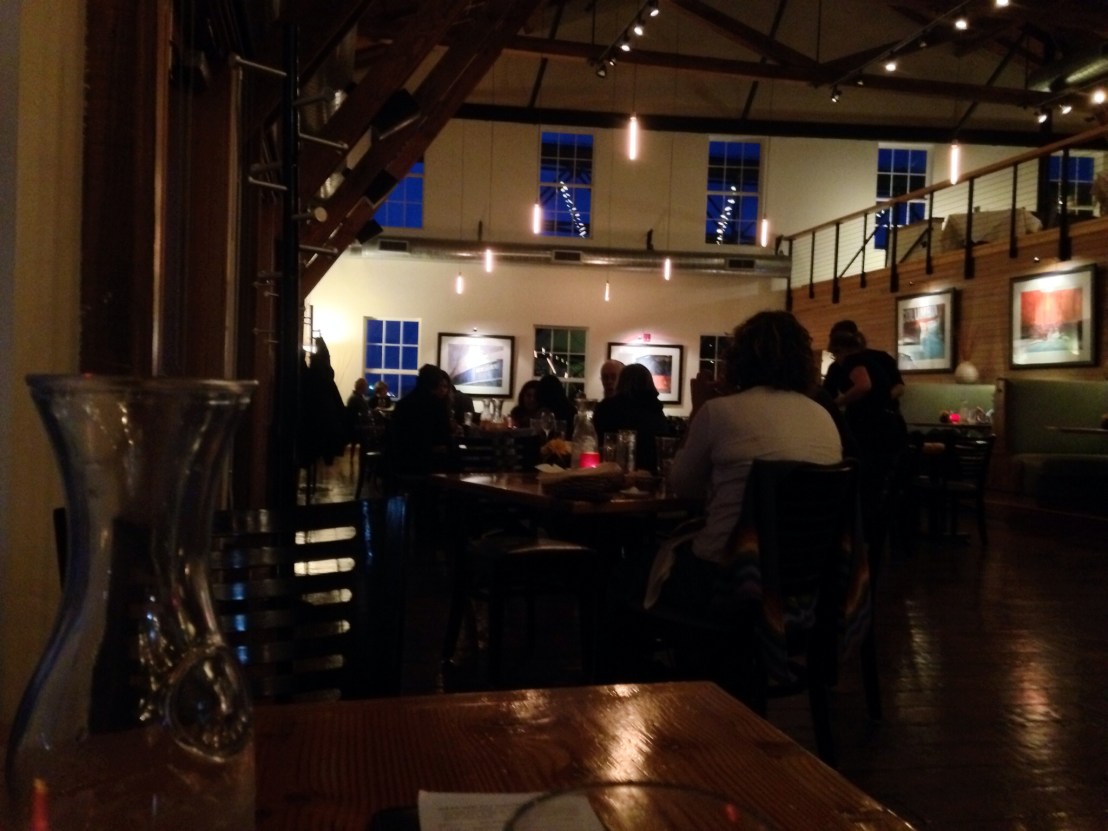
After drying off, I enjoyed dinner in the beautiful environs of the Bridgewater Bistro, serenaded by a virtuosic fingerstyle jazz guitarist.
That’s the British Columbia and Washington State sections of my route concluded, covering 531 miles in 11 days, and now I set off down the Oregon Coast!