Distance: 43.44 miles
Time: 4:18
Elevation Gain: 2,846 feet
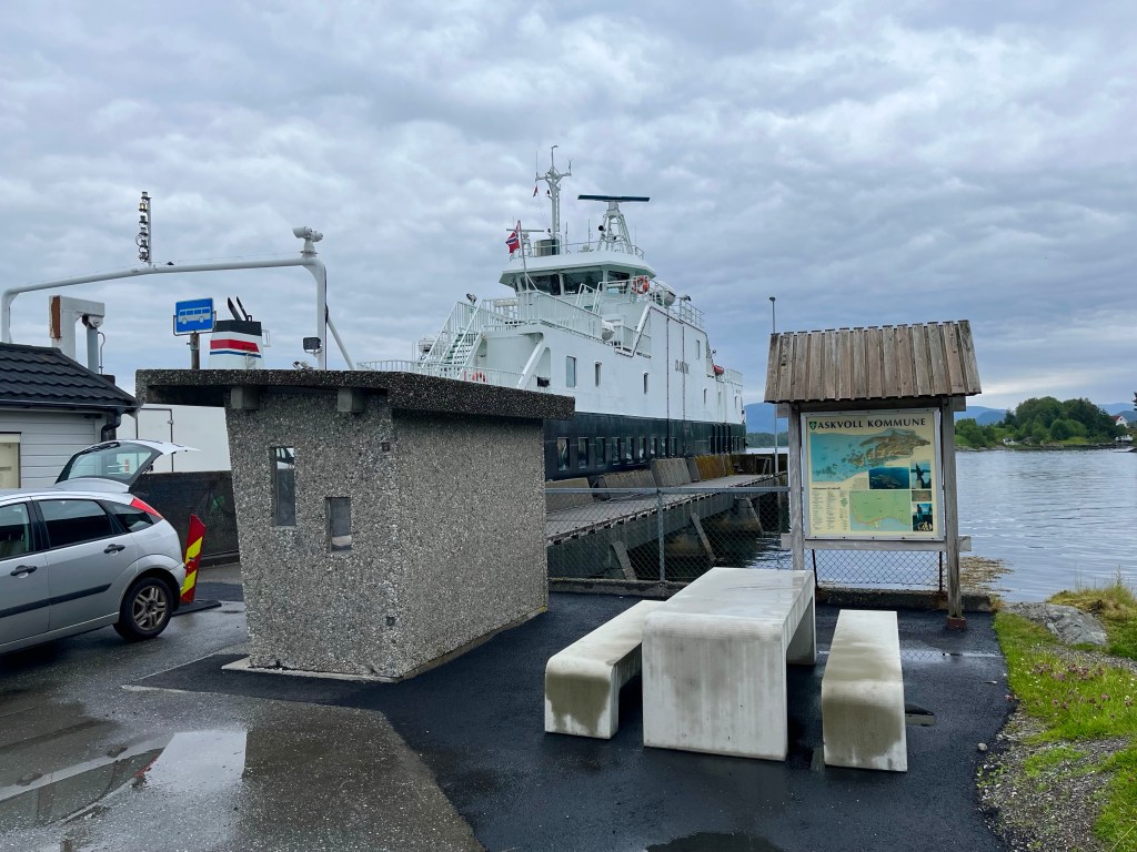
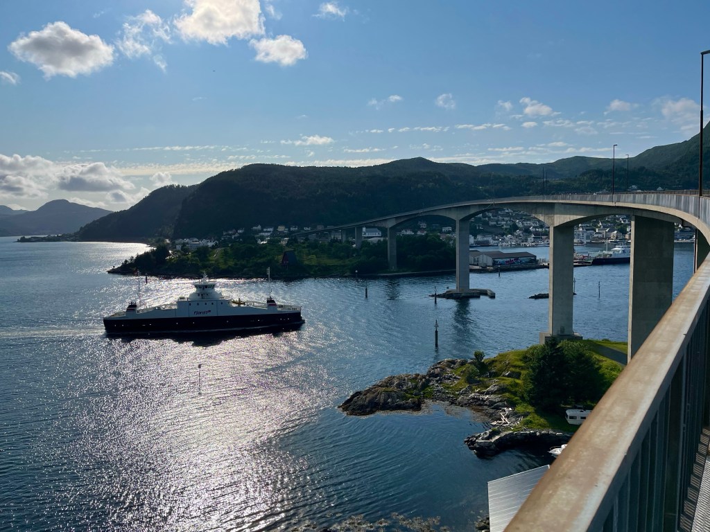
I rushed to pack before heading for the ferry to Smørhamn, arriving at a much larger port than I was used to and not quite sure where the boat would appear. Suddenly, I saw a large high-speed catamaran pulling in near the terminal, so rushed to have a look. When I saw that its destination was Frøya, I thought it must be the wrong boat, until I realised that, although the port of Smørhamn was on the island of Bremangerlandet, it was very close to a causeway to Frøya, so I joined the queue.
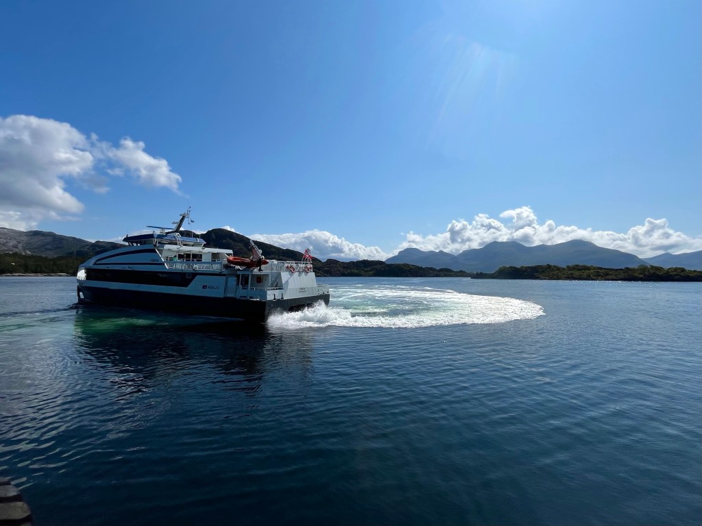
The ferry had me across the sound in no time, and I took a little time to soak in the surroundings on what was a beautiful day. A fellow cyclist from Austria, Peter, arrived and we tried to figure out when the next boat would be going the other way. Peter had started out from Nordkapp, 2 and a half weeks before, and was really going some, covering 150 km a day.
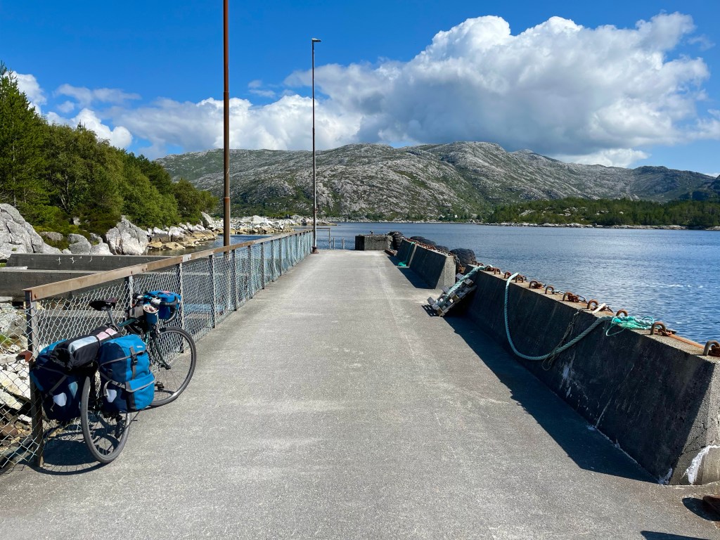
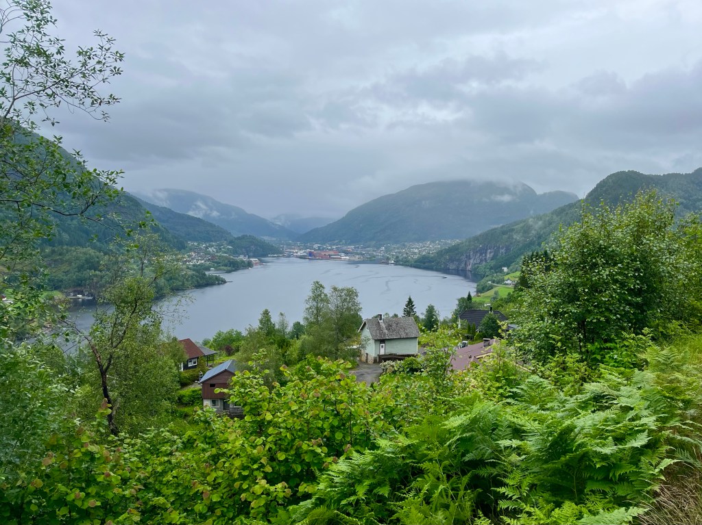
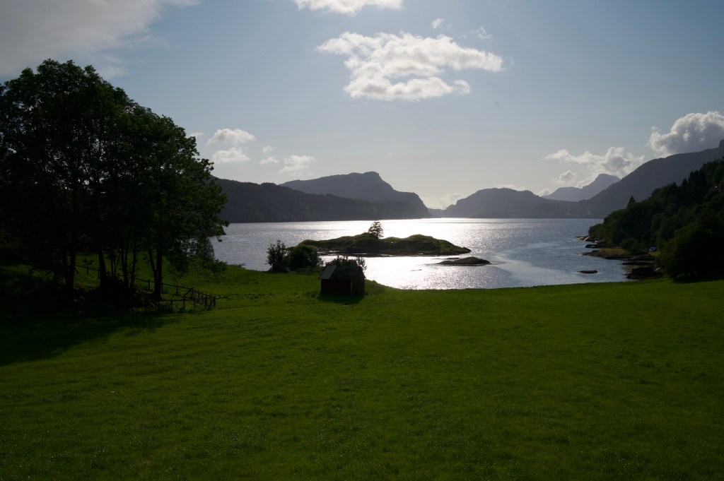
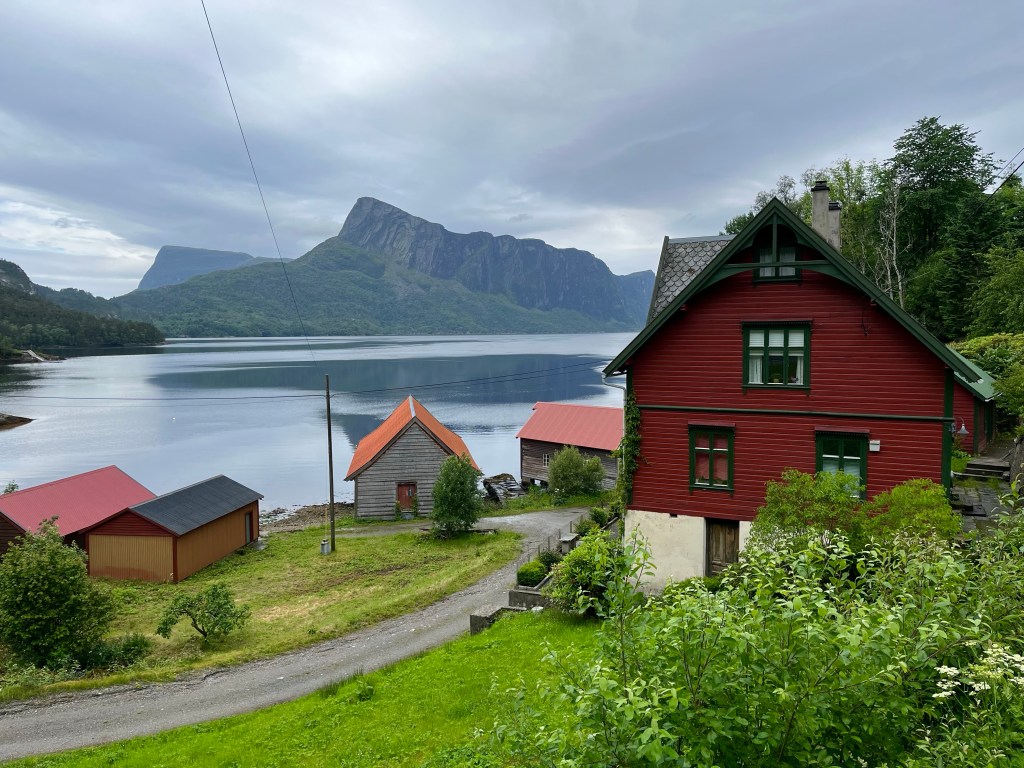
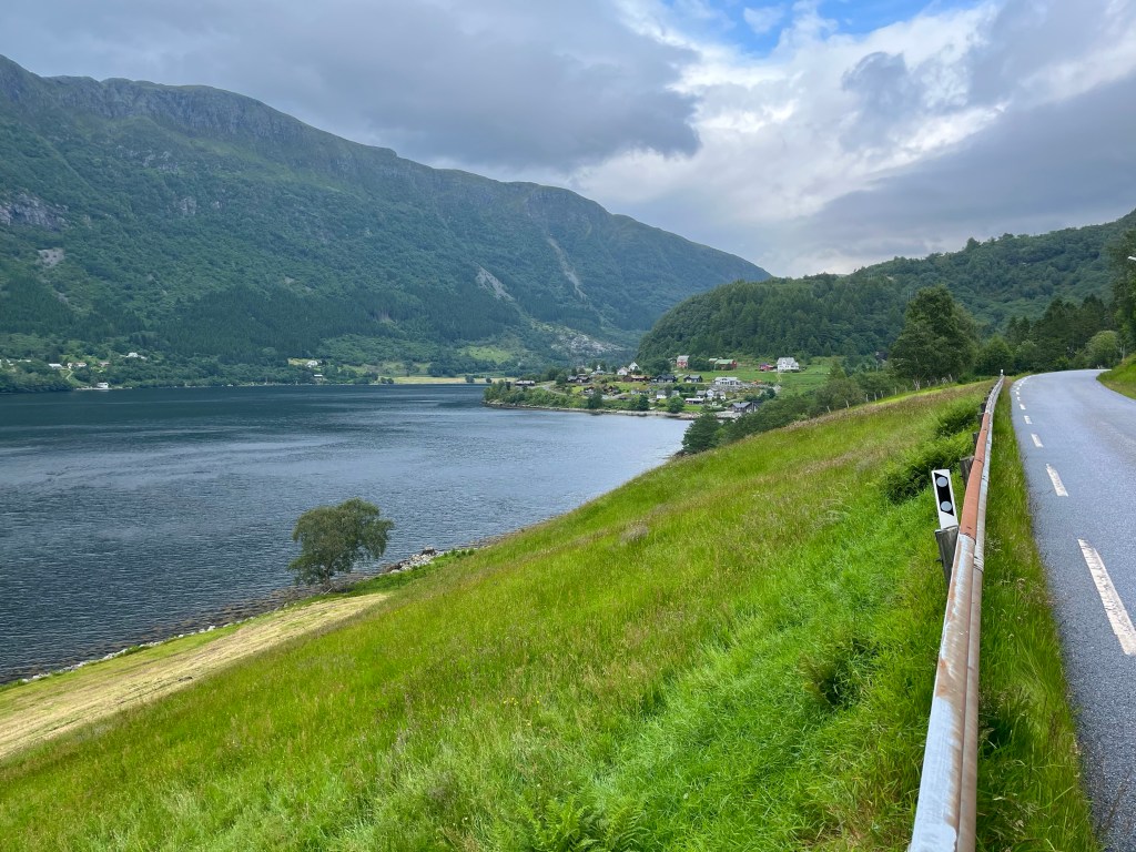
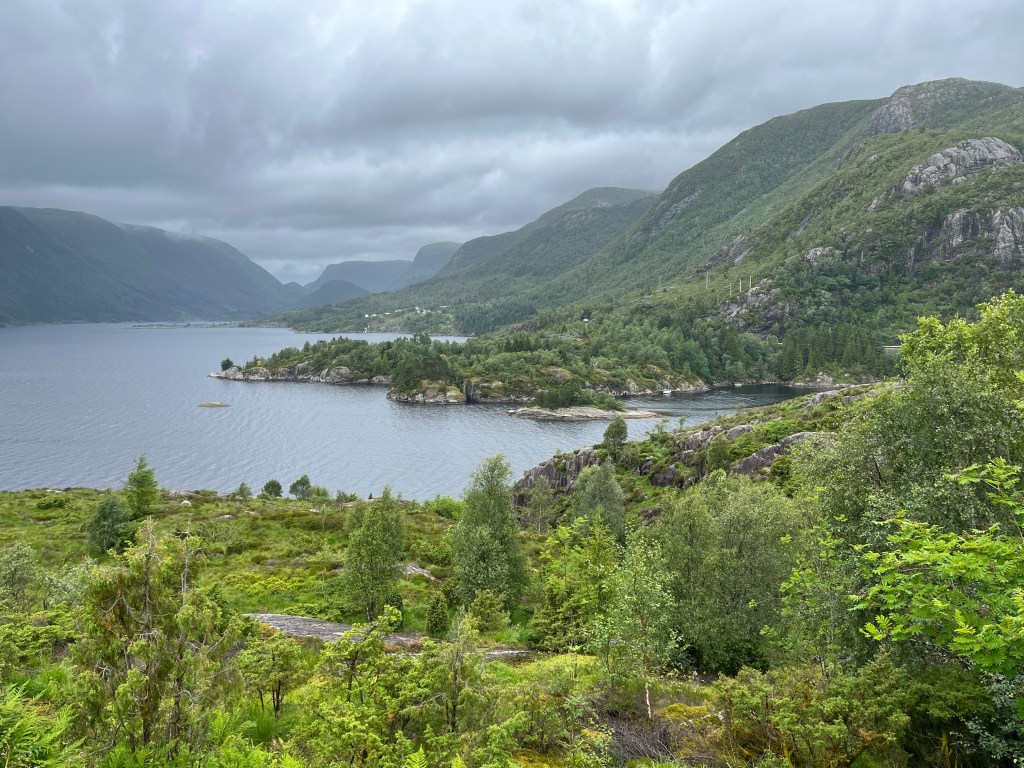
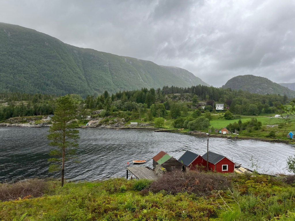
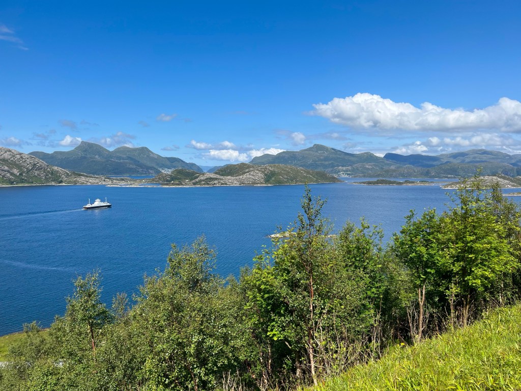
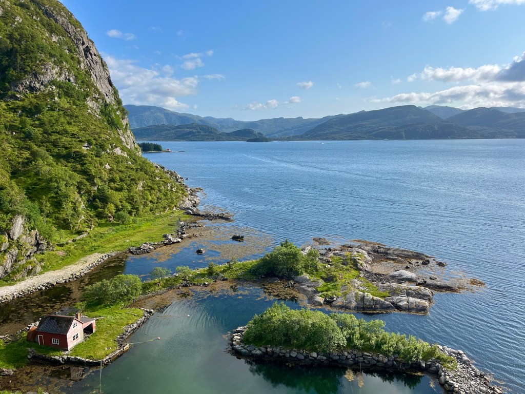
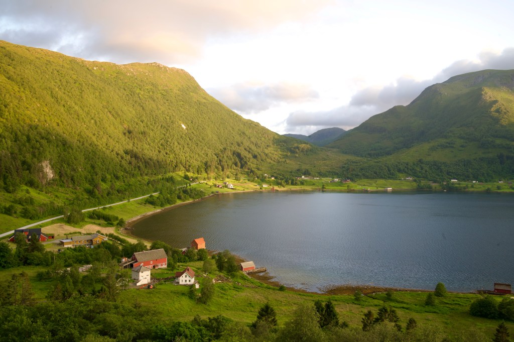
The road across Bremangerlandet was one of the most stunning I’d ever ridden, and for the most part it tracked the edge of the waterline of lakes and fjords while mountains loomed above. Soon, I realised that the ferry off the other side of the island was a little earlier than I was thinking, but that I might just make it if the road remained flat…


But with 2 miles to go the road turned a corner and started to rise, into a headwind, and I knew the game was up.
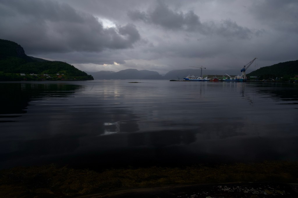
Emerging from the tunnel at the top of the climb. I could see the boat had already set off, and a few minutes later I was at the pier, with an hour and three quarters to kill.
Finding a kebab shop in Måløy, I took on a few calories, before heading to the supermarket to stock up for an evening in the saddle. Some granola, yoghurt, cinammon flavoured lefse (Norwegian flatbread) and a Skolebrød (sweet bread roll topped with custard and icing), being some of the items now commonly found in my panniers.
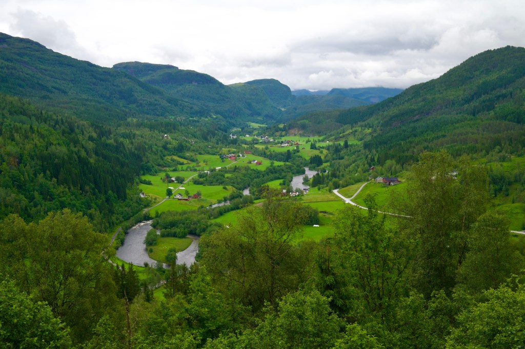
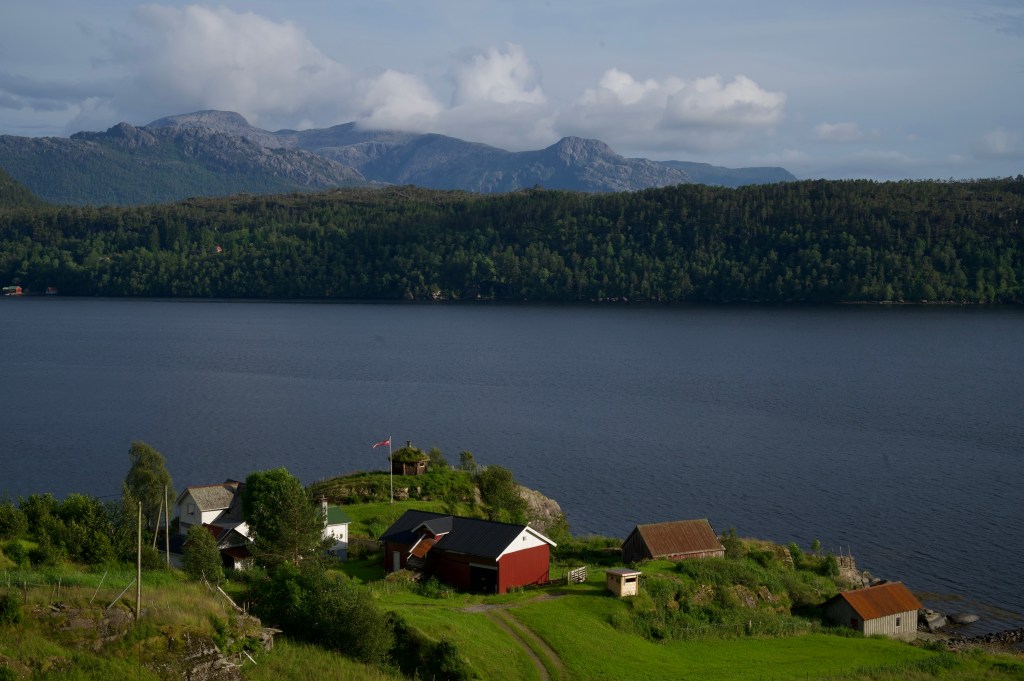
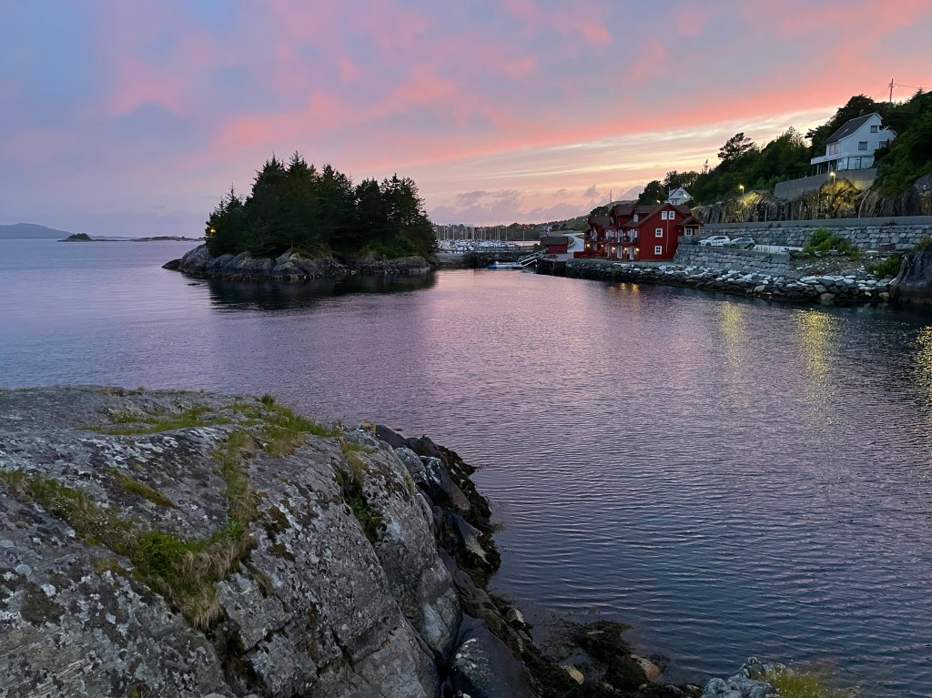
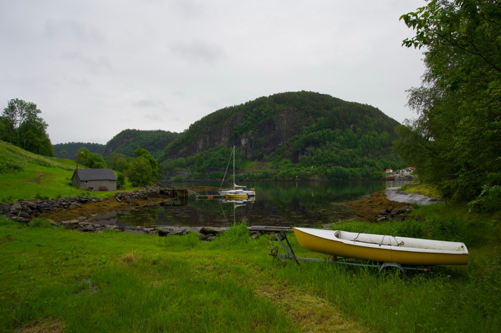
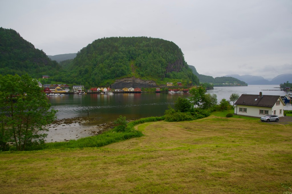
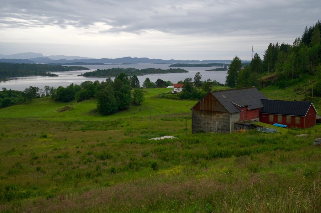
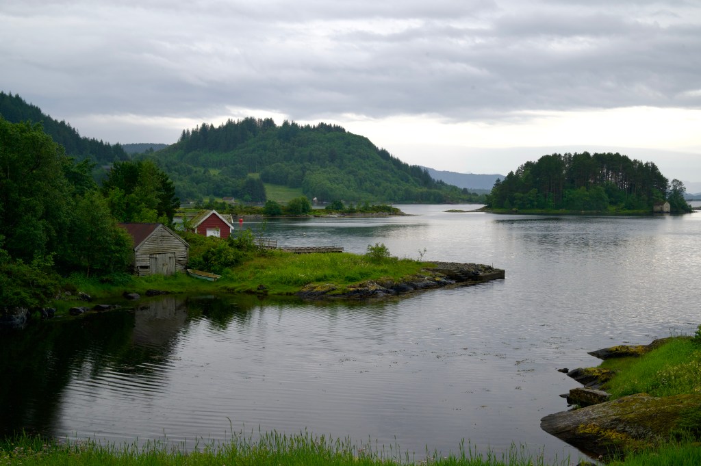
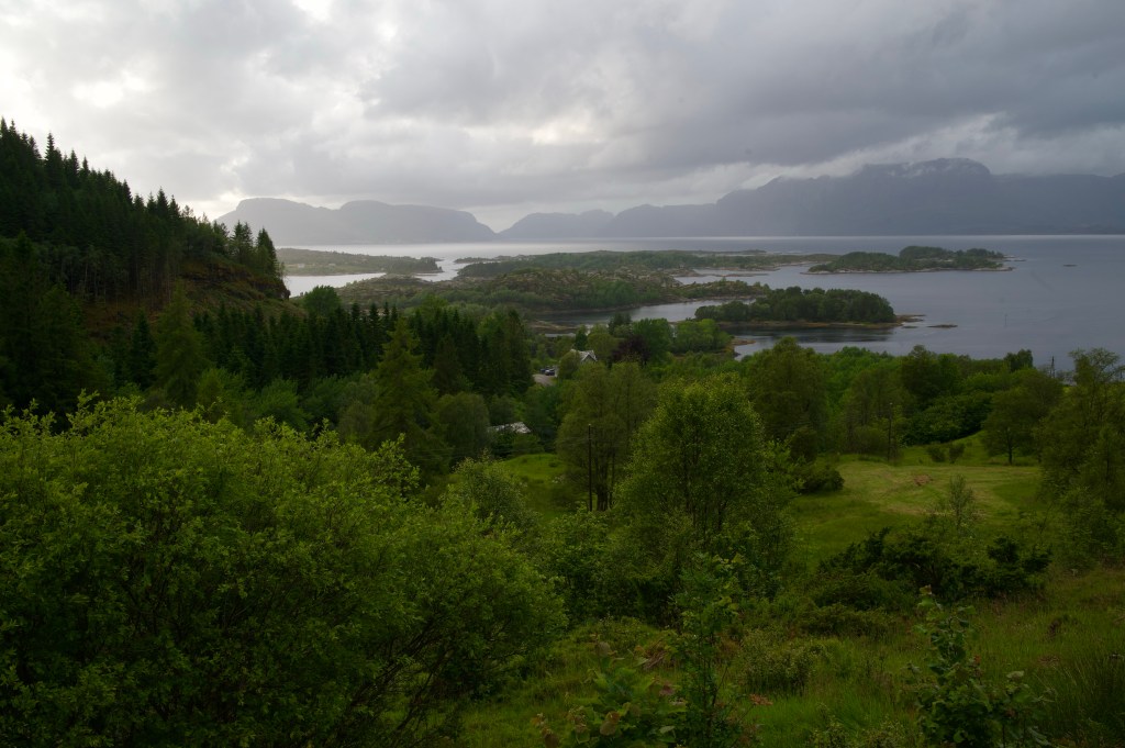
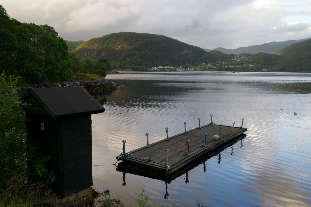
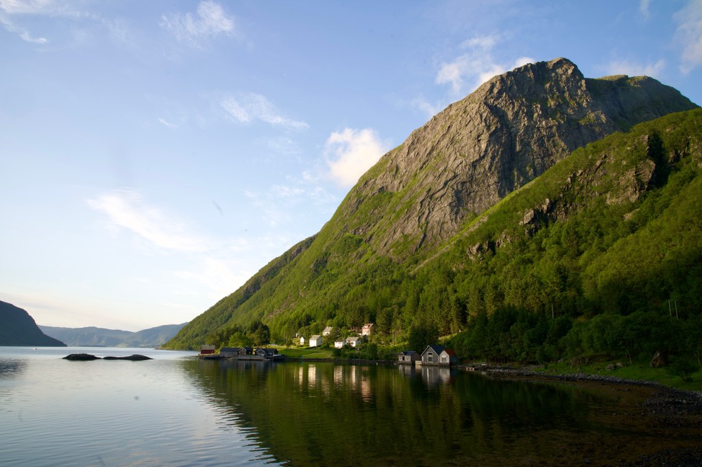
At half past 6 I set off across the sweeping bridge out of Måløy, all set for a night in the fjords. The going was good, with long flat stretches and quiet roads. There was little activity in any of the small settlements that lined the route, the harbour at Flatraket being the exception, with a small motorboat heading out to sea.


For the last hour or two of the day, I was scouring the landscape, looking for anywhere that might give the impression that it would make a suitable camping spot.
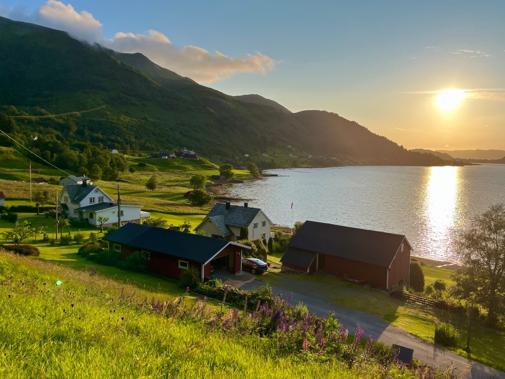
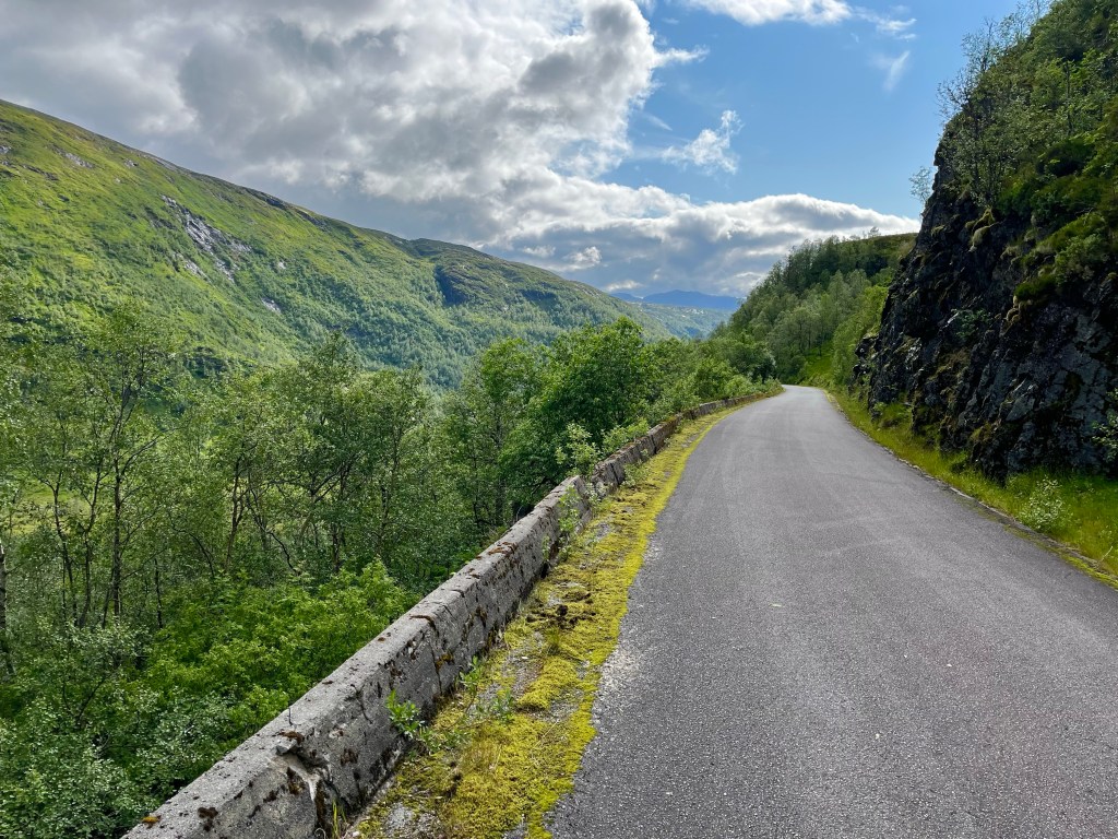
With no such luck, I was quickly approaching the hill up and over to Aheim, and it was nearing 10 o’clock. I was concerned that starting up the hill would be a non starter as it would be windier and that would be a problem for my compromised tent.
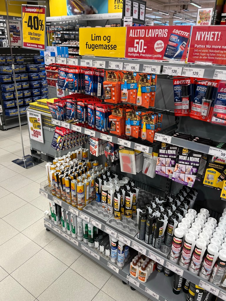
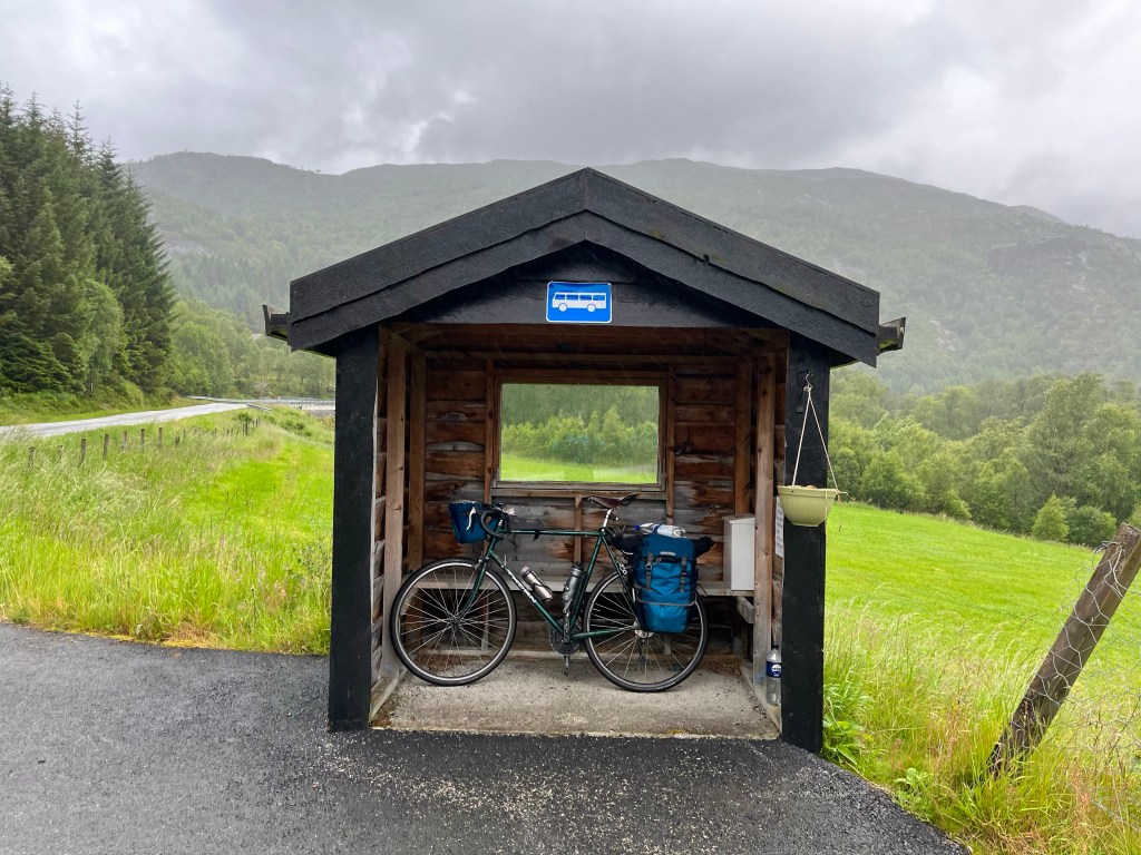
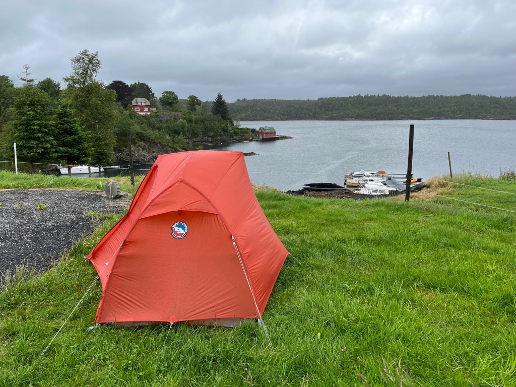
But, Komoot had a possible solution, a user had marked a point at the top of the switchbacks that was out of sight of the road, so I took the chance, and on arriving there thought it was perfect. It was a flat area on top of an old road that had now been overcome by vegetation, and there was some protection from the wind, so I quickly built up my tent, lashing the broken joint with glue and tape, and hoping it would hold the night.
Just beside the tent, there was a handily placed picnic bench, just waiting for me to set up my stove, but wait, what was that? Oh, the midges…