Waking at my resting point, on a disused road hairpin, I was put off from going outside by the astonishing number of midges silhouetted against the fabric of the tent.
Finally, braving the potential onslaught, I headed out into the world, surprised to find that the midges had suddenly vanished, probably because the rain was about to start.
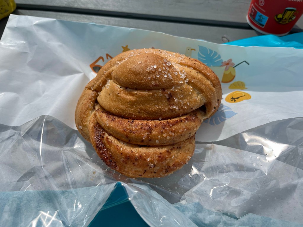
After I’d polished off the rest of the climb from Eide, I then dropped down to Vanylsfjorden, before stopping at the Joker shop in Åheim, availing myself of the free coffee. I also picked up a Kanelknute (cinnamon bun), surprisingly the first I’d seen in a supermarket since Oslo.
I carried on around Syltefjorden to Fiskå, where the road turned inland, and started a long drag, not made easier by the hot sun.
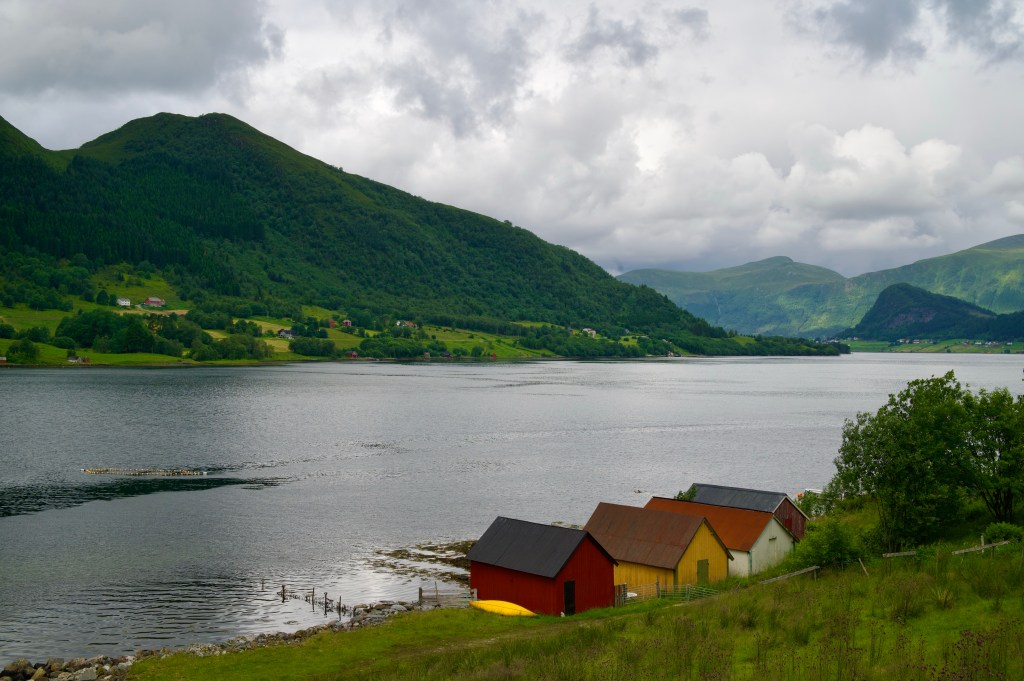
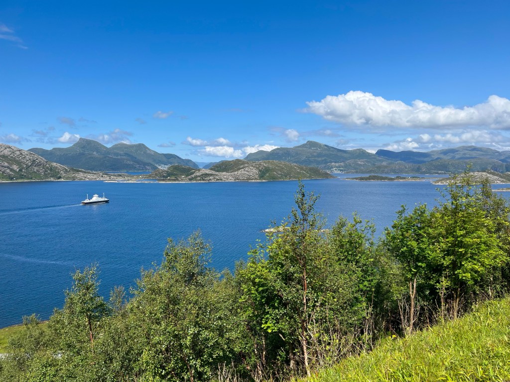
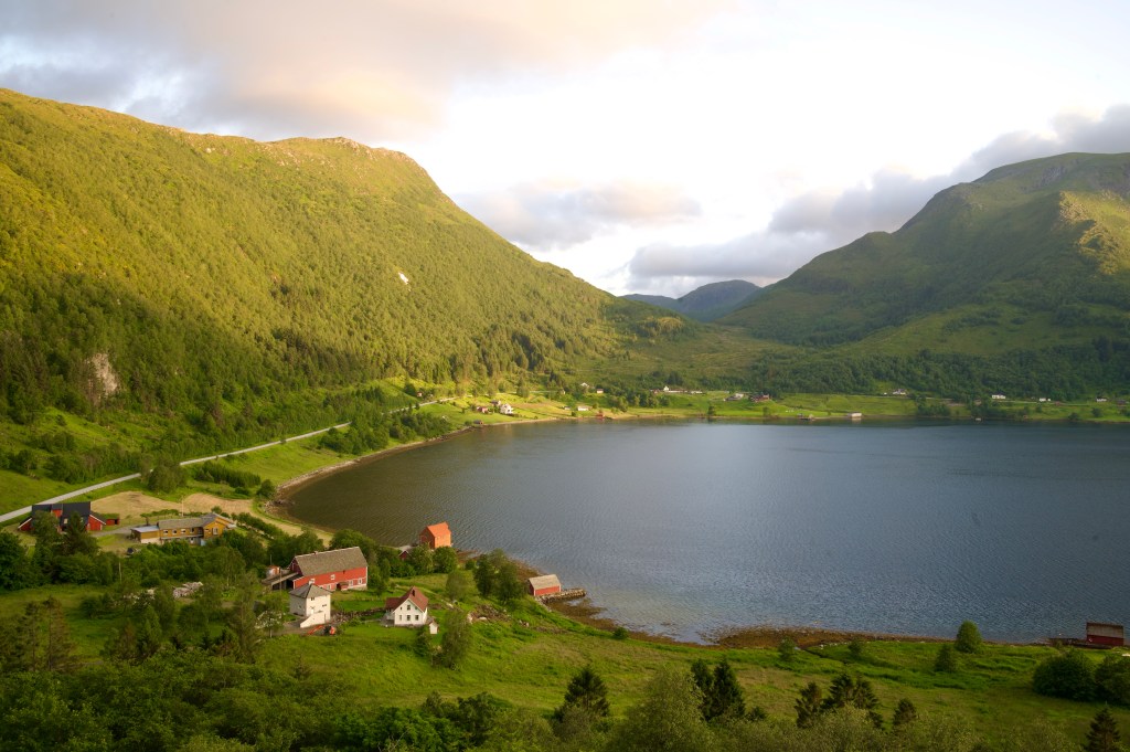
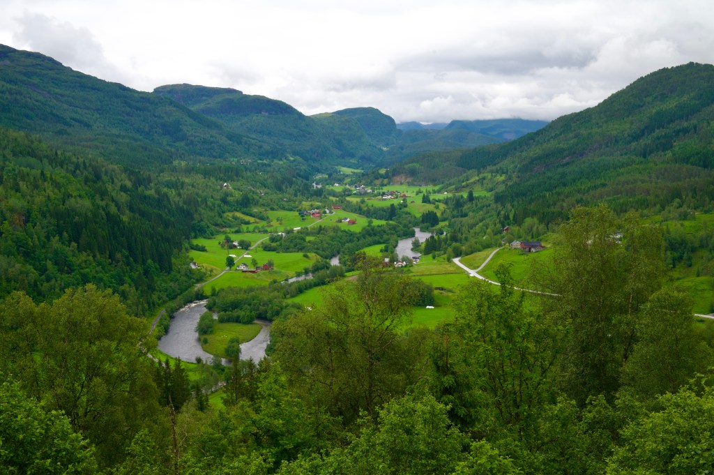
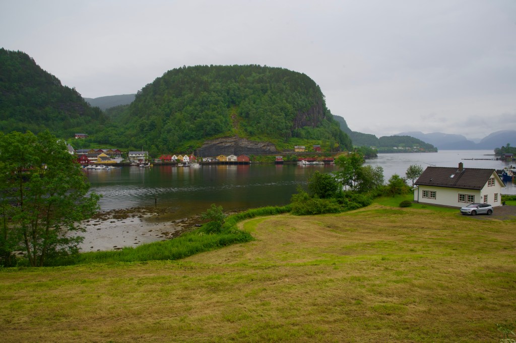
Dropping down to Syvdefjorden, the fantastic mountain scenery, and the light tailwind along this stretch, eased my passage to the next ferry over to the island of Gurskøya.
After stocking up on energy – in the shape of a bacon cheeseburger from the petrol station in Larsnes, I kept on until Dragsund, where, even though I’d covered a relatively low number of miles for the day, I was disappointed to find no campsite where I expected one.
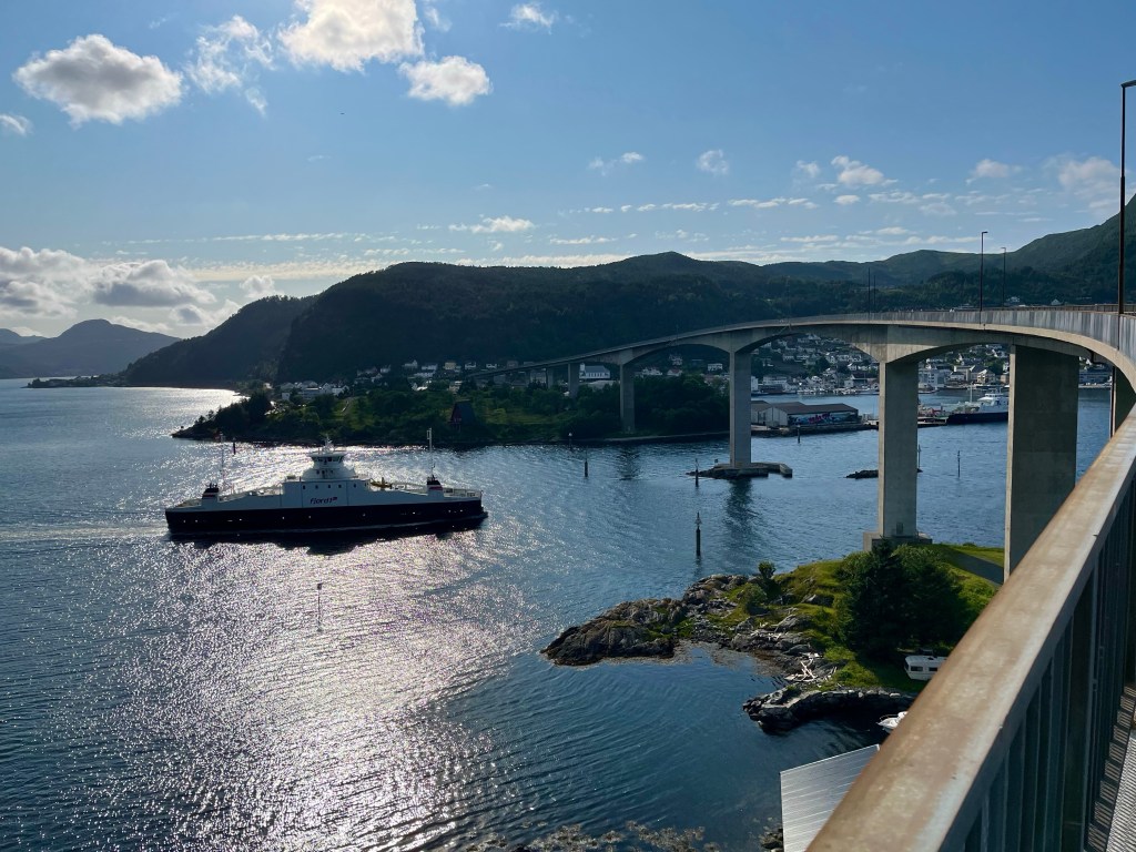
Feeling unmotivated in the low evening sun, I had a choice, drop down into Ulsteinvik, and hope there were toilet facilities near the beach, or push across the island to the large port town of Hareid, a definite chance to find some facilities, charge my phone, and if I made it in 45 minutes, the 22:30 ferry to Sulesund.
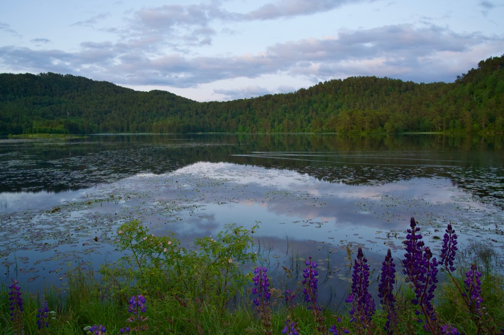
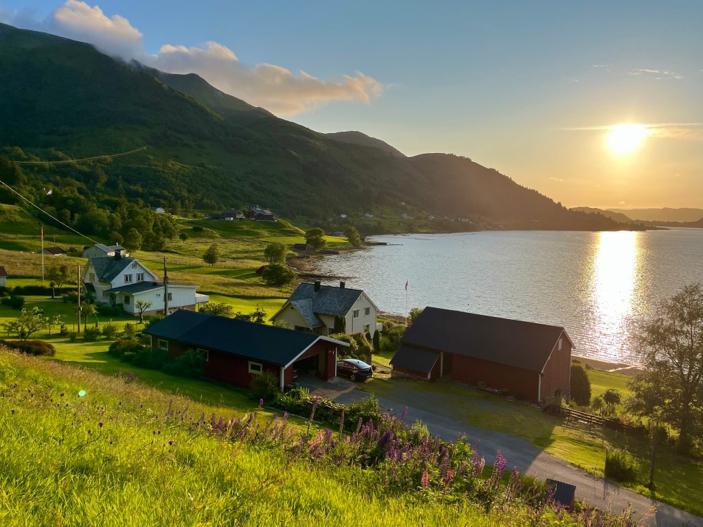
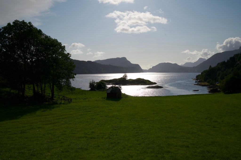
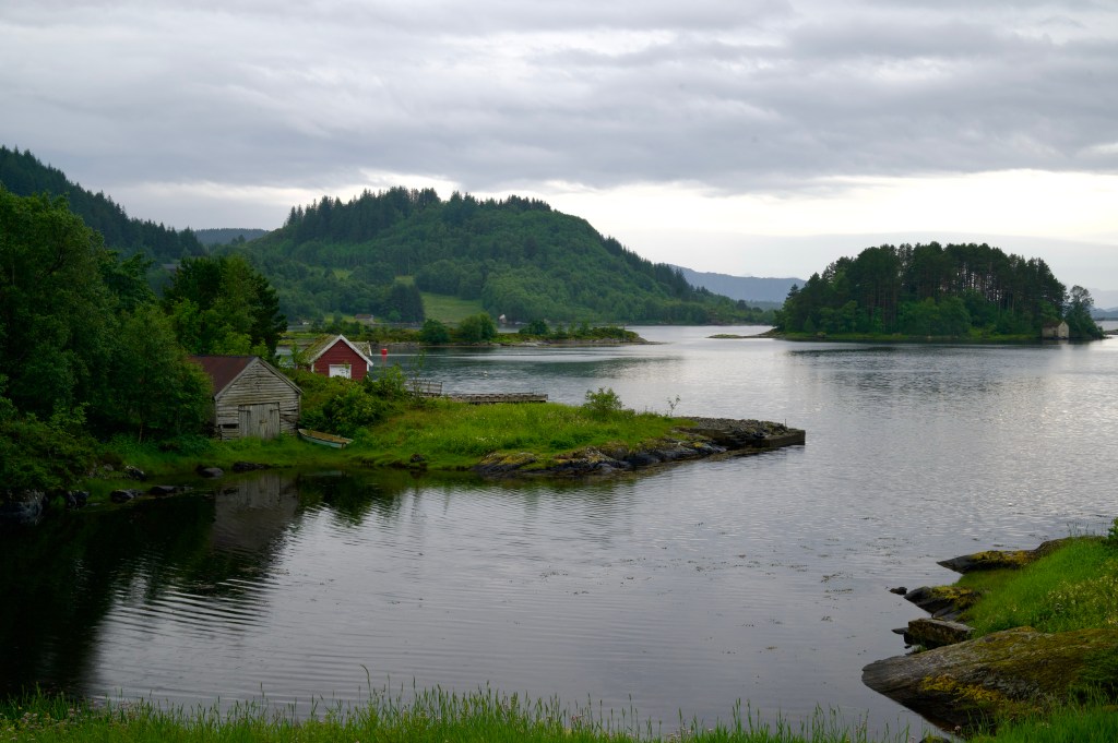
On exiting the ferry, I was dismayed at just how steeply the tree-covered landscape of Sulesund dropped to the sea, this was not the wild camping Mecca I’d been hoping for, but, 4 miles later, I was confronted by a stunning lake, and on its shore, a flat green haven, just waiting for a tent.
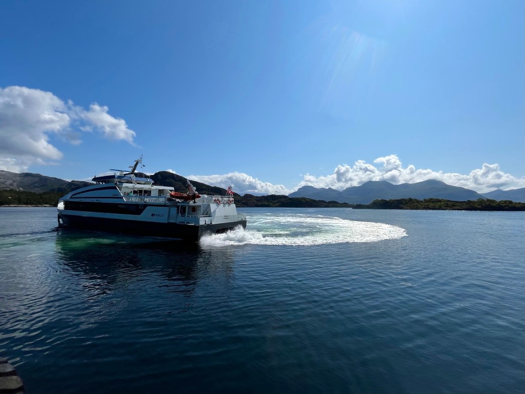
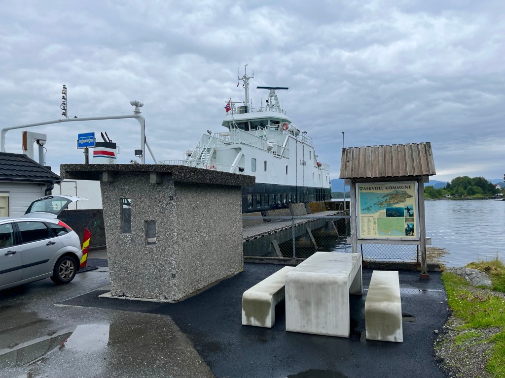
I rushed to pack before heading for the ferry to Smørhamn, arriving at a much larger port than I was used to and not quite sure where the boat would appear. Suddenly, I saw a large high-speed catamaran pulling in near the terminal, so rushed to have a look. When I saw that its destination was Frøya, I thought it must be the wrong boat, until I realised that, although the port of Smørhamn was on the island of Bremangerlandet, it was very close to a causeway to Frøya, so I joined the queue.
The ferry had me across the sound in no time, and I took a little time to soak in the surroundings on what was a beautiful day. A fellow cyclist from Austria, Peter, arrived and we tried to figure out when the next boat would be going the other way. Peter had started out from Nordkapp, 2 and a half weeks before, and was really going some, covering 150 km a day.
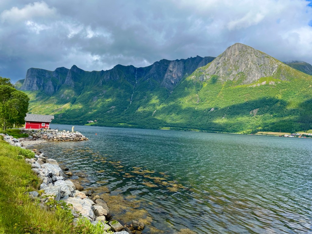
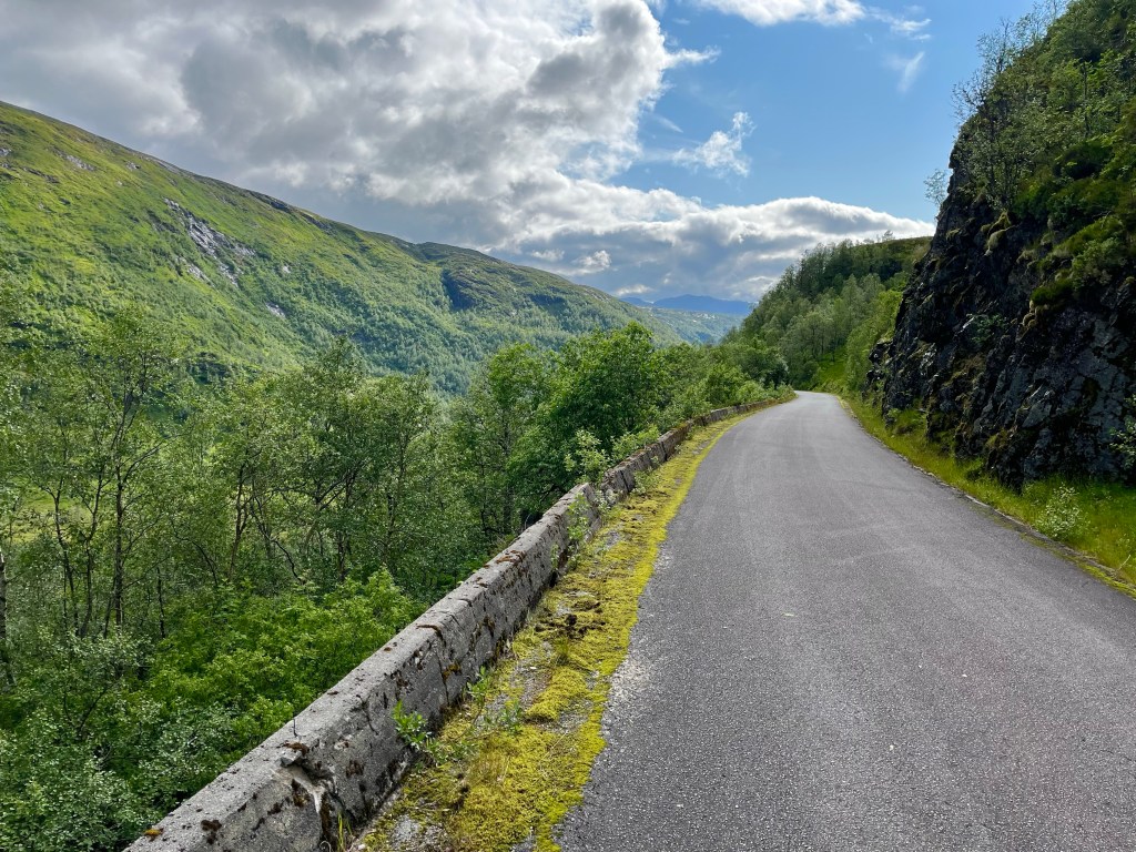
The road across Bremangerlandet was one of the most stunning I’d ever ridden, and for the most part it tracked the edge of the waterline of lakes and fjords while mountains loomed above. Soon, I realised that the ferry off the other side of the island was a little earlier than I was thinking, but that I might just make it if the road remained flat…
But with 2 miles to go the road turned a corner and started to rise, into a headwind, and I knew the game was up.
Emerging from the tunnel at the top of the climb. I could see the boat had already set off, and a few minutes later I was at the pier, with an hour and three quarters to kill.
Finding a kebab shop in Måløy, I took on a few calories, before heading to the supermarket to stock up for an evening in the saddle. Some granola, yoghurt, cinammon flavoured lefse (Norwegian flatbread) and a Skolebrød (sweet bread roll topped with custard and icing), being some of the items now commonly found in my panniers.
At half past 6 I set off across the sweeping bridge out of Måløy, all set for a night in the fjords. The going was good, with long flat stretches and quiet roads. There was little activity in any of the small settlements that lined the route, the harbour at Flatraket being the exception, with a small motorboat heading out to sea.
For the last hour or two of the day, I was scouring the landscape, looking for anywhere that might give the impression that it would make a suitable camping spot.
With no such luck, I was quickly approaching the hill up and over to Aheim, and it was nearing 10 o’clock. I was concerned that starting up the hill would be a non starter as it would be windier and that would be a problem for my compromised tent.
But, Komoot had a possible solution, a user had marked a point at the top of the switchbacks that was out of sight of the road, so I took the chance, and on arriving there thought it was perfect. It was a flat area on top of an old road that had now been overcome by vegetation, and there was some protection from the wind, so I quickly built up my tent, lashing the broken joint with glue and tape, and hoping it would hold the night.
Just beside the tent, there was a handily placed picnic bench, just waiting for me to set up my stove, but wait, what was that? Oh, the midges…
In the morning, I was sitting out a passing shower when disaster struck! In an instant, a strong gust of wind came off the fjord and buffeted the side of the tent, and snap, the piece joining the middle pole section to the legs had been ripped apart and the end of the tent had collapsed.
Suddenly I was fully awake, and at a loss for what to do. The pole could be placed back into the connecting piece by hand, but the screw thread had been completely stripped and it was no longer secure, so susceptible to failure with even lesser winds. I had been right to predict that there was bound to be a weakness in having such a complicated pole design, and the decision to bring the tent had clearly been a mistake given the likely conditions.
While holding the pole together, as best I could, when the wind picked up, I rushed to put on my cycling kit and dived out of the tent, dismantling it as quickly as possible, before having to pack up sharpish to stop all of my equipment getting wetter still. Thinking through my options, it seemed like I might have to, either buy a new tent, or potentially attempt a long distance tent swap at the mercy of the postal service.
For now, though, all I could do was get back on the road and try to surmount the 1500 foot pass currently standing between me and the large town of Forde. Starting off on the lower reaches, it was hard to keep my temperature in check, between the high humidity, the constant precipitation and my waterproof clothing. One positive, was that my legs, which hadn’t exactly been thriving on the bike up until now, seemed to be coping ok on these not too extreme gradients.
After climbing for an hour, the road had plateaued momentarily and I dared to hope that the climb was over, but alas, when I rounded a bend the road veered up ahead, and I came to a sign that seemed to signify that the climb was only really just beginning. This was the point at which trucks were to don their snow chains.
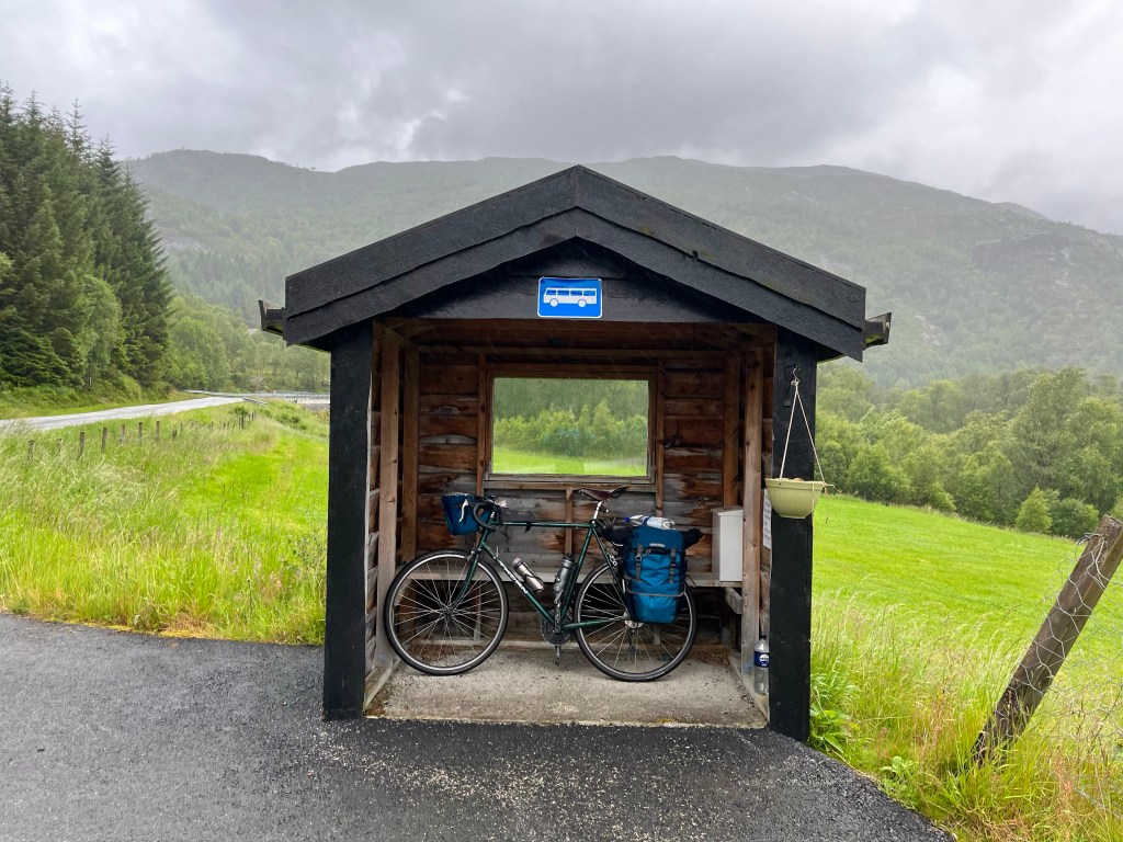
At 7%, the gradient had definitely ramped up and I tucked into a bus shelter to cool down a little and get out of the rain.
Further on, I encountered a herd of cows standing in the road, and hoped they would take averting action before I had to, but the animals wouldn’t budge, appearing to be a little startled to see me struggle so slowly up the hill. Veering out of their way, I gave them a wide berth before catching a glimpse of the the ultimate prize up ahead, a tunnel marking the top of the climb.
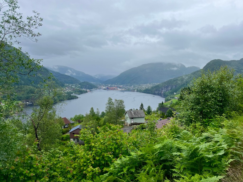
Zipping up my jacket, I careered off down the other side, and soon Forde was in sight, and it was a reassuringly large town, soon facilities might be at hand.
Creeping around the edge of the Fjord through a tunnel now for bikes, I emerged from the wilderness into the middle of the town where it straddled a thundering river.
With my power bank now empty and my phone battery running worryingly low, I had to choose wisely regarding where to eat. Opting for Peppe’s Pizza as a sit in option, I was delighted to find that they had a lunchtime buffet option. Furthermore, when I was shown into a booth with its own power sockets, I knew I couldn’t have picked any better.
Making use of the amenities available, I finally found gas for my stove, and also picked up some superglue and duct tape. It had been suggested to me that I could try supergluing the pole into the connector, and having realised that this would still allow the poles to be folded up the same way as before, then it became a viable option.
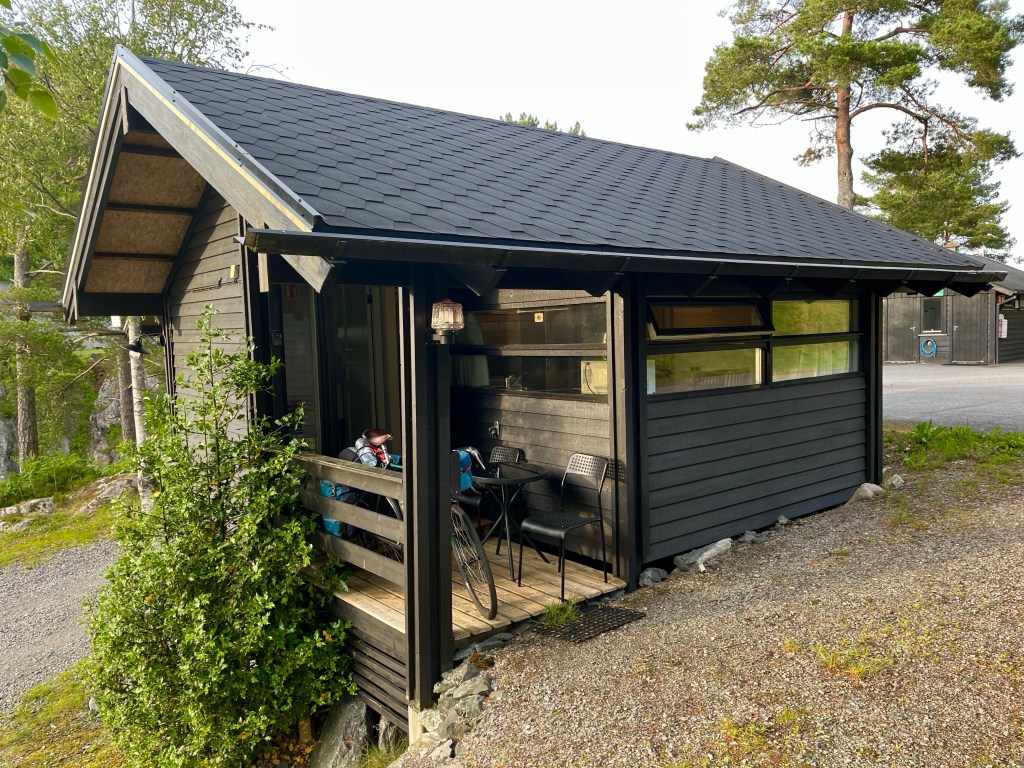
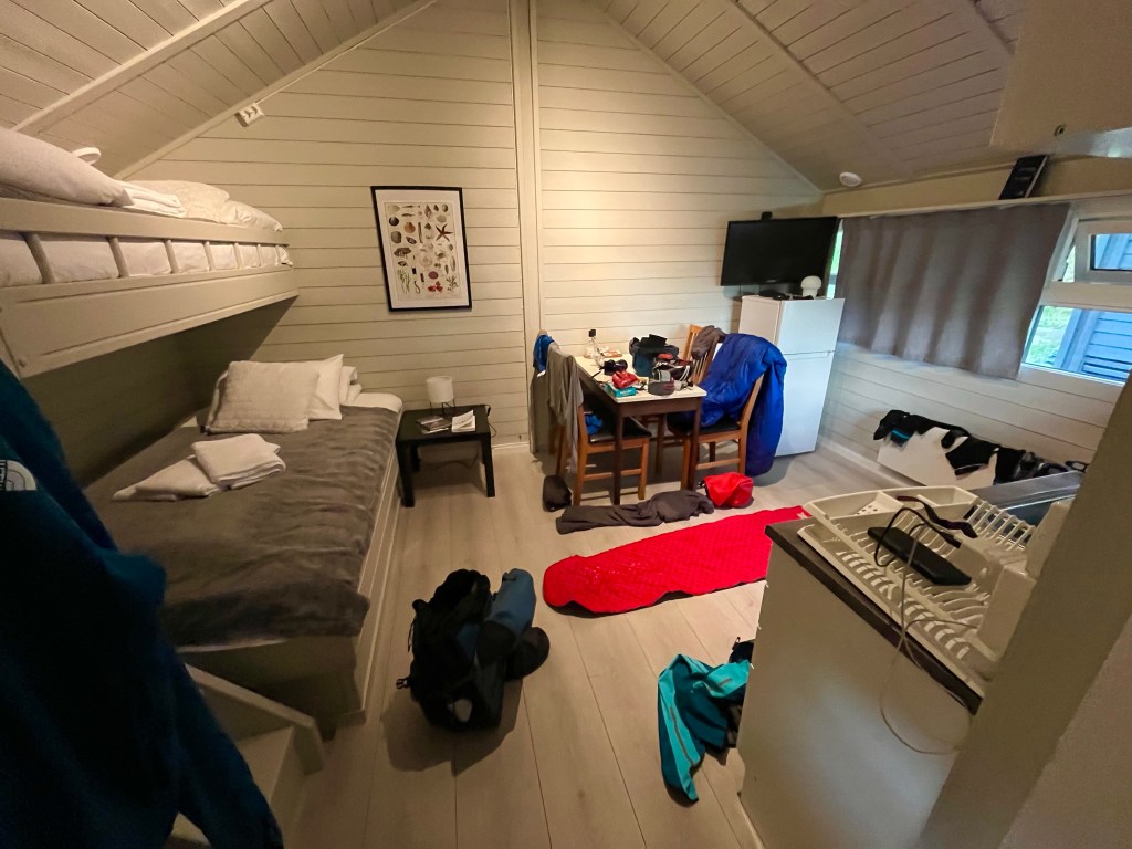
At least having the glue gave me the possibility to try staying in the tent again, but for this evening I’d booked a cabin at Krokanes campsite in Florø. I had a lot of wet kit, and many empty batteries to recharge.
Heading out of town on highway 5, I soon discovered that I wouldn’t be following it all the way to Florø, when the road turned north and through a 6 km tunnel in which bikes weren’t allowed. The route veered off through a charming, and flat valley, before swinging west at the far end and the road started to climb, and climb.
Slightly worried at this development, I checked the route profile for the road ahead and was taken aback. The climb earlier in the day had maxed out at 1500 feet, but this one kept climbing up to 1700. I wish I’d known that when estimating my time of arrival at the campsite.
The climb was long, but the gradients were kind, and in stark contrast to earlier it was now hot and sunny, and with no wind. The lack of wind was a concern, as it probably meant that the wind was on the other side of the mountain and that I’d have a 30 mile struggle along the fjord when I got to the other side.
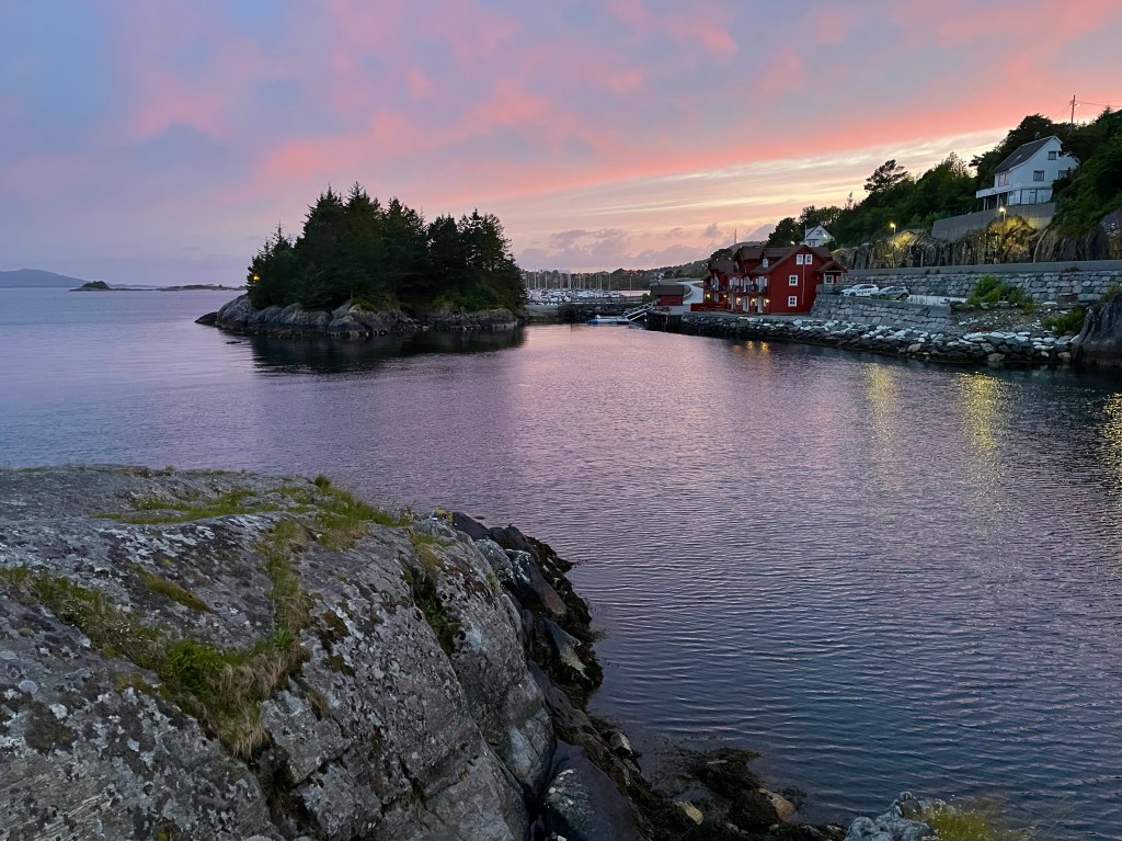
Luckily the breeze was light and the weather was beautiful for the descent down to the fjord at Eikefjord. Pedalling strongly on the flatter gradients it was a lovely evening for cycling, and a relief to make it to the campsite at 20 to 9, with an hour or so before sunset.
I had found a small clearing in a wood to camp in the previous evening, and between the midges and the drizzle, it had made me feel right at home. Trying to find a place to wildcamp in Norway reminded me a lot of the Outer Hebrides in Scotland where I did my first solo cycle tour. In theory, wild camping was allowed, but could you actually find somewhere that you could pitch a tent in amongst the unsuitable terrain, and the already utilised crofting land.
I was pleased to get away from the sodden campground, and make my way into Leirvik to the supermarket. It hadn’t escaped my notice that the previous day I had arrived into Leirvag and today I was in Leirvik, they sounded suspiciously similar to the capital of Shetland, Lerwick, and indeed they were formed from the Old Norse root for clay bay.
Already at the shop was another cyclist – who I’d seen get off the previous night’s ferry – and must have also camped out somewhere along the same stretch as me. This was Jakob, he was from Bergen and he had just started a month long holiday, with the rough plan to head to Trondheim, and then when he got there, decide whether to go north or south from there. He had sat out the worst of the storm by starting the day after me, and had also skipped the same section the day before. His justification for trading a 40 km section, for an 8 km one, was that ‘he thought he’d see enough nature’ anyway. I agreed completely.
I asked if there were any other parts he was planning on skipping, to which he mentioned a section, but I didn’t recognise the names. Later, I worked out that he probably meant he was planning to skip the whole next section, which featured a huge dogleg west, then a similarly huge dogleg east. Skipping that might have been a good idea!
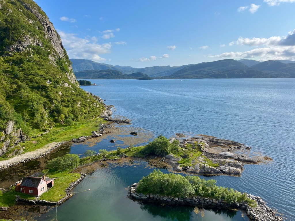
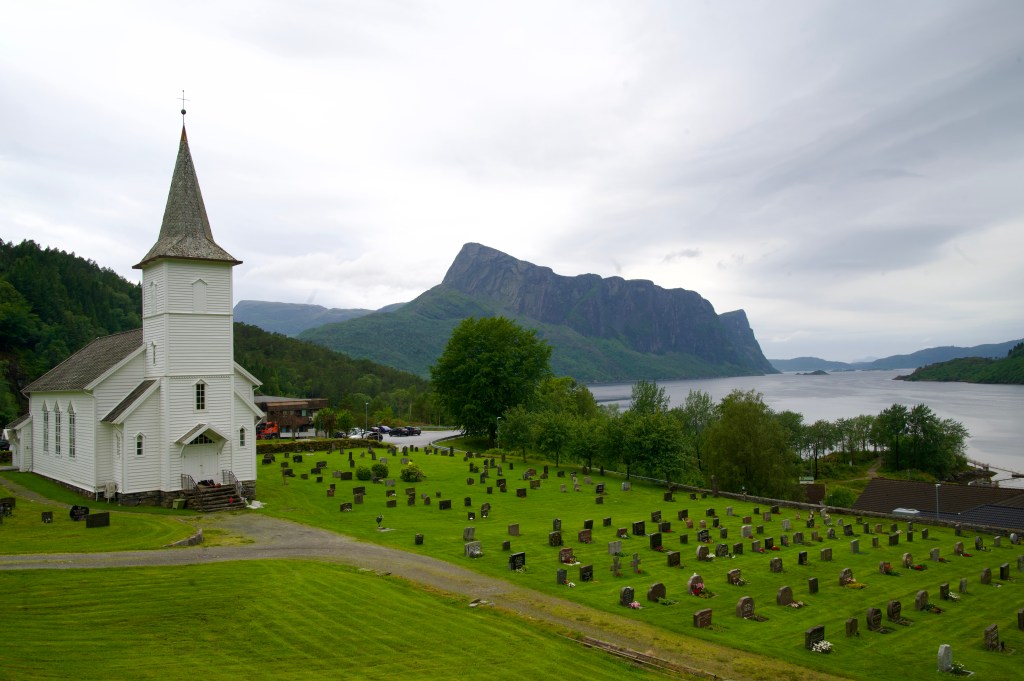
But, I’d chosen the scenic route, and to be fair, the start of it was extremely picturesque, with the road climbing over to stunning Hyllestadfjorden and dropping down through Hyllestad, with its exquisitely positioned church.
Headed west along the side of the fjord, I was feeling strong, which could only mean one thing, I had a tailwind, and the fact that I’d be cycling at least as far in the opposite direction later wasn’t lost on me.
Looking up the ferry time for the Fure to Askvoll ferry, I realised the next one was some time off, at 15:50, so I dawdled a bit in the realisation that I’d have some time to spare, especially as there didn’t appear to be anywhere on this side to get some lunch.
Around the end of the fjord on singletrack roads, it became quite remote, and as I turned back into the wind, the rain began to be my regular partner for much of the rest of the day.
Arriving in plenty time at the Fure ferry terminal, which was little more than a bus stop, I started to feel cold, so opted to change a few layers while I waited. My feet were soaking and cold from having put on shoes still wet from the night before, but it was still a shock to find a slug come out of my shoe as well as my sock…
Slightly dismayed to find that the ferry to Askvoll didn’t have the catering provision of the previous ferries, it didn’t really matter as I’d be stopping for lunch as soon as I got to the other side.
There was a restaurant at the marina, and although the reviews weren’t great, it was that or the petrol station – which didn’t appear to have seating inside. As it was, it was ideal, I had fish and chips, and though the triangular shaped fish pieces looked like they had come out of a packet, the food came quickly and was served hot.
Looking ahead, I now realised the enormity of my task, and the folly of sticking to the Eurovelo route through this section. Having cycled 30 miles so far, it was now half past 5, and with still 40 miles to go until the next potential campsite at Forde. I should have done what Jakob had and cut the corner, I could have been in Forde after 45 miles instead.
It was dry again for the best part of 10 miles as I pedalled towards the remote little settlement of Stongfjorden, where inevitably the rain started again. There was nothing else for it but to push on east, as far towards Forde as I could.
Checking the route mapping app, Komoot, I spotted two things, a shop up ahead, in Kvammen, and 5 miles after that, a user added location marked as a beautiful place to camp. The shop was a well-stocked affair at a petrol station, but remarkably, fully self-service, requiring a bank card deposit of 1 Krone to enter.
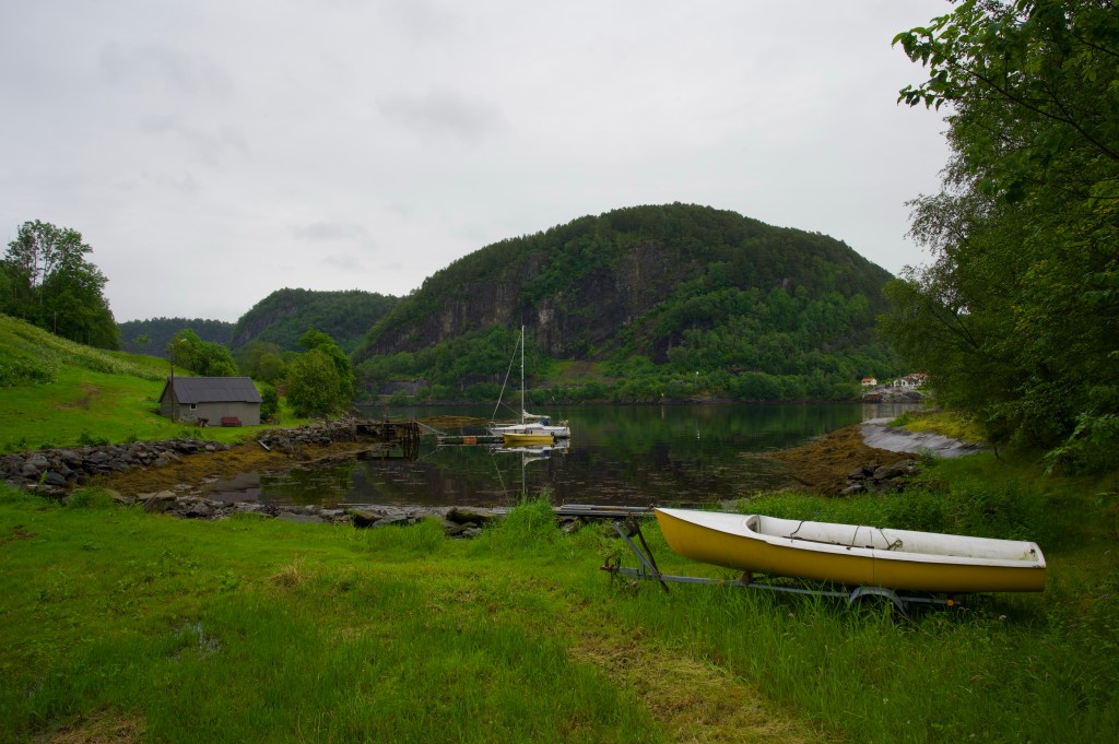
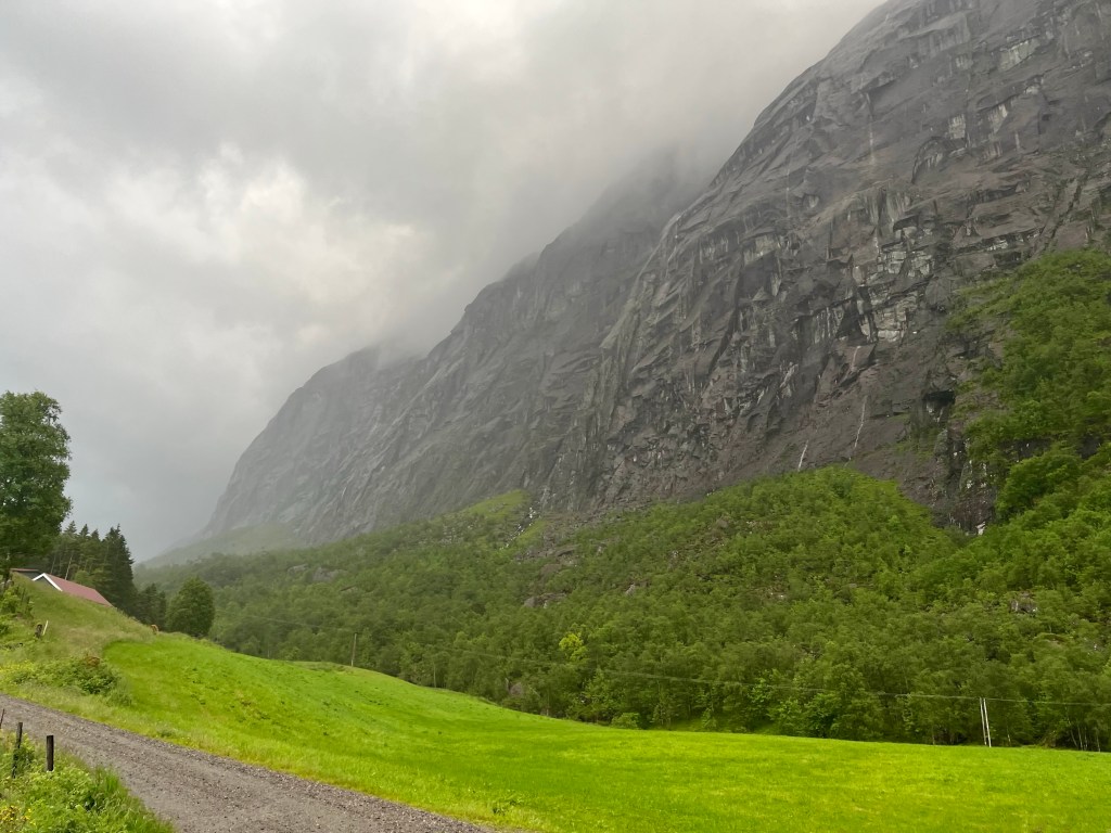
After a big tub of yoghurt with some granola, and a chocolate milkshake, I pushed on into the ever heavier showers, passing incredible rock walls veering upwards to my right. It was after 10 o’clock when I saw a small gathering of boat houses down by the shore of the fjord, and checking Komoot again, was thrilled to see that the small flat grassy patch with its own BBQ grill was to be my camp spot for the night. And mercifully, the showers stopped long enough for me to set up camp.