At around 6 o’clock, on the Friday evening, I hurried into the large XXL sports superstore, and sought out the bike department, asking the first member of staff I encountered if they happened to have any bike boxes available.
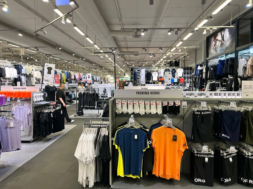
Having seen a collection of them on the shop floor, I was feeling optimistic, but it seemed that those boxes were already reserved for other cyclists, and the only one that appeared to be unaccounted for looked distinctly smaller. She could let me have that one, but it would cost me 250 Krone (£18.35).
Aware that there was such a high demand for bike boxes in Tromsø, that it had become a revenue stream in itself, I had thought that the shops might have made branded boxes available to sell, as I’d encountered in Vietnam, but these just appeared to be the boxes that new bikes arrived to the store in, and there wouldn’t be any more new bikes being built until after the weekend.
As I was concerned that the box I’d been offered was a bit small, the salesperson headed off to see if they had any others in storage, and I quickly took the opportunity to measure the box. It was definitely smaller than the one I’d had when I travelled to Norway in the first place, and it turned out that they didn’t have any other boxes hiding away in storage.
Perhaps all was not lost, however, as the girl suggested that there was another bike shop further around the retail park. So on finding my way over to Tromsø Ski and Sykkel, I rushed inside. The salesperson enquired as to whether I’d reserved one, before apologetically stating that they didn’t have any available.
I was regretting not taking the first box I’d been offered. It was Friday night and my flight wasn’t until Sunday afternoon, but the salesperson in XXL had already admitted that they would be unlikely to be building up bikes again until the Tuesday, so other boxes were unlikely to become available. I had read that Tromsø airport kept the boxes that cyclists brought their bikes in, so it was possible I could get one when I arrived at the airport, but was it worth the risk? I decided not, back to XXL I went.

Hoping that the salesperson hadn’t taken offence at me rejecting the box the first time, and that no one else had turned up to snaffle it, I headed back into the shop. Although it looked a little small, I said, I was sure I could make it work. But there was a potential spanner in the works, ‘could I take it with me’, I was asked, ‘as that would be best for them’.
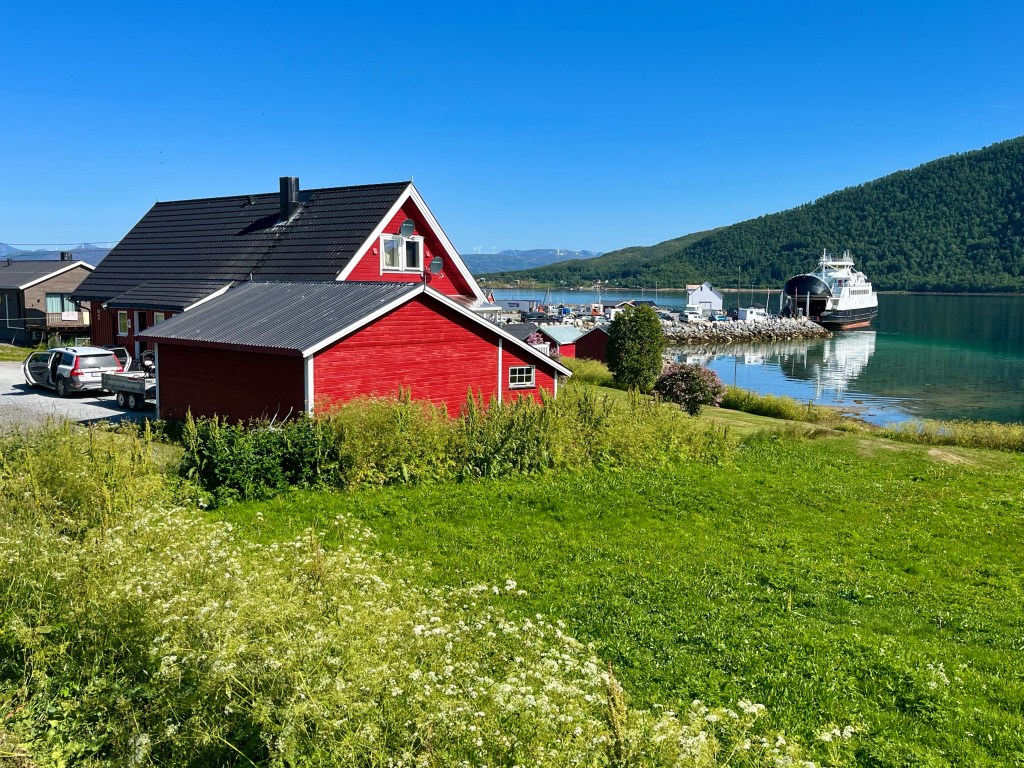
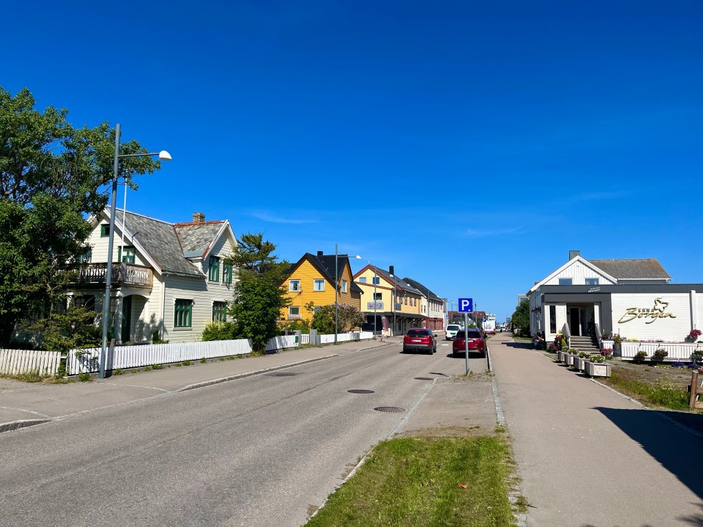
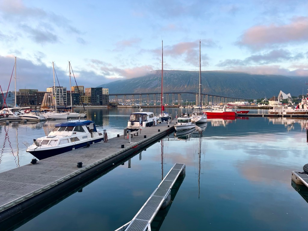
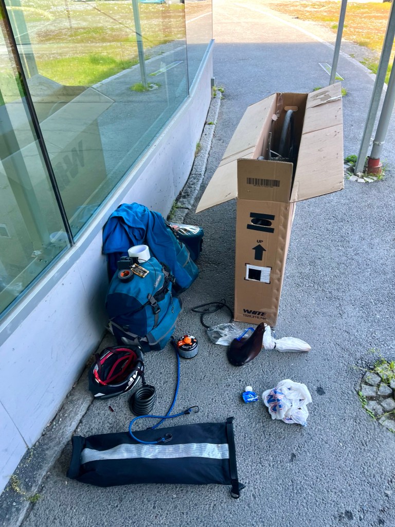
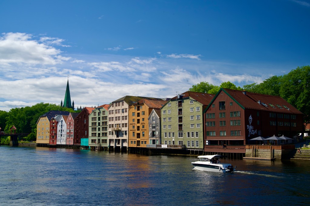
With nothing else for it, I dragged the large empty cardboard box back outside and over to where I’d left my bike. One thing was for certain, my 1000+ mile ride down the length of Norway, from Bergen to Tromsø, had finished here, outside a shopping centre on the outskirts of the city.
I was in a quandary, if I dismantled the bike here, and put it in the box, I’d have a bike box, two panniers and my handlebar bag to get into town, so would probably need a a taxi, and an extra large one at that. Another issue with that was that I hadn’t booked a hotel yet, so I’d also need to decide where to stay before I booked the taxi.
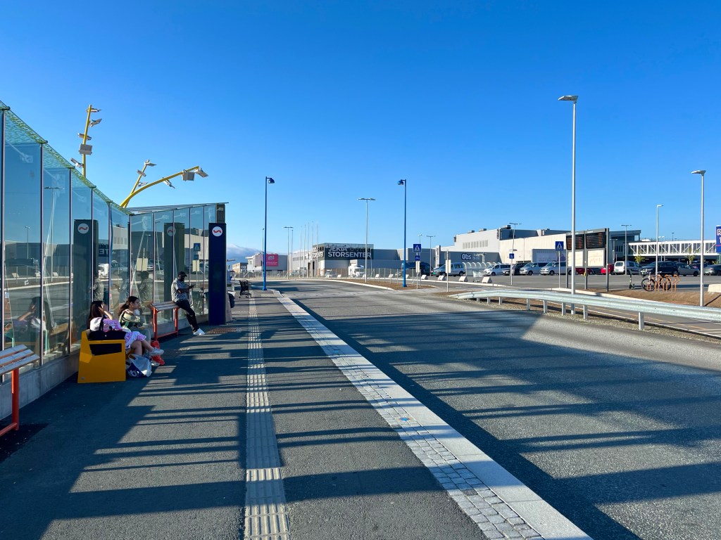
An alternative plan, though, was to fold up the box, and manoeuvre that and my loaded bicycle over to the bus stances at the other side of the car park. I could then get a bus into the centre of town – which was only 6 km away – and then pick a hotel near to where I ended up, and based on if it had a suitable area to leave my bike chained up outside. The advantage to this plan was that most of the buses in Tromsø also serviced the airport, so if I was staying near a bus stop, I’d have a readymade budget option for getting to the airport on the Sunday.
Not far from the bus stop was the Home Hotel Aurora, and although it was right on the harbour, it had a fairly private car park located to the side and a bike rack at the front door. It looked like a perfect spot for leaving my bike for a few days. Having stood outside booking my stay online, I walked inside carrying my valuables: the handlebar bag and the folded cardboard box.
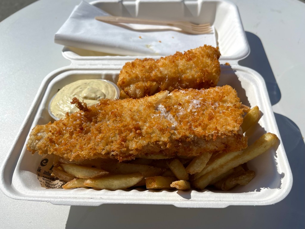
‘Michael’, the lady at reception asked before suggesting that if I wanted to leave my ‘carton’ by the desk, it was the last 15 minutes of the complimentary dinner service, so I could have dinner now, and then check in afterwards. I liked this place. I liked the meatballs, mash and vegetables they were offering for dinner, and I liked the sauna and rooftop hot tub with harbour views.

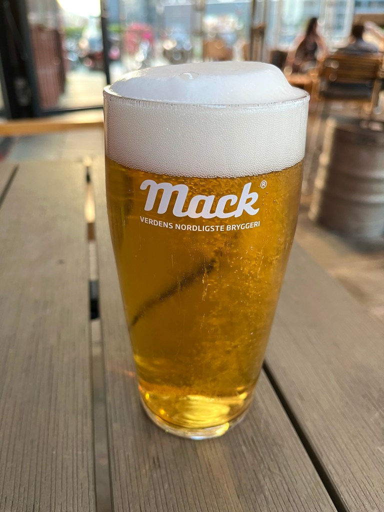
Later in the evening, I dawdled along the waterfront, eventually finding a nice looking beer terrace at the bar, Rorbua, so went inside. Eyes only watering slightly, from the £9.50 beer from Tromsø’s Mack brewery, I tried to forget the £7.30 entry charge entirely. One thing I definitely wouldn’t miss about Norway was the prices.
Absentmindedly heading back to the hotel, at after 1 am, I hadn’t realised that I had become a sitting duck to the many seabirds circling above the seafront. Their squealing and squawking had become a tedious soundtrack to my journey at all hours of the day and night, so I was paying little attention, when I felt a whoosh of air, and an impact on the top of my head. Making for the cover of a nearby awning, I started to pick my route more carefully back to the hotel.
On googling ‘divebombing birds in Tromsø’, I realised I should have known, and I’d come full circle, I’d finally been tracked down by my old arch nemesis from Iceland, the Arctic Tern. I really do dislike those birds.
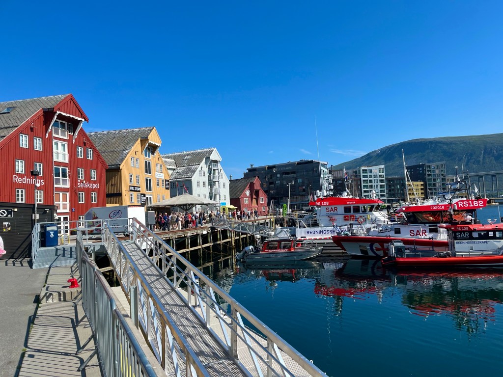
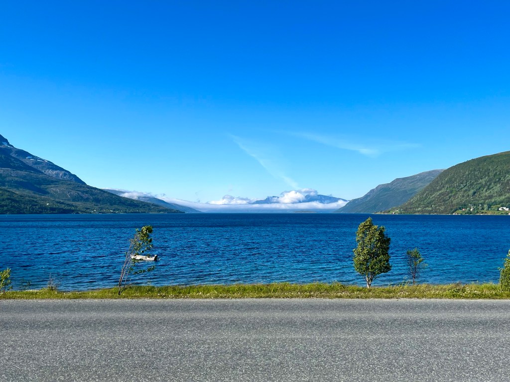
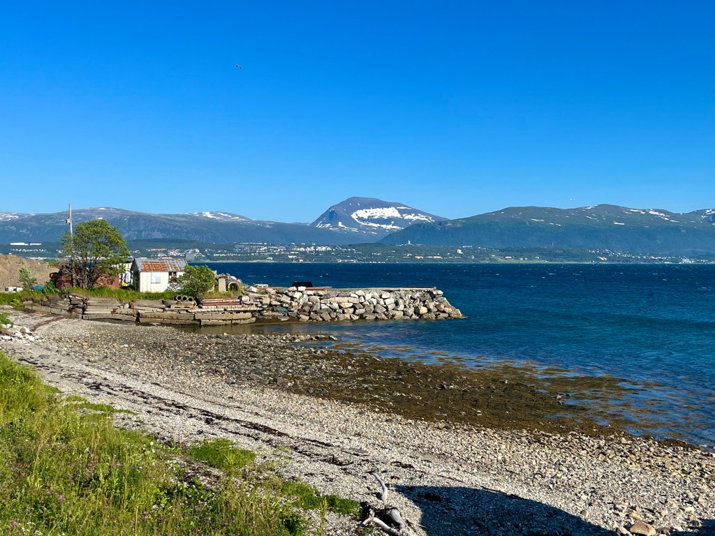
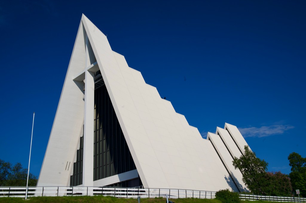
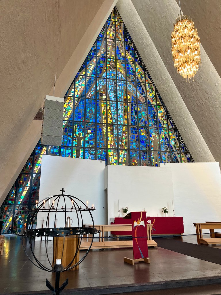
Luckily, I managed to escape a repeat attack during the rest of my time in Tromsø, and indeed I had a very pleasant stay, visiting the Arctic Museum, the Arctic Cathedral, and taking the gondola up to a high viewpoint and cafe.

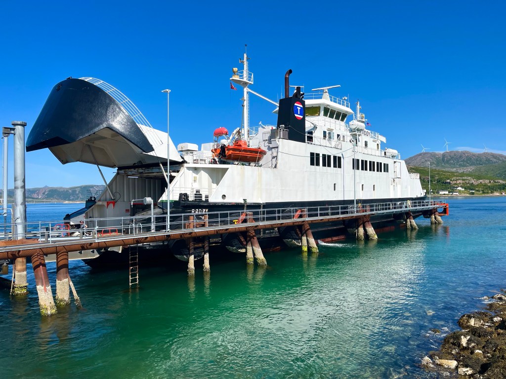
On arriving at the airport on the Sunday afternoon, I set about dismantling my bike, and it wasn’t long before a couple of cyclists – who I remembered seeing on a ferry – turned up and asked if I was arriving or departing, clearly looking to take my bike box off my hands.
Unfortunately for them, I was departing, and the XXL from which I’d got my box would be closed, but I did mention the fact that I’d read that they kept boxes in the airport. Not long afterwards, however, I saw them pedalling off again empty-handed, so perhaps that isn’t as surefire a method as I’d considered it would be.
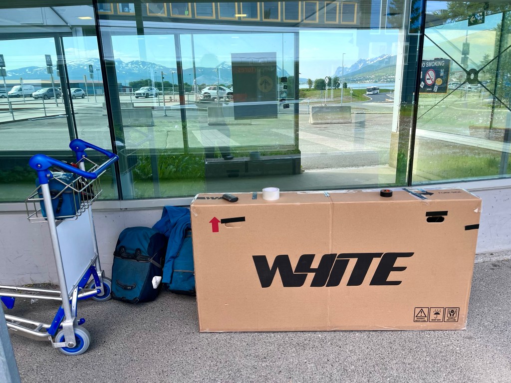
Bike packed up, I was ready to go, and there were no other hurdles to stand in my way. I’d set off for Norway, with a hurriedly sketched out plan, and was pleased with what I’d achieved. I’d flown to Oslo, been to art galleries that I’d long been keen to visit, taken the beautifully scenic train journey over the mountains to Bergen, where I’d squeezed in Lovstien parkrun.

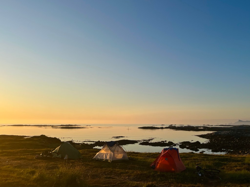
On starting my cycle tour, in Bergen, I’d had a few days of suspect weather, almost signalling the end for my beleaguered tent. I’d also struggled to get to grips with the timetables for the many ferries, and the frequency of the many hills.

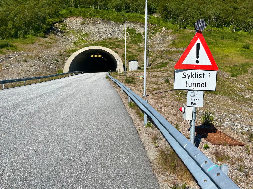
In Florø, suddenly the weather started to improve, and I would never have believed that it was only set to get better. The irregular hours of the Atlantic Tunnel bus stopped me in my tracks just when I wanted to start making up some miles.
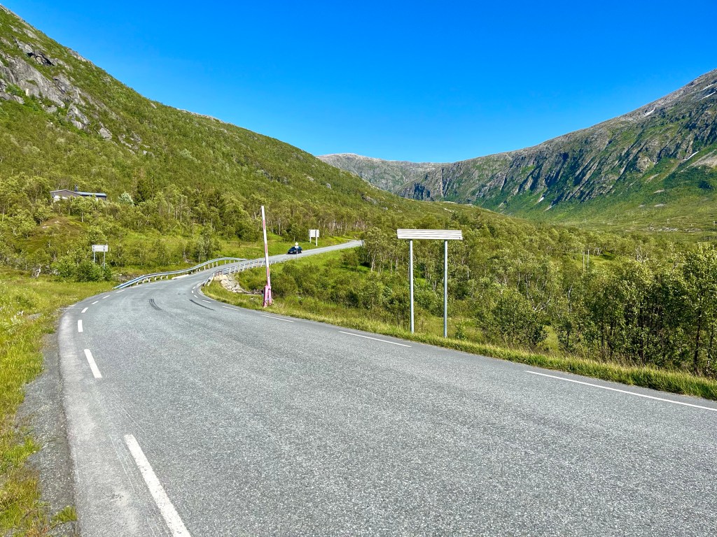
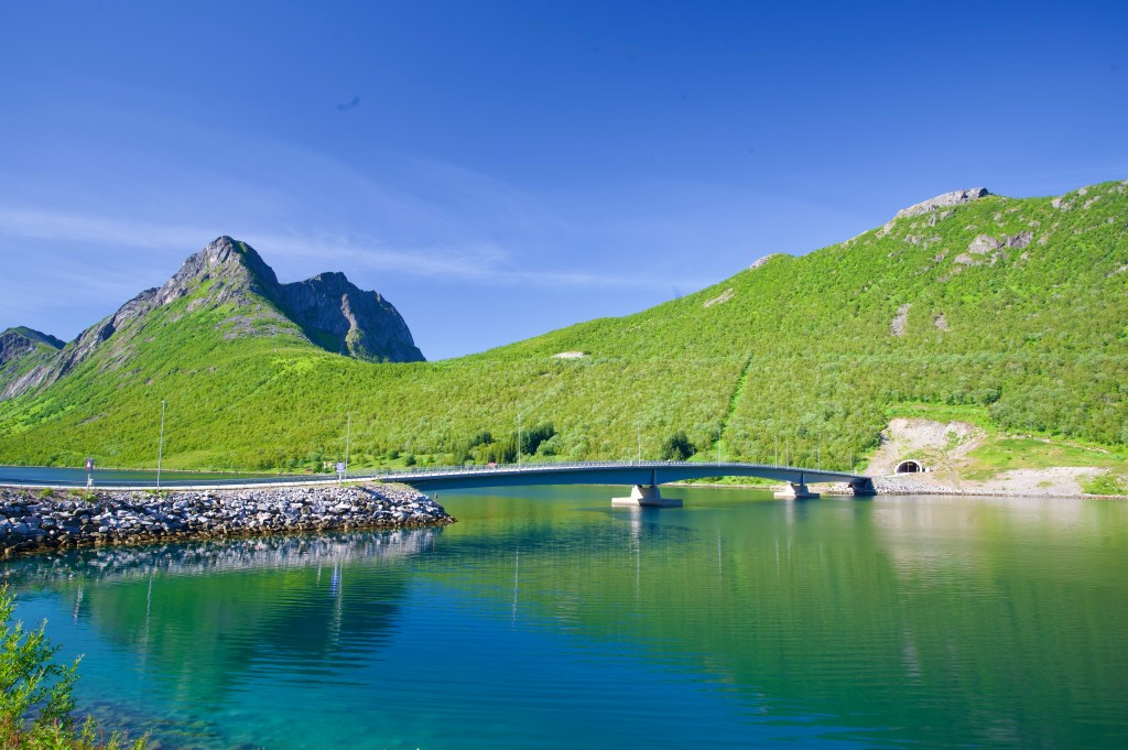
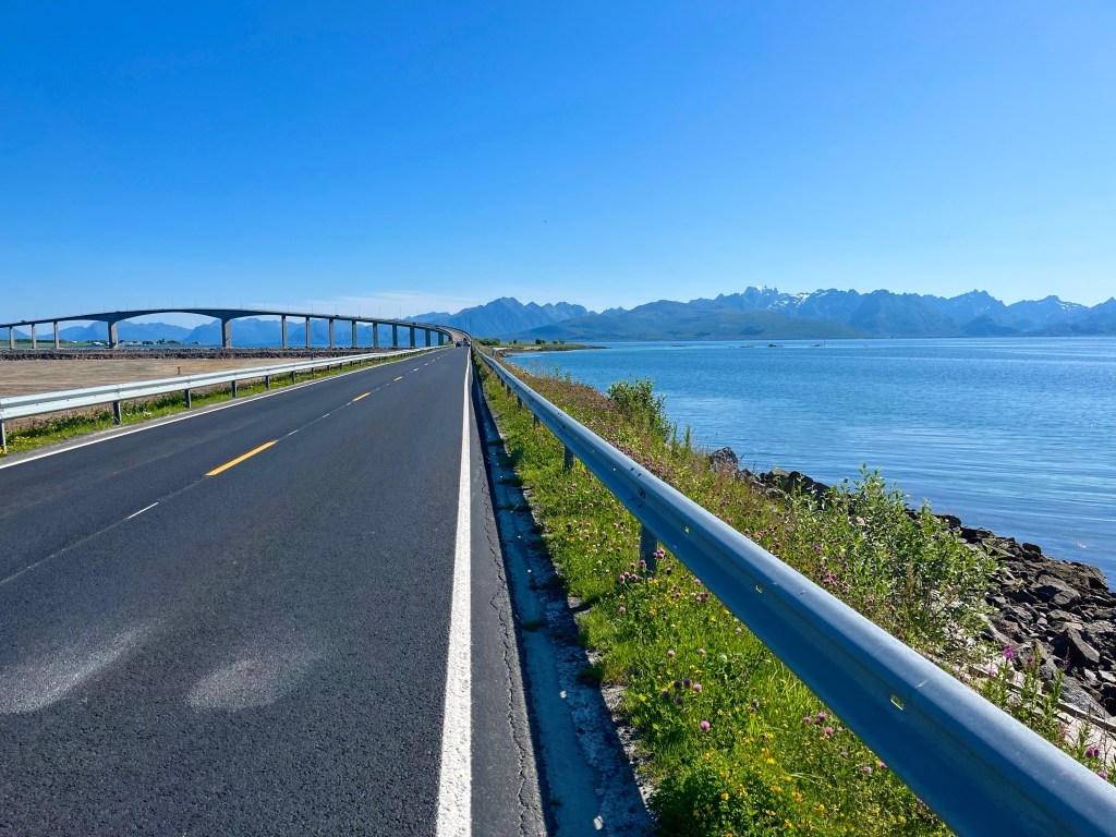
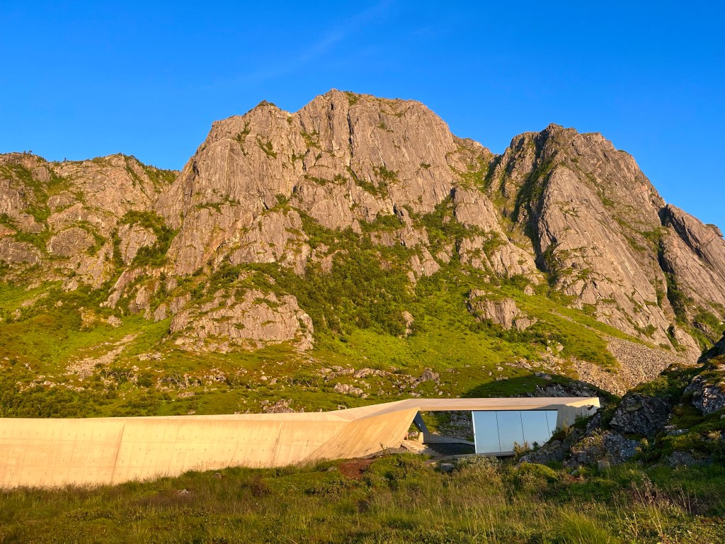
After skipping from Kristiansund to Trondheim, I missed a ferry and ended up taking a lengthy detour around the wrong side of the fjord, but kinder gradients and stunning mountain views were ahead, before I made for another ferry from Sandnessjøen.
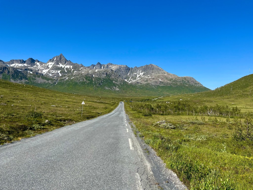
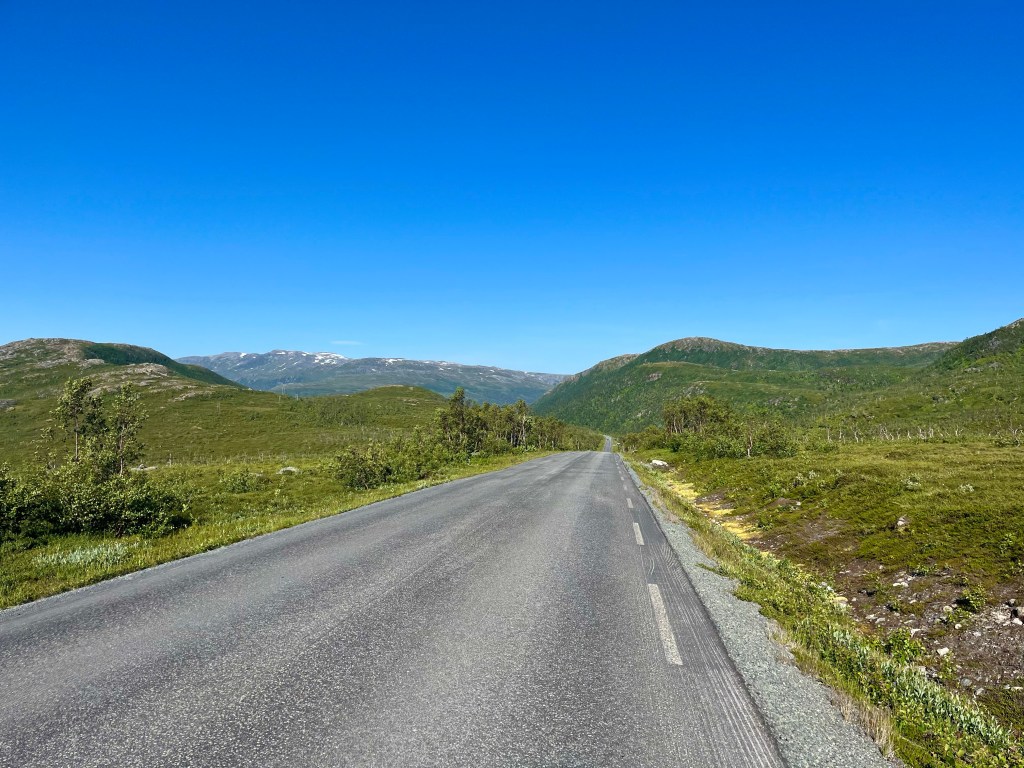
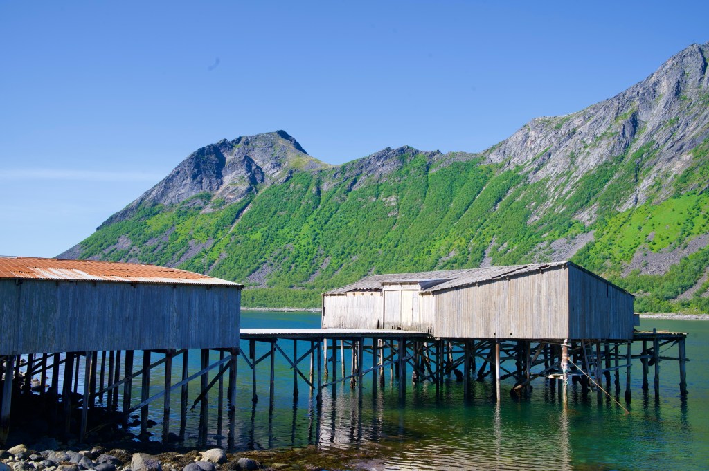
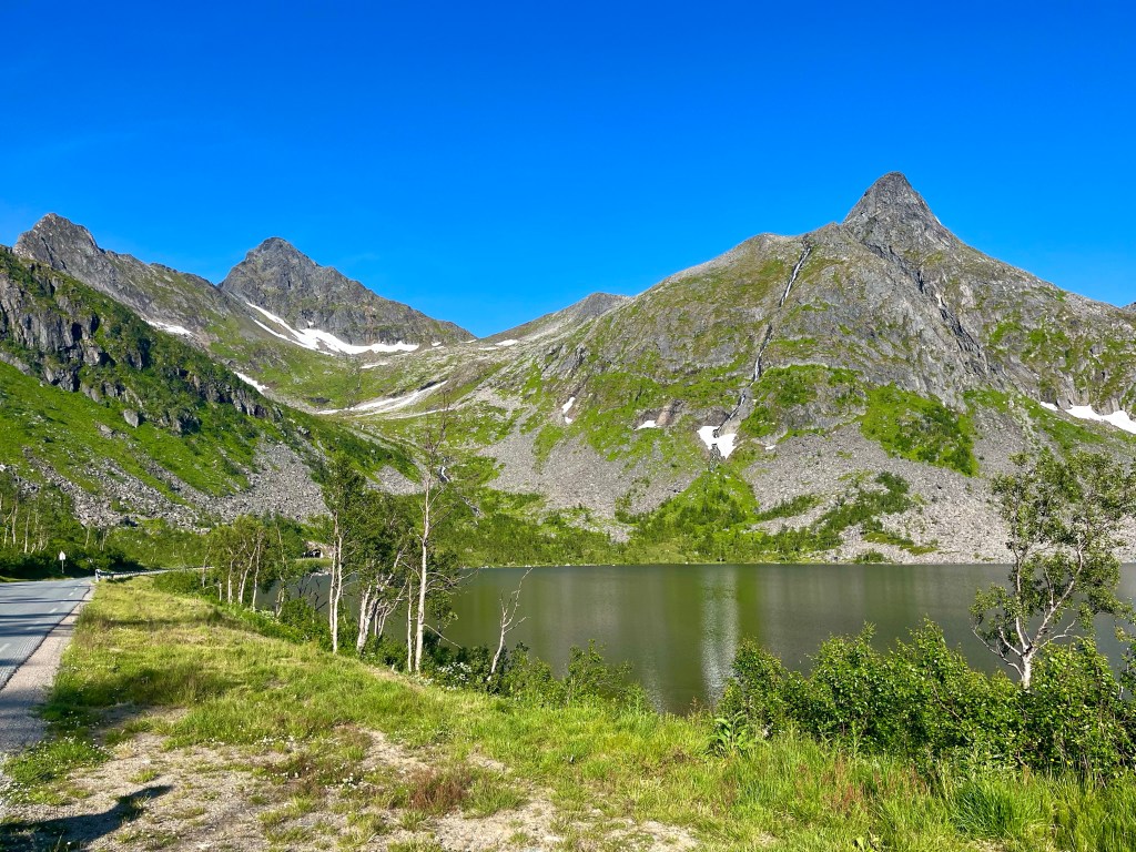
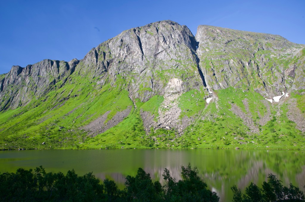
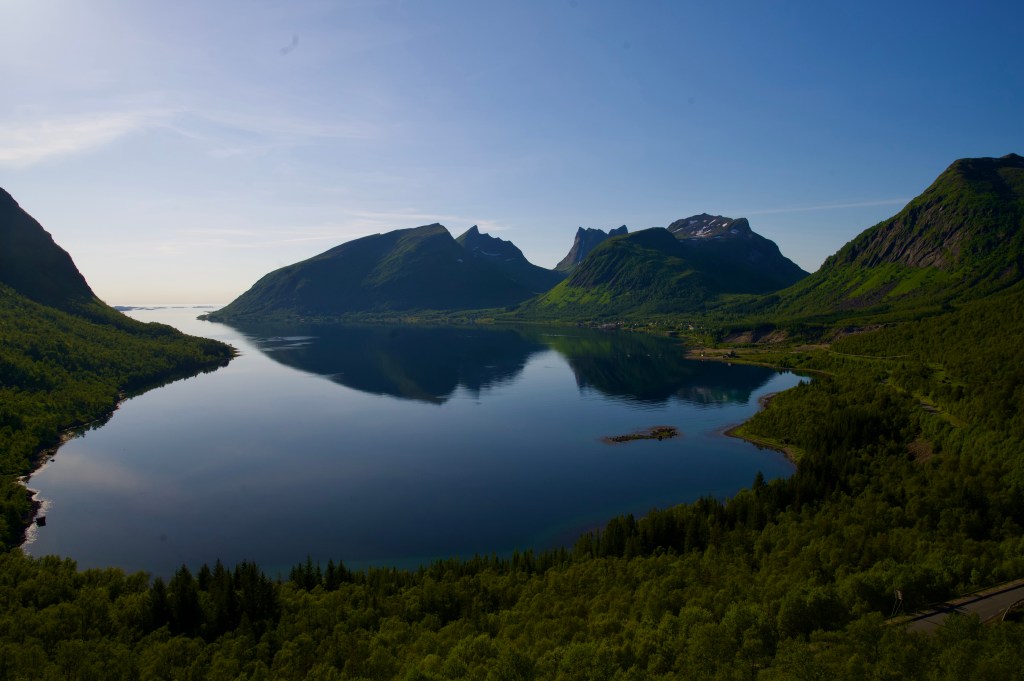
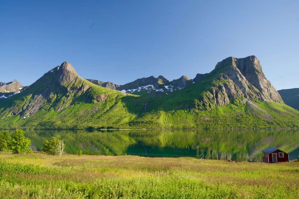
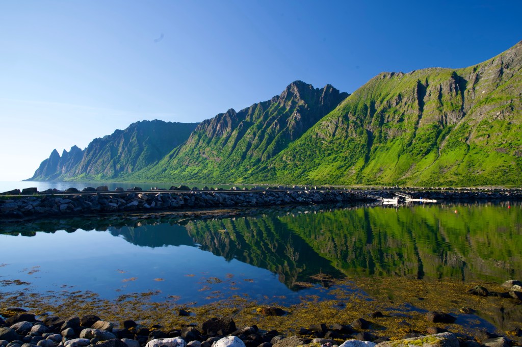
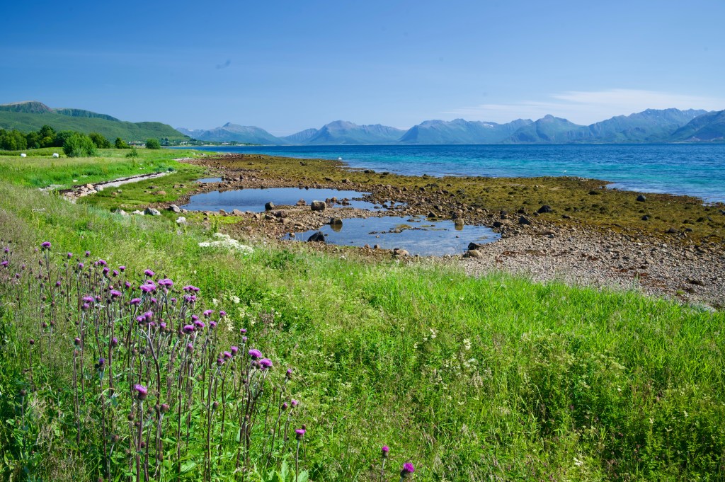
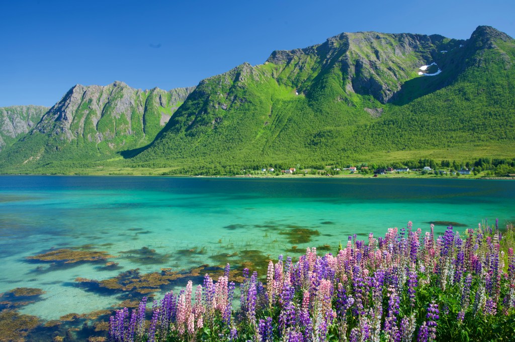
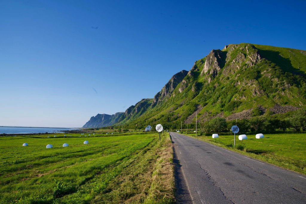
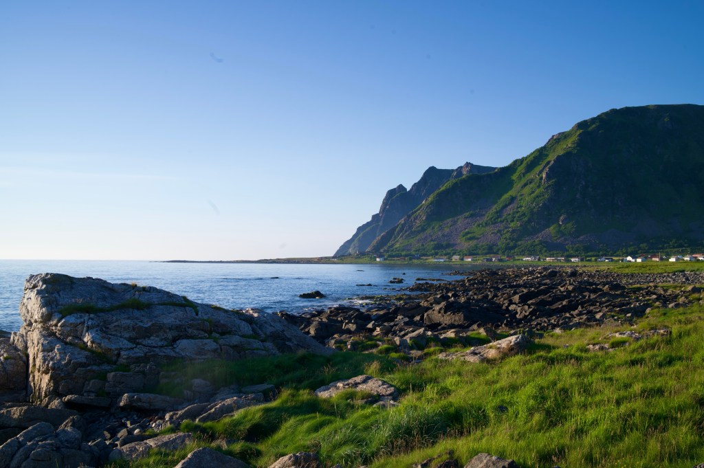
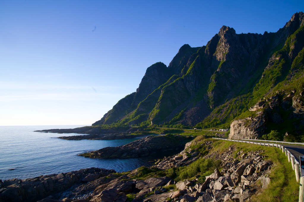
The Lofoten Islands provided a quickfire highlights reel for the trip before the Vesterålen Islands and Senja merely added the cherry on top.

Ending the trip with a couple of days in Tromsø was a decision designed to give me an opportunity to find a bike packaging solution with a little extra time in case one wasn’t readily available. But on finding one immediately when I arrived into town, the pressure was off massively and I was able to have an enjoyable time sightseeing to end the trip.

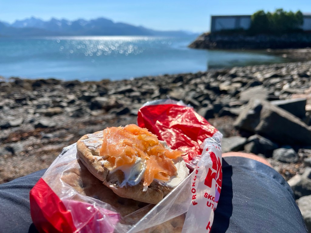
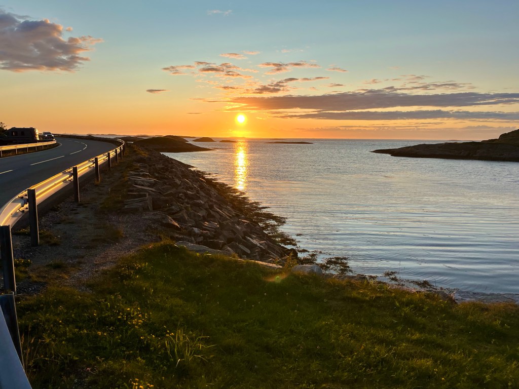
In my three and a half week trip, I’d been amazed to have almost 3 weeks of warm sunshine, and when paired with Norway’s stunning scenery, the visual rewards had been high.

Thanks for reading,
Michael