Distance: 63.14 miles
Time: 5:58
Elevation Gain: 2660 feet

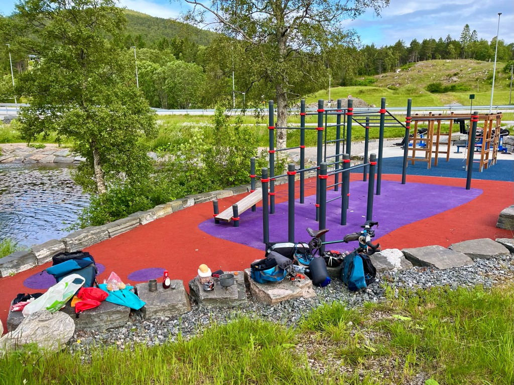
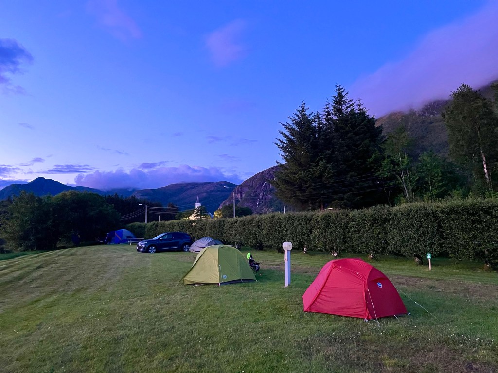
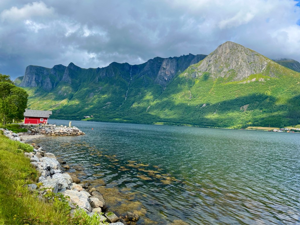
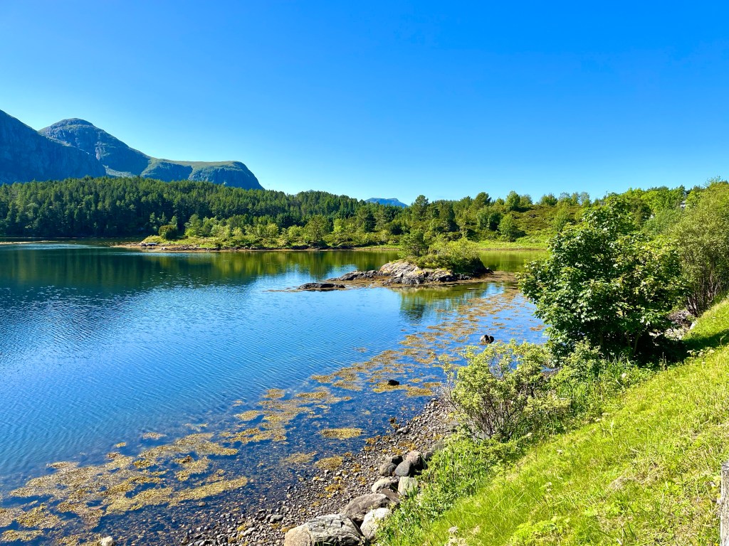
It was a beautiful morning in the campsite, and Arijit and I had a leisurely breakfast before setting off. Our route carried on for ten miles, across Otrøya, with some long gradual climbs along the coast.

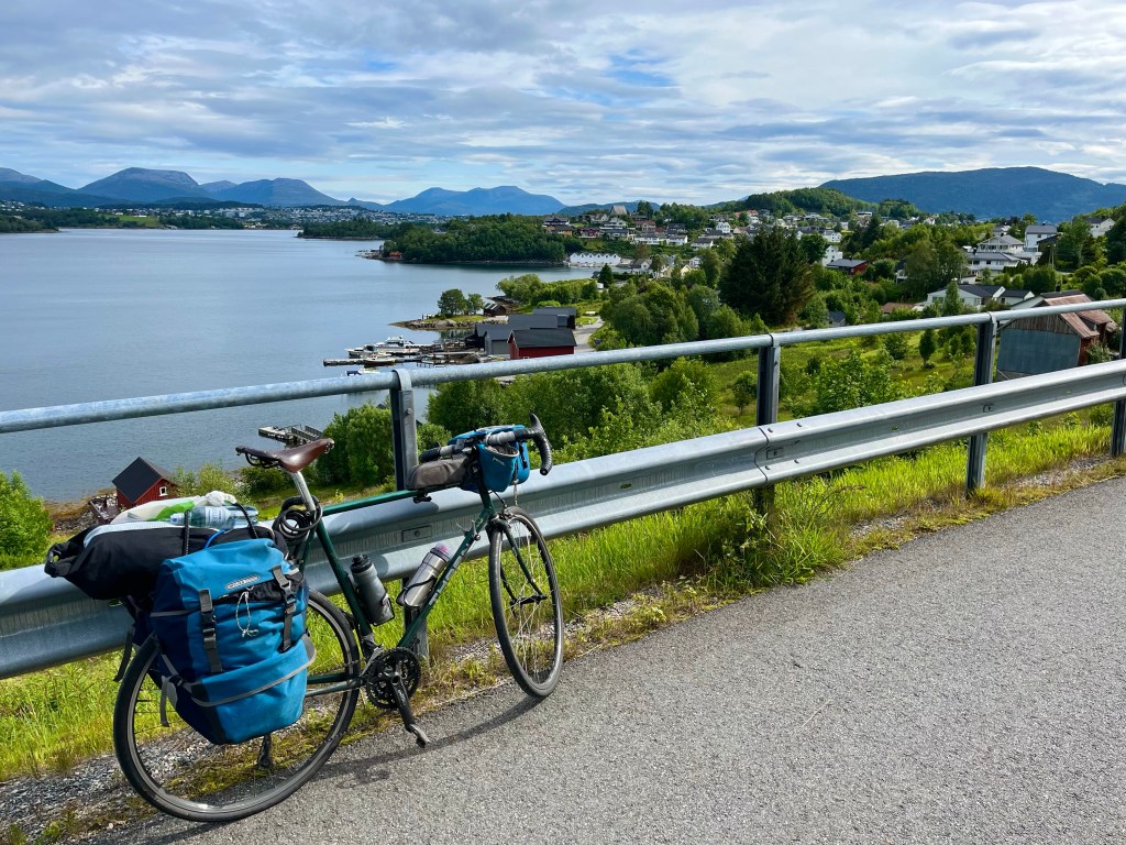
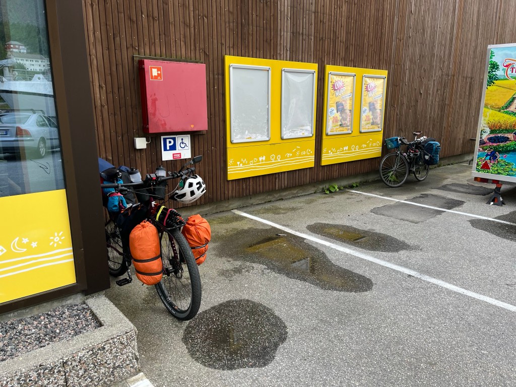
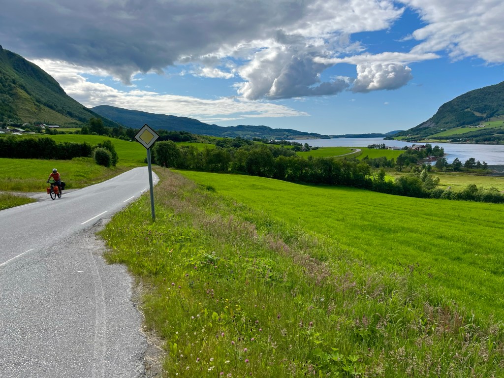
After crossing back onto the mainland, slightly west of Molde, we struggled up another hill in the warm sunshine, before stopping at the large ‘Extra’ supermarket in Hollingen to pick up a few things for lunch.


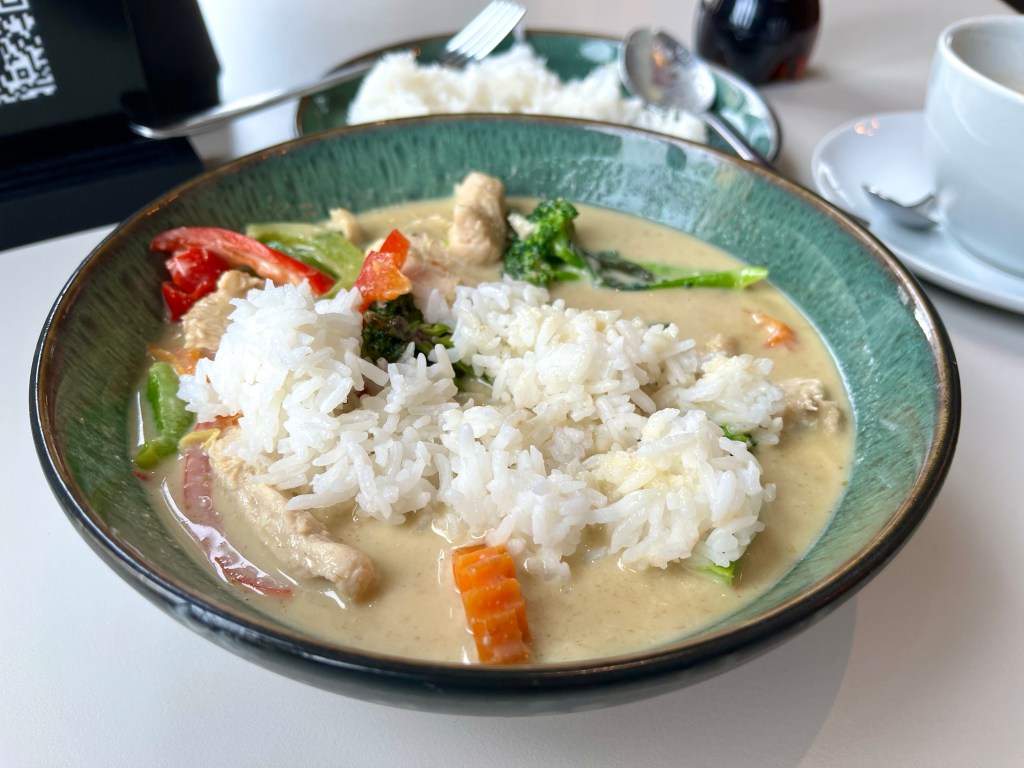
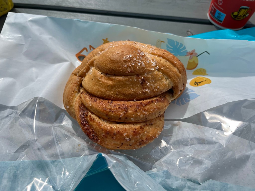
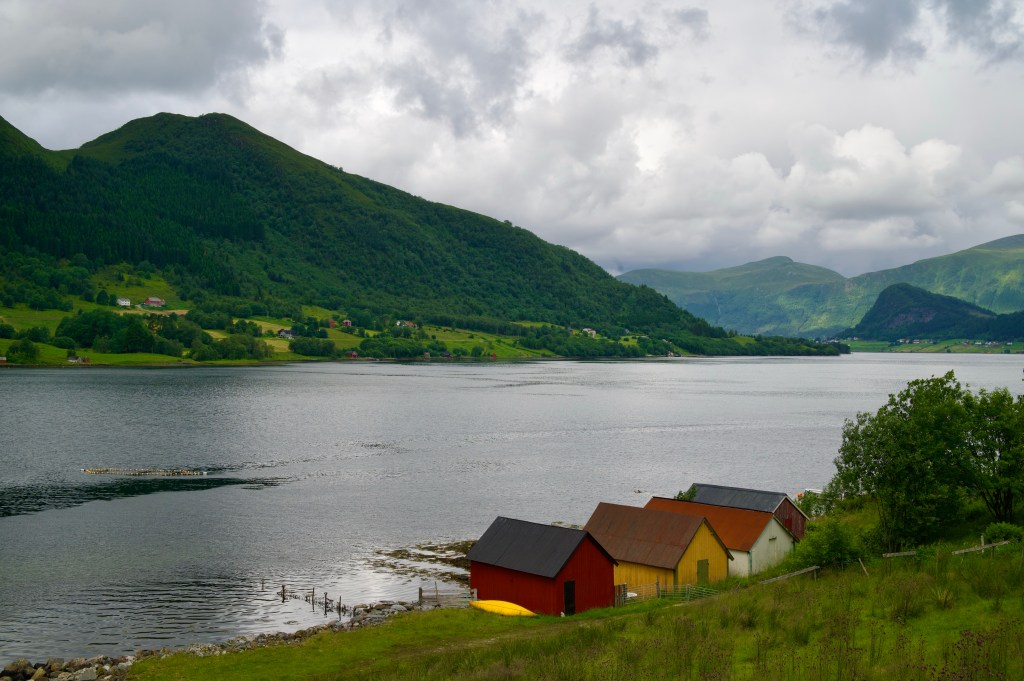
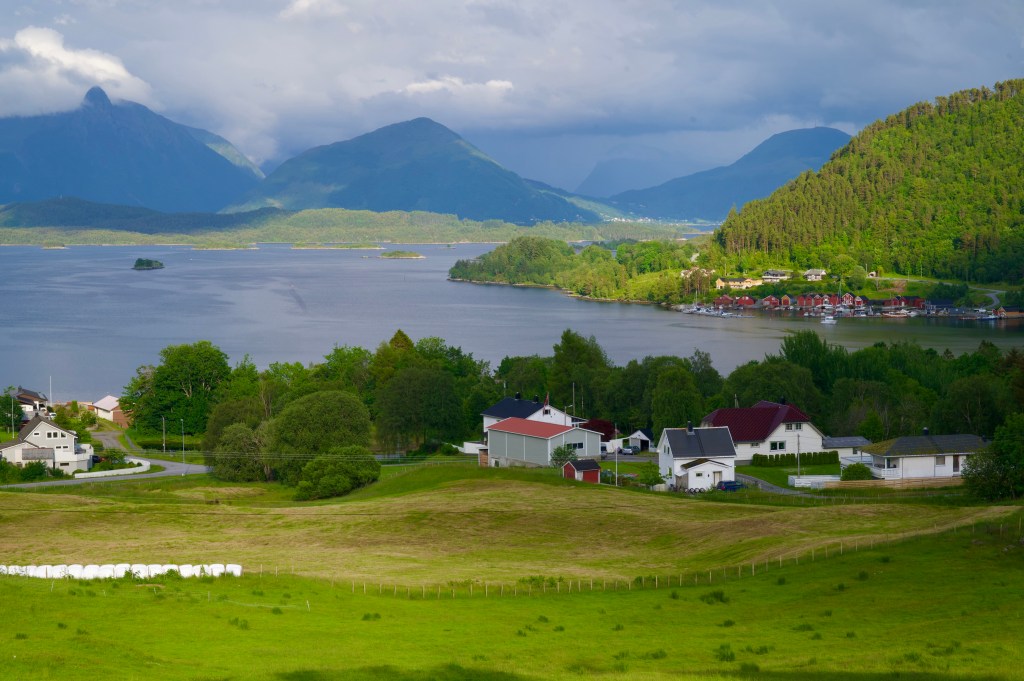
Soon, we started the long circumnavigation of Frænfjorden, and as it neared 6 o’clock and 30 miles for the day, we stopped again for something to eat at a petrol station cafe. Arijit having fish and chips, and me, an enormous chicken doner platter.

It was all the fuel I needed to sustain me for another few hours, and just as well too. Up ahead there was a fork in the road where Arijit would be turning left and cycling a few more miles to the next campsite, and I’d be turning right, cutting the corner of the route before hoping to press on to Kristiansund that night

The evening was still young, and secretly, I had aspirations to reach the ferry onwards from Kristiansund by half past 11 and carry on pedalling for a few more hours into the night.
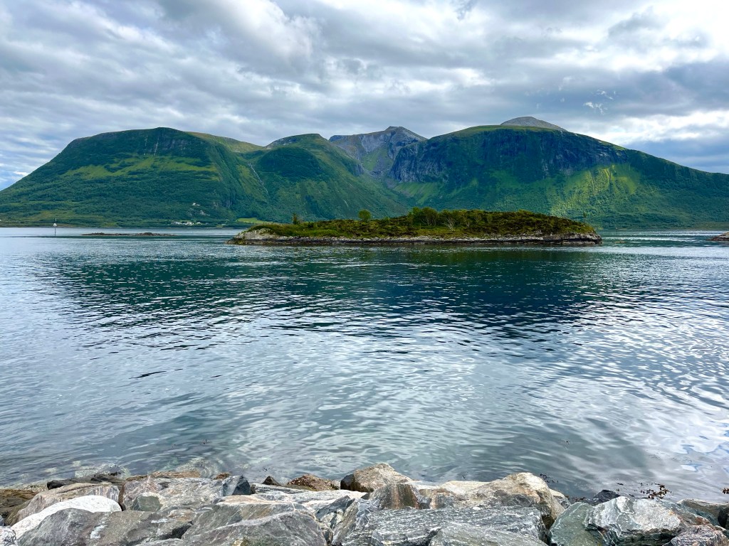
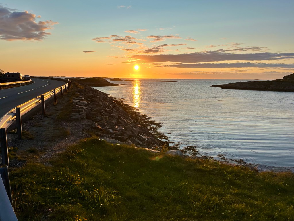
But, there was a spanner in the works, and having blasted across the hinterland to Farstad, and admired the stunning views along the Atlantic road, I stopped just outside Kårvåg and checked the time of the next atlantershavstunnelen tunnel bus. It was half past 9 in the evening now, and the next bus wasn’t until 12:41 the next afternoon. It was the end of the road, I wasn’t allowed to cycle through the 6 km underwater tunnel, and there were no other ways across to Kristiansund without going a very long way back the way I’d come.


My grand plans to make up miles had been hijacked. With ferries all along the Atlantic coast route often running until at least midnight I hadn’t even thought to check when the last bus might be.
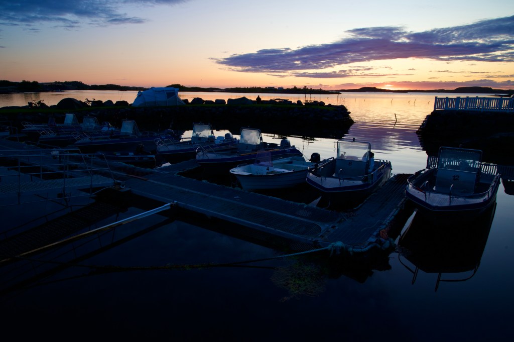
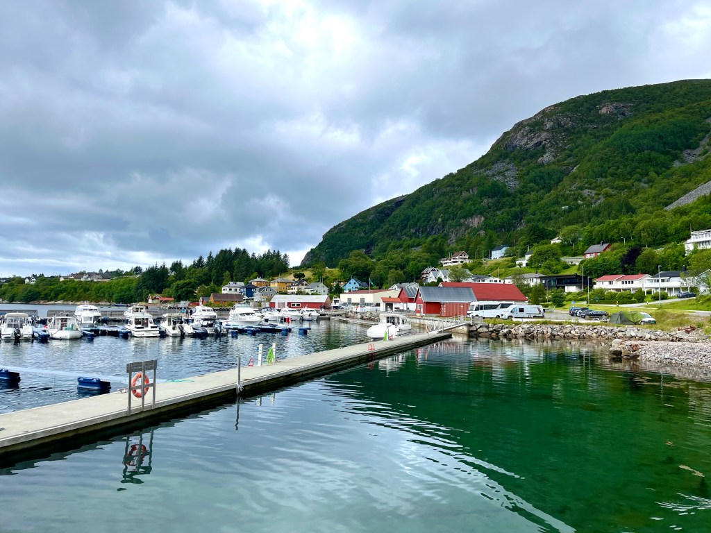
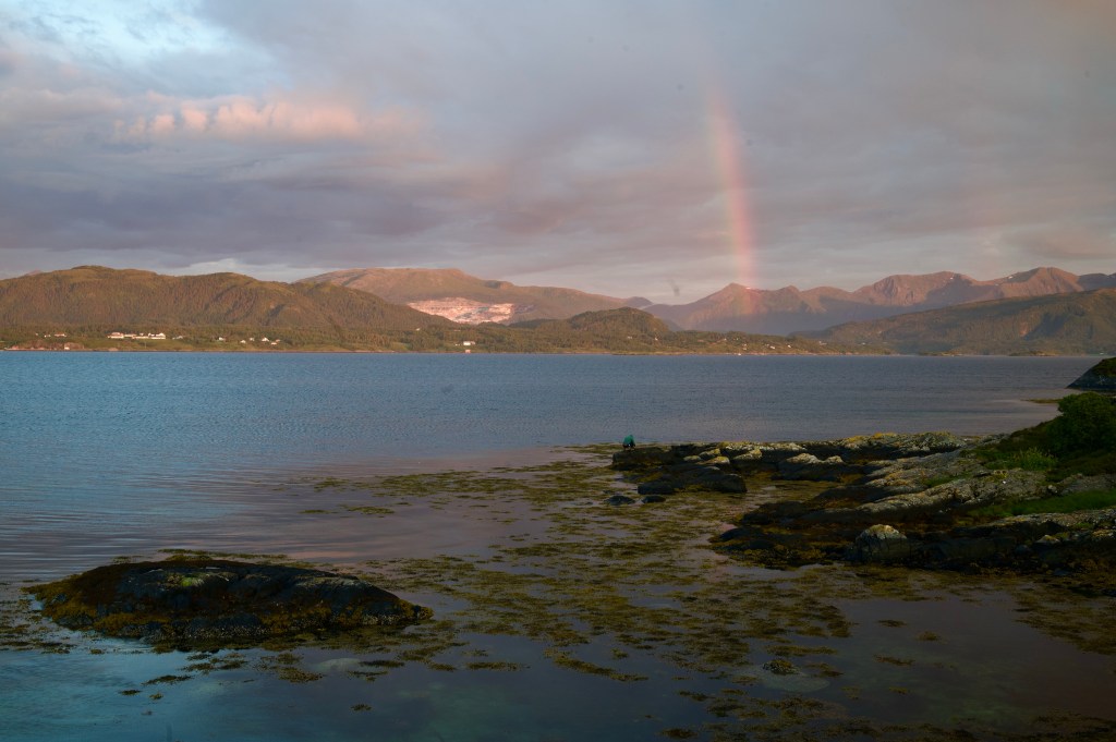
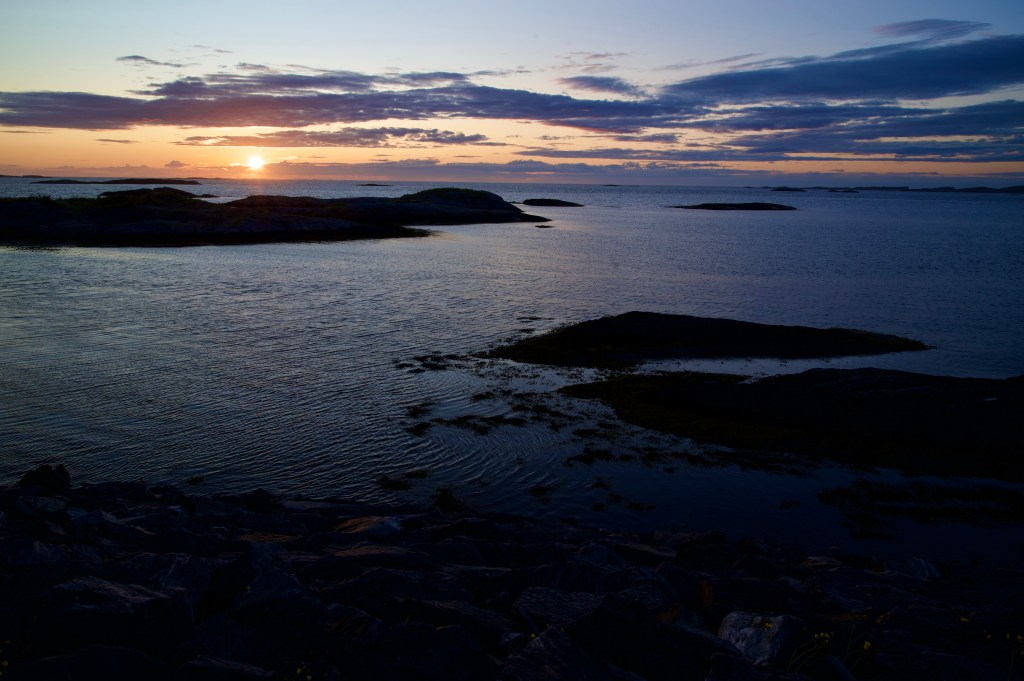
Deflated, I pedalled back along the Atlantic road looking for a spot to camp amongst the rocky outcrops, before eventually returning to Kårvåg, and finding a small campsite just off the road by a harbour.
Although I’d racked up 63 miles for the day, and cut out a section of the route, with only two weeks remaining of my trip, and a significant distance still to go, I would need to plan my next move.