Tag: Chaiten

Day 19: Caleta Tortel – Puerto Yungay

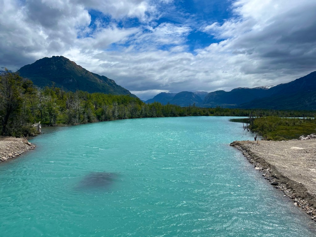
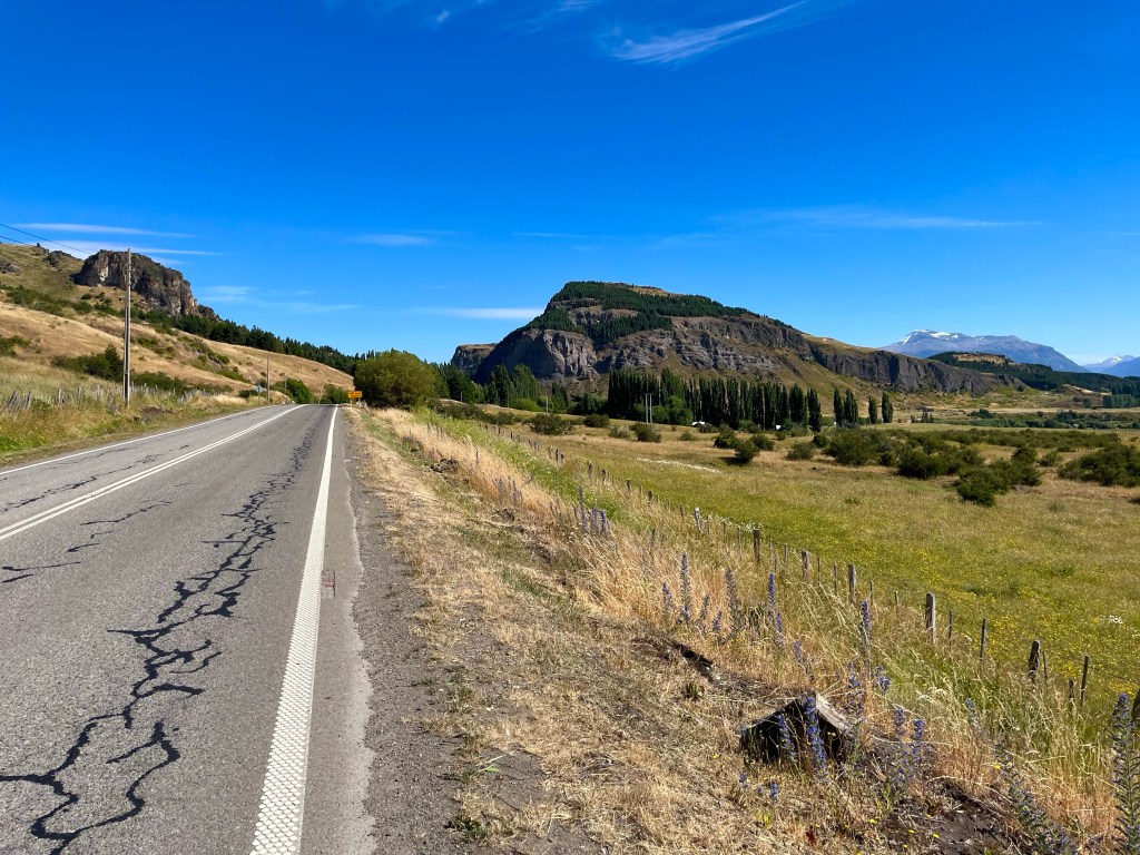
Distance: 27.18 miles

Time: 3:55

Elevation Gain: 2,336 feet

The next day, Desiree was taking a rest day, and I was pushing on the 45 km or so to Puerto Yungay ferry terminal, ideally in time to make the last ferry at 7 o’clock, and continue the 8 miles to Río Bravo María campsite.

By the time that we headed out for lunch though, that was already seeming optimistic, and I soon started to realise that it was likely I’d be arriving at the ferry port after the last ferry had already left, and I’d be camping in the vicinity of the port.

This feeling was reinforced quite quickly, when Desiree, liking the look of the Calafate cake in a craft shop, proposed the idea of having coffee and cake first, and then going for lunch straight after. Sounded like my kind of plan.

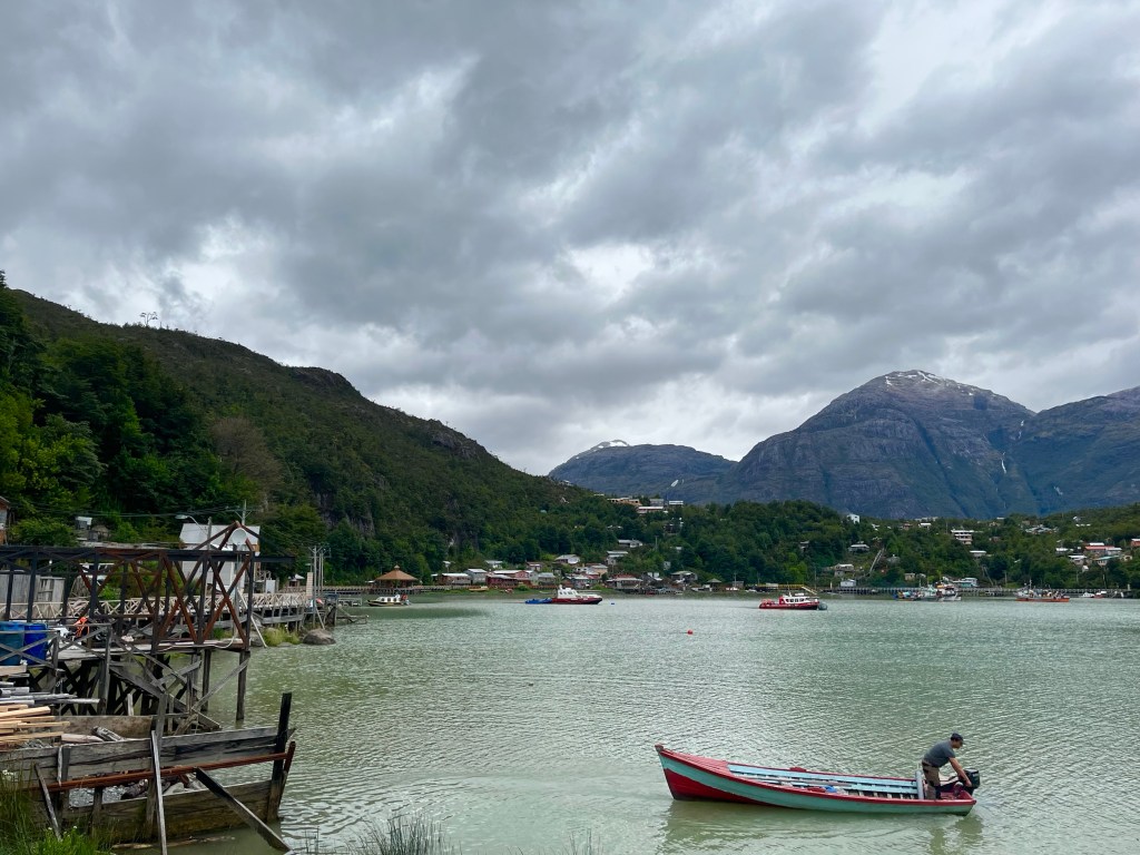
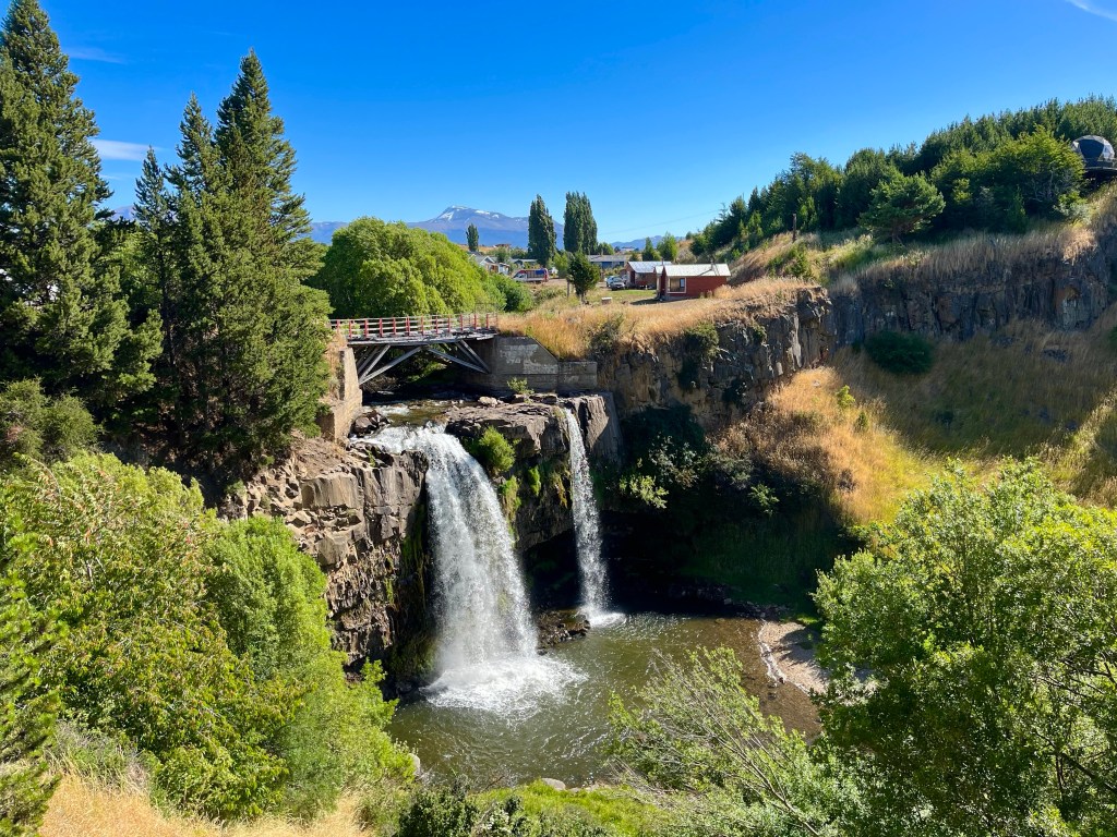
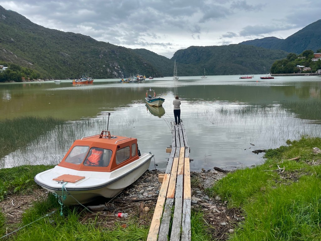
The cake was delicious, and the boardwalk around the harbour offered up fantastic views of the layout of the town, as it reached upwards from the coast. A short chat with some construction workers informed us that the wooden boards used in the creation of the walkways required to be replaced every 12 years, no doubt maintaining the place was a year round occupation.

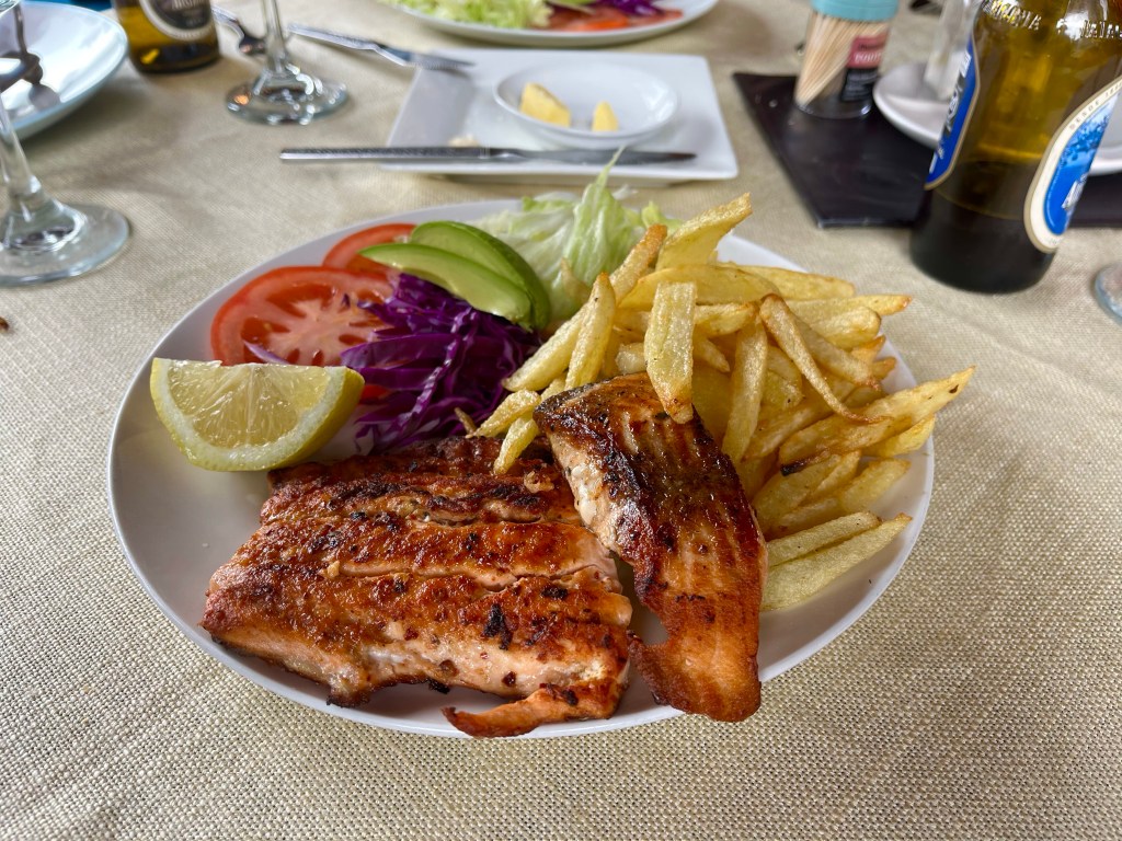
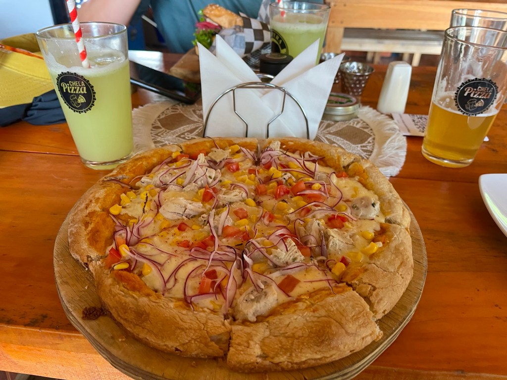
We moved on to El Mirador restaurant for lunch, and when the waitress pointed out that there were only 3 items on the menu, and one of them was salmon, it was a fairly easy choice in what to have, for both of us.

It was almost 4 PM, before I finally moved on, but it had been a very pleasant day so far, so I wasn’t regretting not getting back on the road in the morning when the forecast was good.

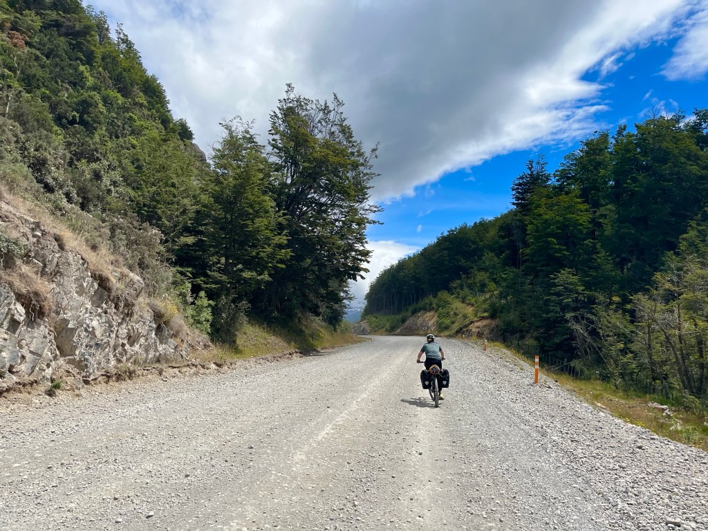
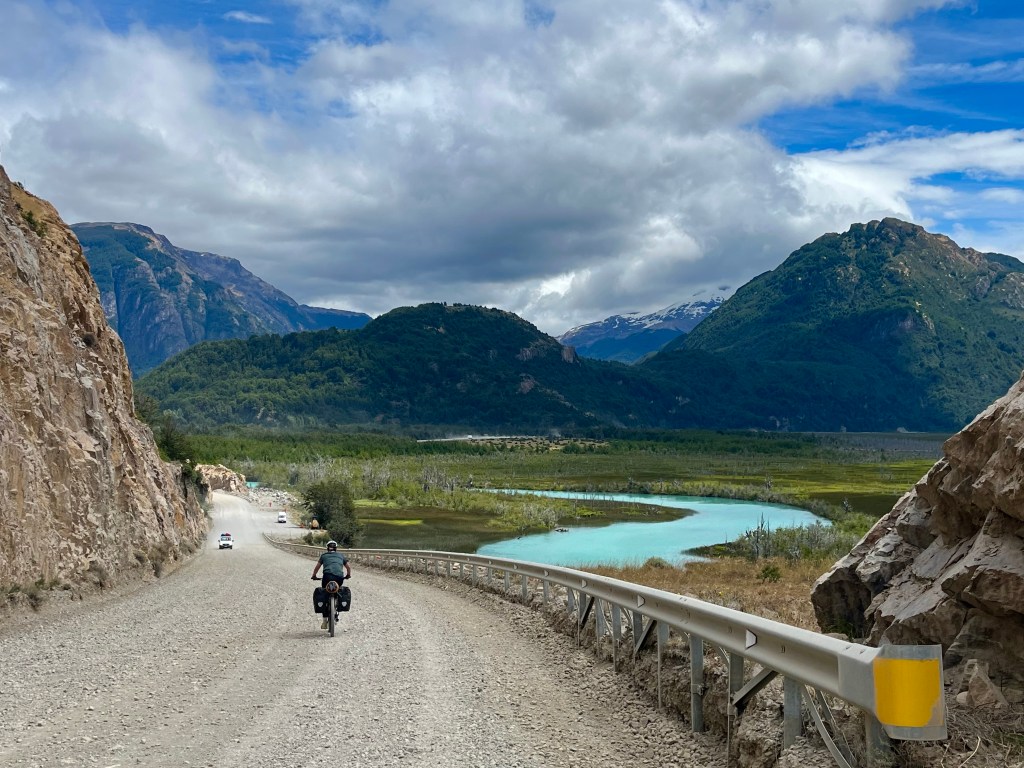
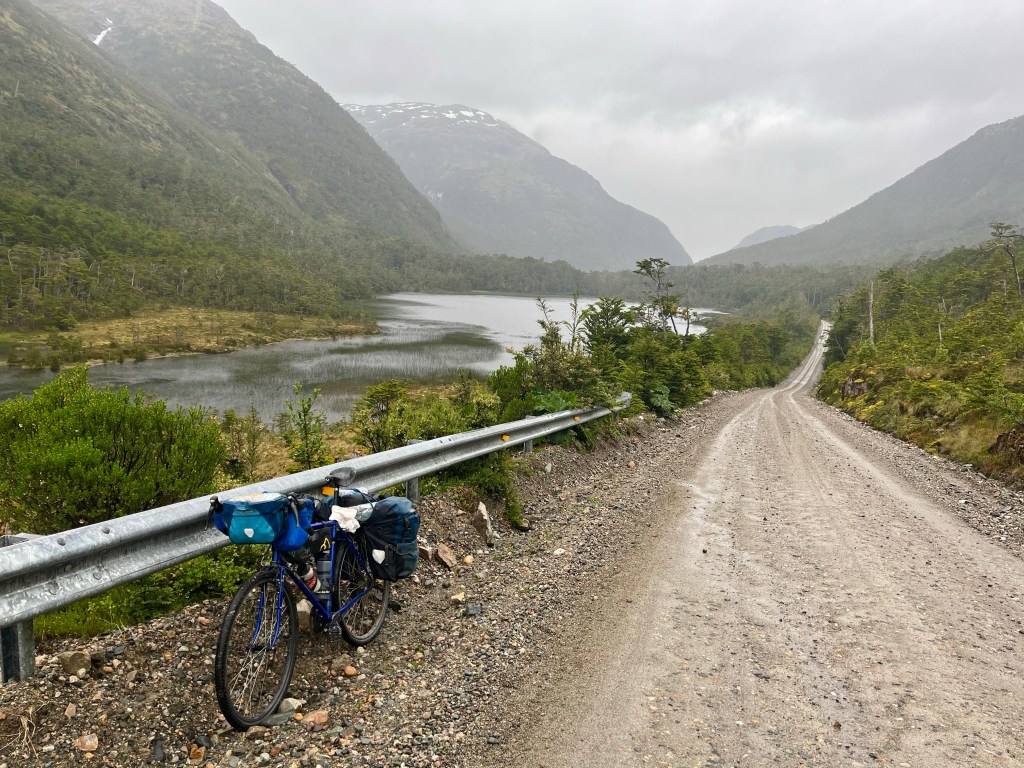
It was a tough stretch back out of Caleta Tortel, into the wind, and I hadn’t got very far at all, when I passed the Colombian couple from 2 nights before on their way into town.

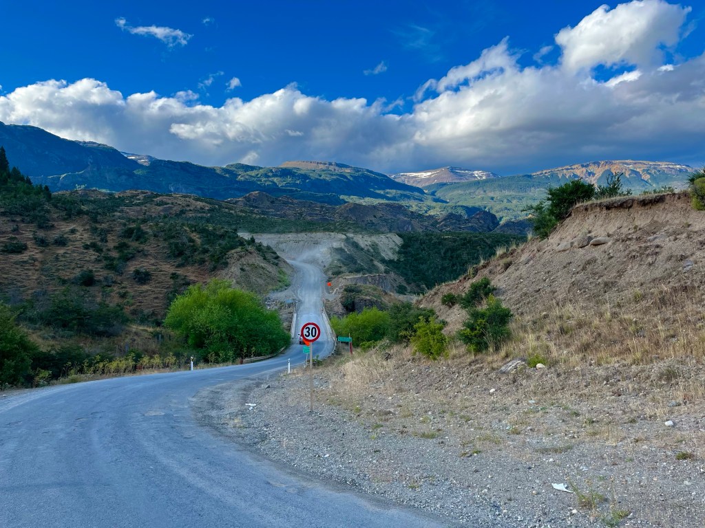
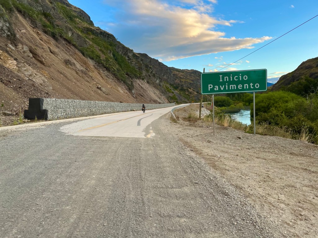
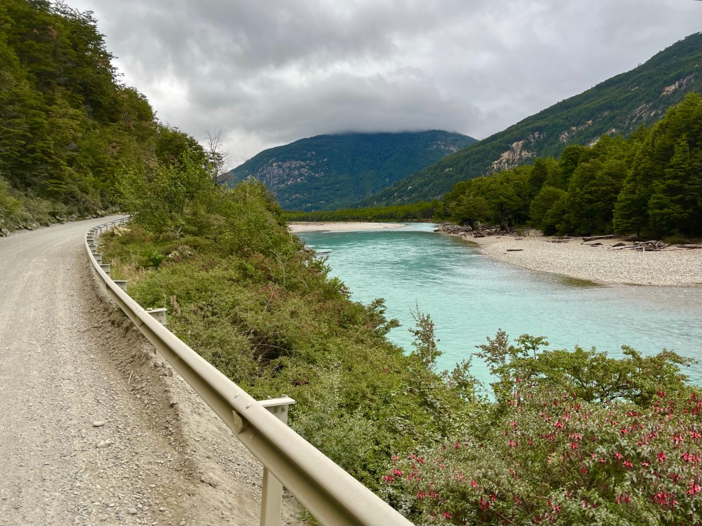
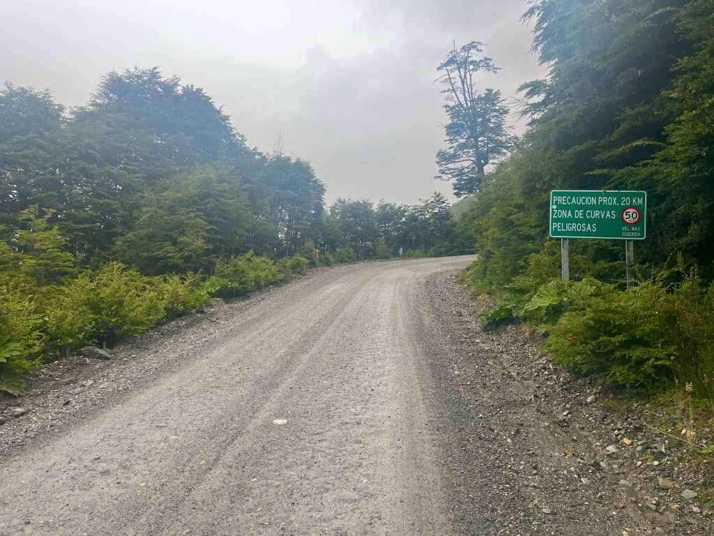
If I thought that the initial part was tough, I hadn’t seen anything yet. Conditions had worsened when I reached the bottom of the climb over to Puerto Yungay, and the sign at the bottom warned of 20 km of dangerous curves. Sounded fun.

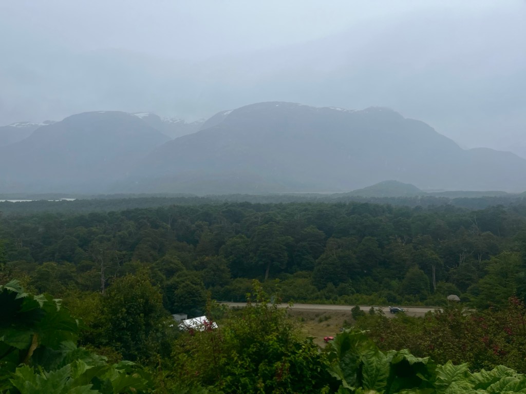
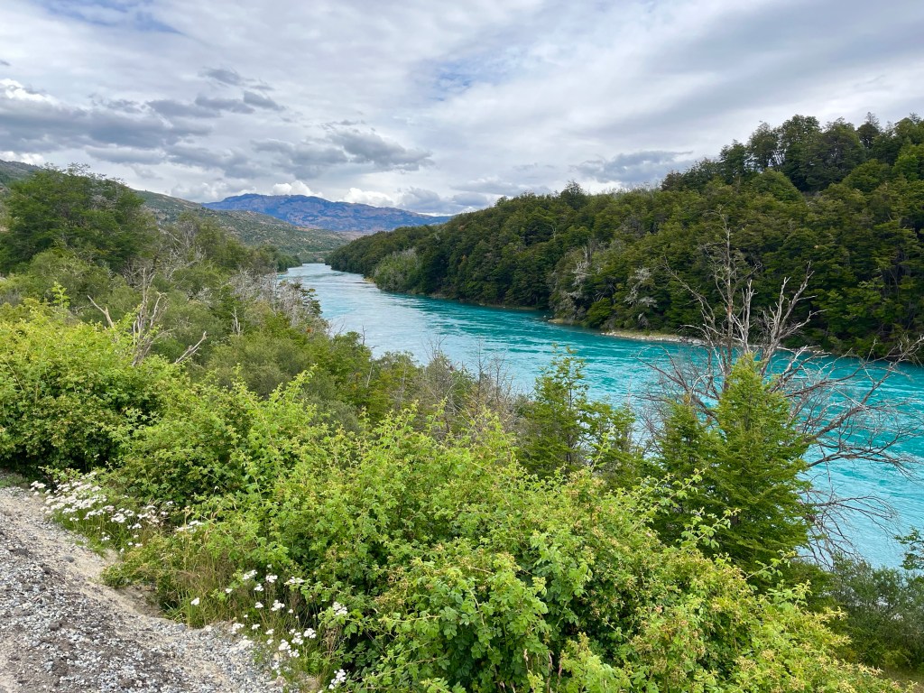
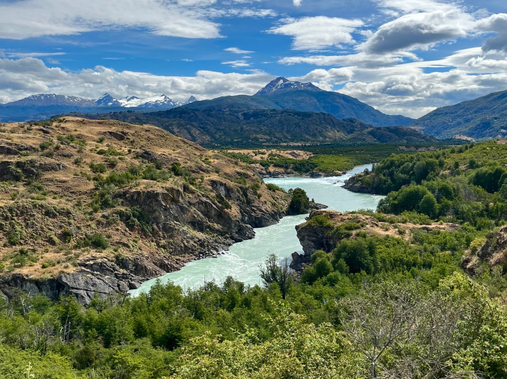
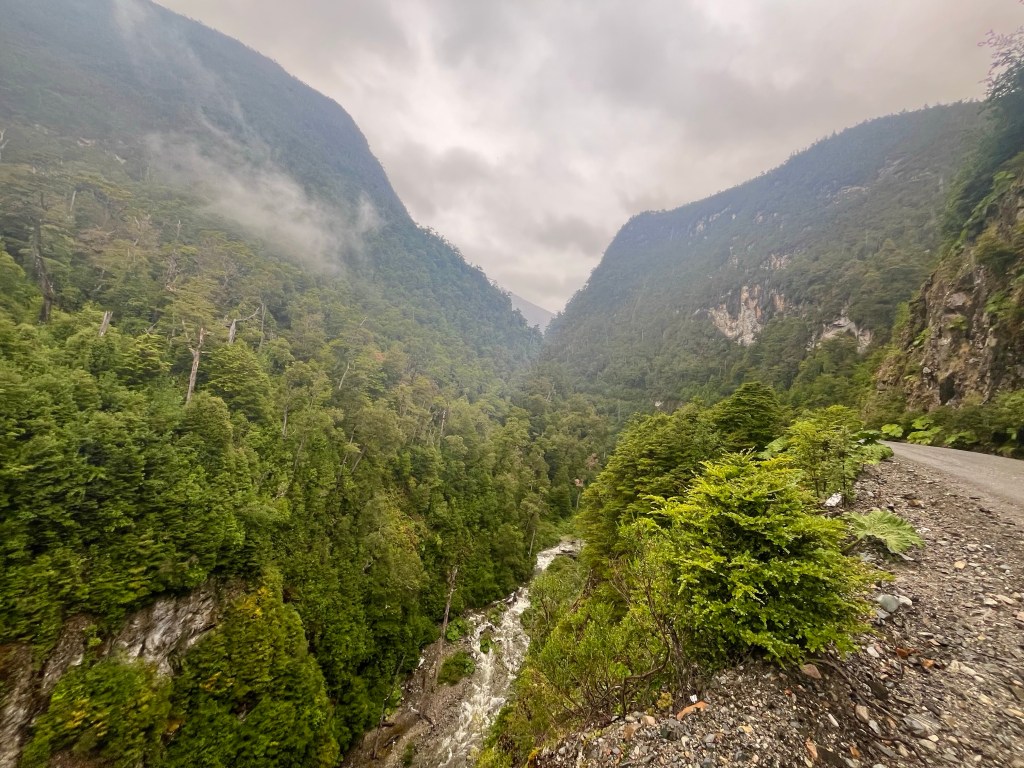
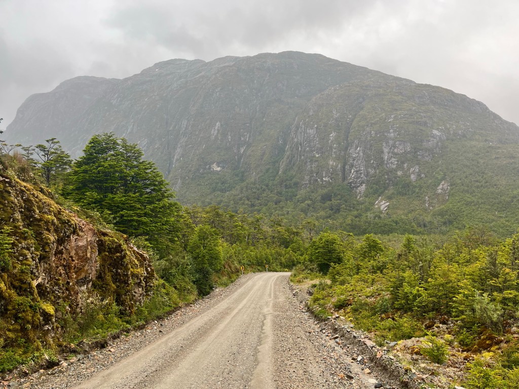
The opening hairpins were unrideable and I was forced to push up what seemed like a steep open boulder field. As the road climbed, the views back down towards the river had virtually disappeared into the gloom.

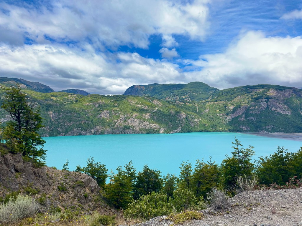
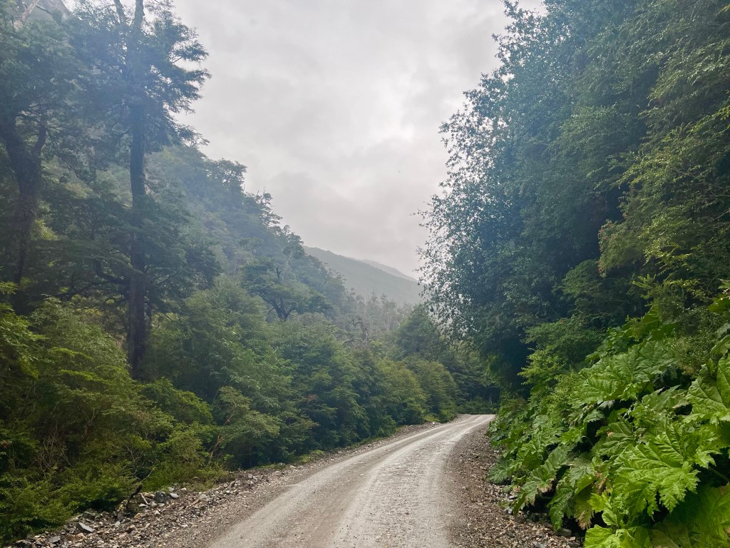
The next part was direct, steep and narrow, and with the addition of a few cars making their way over the pass, it was a tricky part to navigate, but eventually the road climbed onto a plateau and swept past Lago Caiquen.

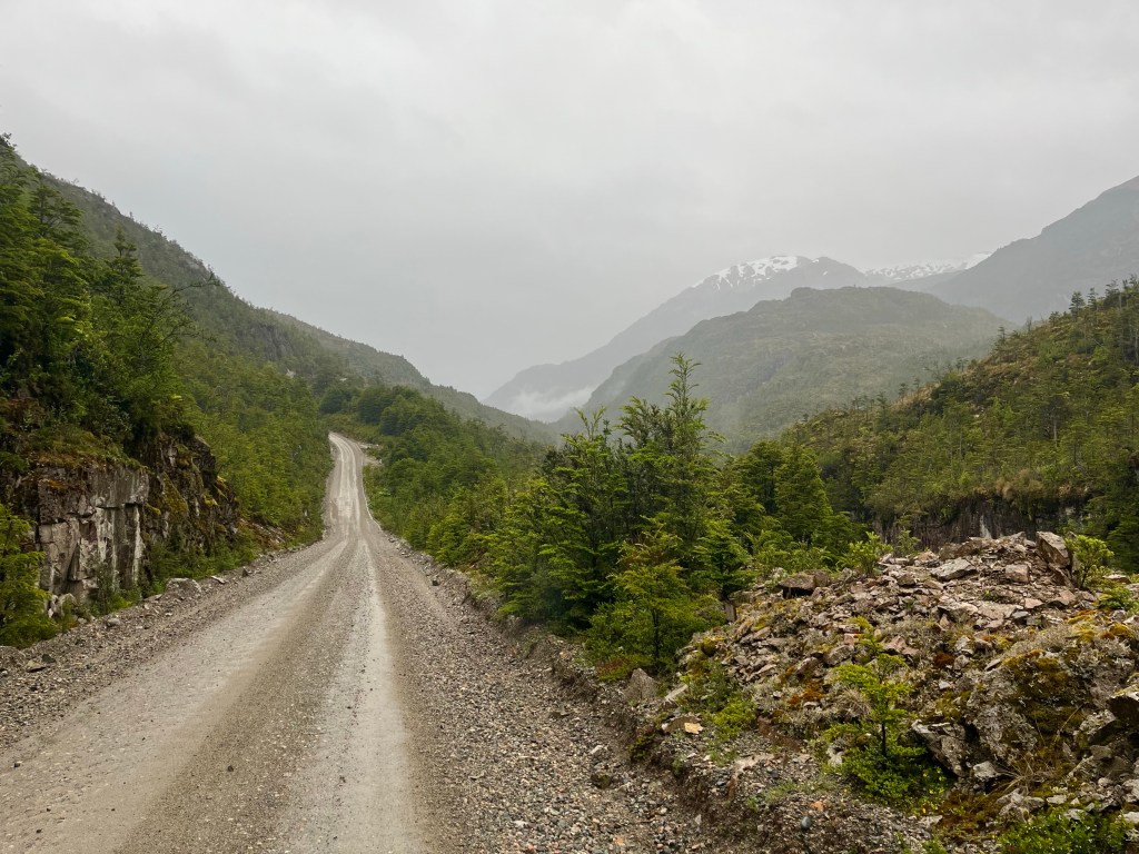
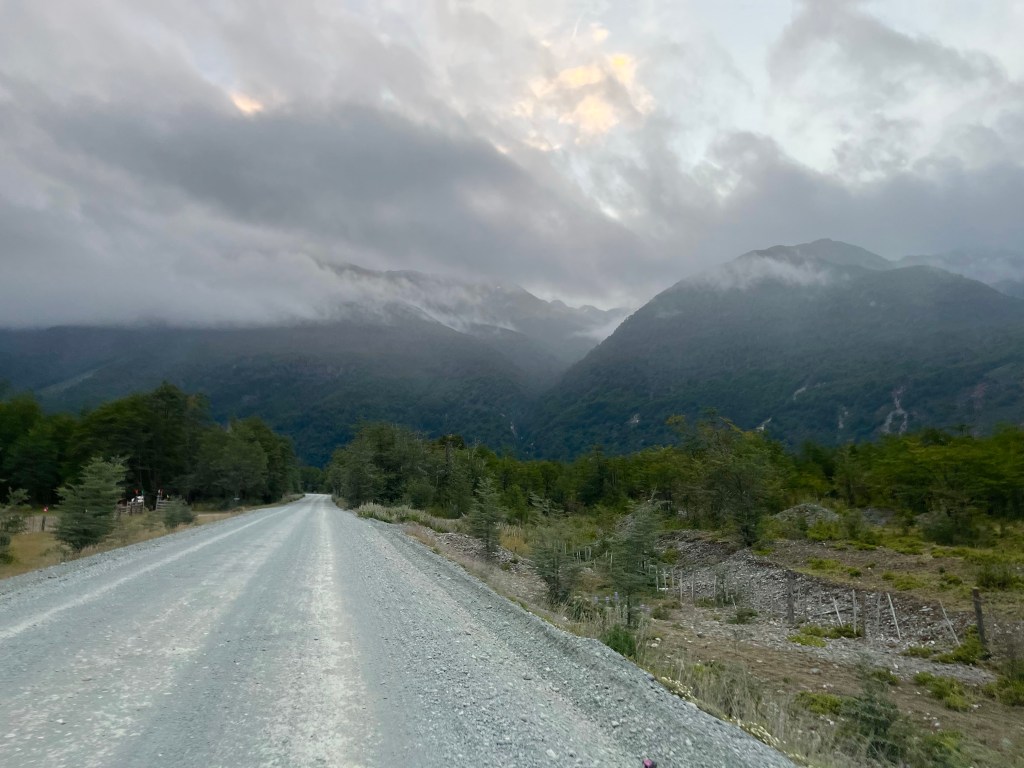
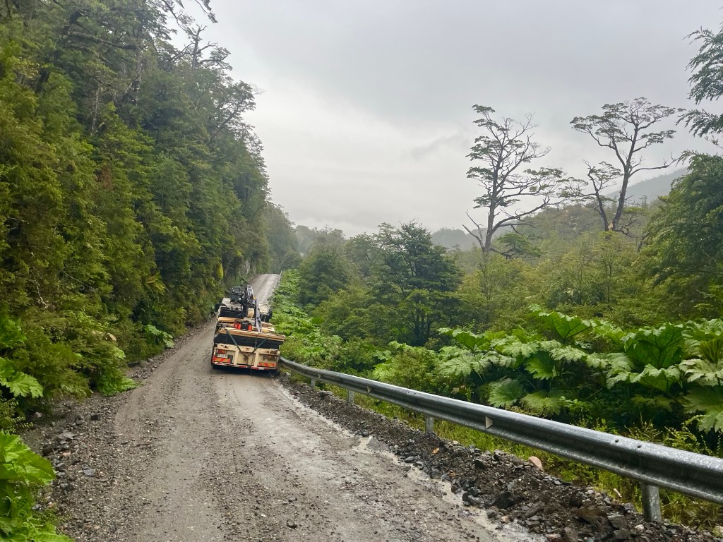
Dropping down the other side, I had to manoeuvre my way around a truck that had skidded into the safety barrier, and was now stuck, at times having to battle with my bike to stop it doing the same, thanks to brakes that were struggling in the wet conditions.

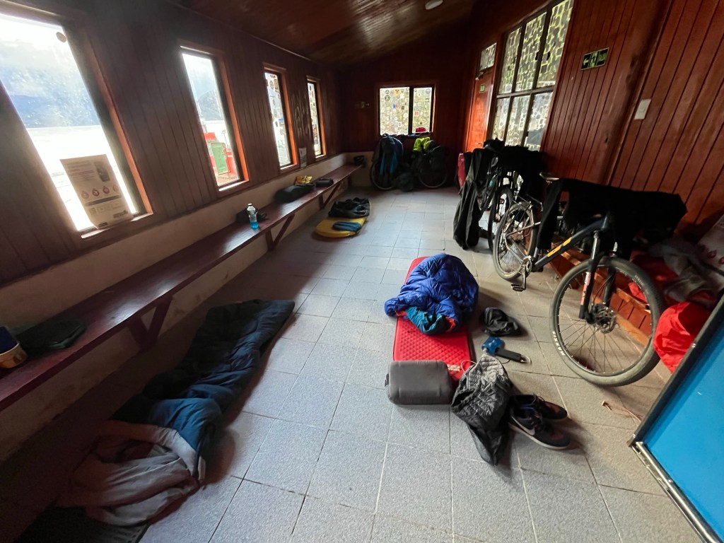
Eventually, at almost 9 o’clock, I rolled down the hill towards the ferry port at Puerto Yungay, dragging my bike up a ramp towards a building with a porch which offered some shelter from the rain, while I looked for somewhere to pitch my tent.

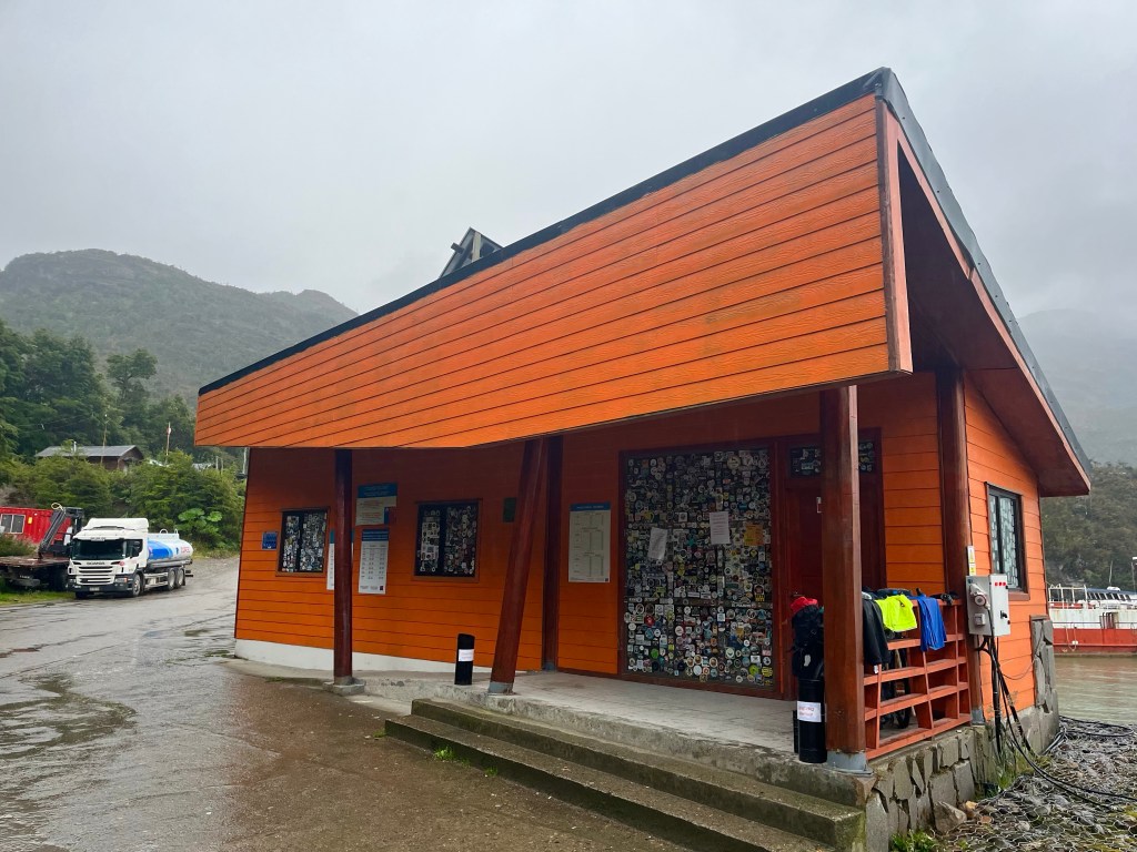
Soon after, I heard voices from inside, and then someone opened the door. You can sleep in here if you want, said one of a pair of German cyclists, Fabian and Noah, who were inside a waiting area that was apparently there for the usage of cyclists.

Fabian and Noah had teamed up while waiting, for several days, for the boat, at Candelario Mancilla, perhaps a precursor of things to come for myself as I’d be taking the same boat in the opposite direction. Yes they had the phone number for the ferry company they said, and that was the first I’d had the correct one, it was evidently a very popular service, I didn’t have a booking and now I was stuck a day away from Villa O’Higgins, without any signal. There was a boat scheduled for the day after next, and unless I was very lucky, I wouldn’t be on it.

Day 16: Camping y Cabañas Cerro Color – Cochrane

Distance: 40.71 miles

Time: 6:46

Elevation Gain: 4,055 feet

It had been a cold night, even more so as the campsite was on a plateau by a lake at 300 metres elevation. Thankfully, the campsite had a hot shower, and ample indoor space massively out of proportion with the number of guests, so I soon heated up.

Plan for the day, was an ambitious one, to reach Cochrane, 40 miles away, and with a significant amount of climbing alongside the Río Baker. Desiree had done incredibly well the day before, to back up kayaking in the morning with a hard hilly 35 mile ride in the sun, not bad going during her first week of cycle-touring.

We enjoyed a short flattish section alongside Lago Bertrand, before a significant climb took us away from the lake and, then swinging back down to its side once more at Puerto Bertrand, where we rolled steeply down to the shore, in search of somewhere for lunch.

Uninspired by the food trucks on offer, we continued out of town and climbed steeply back up the hill to a pizza restaurant, a short climb that was definitely worth the effort.

After lunch, we had a look at the mount for Desiree’s handlebar bag, which had evidently been installed wrongly by the bike hire shop and the bag was now bouncing up and down on the front wheel, over the rough roads.

Unfortunately, the cable was so badly damaged that we couldn’t fully rectify the situation, but we did find the perfect piece of wood to take up the slack.

The onwards route followed the Río Baker upriver, not content to stick by its side, the road climbed high above the gorge, through rocky and fertile terrain.

Sitting in the shade near the top of the climb, my lack of phone signal meant I missed the fact that Desiree had messaged to let me know she was having a ‘little demoralisation emergency that only chocolate could cure’, just around the corner.

Dropping down to cross the Río Chacabuco, the road switched back steeply up the other side, soon bringing us level with a large group of Guanacos, near the road. Guanacos being the wild near ancestor of the domesticated Llama.

A few more metres of elevation led to a mirador, looking out over the confluence of the rivers Baker and Chacabuco, after which the road seemed to continue eking out every extra metre of elevation gain out of the landscape, even within the last few kilometres before Cochrane, when the highly satisfying ‘Inicio Pavimento’ signalled the beginning of a dream-like concrete surface, the road climbed sharply before dropping down into the town.

Finding ourselves at the edge of the centre of town, we started looking for places to stay. Desiree, tried a Cabaña, I got the easier job of checking out the hostel. Desiree disappeared into a restaurant, I carried on down the street, trying to keep on brief, only to return to find that the restaurant had Cabins in behind and that Desiree had scoped out an ideal 2 bed cabin with bike parking down the side. Perfecto.

Day 13: Villa Cerro Castillo – Camping Doña Dora

Distance: 51.93 miles

Time: 7:28

Elevation Gain: 3,878 feet

Although the next stop on my itinerary was Doña Dora campsite, more than 50 miles away, I was still riding with Desiree and was aware that she was a lot newer to this than me, so my thought for today was to split the 73 miles to Puerto Río Tranquilo more evenly into two days, and see where we ended up, with the possible option of a wild camp in what was quite a remote section.

We stopped off at a fruteria and the supermarket to stock up on supplies before setting off out of town, there was a long climb to start the day, but the views we were seeing, and the ones we were heading too, of the Cerro Castillo mountain massif made it all worthwhile.

Soon we reached the dreaded ‘fin pavimento’ sign, where, effectively, the tarmac ran out for the rest of the route. And, when it did, it was replaced with the worst surface imaginable, large chunky stones right across the carriageway, and with a regular procession of trucks and pick up trucks for company.

The views along the Río Ibáñez remained sensational, with one sweeping downhill bend offering incredible views of the river’s flood plain and an en-widened meander in the glacially-fed river.

Once we reached level ground, down alongside the river now, the going was tough. There was a strong headwind, the first occasional showers for a week or so, and the road surface itself was punishing, with an occasional smoother track near the middle, and with patches of washboard, alongside deep pools of dry dust as the road dropped towards the edges, oftentimes where we forced by the fast-moving oncoming traffic.

A little low in energy, and certainly in motivation, Desiree had stopped up off the road up ahead, to take on some fuel. She had already forewarned me for what might happen next, that she was going to try to get a lift in a pickup truck. Not happy at having to abandon her by the side of the road, I offered to stay until she found a ride. But she remained resolute, she did this all the time, and she’d be fine, and as someone who’d lived in Argentina, Peru, Ecuador, and Myanmar, she was probably in a better educated position to say that than most.

I re-evaluated the situation, it was nearly 4 o’clock and I’d only covered 15 miles or so, some of which had been extremely rough and punishing, however, I started to make strong progress in the challenging conditions, and quickly re-set my target for the day to Doña Dora campsite, which would be 50 miles for the day.

For 10 miles I pushed on, making good headway, until I reached a long steep slope of thick damp dirt, my wheels skidding on the peculiar surface, until I reached a layby, near the top, and stopped to take in the views of another fine bridge far below.

At that point, there was a toot from a passing pickup and I spotted Desiree happily waving from the passenger seat, it seemed likely she’d continue all the way to Puerto Río Tranquilo today.

After the long steep hill, the road started to undulate steeply along the side of Laguna Verde, and this trend in road profile remained, even when I reached a pronounced bend in the road, with my direction switching from West to South, and the delight of escaping the headwind, tempered by repeatedly energy sapping climbs.

The road was in a high valley along the river when I pedalled the last few miles to Doña Dora campsite at 10 o’clock, only shortly before dark. The camping spot was in sparsely populated forest-land at a farm, and the sole other occupants were an Argentinian couple with a campervan, who were hunkered down in a cosy communal cabin maintaining the fire, it was much appreciated when I was cooking up some pasta in the early hours of the morning.

Day 11: Coyhaique – El Blanco

Distance: 24.5 miles

Time: 3:17

Elevation Gain: 2,018 feet

After a reasonable sleep in the hotel, I was feeling tired after the long day in the hot sun, yesterday. Today was to be even hotter, peaking at 29°, so after breakfast, as I considered the possibility of packing up all my equipment and getting back on the road, I also considered the fact that this was roughly the half way point of the route between Puerto Montt and Villa O’Higgins, and I still had plenty of time to spare, so I came up with a better plan, take a day off. Unheard of for me on a trip, after the pedalling had started, but there we go. I booked another night in the hotel, and made for the sauna as that seemed a sensible idea when it was almost 30° outside. My watch had told me that I was only 32° acclimatised to the heat conditions, so clearly there was some work to do.

In the afternoon, I popped along to the pharmacist to pick up some eyedrops, in case there were dust based issues down the road, and then I made for the hardware store to pick up some WD-40, to give my bike a little TLC before the tarmac ran out for good.

In the evening, I headed into town, with my sights set on the best pizzeria around, Mamma Gaucha, which was handily placed on the one short pedestrianised area in the centre.

As I approached, I suddenly realised that I recognised the party of three sitting at one of the few tables outside. Or I thought I did, before realising that it was the German girl and the Dutch guy from the group of three cyclists that I’d met before, but on this occasion they were with another cyclist, Jan, from Sweden. I didn’t have to wait long for the Australian from the original trio to join the party. Would I like to join them, yes that sounded like an excellent idea.

One Hot Honey Pepperoni pizza and a few IPAs later, someone had the bright idea of finding another bar, and that we did, finding what seemed like a small local bar that was quite empty on what was a Monday night. But, as the night went on the bar got busier and busier, and then the Karaoke started…

As we all made to leave, at after 2 in the morning, I felt that it was no longer too soon to ask the question. So, what are your names? And now I can share for posterity, that the German girl is called Klara, the Dutch guy is Ry and the Australian is Marcus.

Perhaps unsurprisingly, the next morning, I was in no rush to leave town, so I headed in the direction of the supermarket, stopping at the bike shop to pick up some handlebar tape en route.

On reaching the supermarket, one of the German couple was guarding their bikes outside, so I went to say hello. This was Fabian and his partner was Helena. 100 yards down the street I bumped I into the Swiss couple from the campsite the other night, on their way to lunch. Pierre and Claire, who were keen to know that my eyes had improved. Coyhaique had been an excellent place to be for bumping into fellow Carretera cyclists, and even better for finding out their names.

Before I left town, I sat in the square and wrapped a second roll of handlebar tape around my bars, anticipating that my hands would be less keen on the gravel roads than they had been on the tarmac.

After lunch, I set off on what would be part 2 of the Carretera Austral, things were about to become a little more challenging, but first I’d amble along the 20 miles to El Blanco, and leave the climbing for tomorrow.