It has not escaped my attention that 2026 will signify a decade since I started writing this blog, and so, I thought it would be a good opportunity to mark the occasion by ticking a fairly significant cycle-touring challenge off my list: namely, the Carretera Austral, or ‘Southern Highway’.
The Carretera Austral is an 800 mile sliver of tarmac and gravel, that cuts through a sparsely populated, and geographically complex, portion of Chile’s Patagonian Lake District. Begun by General Pinochet in 1976, the route was only fully realised in 2000, and links a series of tiny – previously isolated – coastal communities between Puerto Montt in the north, and Villa O’Higgins in the south.
As Villa O’Higgins is a long way from an airport that offers regular commercially-available flights, there is the added complication that I will need to push on farther south, via a combination of ferries and hike-a-bike, to reach a remote Argentinian border post near the popular trekking hub of El Chaltén, before continuing southwards and ultimately crossing back into Chile, ending the trip in Puerto Natales, which, conveniently, offers the dual purpose of providing a means to onward flights, and also acting as the perfect launchpad for visiting one of my longest-serving bucket list destinations, Torres Del Paine National Park.
It would be something of an understatement to say that I am extremely excited about having the opportunity to undertake this adventure, one that I had been contemplating for many years, before seriously considering it for last winter. Then, when I spotted that Pierre – who I cycled with in Vietnam in 2020 – was attempting the route, last year, I was determined to get – not only – some advice about the challenges he had encountered, but also an endorsement that I should do it too…
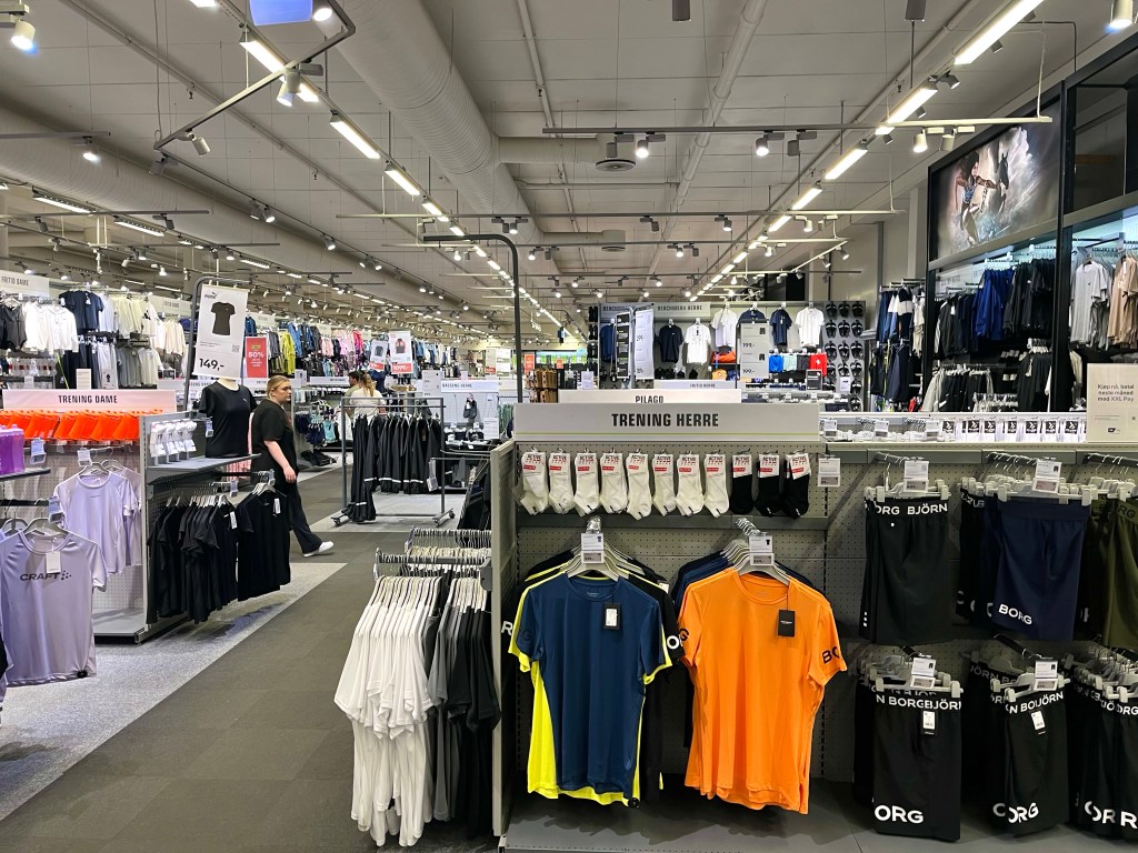
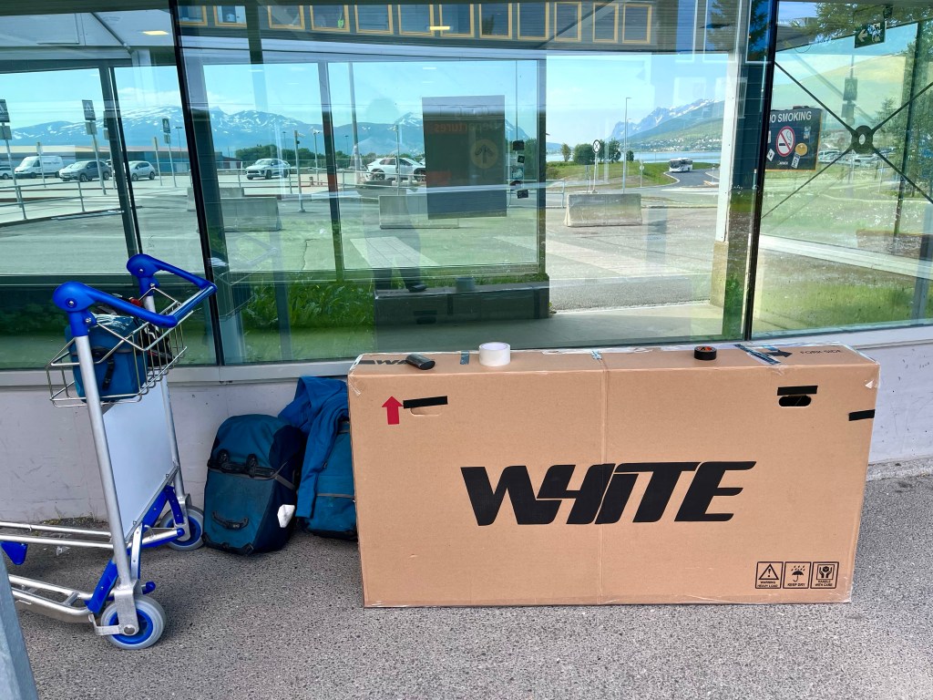
At around 6 o’clock, on the Friday evening, I hurried into the large XXL sports superstore, and sought out the bike department, asking the first member of staff I encountered if they happened to have any bike boxes available.
Having seen a collection of them on the shop floor, I was feeling optimistic, but it seemed that those boxes were already reserved for other cyclists, and the only one that appeared to be unaccounted for looked distinctly smaller. She could let me have that one, but it would cost me 250 Krone (£18.35).
Aware that there was such a high demand for bike boxes in Tromsø, that it had become a revenue stream in itself, I had thought that the shops might have made branded boxes available to sell, as I’d encountered in Vietnam, but these just appeared to be the boxes that new bikes arrived to the store in, and there wouldn’t be any more new bikes being built until after the weekend.
As I was concerned that the box I’d been offered was a bit small, the salesperson headed off to see if they had any others in storage, and I quickly took the opportunity to measure the box. It was definitely smaller than the one I’d had when I travelled to Norway in the first place, and it turned out that they didn’t have any other boxes hiding away in storage.
Perhaps all was not lost, however, as the girl suggested that there was another bike shop further around the retail park. So on finding my way over to Tromsø Ski and Sykkel, I rushed inside. The salesperson enquired as to whether I’d reserved one, before apologetically stating that they didn’t have any available.
I was regretting not taking the first box I’d been offered. It was Friday night and my flight wasn’t until Sunday afternoon, but the salesperson in XXL had already admitted that they would be unlikely to be building up bikes again until the Tuesday, so other boxes were unlikely to become available. I had read that Tromsø airport kept the boxes that cyclists brought their bikes in, so it was possible I could get one when I arrived at the airport, but was it worth the risk? I decided not, back to XXL I went.
Hoping that the salesperson hadn’t taken offence at me rejecting the box the first time, and that no one else had turned up to snaffle it, I headed back into the shop. Although it looked a little small, I said, I was sure I could make it work. But there was a potential spanner in the works, ‘could I take it with me’, I was asked, ‘as that would be best for them’.
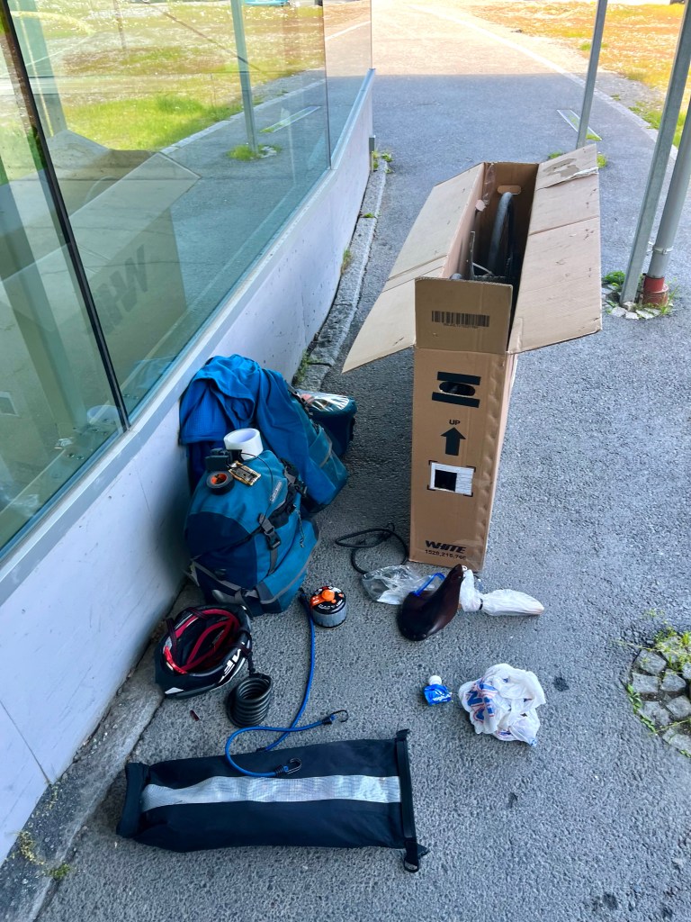
With nothing else for it, I dragged the large empty cardboard box back outside and over to where I’d left my bike. One thing was for certain, my 1000+ mile ride down the length of Norway, from Bergen to Tromsø, had finished here, outside a shopping centre on the outskirts of the city.
I was in a quandary, if I dismantled the bike here, and put it in the box, I’d have a bike box, two panniers and my handlebar bag to get into town, so would probably need a a taxi, and an extra large one at that. Another issue with that was that I hadn’t booked a hotel yet, so I’d also need to decide where to stay before I booked the taxi.
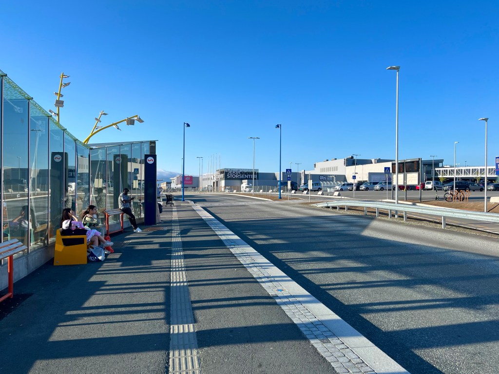
An alternative plan, though, was to fold up the box, and manoeuvre that and my loaded bicycle over to the bus stances at the other side of the car park. I could then get a bus into the centre of town – which was only 6 km away – and then pick a hotel near to where I ended up, and based on if it had a suitable area to leave my bike chained up outside. The advantage to this plan was that most of the buses in Tromsø also serviced the airport, so if I was staying near a bus stop, I’d have a readymade budget option for getting to the airport on the Sunday.
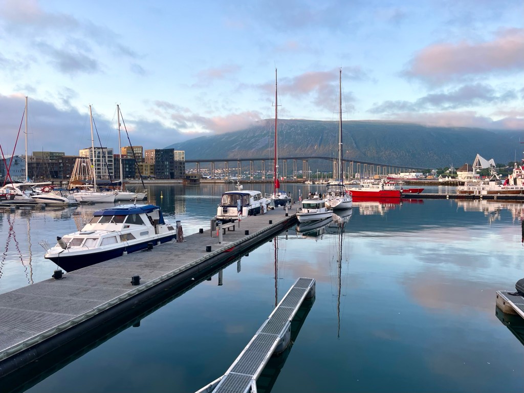
Not far from the bus stop was the Home Hotel Aurora, and although it was right on the harbour, it had a fairly private car park located to the side and a bike rack at the front door. It looked like a perfect spot for leaving my bike for a few days. Having stood outside booking my stay online, I walked inside carrying my valuables: the handlebar bag and the folded cardboard box.
‘Michael’, the lady at reception asked before suggesting that if I wanted to leave my ‘carton’ by the desk, it was the last 15 minutes of the complimentary dinner service, so I could have dinner now, and then check in afterwards. I liked this place. I liked the meatballs, mash and vegetables they were offering for dinner, and I liked the sauna and rooftop hot tub with harbour views.
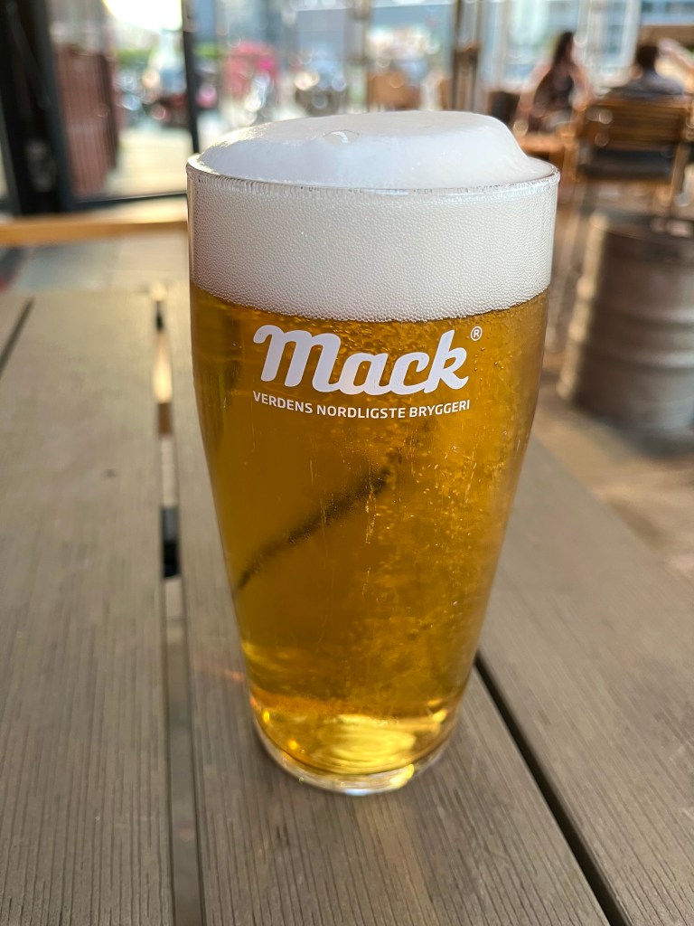
Later in the evening, I dawdled along the waterfront, eventually finding a nice looking beer terrace at the bar, Rorbua, so went inside. Eyes only watering slightly, from the £9.50 beer from Tromsø’s Mack brewery, I tried to forget the £7.30 entry charge entirely. One thing I definitely wouldn’t miss about Norway was the prices.
Absentmindedly heading back to the hotel, at after 1 am, I hadn’t realised that I had become a sitting duck to the many seabirds circling above the seafront. Their squealing and squawking had become a tedious soundtrack to my journey at all hours of the day and night, so I was paying little attention, when I felt a whoosh of air, and an impact on the top of my head. Making for the cover of a nearby awning, I started to pick my route more carefully back to the hotel.
On googling ‘divebombing birds in Tromsø’, I realised I should have known, and I’d come full circle, I’d finally been tracked down by my old arch nemesis from Iceland, the Arctic Tern. I really do dislike those birds.
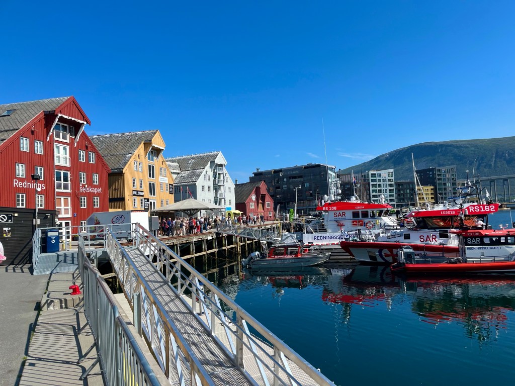
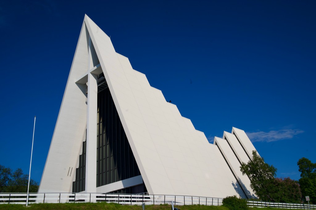
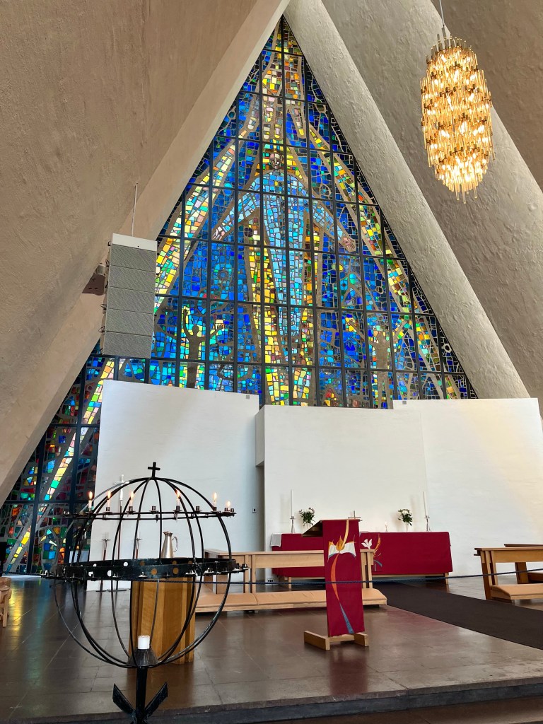
Luckily, I managed to escape a repeat attack during the rest of my time in Tromsø, and indeed I had a very pleasant stay, visiting the Arctic Museum, the Arctic Cathedral, and taking the gondola up to a high viewpoint and cafe.
On arriving at the airport on the Sunday afternoon, I set about dismantling my bike, and it wasn’t long before a couple of cyclists – who I remembered seeing on a ferry – turned up and asked if I was arriving or departing, clearly looking to take my bike box off my hands.
Unfortunately for them, I was departing, and the XXL from which I’d got my box would be closed, but I did mention the fact that I’d read that they kept boxes in the airport. Not long afterwards, however, I saw them pedalling off again empty-handed, so perhaps that isn’t as surefire a method as I’d considered it would be.
Bike packed up, I was ready to go, and there were no other hurdles to stand in my way. I’d set off for Norway, with a hurriedly sketched out plan, and was pleased with what I’d achieved. I’d flown to Oslo, been to art galleries that I’d long been keen to visit, taken the beautifully scenic train journey over the mountains to Bergen, where I’d squeezed in Lovstien parkrun.
On starting my cycle tour, in Bergen, I’d had a few days of suspect weather, almost signalling the end for my beleaguered tent. I’d also struggled to get to grips with the timetables for the many ferries, and the frequency of the many hills.
In Florø, suddenly the weather started to improve, and I would never have believed that it was only set to get better. The irregular hours of the Atlantic Tunnel bus stopped me in my tracks just when I wanted to start making up some miles.
After skipping from Kristiansund to Trondheim, I missed a ferry and ended up taking a lengthy detour around the wrong side of the fjord, but kinder gradients and stunning mountain views were ahead, before I made for another ferry from Sandnessjøen.
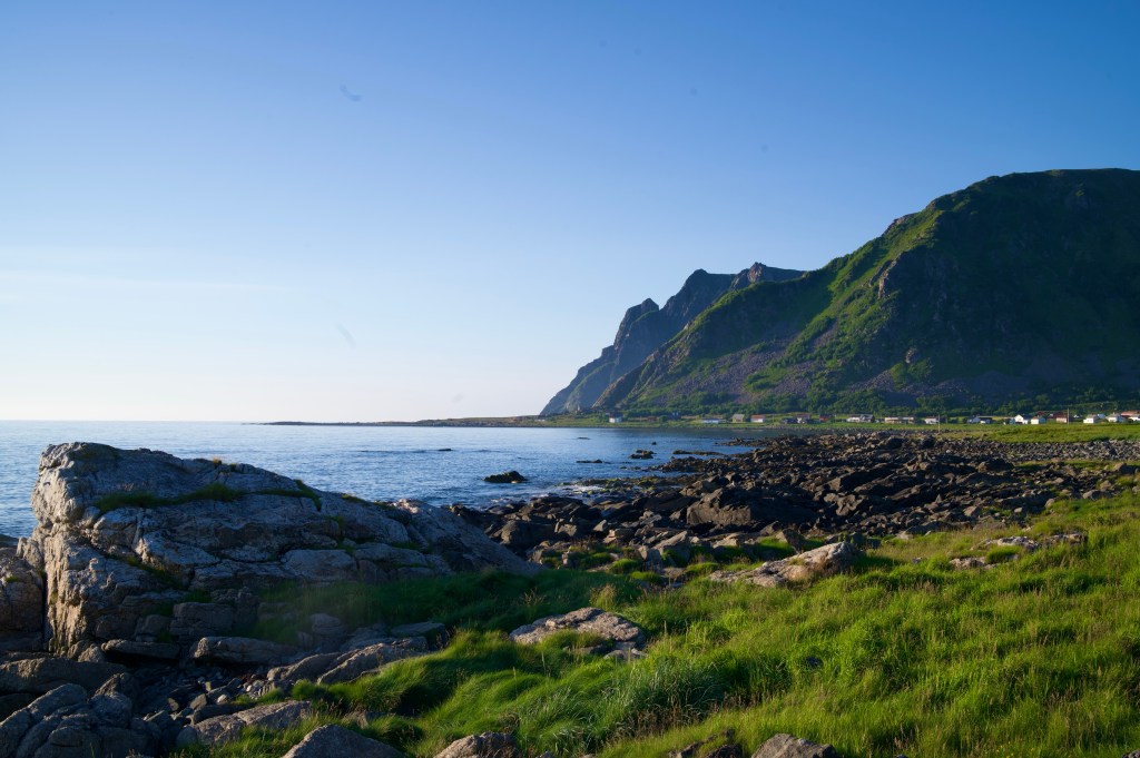
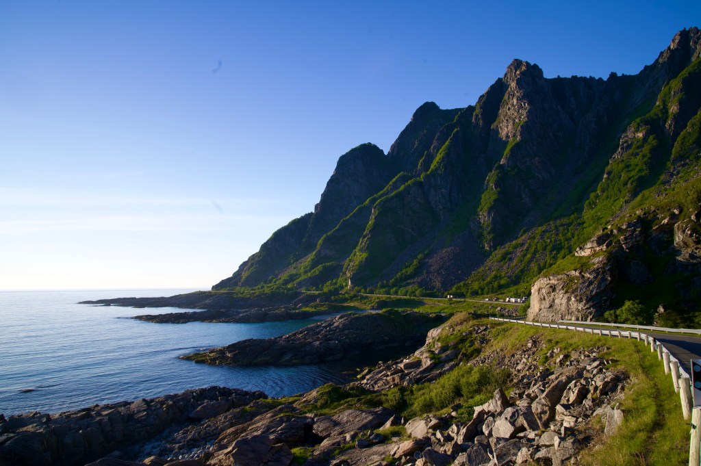
The Lofoten Islands provided a quickfire highlights reel for the trip before the Vesterålen Islands and Senja merely added the cherry on top.
Ending the trip with a couple of days in Tromsø was a decision designed to give me an opportunity to find a bike packaging solution with a little extra time in case one wasn’t readily available. But on finding one immediately when I arrived into town, the pressure was off massively and I was able to have an enjoyable time sightseeing to end the trip.
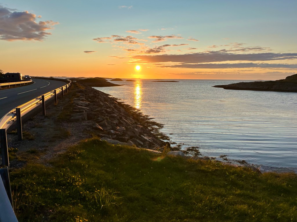
In my three and a half week trip, I’d been amazed to have almost 3 weeks of warm sunshine, and when paired with Norway’s stunning scenery, the visual rewards had been high.
Having nipped in for a shower in the morning, I was relieved to find that no one was waiting around angrily outside when I emerged from the bathroom. When I queued to go back in later – to clean my teeth – I ended up speaking to a Finnish couple who were having a lovely first trip to Norway, I had been struck by how popular Norway appeared to be as a holiday destination for countries such as France, Germany, Poland, Sweden and Finland.
I had a simple plan for the day, and it was to arrive in Tromsø before 7 o’clock, as that appeared to be when the bike shops in a retail park out at the airport seemed to be open until, and from what I’d ascertained, they could offer the best opportunity for me to pick up a bike box in which to take my bike home.
But first, there was the small detail of the rest of the route, pedalling along the remainder of the island of Senja, taking the ferry to the island of Svaløya, crossing that, and finally crossing the bridge onto the island of Tromsøya, and reaching my ultimate destination of Tromsø.
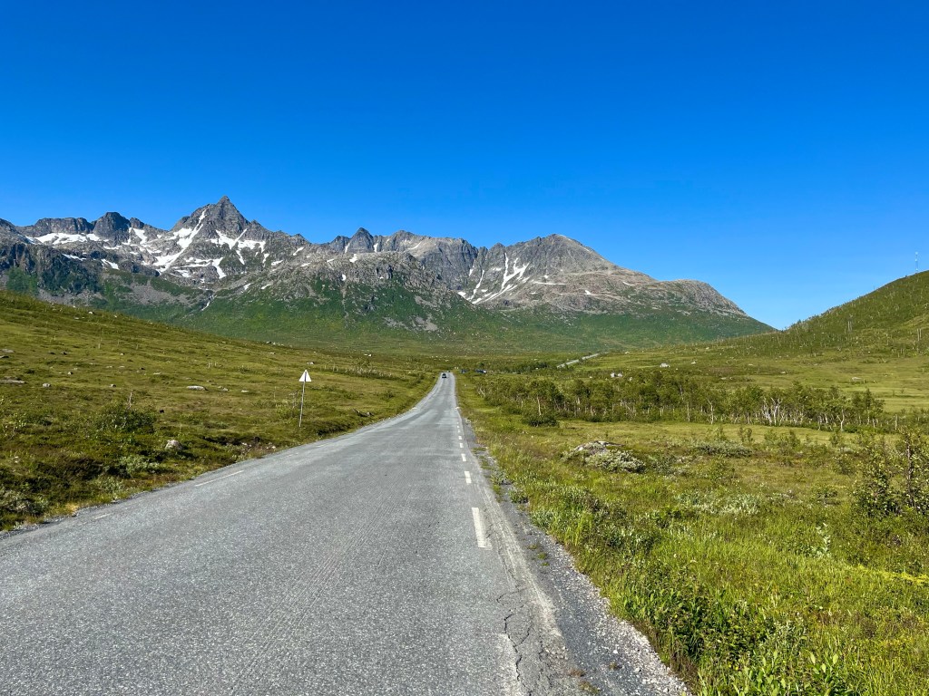
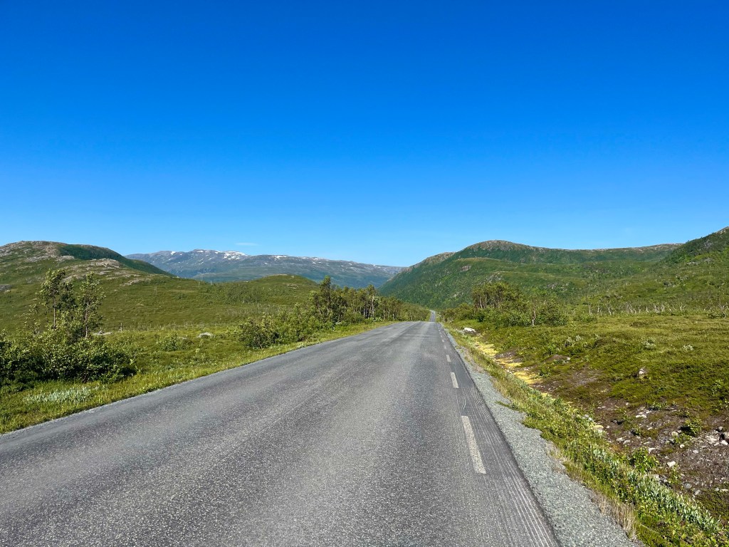
It was another beautiful sunny day, and I was surrounded by majestic mountains all around as I pedalled back along the road to Senjahopen, where I stopped at the shop to stock up on supplies for the road ahead.
Carrying on along towards the end of the fjord, the sides started to steepen until the road was funnelled towards an open tunnel. The open tunnel, then, in turn, began to burrow into the rock, and I was about half way through, pedalling determinedly through the gloom, when I was surprised by two cyclists coming the other way.
At the end of the fjord, the road turned sharply inland, and I was pleased to have arrived at the first hill, I knew there was only one climb before the ferry, so better to just get it over with, I supposed. The gradient was steep, but I felt equal to it, and soon I was looking back impressed by how much altitude I’d gained, and how quickly.
Arriving at Botnhamn, it was an hour or so until the next ferry, and it seemed like there were an awful lot of people already waiting, on top of that, the ferry didn’t look particularly big.
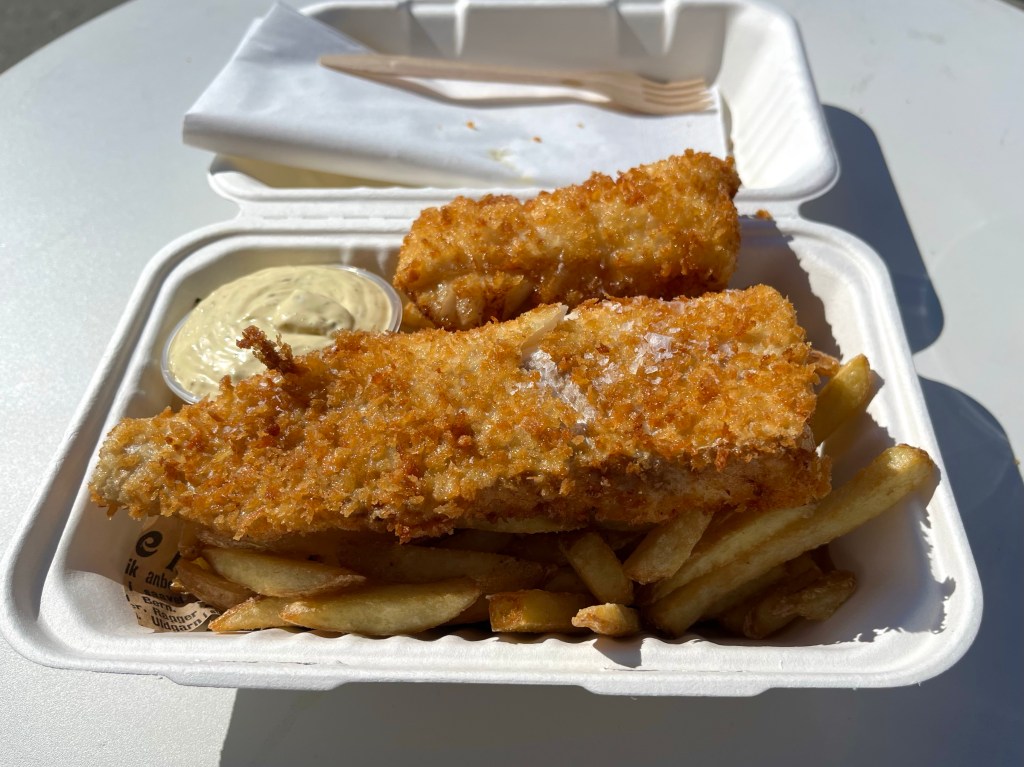
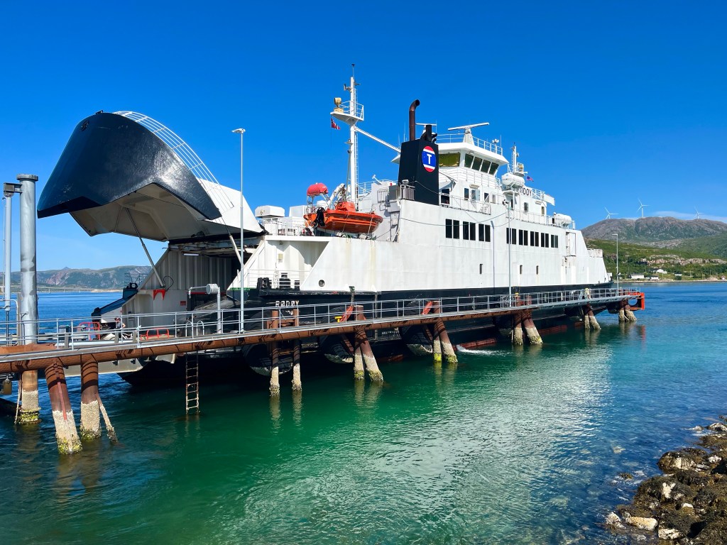
After fish and chips from a food truck beside the port, I joined a legion of other cyclists in pushing our bikes aboard, for what would be my 20th and final ferry of the trip.
On reaching the other side, at the port of Brensholmen, I was last of all the cyclists to get underway, and my thoughts started to turn once more to those bike shops in Tromsø and the possibility of other cyclists aiming to procure a box that evening as well.
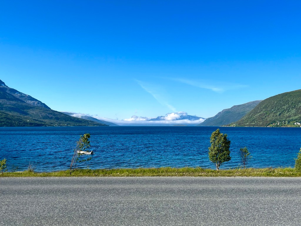
Luckily, there was a nice tailwind along the long narrow Sørfjorden and I started to pick off some of the other cyclists as I went.
Turning back again into the wind, I could sense that others would be struggling at least as much, and when I paused before the second and final hill of the day at Liafjell, I found that two of the riders I’d passed were riding hard not far behind, did they have boxes to collect too?
The final hill was tough, but I gave it a good go before I overheated and paused to rest for a moment. The road continued climbing gradually before a series of long straight downward pitches thrust me down the other side, and onto a major road at Henrikvik.
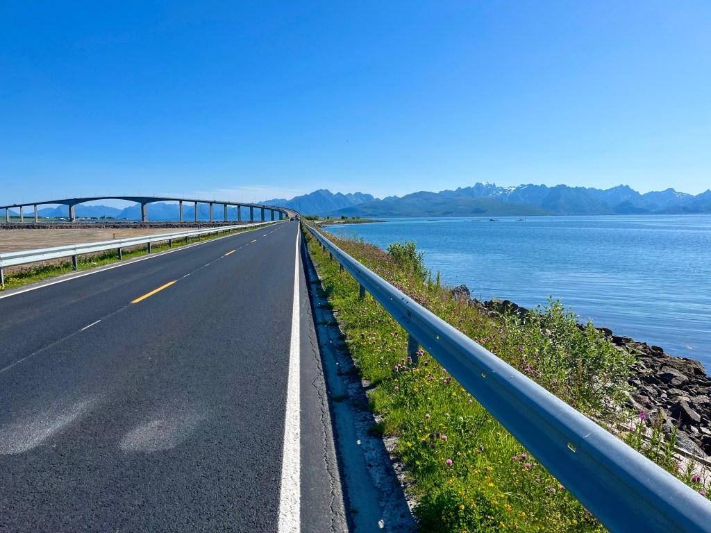
Shortly afterwards I passed a sign showing that it was only 20 km to Tromso, and shortly after that, a cycle path started alongside the road and I was delighted to take the more relaxed option for the last few miles.
Crossing the final bridge to Tromsøya, I found myself passing the end of the runway at Tromsø airport, and just across the other side was the retail park that could hold the answer as to whether my trip would have a successful conclusion or not…
While I was finishing setting up camp for the evening, another cyclist turned up looking for a flat piece of ground on which to pitch his tent, not an easy task at LOVE (Lofoten and Vesterålen Islands) Campsite. He was called Hans, and he was from Belgium, he was a seasoned touring cyclist who, after 30,000 km of use, was contemplating swapping out some of the componentry on his fancy Rohloff hub and gates belt drive touring bike set up. He’d never flown with his bike though, so he was inspired by the fact that I’d taken my bike to Vietnam and Morocco.
The next morning, I was in the campsite kitchen, talking to a pair of Swedish cousins, one of who I’d spoken to outside the shop in Melbu the day before. One of them asked me if I was doing the detour today, to which I responded that I probably would be.
After I’d set off though, I realised that they were referring to an alternative cycle route that would be a very long way around to Sortland, so having watched as the two Swedes and another big group of cyclists all headed off on the detour, I headed along Highway 82, wondering if I was the only cyclist planning on carrying on along the main road.
But on stopping to photograph the different aesthetic that the east side of the Vesterålen Islands was providing over the one the west had the day before, the group of 6 Norwegians from the previous few days yelled a greeting as they breezed on by, there were enough cyclists around for all the available routes it seemed.
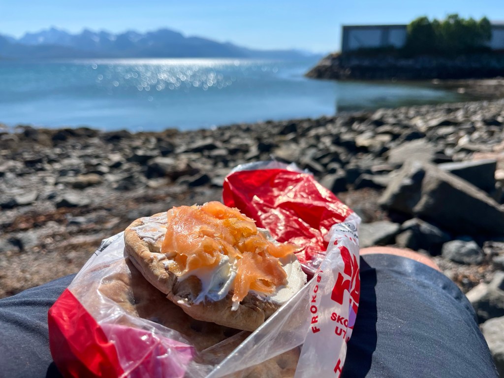
On arriving in Sortland, after 16 miles, it was time for lunch, and taking inspiration from Hans, as he had done from me, I decided to copy his dinner from the night before, picking up some smoked salmon and cream cheese, and pairing them with some bread I was carrying in my pannier.
After Sortland, it was time to get my head down and power through a few miles. The closer I could get towards the ferry port of Andenes today, the better chance I had of getting there for a ferry earlier in the day tomorrow.
Still not quite able to shake off the urge to stop to take the odd photograph, however, I was soon passed by the squad of three that I’d last seen early the day before. But then, almost as soon as I’d started up again I found them stopped along the road, and that started a new game of leapfrog as we kept passing each other, until eventually, after we’d all surmounted the extra steep bridge over to Risøyhamn, we all ended up at the local Joker store at the same time. As I’d expected, the group was Polish, but what was a surprise, was that it was a family unit, father Conrad, his wife, and their 13 year old son. It was amazing that they were riding along so strongly together, and quite an undertaking for their son that they would be spending two and a half weeks travelling from Bodø to Nordkapp, apparently it had been a long time in the planning.
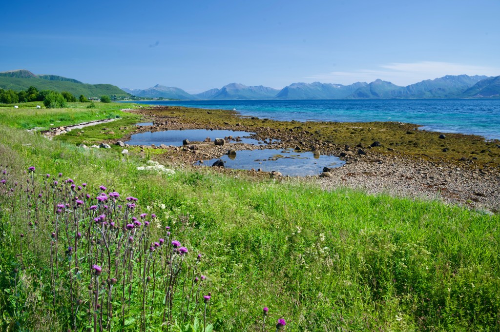
After Risøyhamn, it was all about banking a few extra miles for the day, but as the road crossed to the west coast, the landscape became something very special indeed, the land interfacing with the sea in a way that reminded me of, not only, those islands on the edge of the Atlantic in Scotland, the Outer Hebrides, but also where the Pacific meets the Oregon coastline, in America.
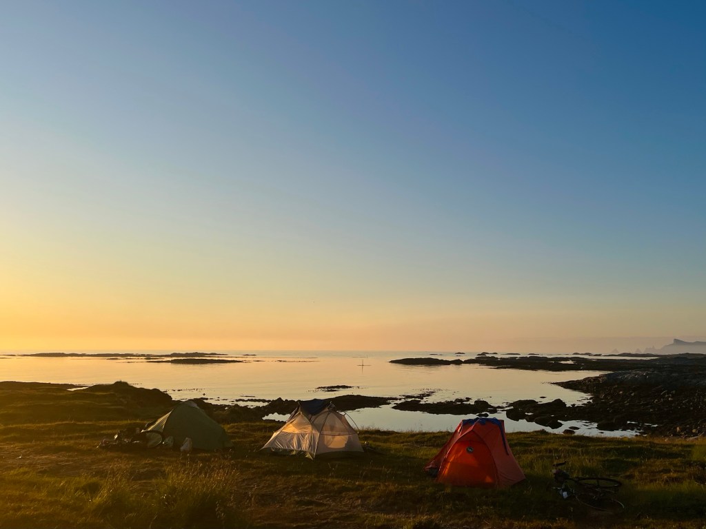
The area around Nøss was clearly a very popular wild camping area, with lots of great spots, but I was running low on water so looked to see if there were any public toilets up ahead. Then I found one just 1 km away, a toilet block, with sea views. I would be able to get water to cook my dinner, not that it mattered as it seemed I’d run out of gas.