It was a beautiful morning in the campsite, and Arijit and I had a leisurely breakfast before setting off. Our route carried on for ten miles, across Otrøya, with some long gradual climbs along the coast.
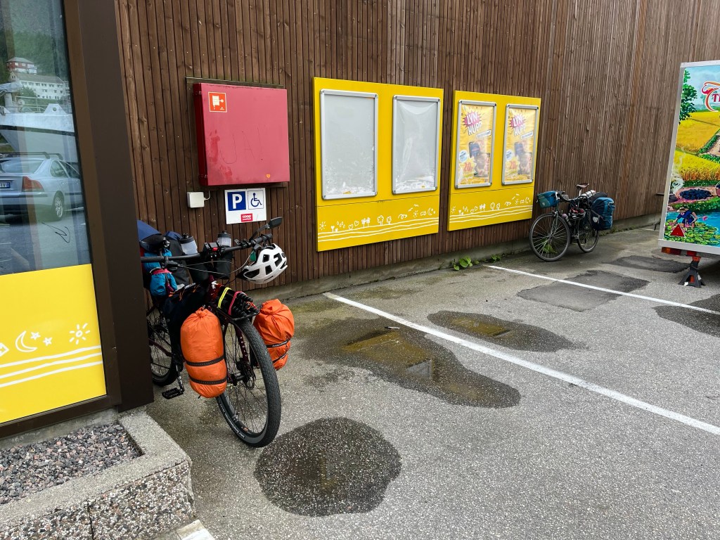
After crossing back onto the mainland, slightly west of Molde, we struggled up another hill in the warm sunshine, before stopping at the large ‘Extra’ supermarket in Hollingen to pick up a few things for lunch.
Soon, we started the long circumnavigation of Frænfjorden, and as it neared 6 o’clock and 30 miles for the day, we stopped again for something to eat at a petrol station cafe. Arijit having fish and chips, and me, an enormous chicken doner platter.
It was all the fuel I needed to sustain me for another few hours, and just as well too. Up ahead there was a fork in the road where Arijit would be turning left and cycling a few more miles to the next campsite, and I’d be turning right, cutting the corner of the route before hoping to press on to Kristiansund that night
The evening was still young, and secretly, I had aspirations to reach the ferry onwards from Kristiansund by half past 11 and carry on pedalling for a few more hours into the night.
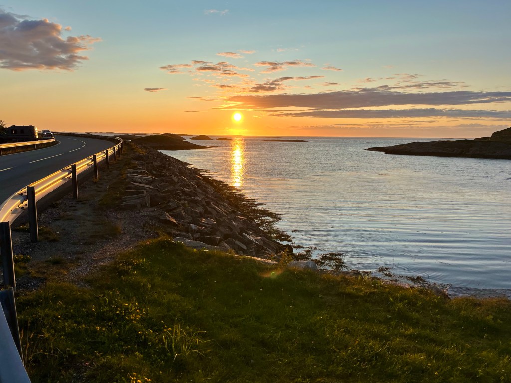
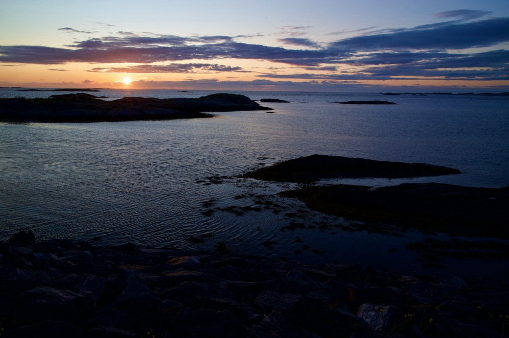
But, there was a spanner in the works, and having blasted across the hinterland to Farstad, and admired the stunning views along the Atlantic road, I stopped just outside Kårvåg and checked the time of the next atlantershavstunnelen tunnel bus. It was half past 9 in the evening now, and the next bus wasn’t until 12:41 the next afternoon. It was the end of the road, I wasn’t allowed to cycle through the 6 km underwater tunnel, and there were no other ways across to Kristiansund without going a very long way back the way I’d come.
My grand plans to make up miles had been hijacked. With ferries all along the Atlantic coast route often running until at least midnight I hadn’t even thought to check when the last bus might be.
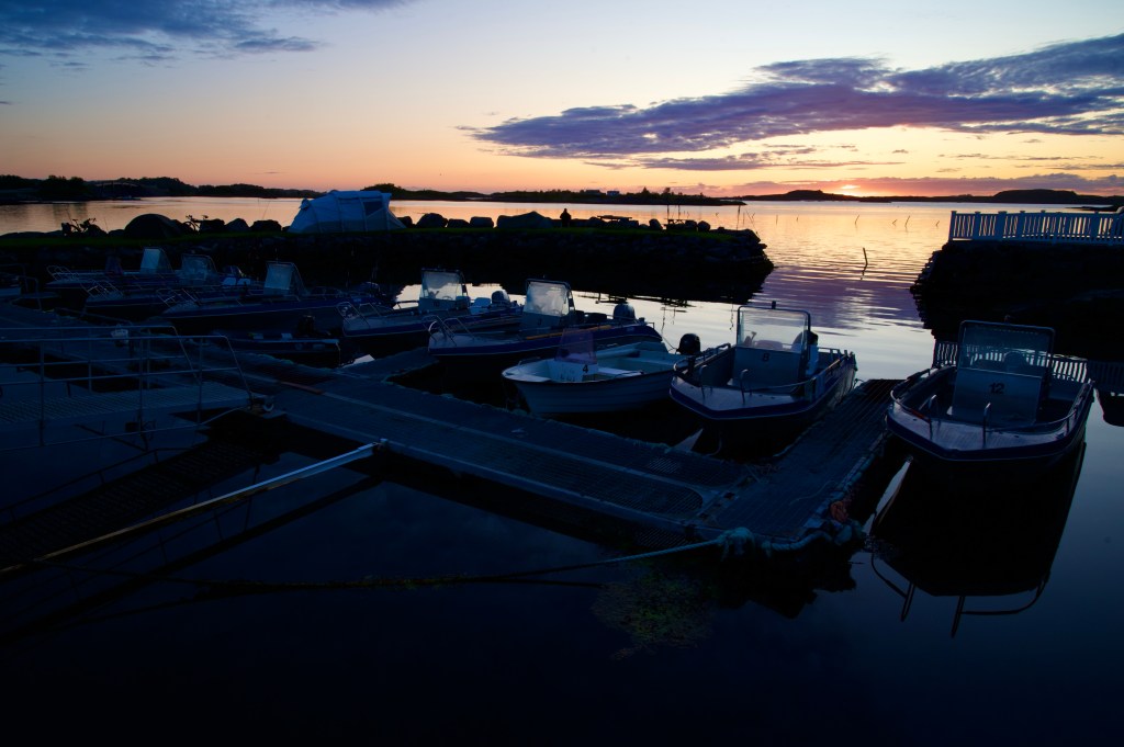
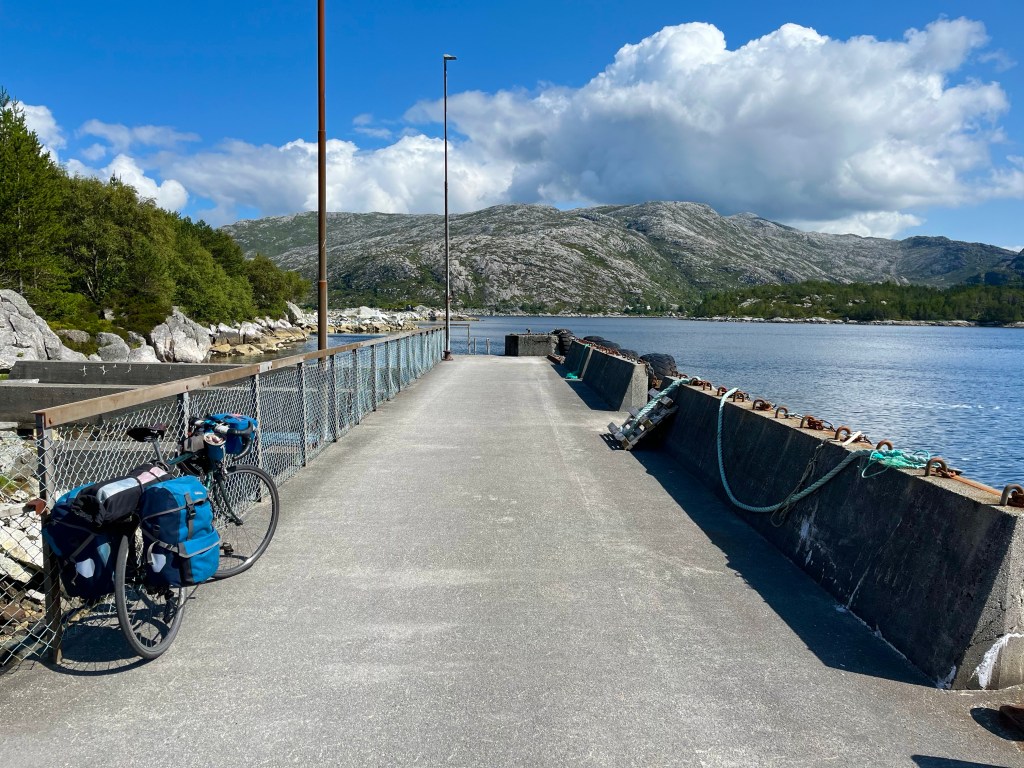
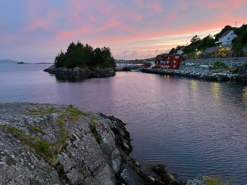
Deflated, I pedalled back along the Atlantic road looking for a spot to camp amongst the rocky outcrops, before eventually returning to Kårvåg, and finding a small campsite just off the road by a harbour.
Although I’d racked up 63 miles for the day, and cut out a section of the route, with only two weeks remaining of my trip, and a significant distance still to go, I would need to plan my next move.
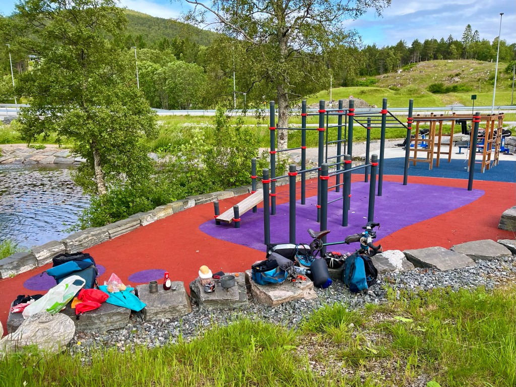
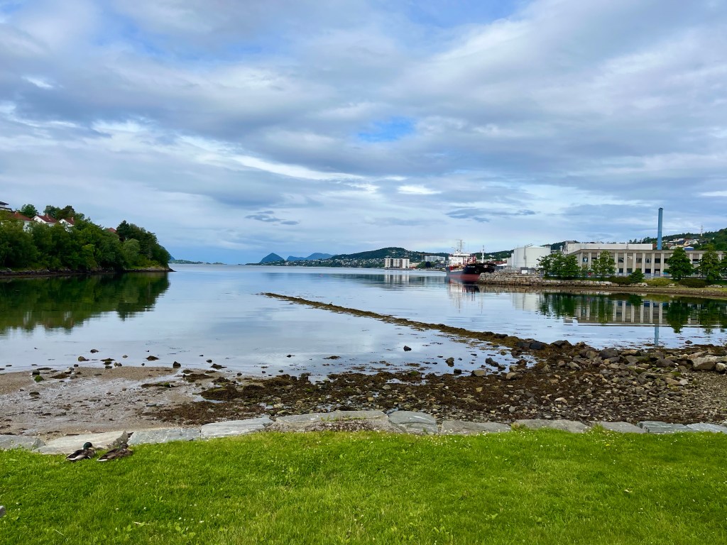
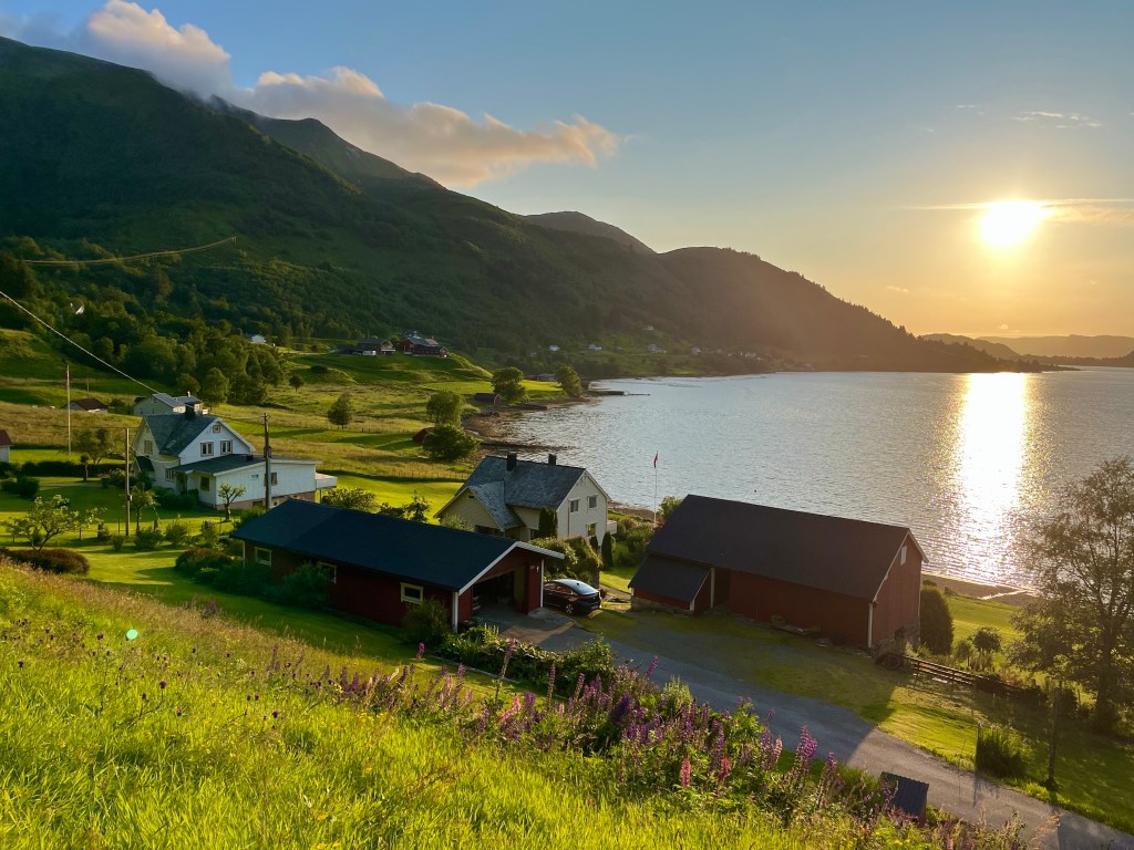
I packed up on the wall beside a large multi-gym by the side of the lake, keen to make an early start to make for the ten past 11 ferry out of Ålesund.
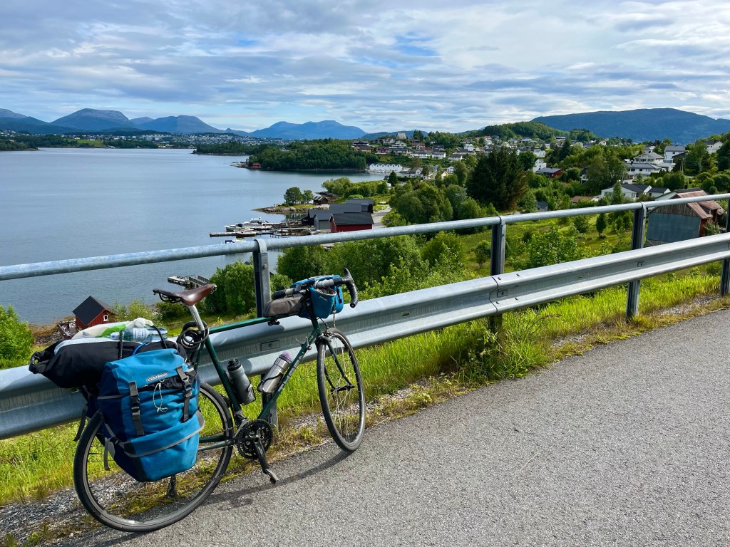
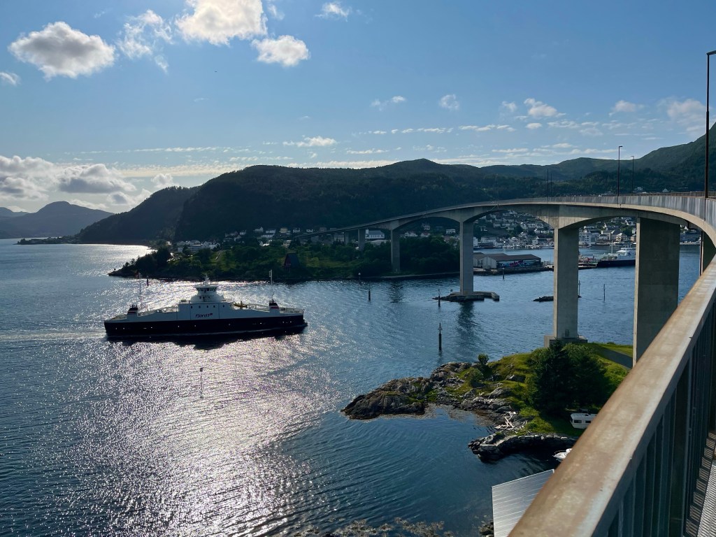
Setting off along the 61, a short climb led me to a tunnel and from the other side, I could see the whole greater Ålesund area spreading out before me. It looked flat and fast, if I could just stay on this road, I’d be there in no time.
As it was my phone battery was running low, and as I approached the town, I suddenly noticed that highway 61 had become the E39, and the road started to drop towards a tunnel, and the sign was clear, no bikes.
Turning around and exiting at the previous sliproad, I attempted to follow the cycle path route into Ålesund, but trying not to use my phone for navigation, and just using what I thought were the signs denoting the route, I first of all ended up following the route in reverse, and then I followed a purple bike sign that took me off at a complete tangent, and when I tried to realign myself with the route ended up finding I no longer knew which way I was headed at all.
Needless to say, by the time I made it to the Ålesund ferry terminal I was 10 minutes late, it was 20 past 11 and the next ferry wasn’t until 14:35. I’ve probably mentioned this before, but I hate cycle paths…
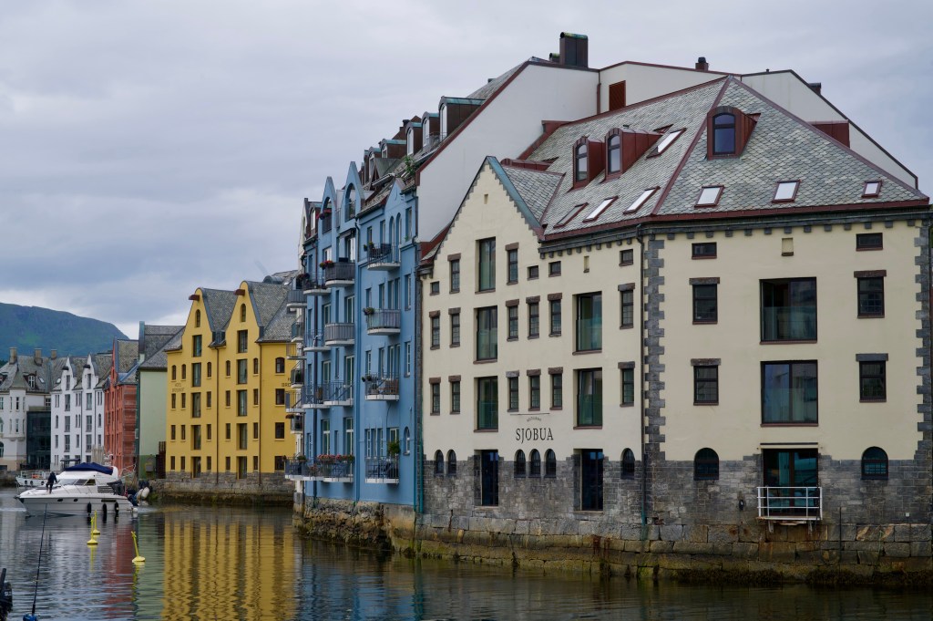
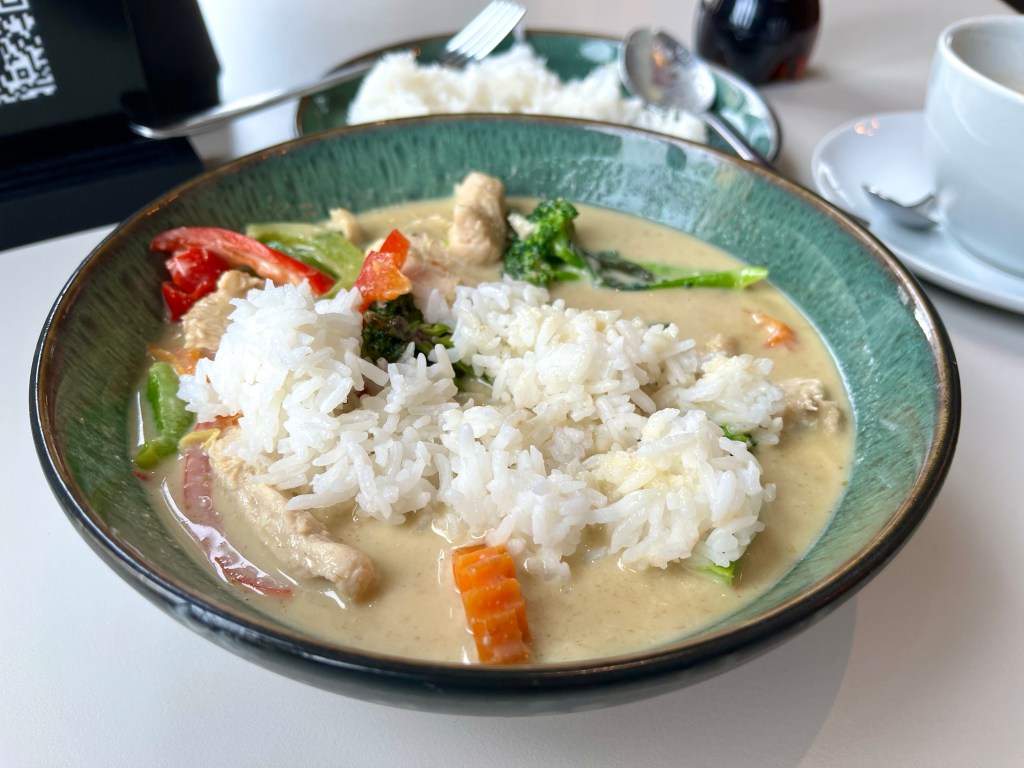
With significantly more time in Ålesund than I’d expected, it did give me time to appreciate the famed Art Deco harbour, and find an excellent Thai restaurant, Soi One, for a green thai curry.
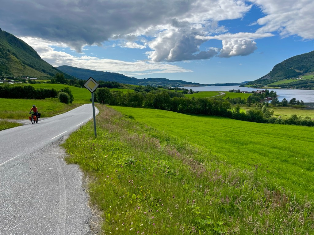
When I arrived back at the terminal, I found that I wasn’t the only one who’d been waiting a considerable time for the ferry, when I met an Indian cyclist, now based in Hamburg, Arijit. He had started his four month trip from Hamburg before traversing Denmark and taking the ferry to Norway’s southerly port city of Kristiansand. From there he’d been working his way down the Atlantic coast route, and would be continuing north all the way to Nordkapp.
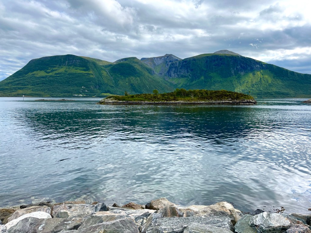
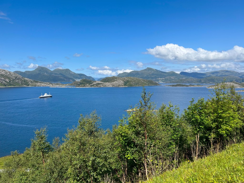
We were each thinking of staying at a campsite just past Midsund, 30 kilometres and another boat ride away, so after leaving the ferry in Hamnsund, we carried on together around two sides of a remote outpost of the mainland, a little sunshine and the hint of a tailwind providing rejuvenating companions. The rest of Arijit’s trip had not been like this.
Another ferry later, and we were sprinting around the mercifully flat island of Midøya, the road leading to the aptly named Midsund bridge, rising – as it did – steeply over the sound below, and onto the next island of Otrøya.
Stopping for supplies in Midsund, we didn’t spot the Thai takeaway truck in the supermarket car park until after we’d been inside, but a few satay skewers were unlikely to put us off our dinner.
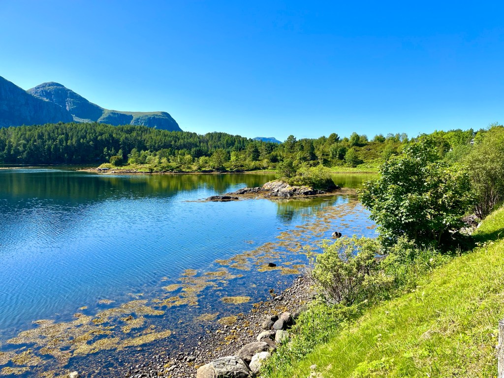
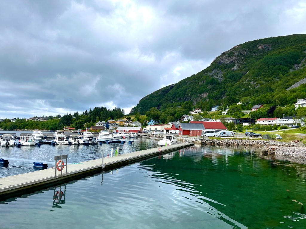
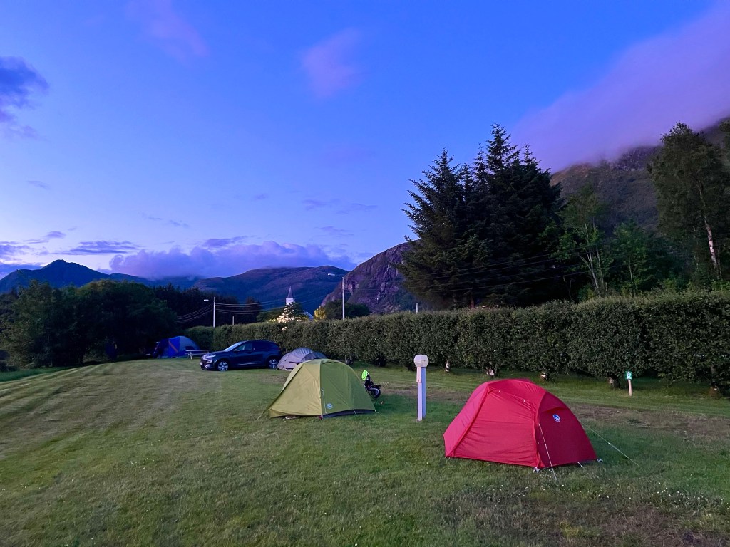
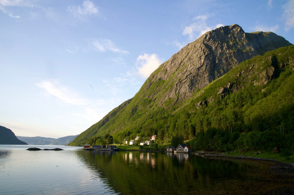
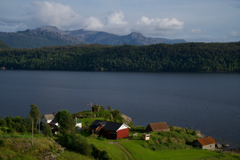
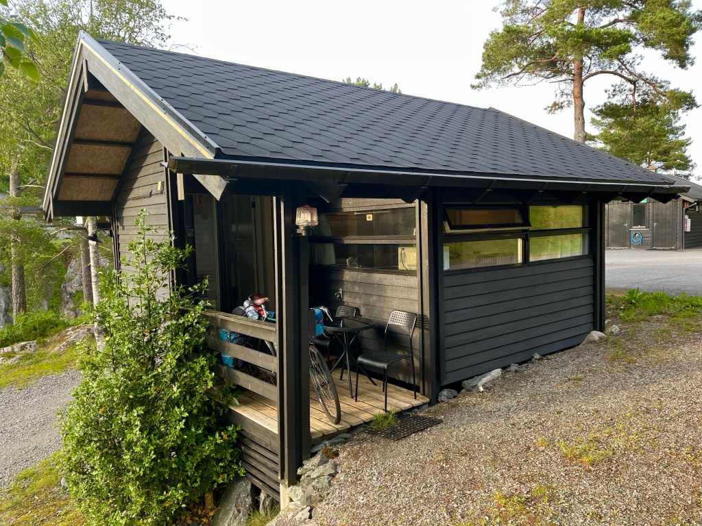
From there it was only a short hop to the scenically positioned and very pleasant Sandneset campsite, situated on a small lake, and with a wall of cliffs in behind. It was only a small site, but luckily it was late enough in the day that there were no other demands for the kitchen, and we could make ourselves at home.
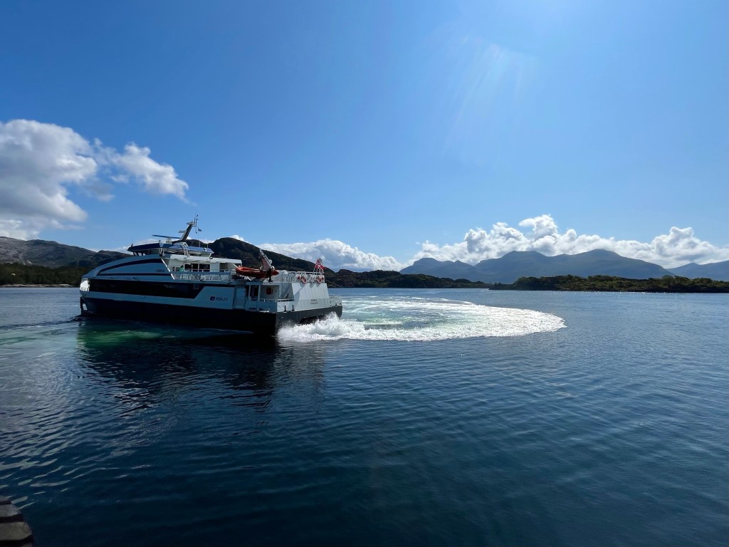
I rushed to pack before heading for the ferry to Smørhamn, arriving at a much larger port than I was used to and not quite sure where the boat would appear. Suddenly, I saw a large high-speed catamaran pulling in near the terminal, so rushed to have a look. When I saw that its destination was Frøya, I thought it must be the wrong boat, until I realised that, although the port of Smørhamn was on the island of Bremangerlandet, it was very close to a causeway to Frøya, so I joined the queue.
The ferry had me across the sound in no time, and I took a little time to soak in the surroundings on what was a beautiful day. A fellow cyclist from Austria, Peter, arrived and we tried to figure out when the next boat would be going the other way. Peter had started out from Nordkapp, 2 and a half weeks before, and was really going some, covering 150 km a day.
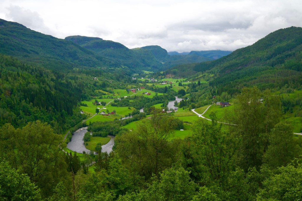
The road across Bremangerlandet was one of the most stunning I’d ever ridden, and for the most part it tracked the edge of the waterline of lakes and fjords while mountains loomed above. Soon, I realised that the ferry off the other side of the island was a little earlier than I was thinking, but that I might just make it if the road remained flat…
But with 2 miles to go the road turned a corner and started to rise, into a headwind, and I knew the game was up.
Emerging from the tunnel at the top of the climb. I could see the boat had already set off, and a few minutes later I was at the pier, with an hour and three quarters to kill.
Finding a kebab shop in Måløy, I took on a few calories, before heading to the supermarket to stock up for an evening in the saddle. Some granola, yoghurt, cinammon flavoured lefse (Norwegian flatbread) and a Skolebrød (sweet bread roll topped with custard and icing), being some of the items now commonly found in my panniers.
At half past 6 I set off across the sweeping bridge out of Måløy, all set for a night in the fjords. The going was good, with long flat stretches and quiet roads. There was little activity in any of the small settlements that lined the route, the harbour at Flatraket being the exception, with a small motorboat heading out to sea.
For the last hour or two of the day, I was scouring the landscape, looking for anywhere that might give the impression that it would make a suitable camping spot.
With no such luck, I was quickly approaching the hill up and over to Aheim, and it was nearing 10 o’clock. I was concerned that starting up the hill would be a non starter as it would be windier and that would be a problem for my compromised tent.
But, Komoot had a possible solution, a user had marked a point at the top of the switchbacks that was out of sight of the road, so I took the chance, and on arriving there thought it was perfect. It was a flat area on top of an old road that had now been overcome by vegetation, and there was some protection from the wind, so I quickly built up my tent, lashing the broken joint with glue and tape, and hoping it would hold the night.
Just beside the tent, there was a handily placed picnic bench, just waiting for me to set up my stove, but wait, what was that? Oh, the midges…
In the morning, I was sitting out a passing shower when disaster struck! In an instant, a strong gust of wind came off the fjord and buffeted the side of the tent, and snap, the piece joining the middle pole section to the legs had been ripped apart and the end of the tent had collapsed.
Suddenly I was fully awake, and at a loss for what to do. The pole could be placed back into the connecting piece by hand, but the screw thread had been completely stripped and it was no longer secure, so susceptible to failure with even lesser winds. I had been right to predict that there was bound to be a weakness in having such a complicated pole design, and the decision to bring the tent had clearly been a mistake given the likely conditions.
While holding the pole together, as best I could, when the wind picked up, I rushed to put on my cycling kit and dived out of the tent, dismantling it as quickly as possible, before having to pack up sharpish to stop all of my equipment getting wetter still. Thinking through my options, it seemed like I might have to, either buy a new tent, or potentially attempt a long distance tent swap at the mercy of the postal service.
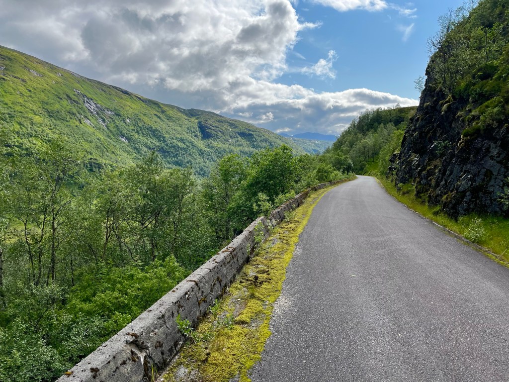
For now, though, all I could do was get back on the road and try to surmount the 1500 foot pass currently standing between me and the large town of Forde. Starting off on the lower reaches, it was hard to keep my temperature in check, between the high humidity, the constant precipitation and my waterproof clothing. One positive, was that my legs, which hadn’t exactly been thriving on the bike up until now, seemed to be coping ok on these not too extreme gradients.
After climbing for an hour, the road had plateaued momentarily and I dared to hope that the climb was over, but alas, when I rounded a bend the road veered up ahead, and I came to a sign that seemed to signify that the climb was only really just beginning. This was the point at which trucks were to don their snow chains.
At 7%, the gradient had definitely ramped up and I tucked into a bus shelter to cool down a little and get out of the rain.
Further on, I encountered a herd of cows standing in the road, and hoped they would take averting action before I had to, but the animals wouldn’t budge, appearing to be a little startled to see me struggle so slowly up the hill. Veering out of their way, I gave them a wide berth before catching a glimpse of the the ultimate prize up ahead, a tunnel marking the top of the climb.
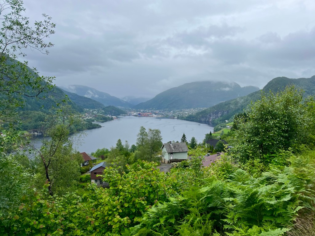
Zipping up my jacket, I careered off down the other side, and soon Forde was in sight, and it was a reassuringly large town, soon facilities might be at hand.
Creeping around the edge of the Fjord through a tunnel now for bikes, I emerged from the wilderness into the middle of the town where it straddled a thundering river.
With my power bank now empty and my phone battery running worryingly low, I had to choose wisely regarding where to eat. Opting for Peppe’s Pizza as a sit in option, I was delighted to find that they had a lunchtime buffet option. Furthermore, when I was shown into a booth with its own power sockets, I knew I couldn’t have picked any better.
Making use of the amenities available, I finally found gas for my stove, and also picked up some superglue and duct tape. It had been suggested to me that I could try supergluing the pole into the connector, and having realised that this would still allow the poles to be folded up the same way as before, then it became a viable option.
At least having the glue gave me the possibility to try staying in the tent again, but for this evening I’d booked a cabin at Krokanes campsite in Florø. I had a lot of wet kit, and many empty batteries to recharge.
Heading out of town on highway 5, I soon discovered that I wouldn’t be following it all the way to Florø, when the road turned north and through a 6 km tunnel in which bikes weren’t allowed. The route veered off through a charming, and flat valley, before swinging west at the far end and the road started to climb, and climb.
Slightly worried at this development, I checked the route profile for the road ahead and was taken aback. The climb earlier in the day had maxed out at 1500 feet, but this one kept climbing up to 1700. I wish I’d known that when estimating my time of arrival at the campsite.
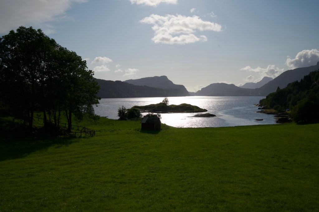
The climb was long, but the gradients were kind, and in stark contrast to earlier it was now hot and sunny, and with no wind. The lack of wind was a concern, as it probably meant that the wind was on the other side of the mountain and that I’d have a 30 mile struggle along the fjord when I got to the other side.
Luckily the breeze was light and the weather was beautiful for the descent down to the fjord at Eikefjord. Pedalling strongly on the flatter gradients it was a lovely evening for cycling, and a relief to make it to the campsite at 20 to 9, with an hour or so before sunset.