Tag: michael

UK 2021: Land’s End to John o’ Groats

So, what does your average globetrotting cycle-tourist do during a world pandemic I hear you ask? Unsurprisingly, look for the nearest suitable challenge not necessitating the use of an Aeroplane and get packing is the answer.

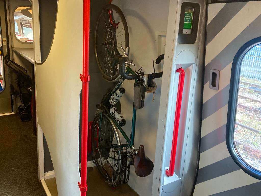
And here I am, packed. Packed off on the 9:08 train from Edinburgh Waverley and with over 12 hours to kill before I arrive in Penzance. My challenge is – of course – Land’s End to John o’ Groats. 1000 miles, from the south-western tip of the British mainland to the north-eastern one.

The route I am intending to follow is the one presented in the Cicerone LeJoG guidebook, and is described as the ‘optimal’ route by none other than the author himself. Optimal because it keeps to quiet roads without adding greatly to the overall mileage.

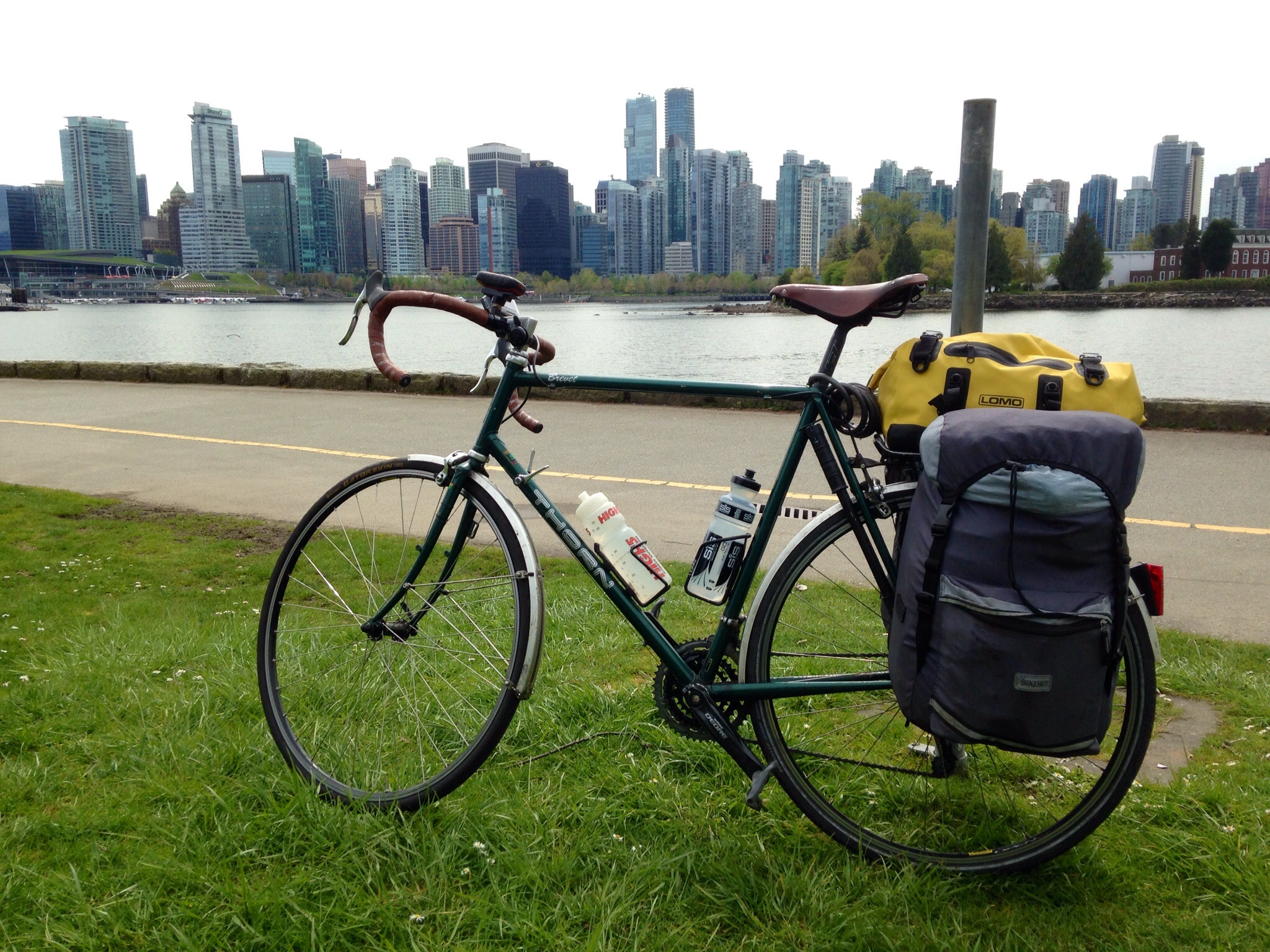
To this stage, my planning has been minimal. I booked a train – and accommodation for my first night in Penzance – and that’s about it! Hotels in England look expensive, so I’ve brought my tent and hope to camp most nights, but not having planned where I hope to reach each night, I’ll need to seek out my accommodation options as I go. Hopefully this isn’t complicated too much by the English school holidays or lingering Covid restrictions…

Vietnam 2020: The Ho Chi Minh Trail

Gearing Up

Since I returned from cycling the Pacific Coast Highway in June 2017, I have been asked countless times if I had any more cycling trips planned. The answer was usually, ‘no, not yet, but I’ve had a few ideas!’ It was always going to take some time before I was ready to undergo a similar trip again. For a start, successfully completing my biggest challenge yet meant that my ambitions were likely to remain higher for future endeavours, and that required me to find a long enough window with which to fit my plans.

Another problem was that, since the America trip, my touring bike had had a fairly tough time of it. In January 2018, I was out for a short cycle not far from home when I changed gear to pedal up a steep hill and there was a loud crunch from the back of the bike. The chain had broken, the rear derailleur had snapped in half and bent the derailleur mounting point on the frame in the process. Not good. In the end, it turned out an absolutely trashed small chainring, from my 2000 mile sojourn, was the root of the problem, and it was really spring 2019 before it was back up and running properly.

Then it was time to start planning something…

Opting to go in January helped narrow the range of possibilities significantly, and in the end I was trying to decide between an End to End of New Zealand or something in South-East Asia. I decided to leave New Zealand until I was feeling less adventurous, so South-East Asia it was. I’d been to Thailand, so not there. A lack of tarmacked roads and a predominance of hills did for Cambodia and Laos respectively, and eventually, it was the lure of a 1000 mile stretch of well-maintained tarmac through rural farmland and stunning karst mountains that won it. So, as of the 4th of January, I’m heading for the Ho Chi Minh Highway – between Hanoi and Ho Chi Minh City – in Vietnam!

Hope you can join me,

Michael

To read about my Pacific Coast trip start here:

https://pedaltheglobeblog.wordpress.com/2017/04/30/my-pacific-coast-odyssey/

To read about my Morocco trip:

https://pedaltheglobeblog.wordpress.com/2017/02/22/413-miles-and-endless-hills/

Day 1: Vancouver to Porpoise Bay

Day 1: Vancouver – Porpoise Bay Provincial Park

Distance 38.56 miles.
Time: 03:54
Average speed: 9.9 mph.

image.jpg

Having arrived at Vancouver airport last night, I took the Skytrain into Downtown, before making the foolish decision to try and carry my 27 kg bike box and additional pannier the kilometre to the hotel. By the time I’d got there, I was an exhausted, sweaty, mess and all of the handles on the giant cardboard box had disintegrated, requiring me to drag the box for block after block along the sidewalk.

This morning was a busy one as I had to pick up camping gas amongst other things, and pack up the bike. Considering the problems I had setting up the bike before I left, I was surprised to achieve the perfect set-up on the first attempt! I also managed a whistle-stop march around Vancouver, enjoying some great Waffles at Caffe Artigiano.

DSC_0103

The beginning of the route was lovely using bike paths through Vancouver – along the river and through Stanley Park, even passing some totem poles en route. I took the bridge to West Vancouver, then followed Marine Drive – over some steepening hills – out to Horseshoe bay. The ferry to Gibsons was some time off but I had great fish and chips at the oddly named ‘Troll’s fish and chips’.

image.jpg

After a nice ferry journey, with views of the Rockies in the background, I realised that there were only 2 hours until sunset, as I struggled up the long steep stretch out of the ferry terminal. Taking a wrong turning down into Roberts Creek didn’t help, and either did arriving at my first intended campsite at 19:50 to find it shut!

8 miles and 40 minutes later I made it to Porpoise Bay and was relieved to find the biker field open, if empty.. Luckily the warden happened along to turn on the showers for me shortly after.

Plan for tomorrow: Start earlier!

US and Canada 2017: Pacific Coast Highway

US and Canada 2017: Pacific Coast Highway

image

My Pacific Coast Odyssey

So, the day is finally here! Tomorrow I fly to Vancouver, hoping to cycle down the Pacific Coast to San Diego. The route is around 2000 miles long, and I have 39 days in which to complete it. That would require me to cycle an average of 51 miles a day with no days off the bike. I’m working on the principle that to try and fail is better than to sit at home!

My route travels north out of Vancouver, then crosses onto Vancouver Island to start the journey south. I will then cross into America through the San Juan Islands, continuing south through Washington state, Oregon and, finally, California to reach the Mexican border in San Diego.

Making a hard task harder, It was brought to my attention, yesterday, that a major part of Route 1 – through Big Sur in California – has been closed for the foreseeable future due to landslides and the subsequent demolition of the Pfeiffer- Big Sur bridge. Fortunately, the American Cycling Association (whose maps I’m using) have released route data for an inland detour which only adds around 30 miles to the route.

For the trip I will be using my trusty Thorn Brevet touring bike and Bikehut panniers with a Lomo rack-top dry bag. I have a new Vaude Terralight tent (1.85 kg) to try out and I will be using a Garmin Etrex 20x for navigation.

Wish me luck!