
Distance: 61.04 miles
Time: 7:15
Elevation Gain: 5,607 feet
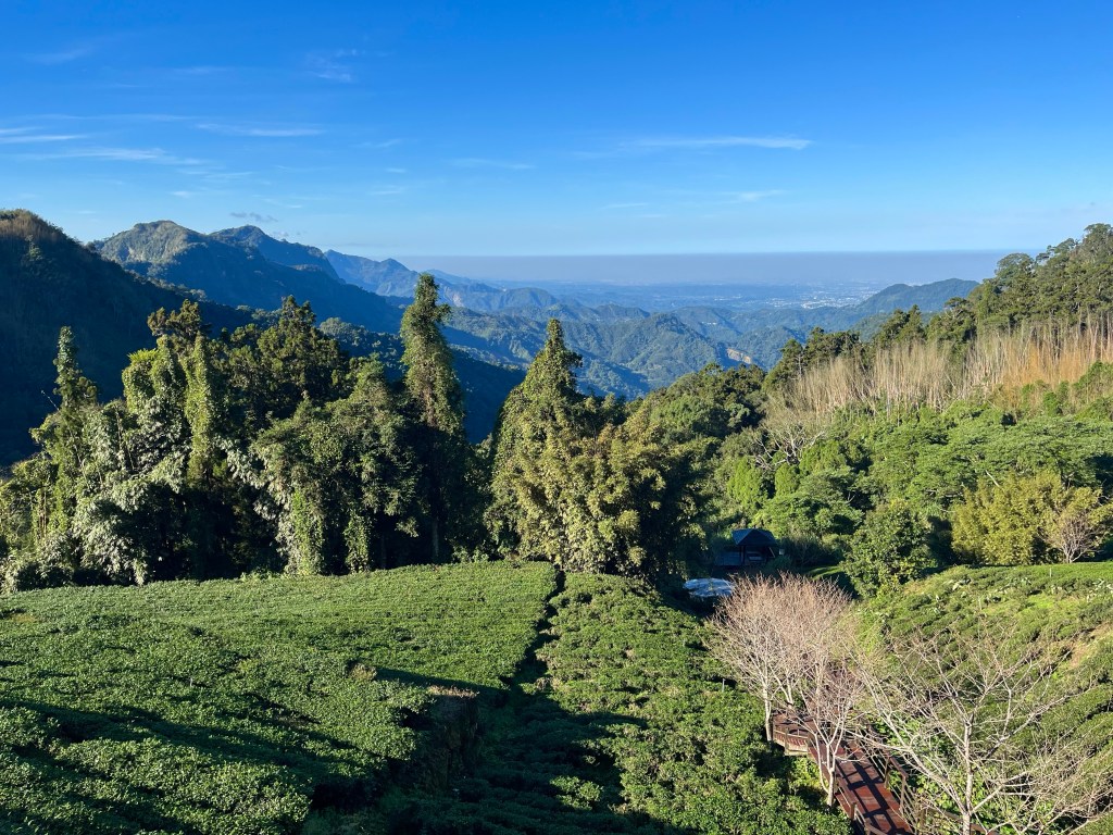
The climb the previous day had been the biggest cycling climb of my life, in terms of elevation gain, for a single climb. Going from practically sea level, to 1,345 metres, almost exactly the same height as Ben Nevis, Scotland’s highest hill. I had climbed over 2000 metres before, in the Moroccan High Atlas Mountains, but over two days, and not from sea level. The previous biggest climb I had done, was the Col de Madone, on the French Cote D’Azur, and it only went from sea level, up to just over 900 metres.
Now it was day 2, and I had to do the same again, with the road taking me from 1300 metres to over 2600 metres. Luckily the views were already good, so hopefully they would get even better on the way up.
The good news, it was a lovely day. The bad news, the girl in the guest house had mentioned a road closure after a certain time. It probably just meant that they didn’t want people on the upper mountain after dark, I decided, so if there was a checkpoint farther up the hill, then I’d just have to get beyond it, before it closed, as my intention was to continue over the top of the mountain, and drop down the other side to where I had accommodation booked for the evening.
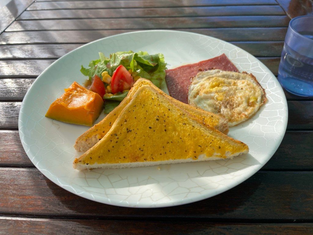
The breakfast at the Sunrise 23.5N guest house had been very nice, and mercifully not another buffet, but that did mean that I hadn’t had as much to eat as I normally would have, so I popped back into the 7-Eleven for a hotdog and to pick up some supplies for the climb, as as far as I was aware this was the last shop until after I’d dropped down the other side of the mountain, in nearly 60 miles time. Although, there was apparently another 7-Eleven, at about 2200 metres, somewhere within the Alishan Forest National Recreation Area, though that would require paying to get into somewhere that wasn’t actually on my route.
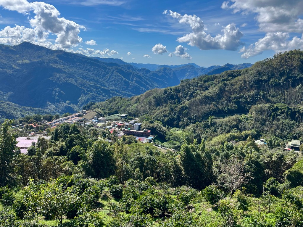
The first 10 miles were really rather pleasant as I skirted around the shoulder of the mountain, with my elevation rising gradually, up towards 1500 metres.
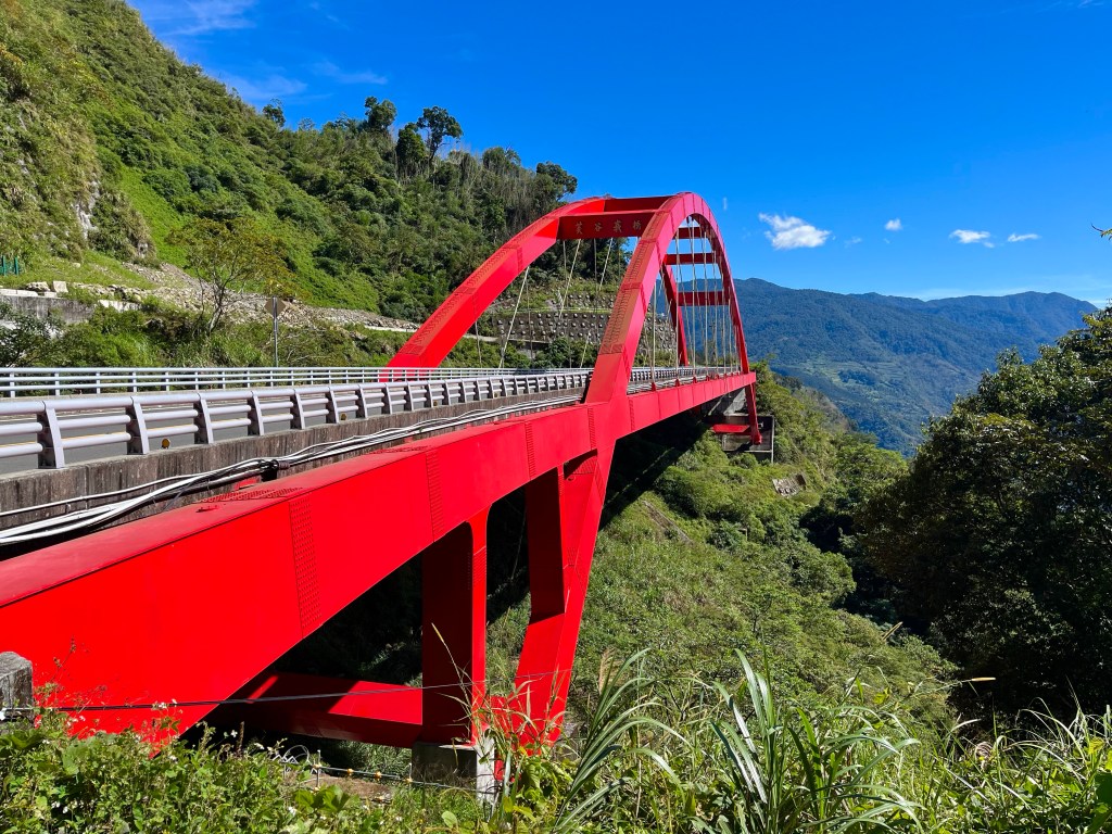
A tunnel and the impressively situated ‘Fugue Bridge’ told me that at some point in time, someone had tried to keep the climbing to a minimum, on this circuitous slow-build towards the top.
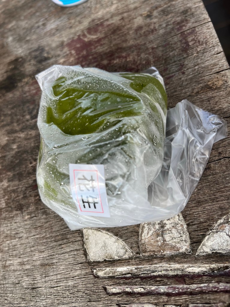
Just before the climb started proper, I spotted a shop near the Shizilu mountain railway station, realising that this was probably the first time I’d ended up in a small local establishment, as opposed to one of the big chains. There wasn’t a lot in the shop, and it seemed like a family affair with multiple generations inside waiting for trade. A man pointed towards a board of script before opening an insulated box on the counter and bringing a few small dark green parcels out. ‘Good’ he said, so I bought two, not really sure what I was buying, but from a distance, they looked like small leaf-wrapped sushi parcels, so when I got outside, and unwrapped one, I was apprehensive, but pleasantly surprised to find that they were mochi balls, sweet soft rice dough, around a filling of, effectively, peanut butter. I’d only ever had them as an ice cream dessert before, so these were an unexpected treat.
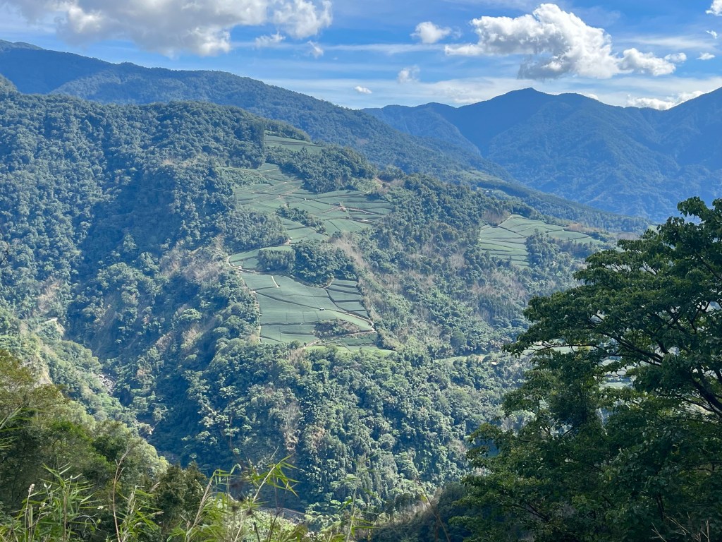
After grinding up to the top of the ridge, I found another shop I hadn’t expected, at a petrol station at over 2100 metres altitude, so stopped for a cold drink, accidentally buying some salted water, the salt proving a very welcome addition in the circumstances.
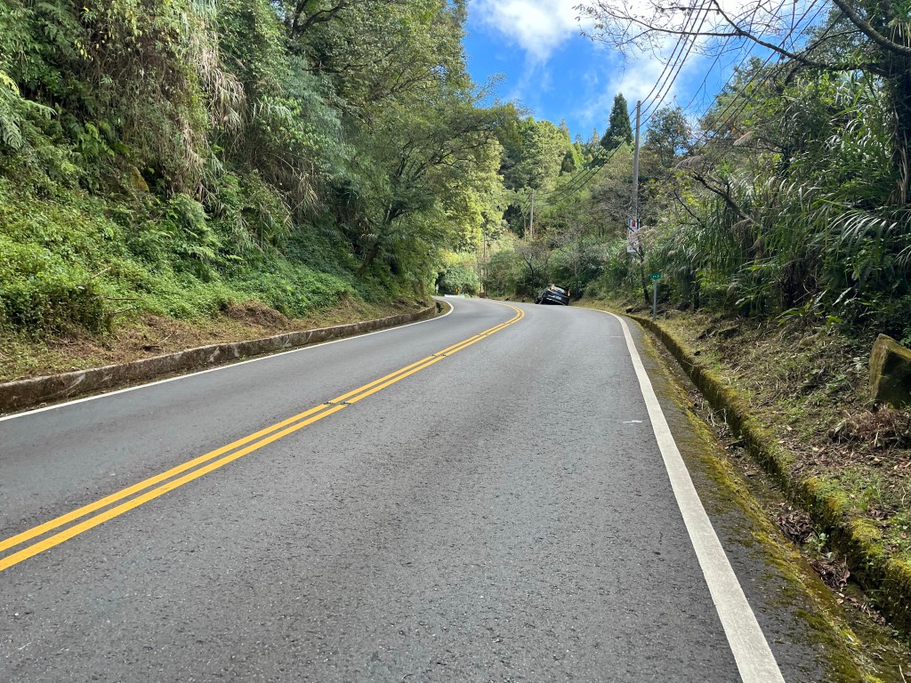
Soon after, I reached the entrance gate to the Alishan Recreation Area, and noted that I still hadn’t seen a checkpoint, and was now at 2200 metres.
The road levelled out for a period, with even a few cheap miles on a slight downhill, before I passed through another high altitude settlement, with views across to – what I knew must be – Jade Mountain, or Yushan, the highest point in Taiwan, at 3,952 metres, before the final throes of Highway 18 as it worked its way up to the top of the pass, at the Yushan National Park, tourist information centre.
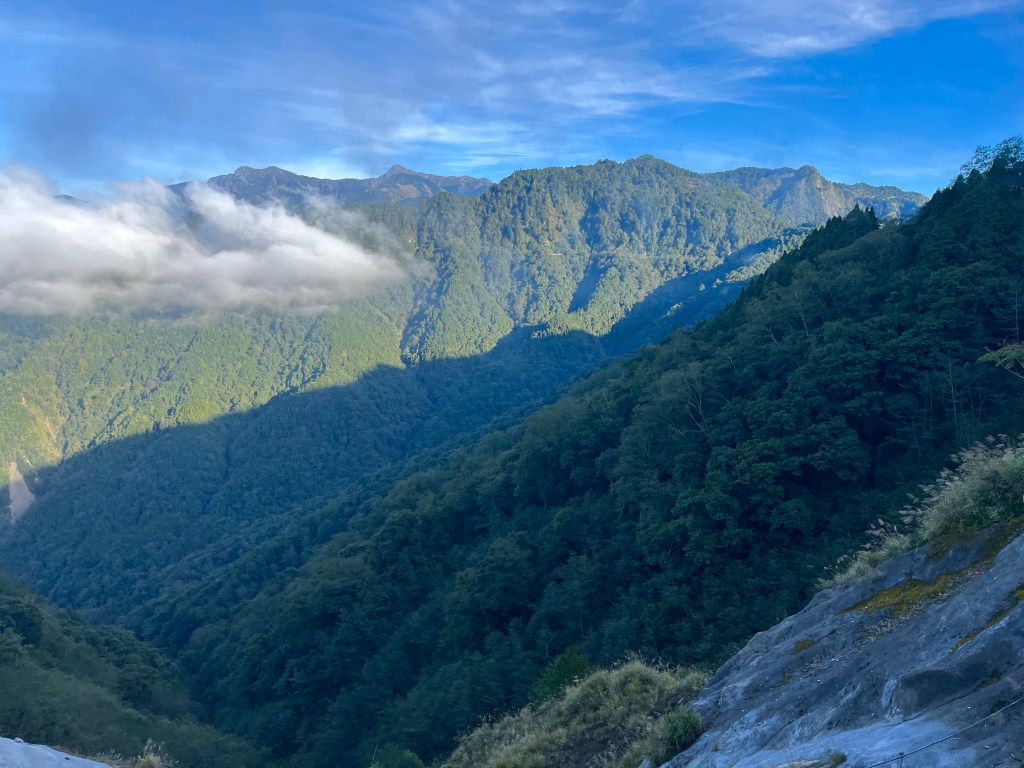
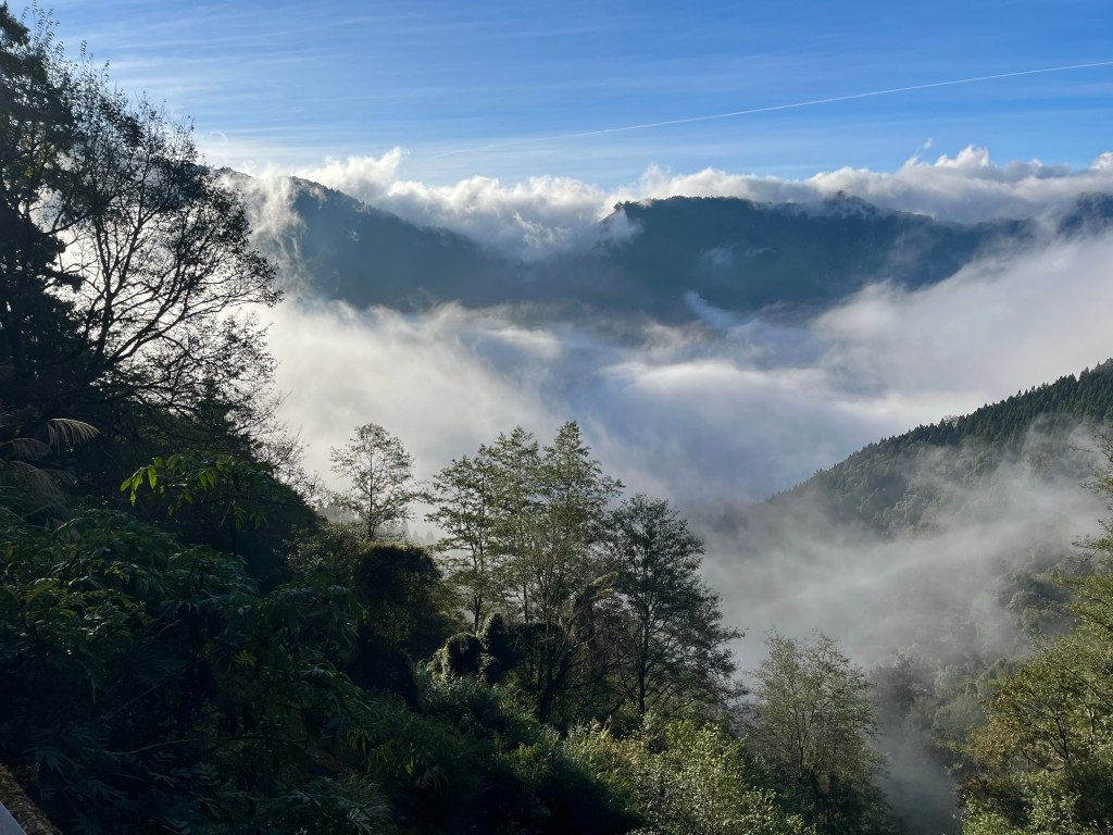
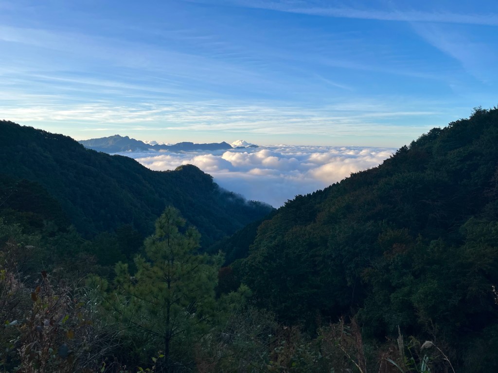
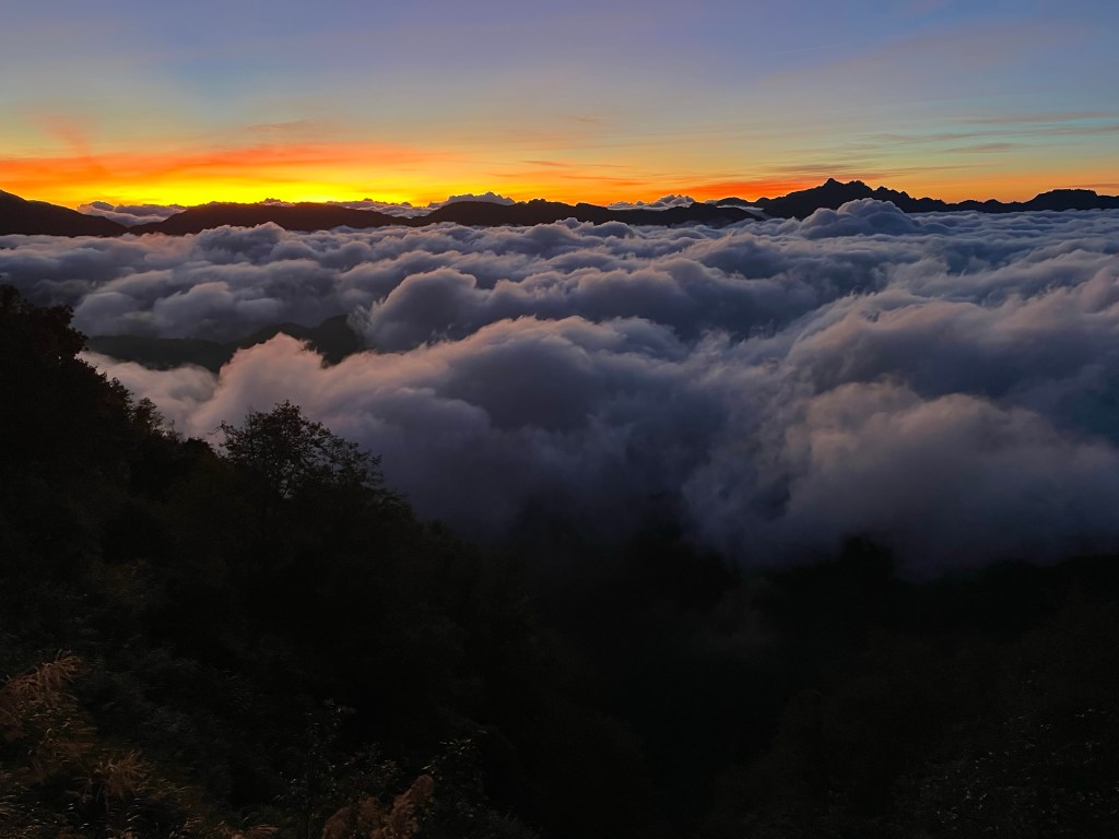
I’d reached the top, just as the sun was setting, and the views out over the cloud inversions in the valleys were incredible.
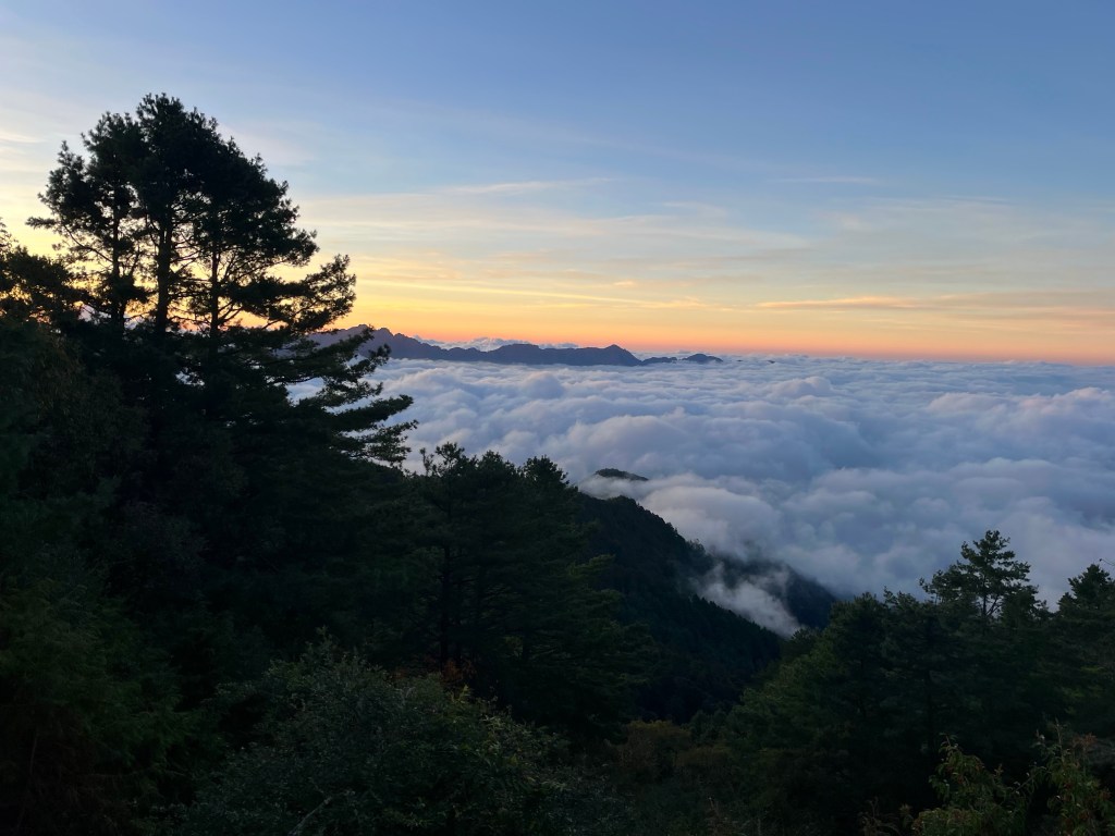
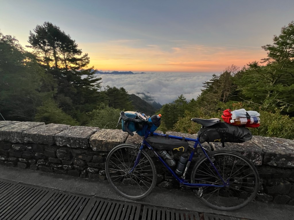
Carrying on over the top, at 2610 metres, Highway 18 gave way to Highway 21, which carried on down the other side, and it was just as the roads swapped over at the top, that I saw the checkpoint, and luckily there was no one inside, but as I crested the summit and made to disappear as quickly as possible, I caught a glimpse of the sign on the way past. Overnight road closures, for roadworks, 17:30 – 07:00, and it was 17:20 now, I thought it unlikely I’d make it down the 20 mile descent in the next 10 minutes, but what choice did I have?
30 miles this way, I had accommodation booked, and if the road was closed, it should be relatively quiet. The alternative was to retrace my steps back the 30 miles I’d just done – along with all the traffic created by the other people who’d come up for the sunset – and hope that I could find accommodation again where I’d started the day. I was carrying on and hopefully I could lose a bit of height before any issues arose.
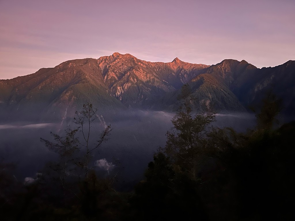
The last glimmers of the sunset left the sky quite quickly, but not before I rounded a corner and was treated to the sight of the Jade Mountain, glowing a pale amber.
The descent was incredible, but with the darkness, the temperature dropped quickly, and I stopped briefly to put my jacket on. I was still feeling the chill, and if I wasn’t in such a rush, I’d stop and get the down jacket and full-finger gloves – that I’d been carrying around the island for just this eventuality – out of my bag.
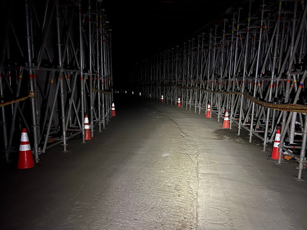
I passed through a tunnel, that was heavily scaffolded and clearly in the midst of repair, but not tonight it wasn’t, perhaps I’d be lucky?
After a considerable amount of time had passed, I checked my altitude again, and couldn’t believe I was still at 1600 metres, until I realised that meant I’d descended 1000 metres already.
A BMW driver sped past me down the hill, and I hypocritically judged the driver for breaking the rules, before remembering the benefit of knowing that a car had gone down the road ahead of me and not returned.

I was particularly glad of the road closure when I ploughed on into the cloud, and visibility dropped to a couple of metres at most, but shortly afterwards – now down at a balmy 800 metres – I had reached the checkpoint at the bottom, and in seeing that this checkpoint was also unmanned, I breathed a sigh of relief, and relaxed for a second as I rolled down the road, glad that no harm had come from my minor indiscretion, until I returned my eyes to the road, just in time to watch as I rolled straight through the middle of a snake.


Great photos today. I loved the red bridge and the cloud inversions. Quite an exciting day in many ways. Thanks and well done.
Jimmy
James A Simpson jasimpson.149@virgin.net
>
LikeLiked by 1 person
Thanks Jimmy.
LikeLike
What fabulous views and stunning sunset shots! And well done on the ascent and descent without getting caught up in the road closures.
Looks like you had a fairly close encounter with the wildlife too. Was it one of the venomous snakes or didn’t you hang about long enough to find out!
LikeLiked by 1 person
Not too sure about what type of snake Elaine, as I say, it was dark, and I only spotted it at the last second. It did look quite peaceful, so I’d assume, sleeping, but I don’t think my bike running through the middle of it would have done it any good, so potentially less of a risk afterwards?
LikeLike