Distance: 33.05 miles
Time: 5:21
Elevation Gain: 5,259 feet
At breakfast, the host was keen to point out the ‘homemade’ items, which included the bao buns and the kumquat marmalade, and they were both very nice.
I was setting off on a two day assault on the ‘Alishan Highway’, otherwise known as Highway 18, as it wended its way, from not much more than 30 metres above sea level, to over 2600 metres above, 100 kilometres later. It promised to be a gruelling endeavour.
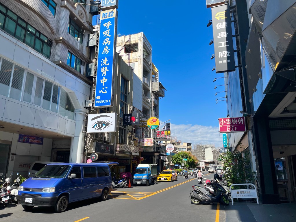
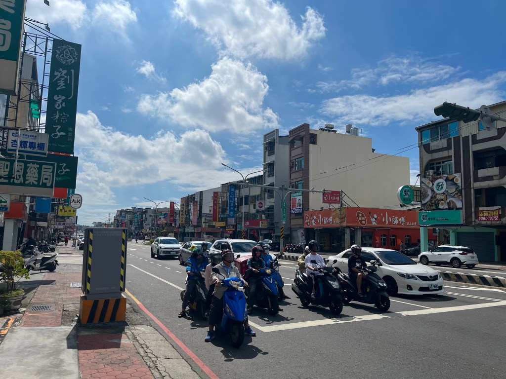
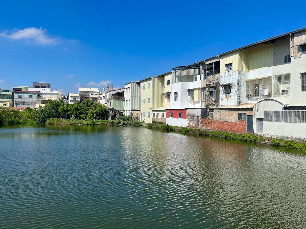
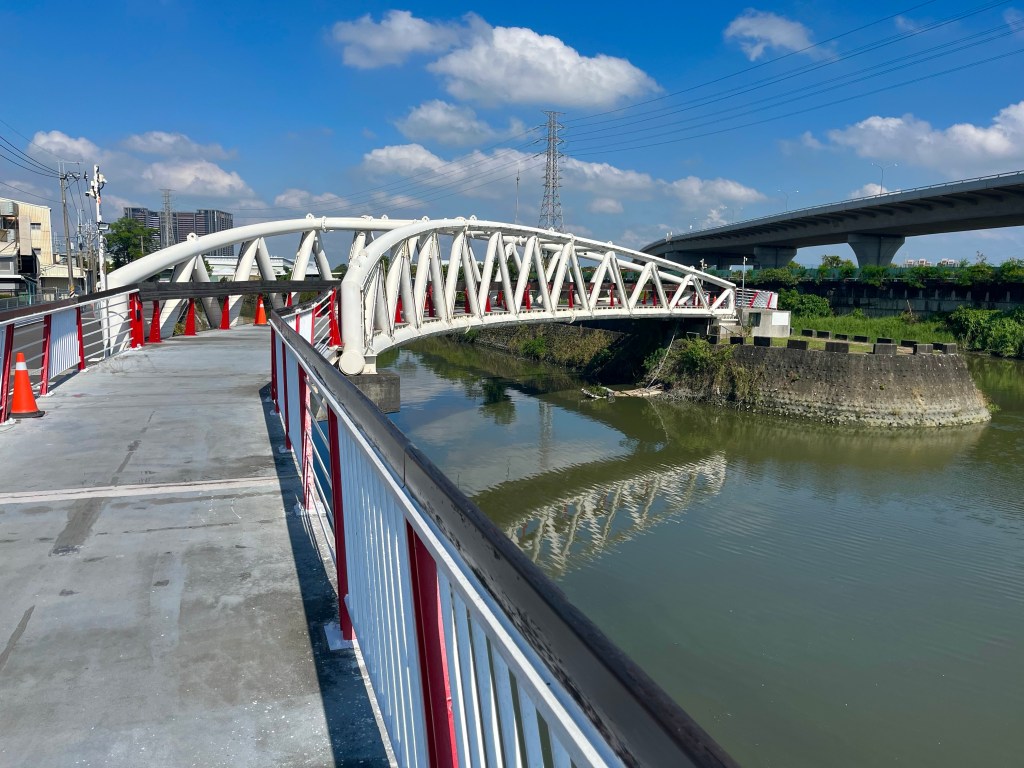
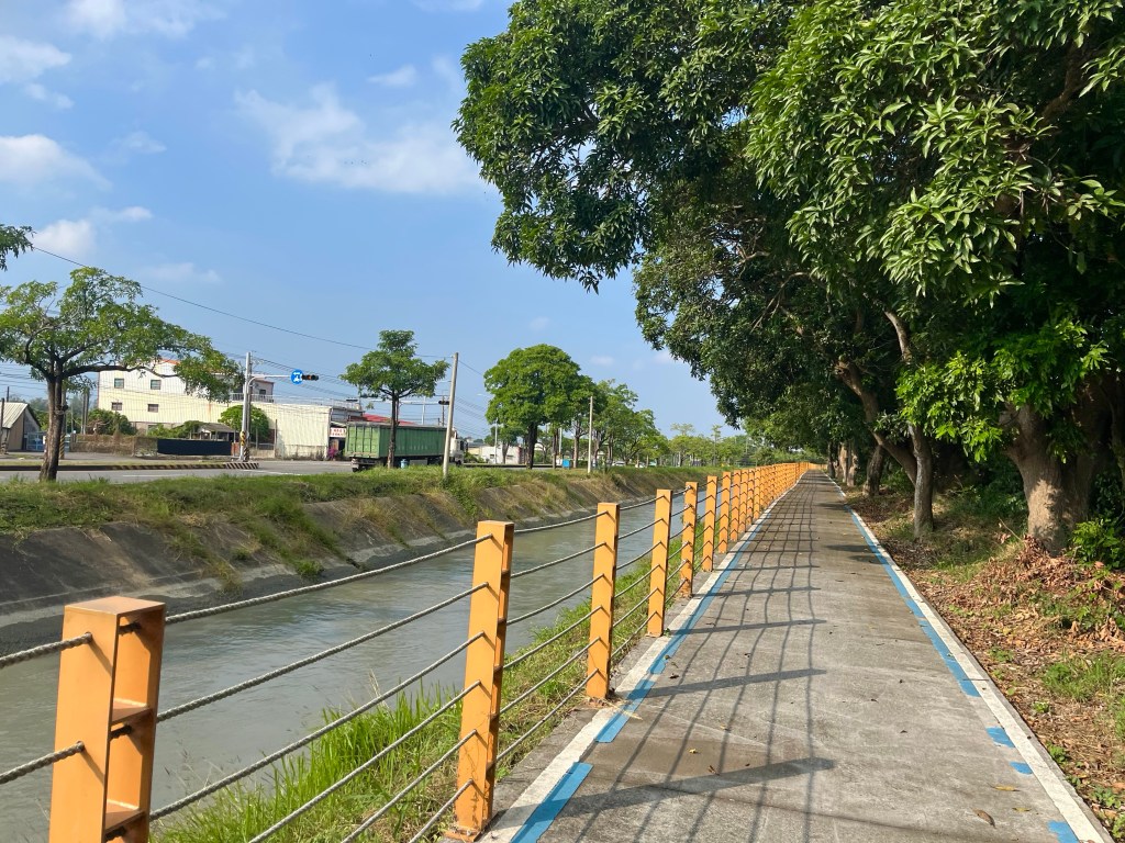
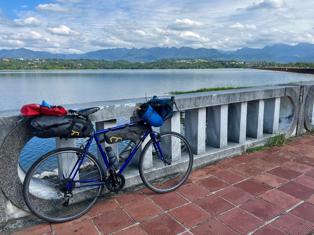
I worked my way back across the city, before taking a few minor roads through the outskirts, and along the side of Jen-i-t’an reservoir, followed by a narrow country lane, closely watched by some attentive four-legged friends, before I dropped down to pick up Highway 18 for the first time.
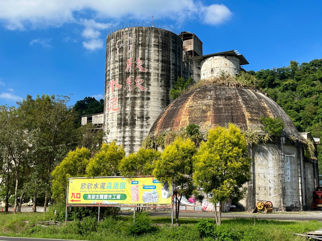
Luckily, it wasn’t too busy as I skipped past a couple of small hamlets and the large Xin Xin Cement Forest Living Park tourist attraction/ closed down cement factory.
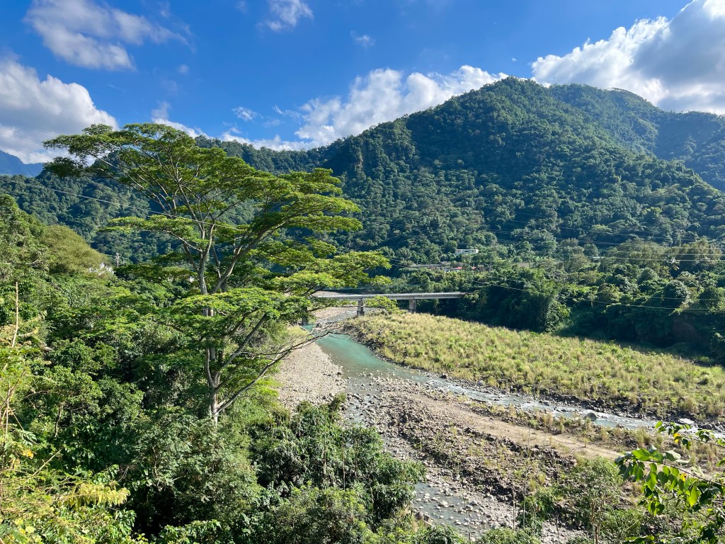
By the time I reached Fanlu Township at the foot of the climb, I was massively overheating, so took the opportunity to stop at the FamilyMart, and take on a little energy – and some cold drinks – for what lay ahead, which, as far as I could tell, was 20 miles of climbing, to an altitude of 1300 metres, before I’d reach my bed for the night.
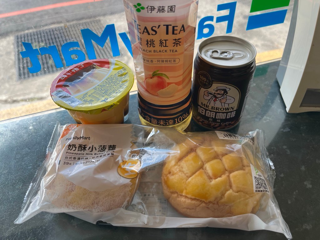
I’d just been in contact with this evening’s host and had estimated that I’d arrive at 7 o’clock, and it was 3 o’clock now, there wasn’t a lot of wiggle room, I’d better get a move on.
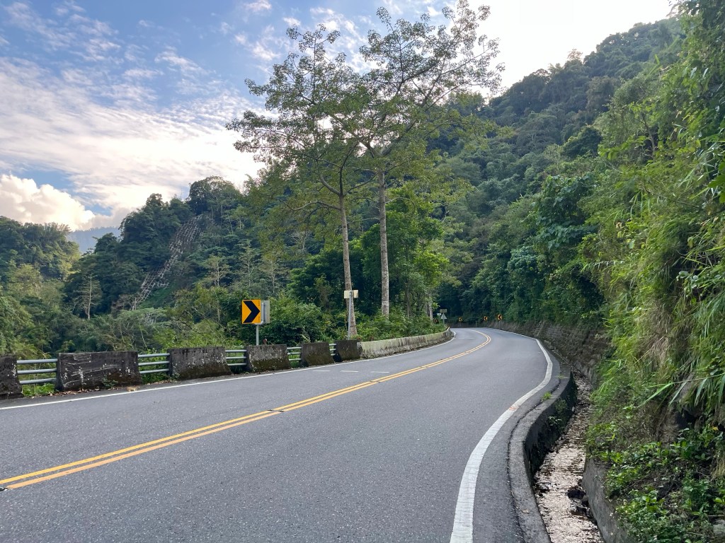
The road ramped up, and passed through a tunnel, which brought me out beside a river that was largely obscured by the verdant greenery, that continued unbounded to the summits of the peaks that towered all around me. Right then, I thought.
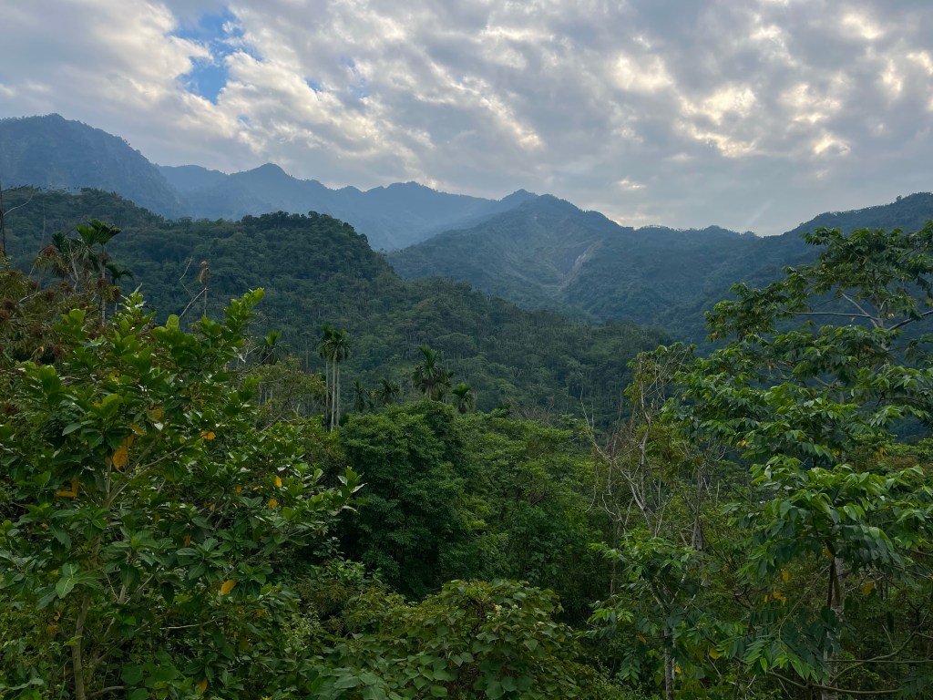
Fortunately, the gradients weren’t severe, and I was able to find a rhythm. The one thing I knew, was that I didn’t have time to walk. And that was my thinking when I reached the turn off to highway 169 – a short cut, that would whisk me up to 1300 metres elevation, in 5K less distance than Highway 18, but would it be so steep I’d have to get off and walk?
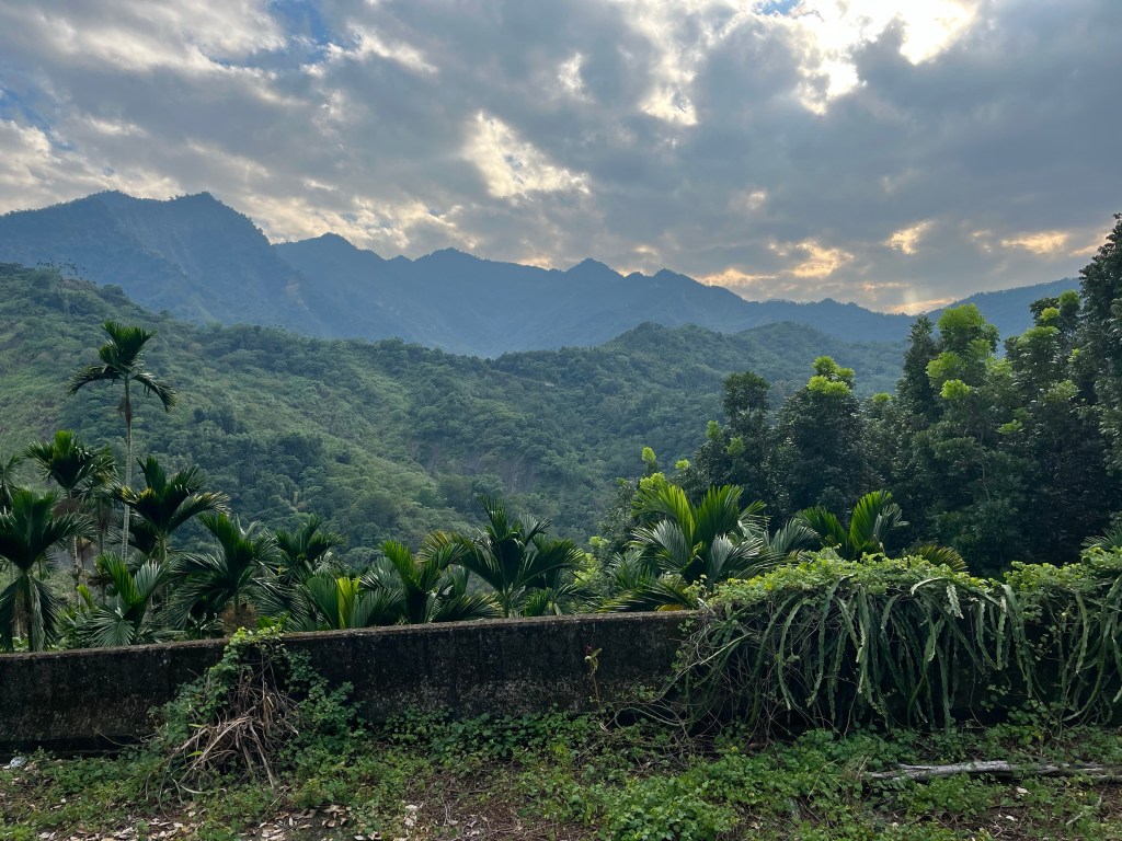
Well, now I’d committed to the longer route, and as I struggled up the 7% pitches at under 5 mph, I was sure I’d made a mistake. How could 5K extra distance – riding at this pace – be anywhere near as quick as the shorter distance with a few possible pushes up steep ramps.
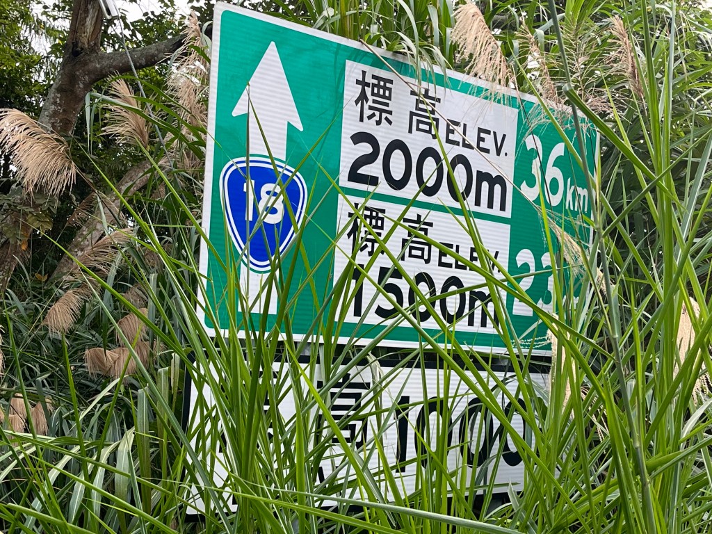
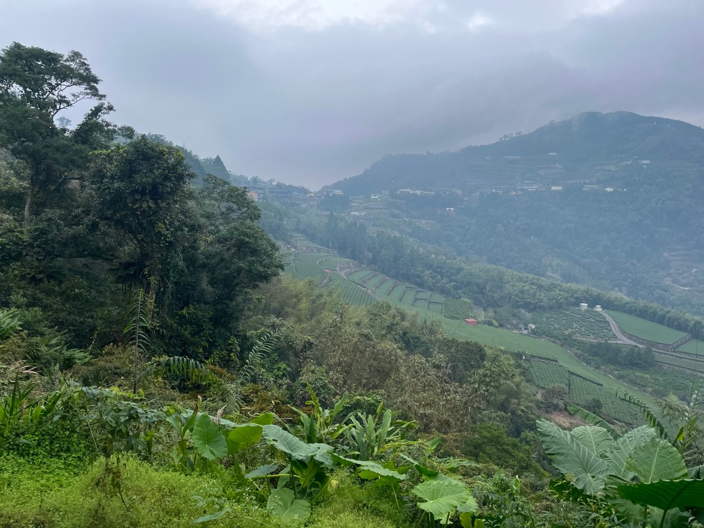
When I reached the col at over 1100 metres, however, I was pleased that I’d been able to ride the whole climb, and when I reached the first of a series of hilltop towns and peered out into the gloom from the Xiding lookout, I realised that most of my elevation gain for the day was done, and now I’d be traversing a high ridge, in the steadily increasing darkness, to the point where Highway 169 cut back in.
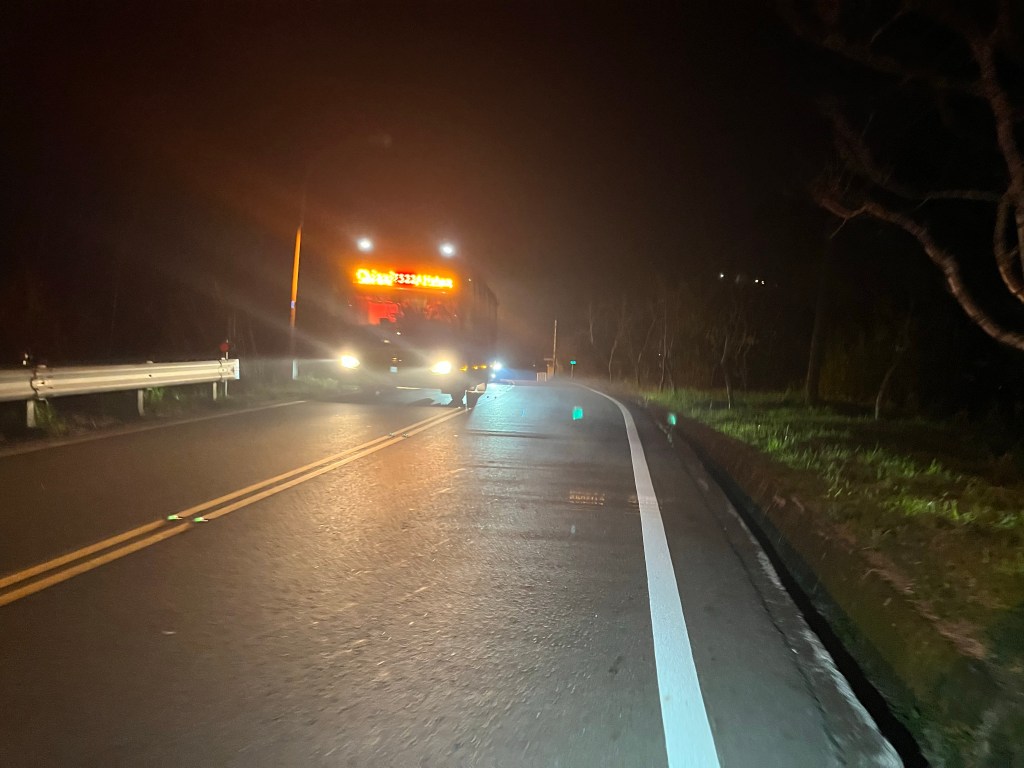
After the roads reconverged, the extra traffic made the riding a little more stressful, especially as large groupings of vehicles, headed by coaches, were now coming back down the hill, from the Alishan National Forest Recreation Area.
Luckily there wasn’t far to go, and soon I’d reached the large settlement of Shizhuo, and the busiest 7-Eleven I’d found yet, in what was clearly a touristy place. It was 20 past 6, and I’d made the 1300 metre climb in just over 3 hours. Useful to know as I’d have another 1300 metres to climb tomorrow.